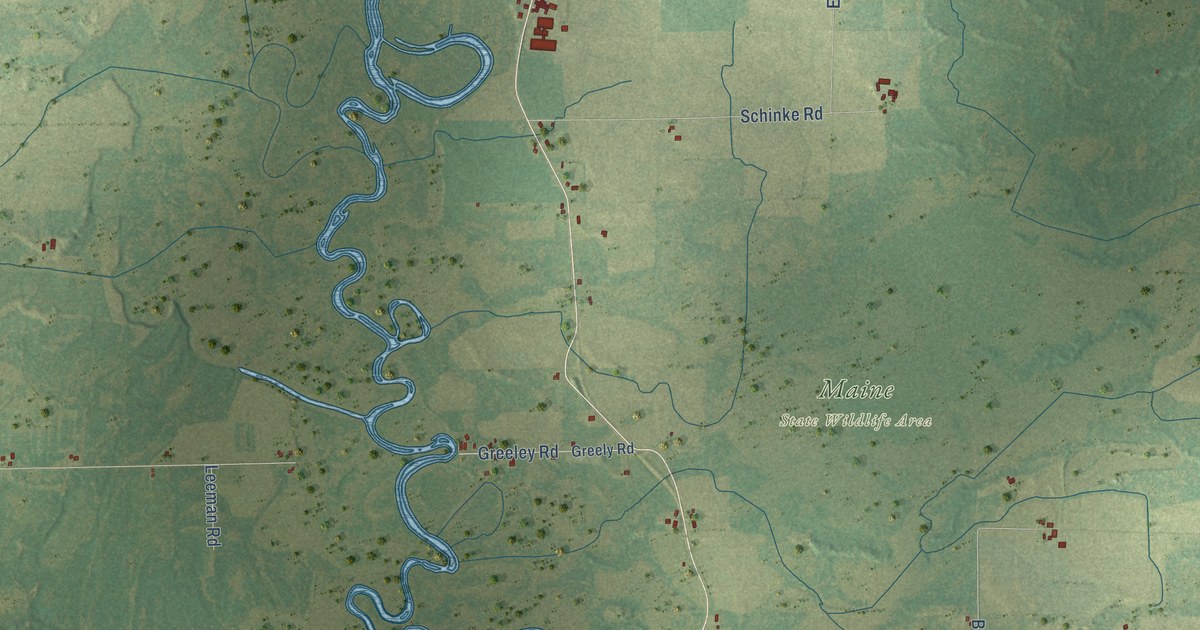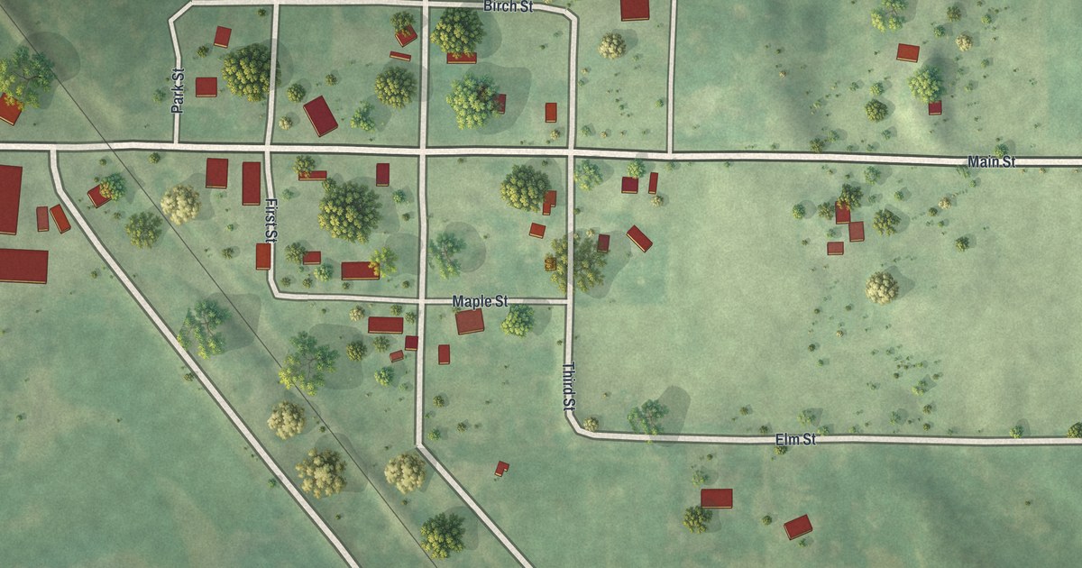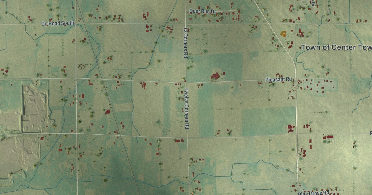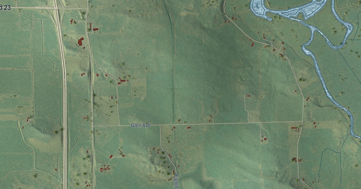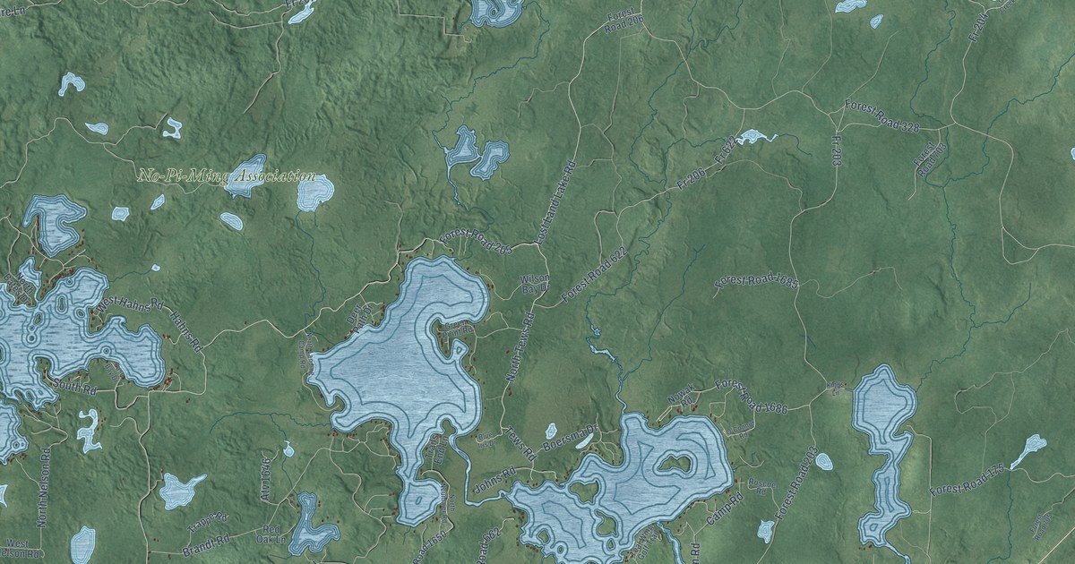
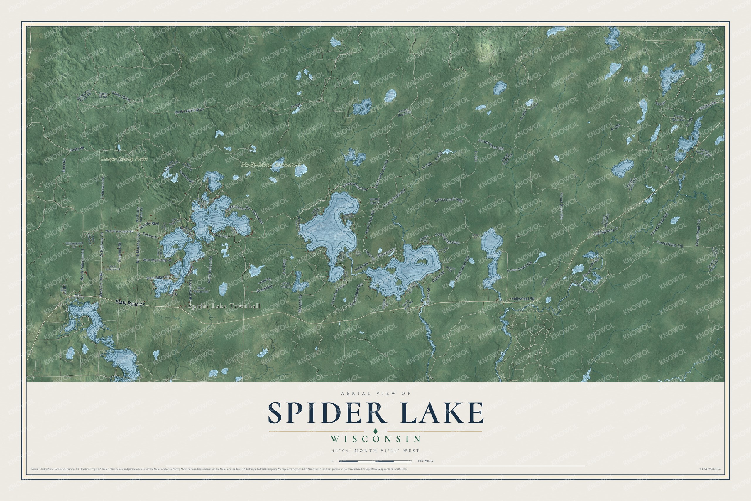
This beautifully detailed map of Spider Lake, Wisconsin was created in 2026 using aerial imagery combined with modern topographical, census, street and landmark data. It's a modern aerial view of Spider Lake in Sawyer County, Wisconsin, that combines modern data with a vintage aesthetic. The roads feature printed names, and if you look closely you can find your exact house accurately shown in its correct location.
Explore an aerial view of Spider Lake, Wisconsin
On this map you'll find Spider Lake Townhall, No-Pi-Ming Association, Sawyer County Forest, State Road 77, Murphy Boulevard, Seely Road, Lost Land Lake Road, North Murphy Boulevard, Janet Road, Fr 206, Fr 208, Fr 622, and more. Each red shape is a building, so zoom in on the preview and look for yours.
Spider Lake is a town in Sawyer County. The Census Bureau counted 487 people here in 2020. The map prints the town name in its title panel, with the coordinates below it.
Take a closer look at the Spider Lake map
Names on this map
These names are printed on this map.
Places: Spider Lake Townhall, No-Pi-Ming Association and Sawyer County Forest.
Streets and roads: State Road 77, Murphy Boulevard, Seely Road, Lost Land Lake Road, North Murphy Boulevard, Janet Road, Fr 206, Fr 208, Fr 622, Fr 203, Mathey Road, Camp 38 Road.
More street names, A to Z
Atv 1646, Blue Iris Drive, Boersma Drive, Brandt Road, Camp 08 Road, Camp Road, County Highway Oo, Deer Path Drive, East Bay Drive, Elaine Drive, Forest Road 173, Forest Road 174, Forest Road 175, Forest Road 176, Forest Road 203, Forest Road 204, Forest Road 205, Forest Road 206, Forest Road 328, Forest Road 622, Forest Road 662, Forest Road 670, Forest Road 672, Forest Road 673, Forest Road 703, Forest Road 705, Forest Road 709, Forest Road 710, Forest Road 792, Forest Road 1265, Forest Road 1650, Forest Road 1685, Forest Road 1686, Fr 204, Fr 207, Fr 336, Ghost Creek Road, Gillich Drive, Green Point Road, Hahns Road, Hollywood Road, Johns Road, Kings Lane, Lake Helane Road, Larson Road, Lugner Road, Meadow Lake Road, Morgan Road, Nf 208, North Balsam Road, North Bates Drive, North Lake Helane Road, North Landing Camp Road, North Linn Drive, North Nelson Road, North Neumaier Road, North Pederson Road, North Ross Road, North Tews Road, North Town Hall Road, Nowak Road, O'Connor Road, Old Highway 77, Paddock Road, Pool Road, Preston Road, Red Oak Lane, Rock Lake Fire Lane, Roscoe Road, Seeley Fire Tower Road, South Road, Stelten Drive, Tall Oaks Lane, Teal Wing Golf Trail, Telemark Road, Tews Road, Town Hall Road, Trails End Lane, Trappe Road, Turners Road, West Allan Road, West Boys Camp Road, West Clear Lake Road, West Dick-Sy Road, West Hahns Road, West Murphy Boulevard, West Nelson Road, West Old Oo Road, West Paddock Road, West Preston Road, Whipoorwill Lane, Wilson Bay Drive.
Created by KNOWOL in 2026. The buildings are small red shapes, the roads carry their printed names, and shaded relief shows the shape of the land. The title panel reads "AERIAL VIEW OF SPIDER LAKE, WISCONSIN" with 46°04' NORTH 91°14' WEST.
Hang it in the hallway, the office or the cabin, or give it to someone who left Spider Lake and still calls it home. Open the preview and look for a street you know. See sizes and frames for the Spider Lake map.