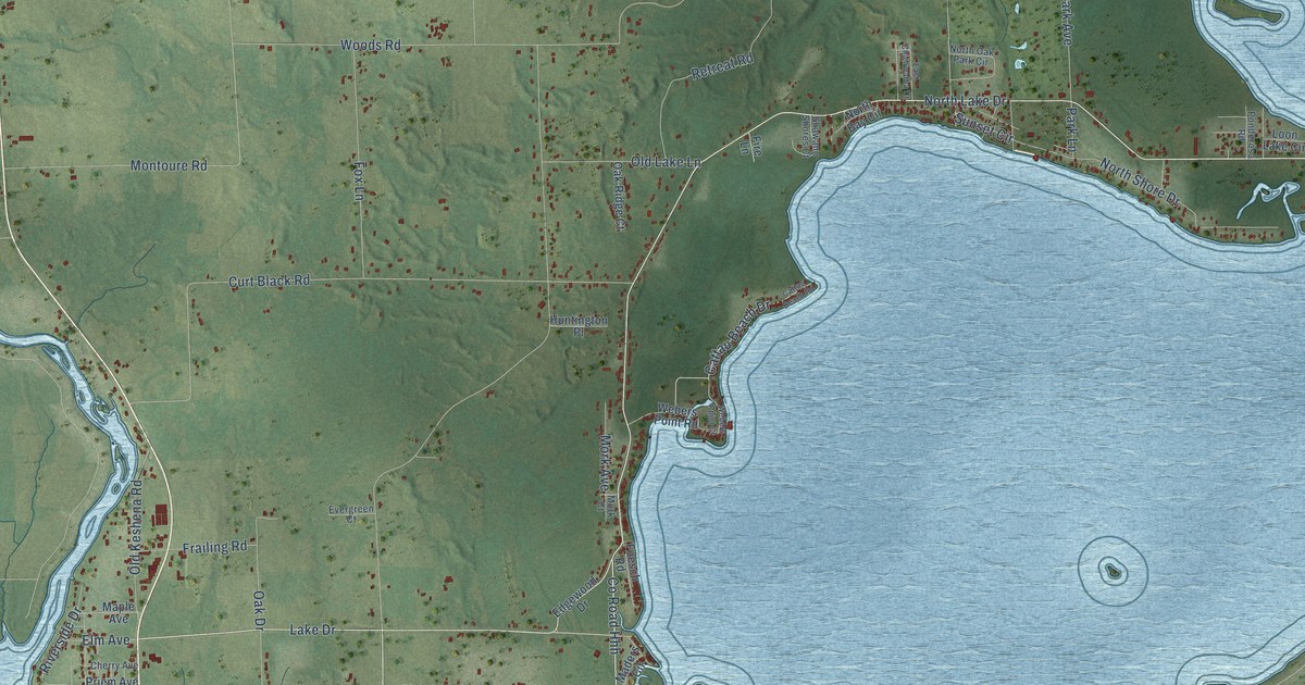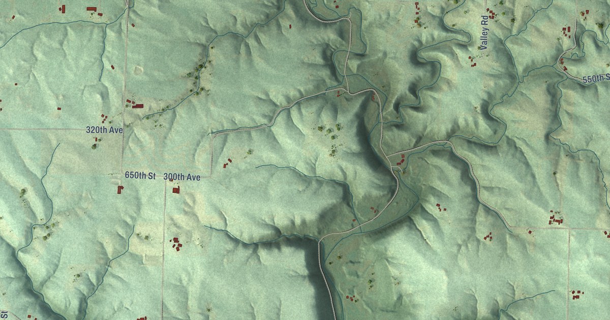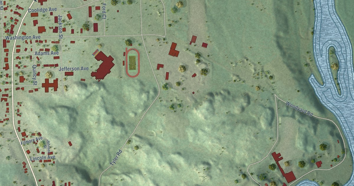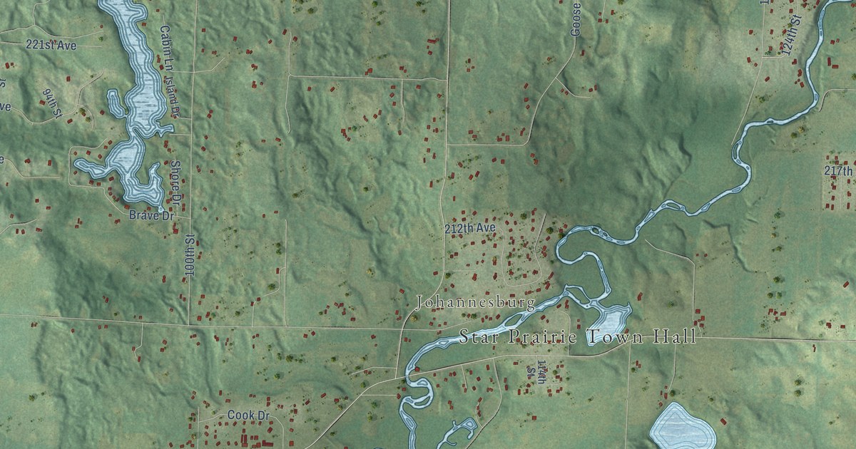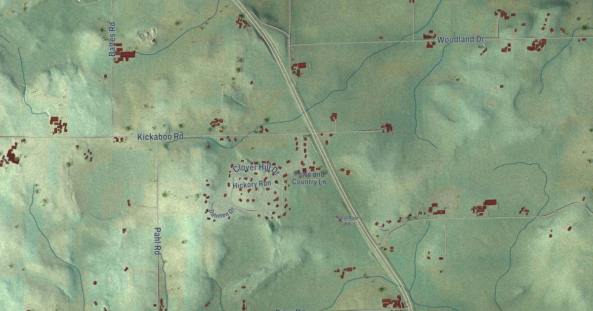
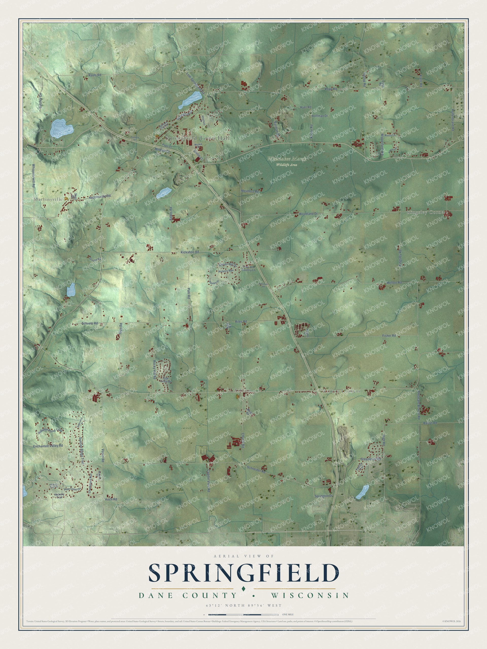
This beautifully detailed map of Springfield, Wisconsin was created in 2026 using aerial imagery combined with modern topographical, census, street and landmark data. It's a modern aerial view of Springfield in Dane County, Wisconsin, that combines modern data with a vintage aesthetic. The roads feature printed names, and if you look closely you can find your exact house accurately shown in its correct location.
Explore an aerial view of Springfield, Wisconsin
On this map you'll find Springfield Town Hall, Martinsville, Kingsley Corners, Ashton Corners, Waunakee Marsh Wildlife Area, Ashton, High Road, Schneider Road, Woodland Drive, Riles Road, Pheasant Branch Road, Meffert Road, and more. Each red shape is a building, so zoom in on the preview and look for yours.
Springfield has a story worth telling. The Internet Archive puts it this way: "The first school house was called John¬
son’s school house, and was located on section 12."
Springfield is a town in Dane County. The Census Bureau counted 2,929 people here in 2020.
Take a closer look at the Springfield map
Names on this map
These names are printed on this map.
Places: Springfield Town Hall, Martinsville, Kingsley Corners, Ashton Corners, Waunakee Marsh Wildlife Area and Ashton.
Streets and roads: High Road, Schneider Road, Woodland Drive, Riles Road, Pheasant Branch Road, Meffert Road, Kickaboo Road, Lodi Springfield Road, Church Road, Kopp Road, Kingsley Road, Whippoorwill Road.
More street names, A to Z
Amethyst Drive, Autumn Pond Trail, Baltes Road, Balzer Road, Barman Road, Bittersweet Court, Capitol View Road, Champions Run, Clover Hill Drive, Dahmen Drive, Darlin Court, Enchanted Valley Road, Esser Road, Fisher Road, Foxfire Trail, Greenbriar Road, Grosse Road, Harmony Pond Road, Hellenbrand Road, Hickory Run, Hickory Trail, Hickory Trail Court, Hoffman Drive, Hyer Road, Hyslop Road, Kalesey Court, Kalschuer Road, Karls Road, Koch Road, Kuehn Road, Maly Road, Martinsville Road, Meier Road, Meinholz Road, Mildred Court, Muskie Drive, Oak Circle Drive, Pahl Road, Pape Court, Pine Cone Circle, Poelma Drive, Ramford Court, Rauls Road, Ripp Road, Rocky Hill Road, Rusty Lane, Schuetz Road, Springhelt Drive, Springton Drive, Statz Road, Sunrise Ridge Trail, Sutzfey Circle, Town and Country Lane, Vosen Road, Winners Circle, Wipperfurth Road.
Created by KNOWOL in 2026. The buildings are small red shapes, the roads carry their printed names, and shaded relief shows the shape of the land. The title panel reads "AERIAL VIEW OF SPRINGFIELD, DANE COUNTY • WISCONSIN" with 43°12' NORTH 89°34' WEST.
It looks right in a kitchen, an office or a den, and it's a gift for anyone who grew up in Springfield or moved away. Open the preview and find your street. See sizes and frames for the Springfield, Dane County map.