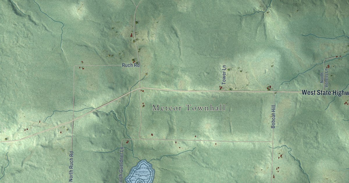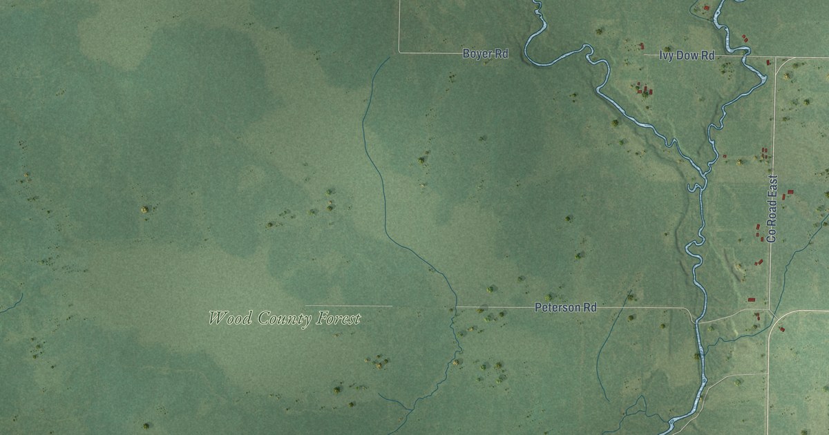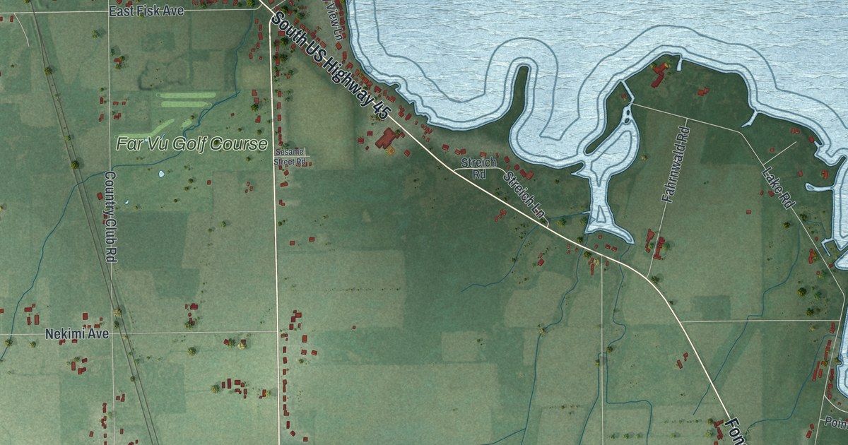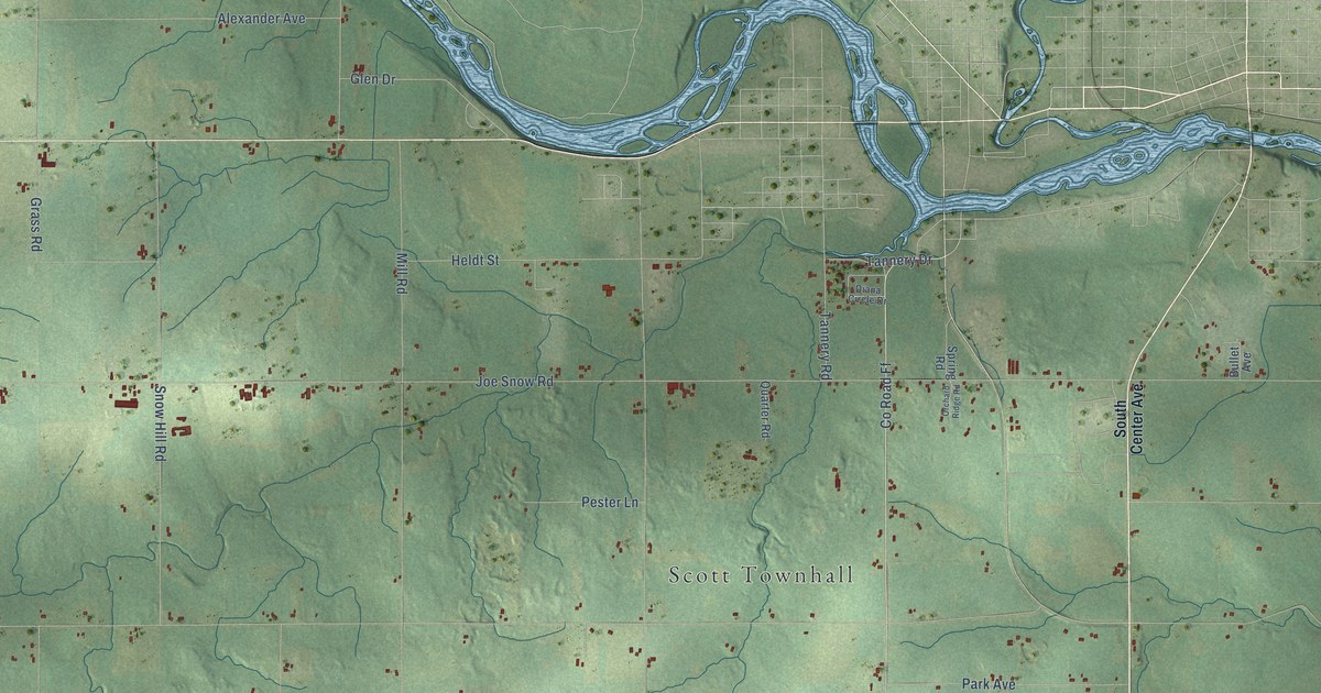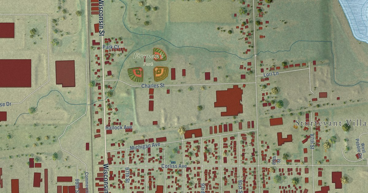
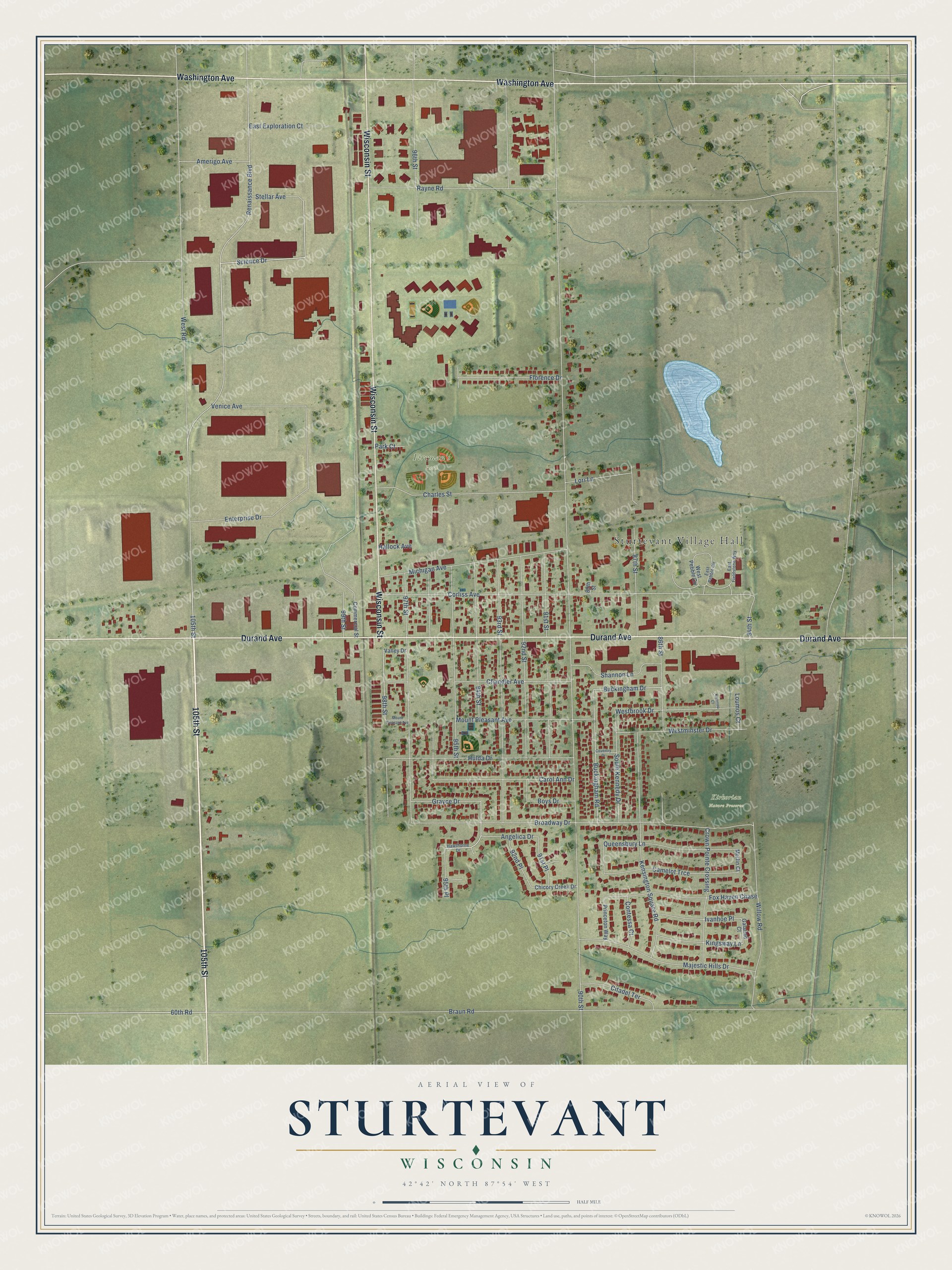
This beautifully detailed map of Sturtevant, Wisconsin was created in 2026 using aerial imagery combined with modern topographical, census, street and landmark data. It's a modern aerial view of Sturtevant in Racine County, Wisconsin, that combines modern data with a vintage aesthetic. The roads feature printed names, and if you look closely you can find your exact house accurately shown in its correct location.
Explore an aerial view of Sturtevant, Wisconsin
On this map you'll find Sturtevant Village Hall, Fireman's Park, Kirkorian Nature Preserve, 105th Street, Durand Avenue, Wisconsin Street, Washington Avenue, Science Drive, Enterprise Drive, 60th Road, 94th Street, 98th Street, and more. Each red shape is a building, so zoom in on the preview and look for yours.
Sturtevant is a village in Racine County. The Census Bureau counted 6,919 people here in 2020. The map prints the town name in its title panel, with the coordinates below it.
Take a closer look at the Sturtevant map
Names on this map
These names are printed on this map.
Places: Sturtevant Village Hall, Fireman's Park and Kirkorian Nature Preserve.
Streets and roads: 105th Street, Durand Avenue, Wisconsin Street, Washington Avenue, Science Drive, Enterprise Drive, 60th Road, 94th Street, 98th Street, 90th Street, Braun Road, West Road.
More street names, A to Z
84th Street, 86th Street, 87th Street, 89th Street, 91st Place, 91st Street, 92nd Place, 92nd Street, 93rd Street, 95th Place, 95th Street, 96th Street, 97th Street, 99th Street, Amerigo Avenue, Angelica Drive, Boys Drive, Broadway Drive, Buckingham Drive, Buckingham Road, Camelot Trce, Carol Ann Drive, Chandler Avenue, Charles Street, Chicory Creek Drive, Citadel Terrace, Commercial Street, Contessa Court, Corliss Avenue, Coventry Drive, Crown Pointe Crossing, East Exploration Court, East Fieldstone Way, East Pebble Circle, Florence Drive, Fox Haven Chase, Galahad Court, Grayce Drive, Hallock Avenue, Hawthorne Drive, Hulda Drive, Ivanhoe Place, Karnopp Court, Kensington Square Road, Kingsway Lane, Lori Lane, Loumos Court, Majestic Hills Drive, Merlin Court, Michigan Avenue, Mount Pleasant Avenue, Park Court, Princeton Way, Queensbury Lane, Rayne Road, Renaissance Boulevard, Shannon Lane, South Kennedy Drive, Stellar Avenue, Valley Drive, Venice Avenue, Westbrook Drive, Westminster Drive, West Pebble Circle, Willow Road.
Created by KNOWOL in 2026. The buildings are small red shapes, the roads carry their printed names, and shaded relief shows the shape of the land. The title panel reads "AERIAL VIEW OF STURTEVANT, WISCONSIN" with 42°42' NORTH 87°54' WEST.
It looks right in a kitchen, an office or a den, and it's a gift for anyone who grew up in Sturtevant or moved away. Open the preview and find your street. See sizes and frames for the Sturtevant map.