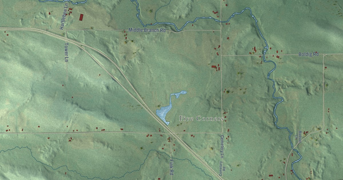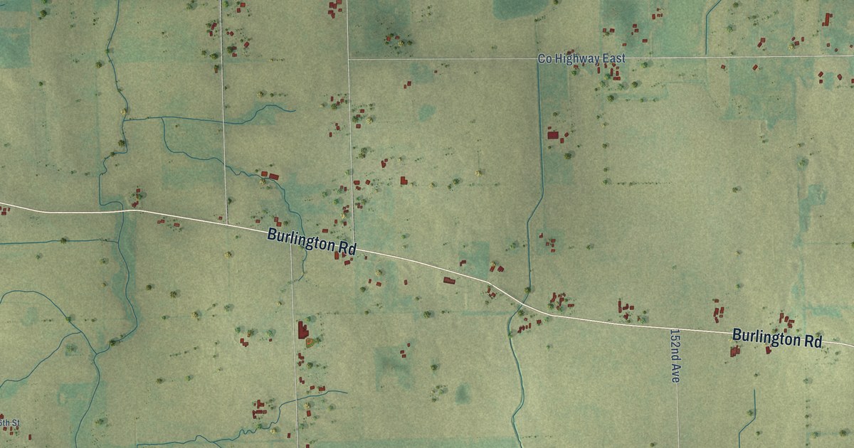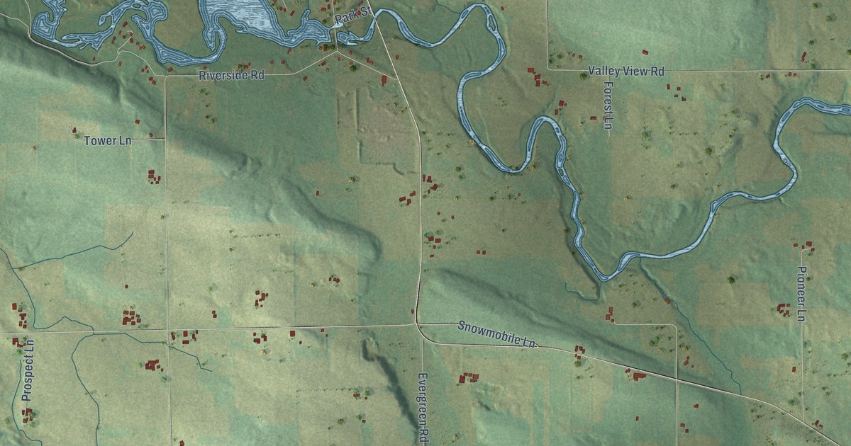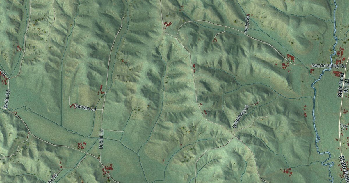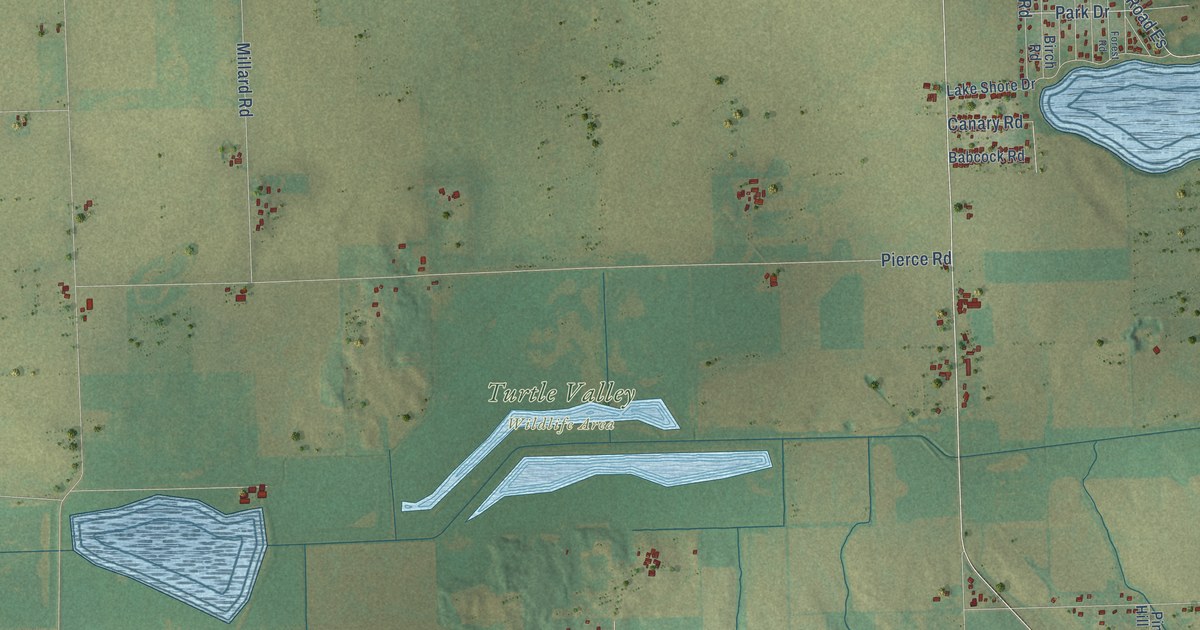
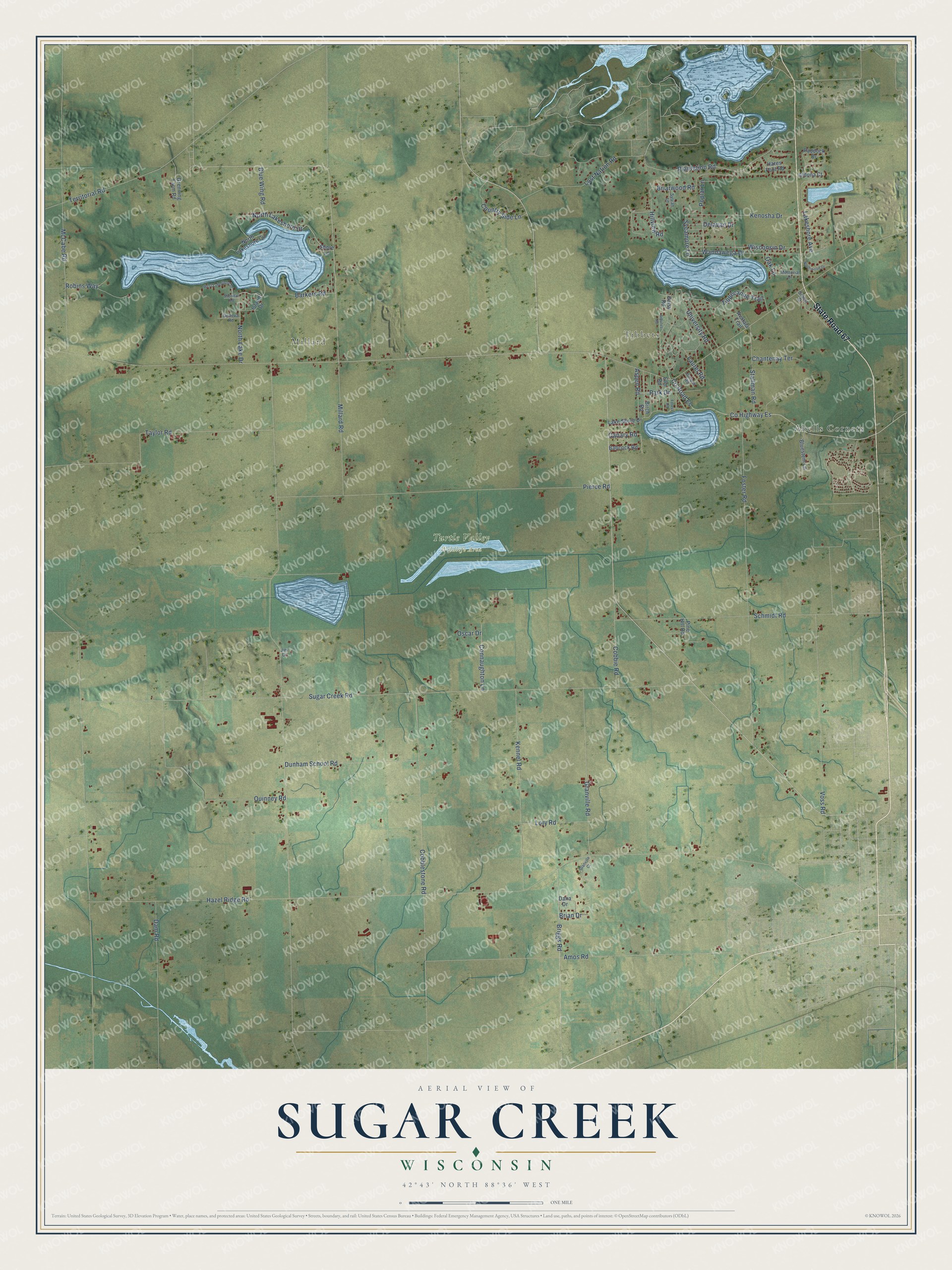
This beautifully detailed map of Sugar Creek, Wisconsin was created in 2026 using aerial imagery combined with modern topographical, census, street and landmark data. It's a modern aerial view of Sugar Creek in Walworth County, Wisconsin, that combines modern data with a vintage aesthetic. The roads feature printed names, and if you look closely you can find your exact house accurately shown in its correct location.
Explore an aerial view of Sugar Creek, Wisconsin
On this map you'll find Tibbets, Millard, Turtle Valley Wildlife Area, Abells Corners, State Road 67, North Lakeshore Drive, Sycamore Lane, Hazel Ridge Road, Sugar Creek Road, Pierce Road, Foster Road, Amos Road, and more. Each red shape is a building, so zoom in on the preview and look for yours.
Every town has a first chapter, and Sugar Creek is no exception. The Walworth County History puts it this way: "The first town meeting was held at the house of Asa Blood, who lived in what is now the town of Sugar Creek, on the bank of Silver Lake."
Sugar Creek is a town in Walworth County. The Census Bureau counted 3,902 people here in 2020.
Take a closer look at the Sugar Creek map
Names on this map
These names are printed on this map.
Places: Tibbets, Millard, Turtle Valley Wildlife Area and Abells Corners.
Streets and roads: State Road 67, North Lakeshore Drive, Sycamore Lane, Hazel Ridge Road, Sugar Creek Road, Pierce Road, Foster Road, Amos Road, Cobblestone Road, Schmidt Road, Taylor Road, County Highway Es.
More street names, A to Z
Aldona Court, Arbutus Road, Aspen Road, Avataia Trail, Babcock Road, Barkers Road, Birch Road, Bluestem Lane, Blue Wing Road, Brian Drive, Briarwood Road, Briggs Road, Canary Road, Chantenay Terrace, Cobbie Road, Connaughton Lane, Country Side Lane, County Road Es, Daisy Road, Dam Road, Dana Drive, Delavan Drive, Dunham School Road, Elm Road, Forest Road, Geneva Road, Gilbert Street, Granville Court, Granville Road, Grenning Farm Road, Hares Foot Road, Hillview Road, Island Drive, Jim Drive, Juniper Road, Kennel Road, Kenosha Drive, Lakeshore Avenue, Lake Shore Drive, Laurel Road, Lory Road, Lost Nation Road, McCabe Road, Memorial Drive, Millard Road, North Lake Drive, North Lakeshore Circle, Northwood Drive, Oak Lane, Oscar Drive, Paddock Drive, Park Drive, Pine Hill Road, Plantation Road, Poplar Lane, Quinney Road, Robins Way, Sheridan Road, Shore Lane, Stallman Road, Sylvan Lane, Territorial Road, Tippecanoe Trail, University Road, Voss Road, Wandawega Drive, West Lakeshore Drive, Wisconsin Drive.
Created by KNOWOL in 2026. The buildings are small red shapes, the roads carry their printed names, and shaded relief shows the shape of the land. The title panel reads "AERIAL VIEW OF SUGAR CREEK, WISCONSIN" with 42°43' NORTH 88°36' WEST.
Hang it in the hallway, the office or the cabin, or give it to someone who left Sugar Creek and still calls it home. Open the preview and look for a street you know. See sizes and frames for the Sugar Creek map.