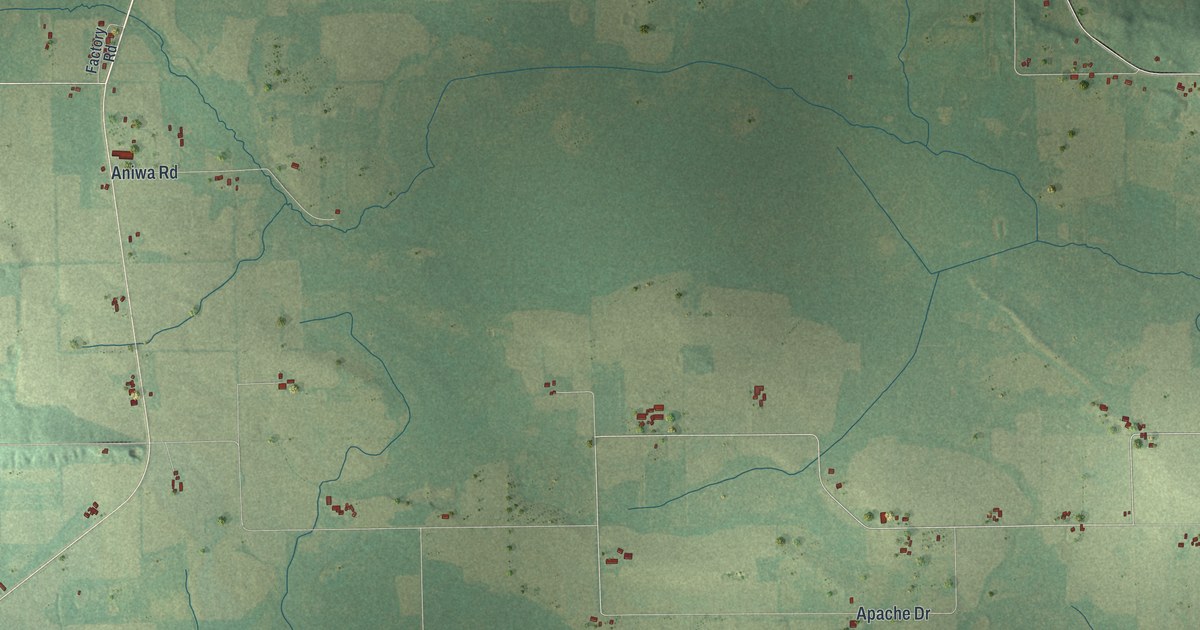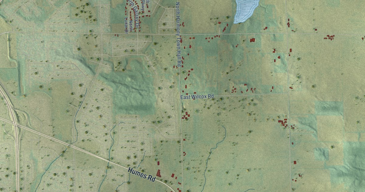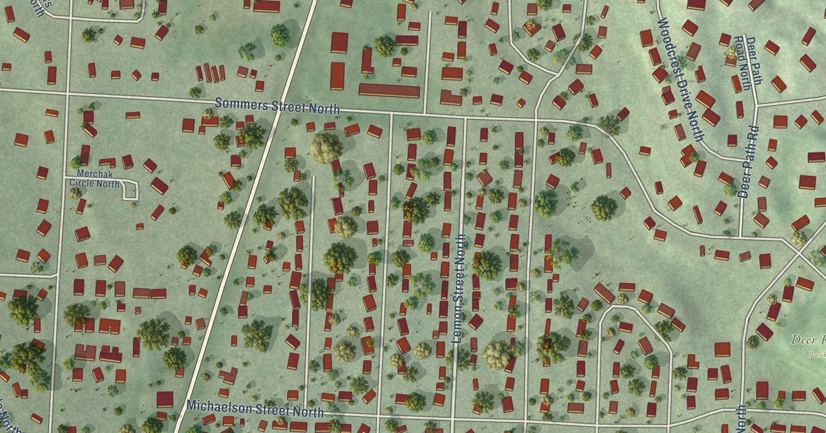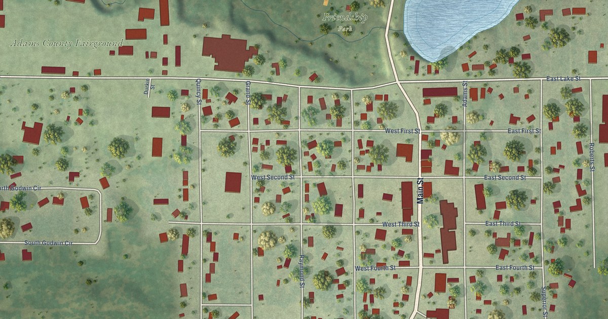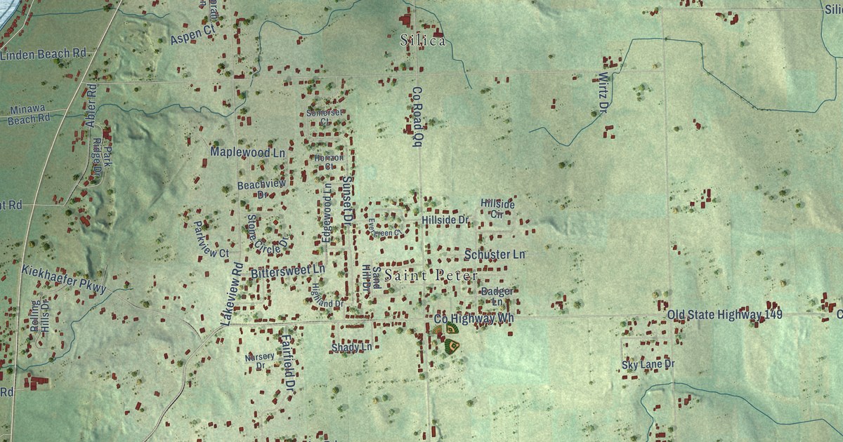
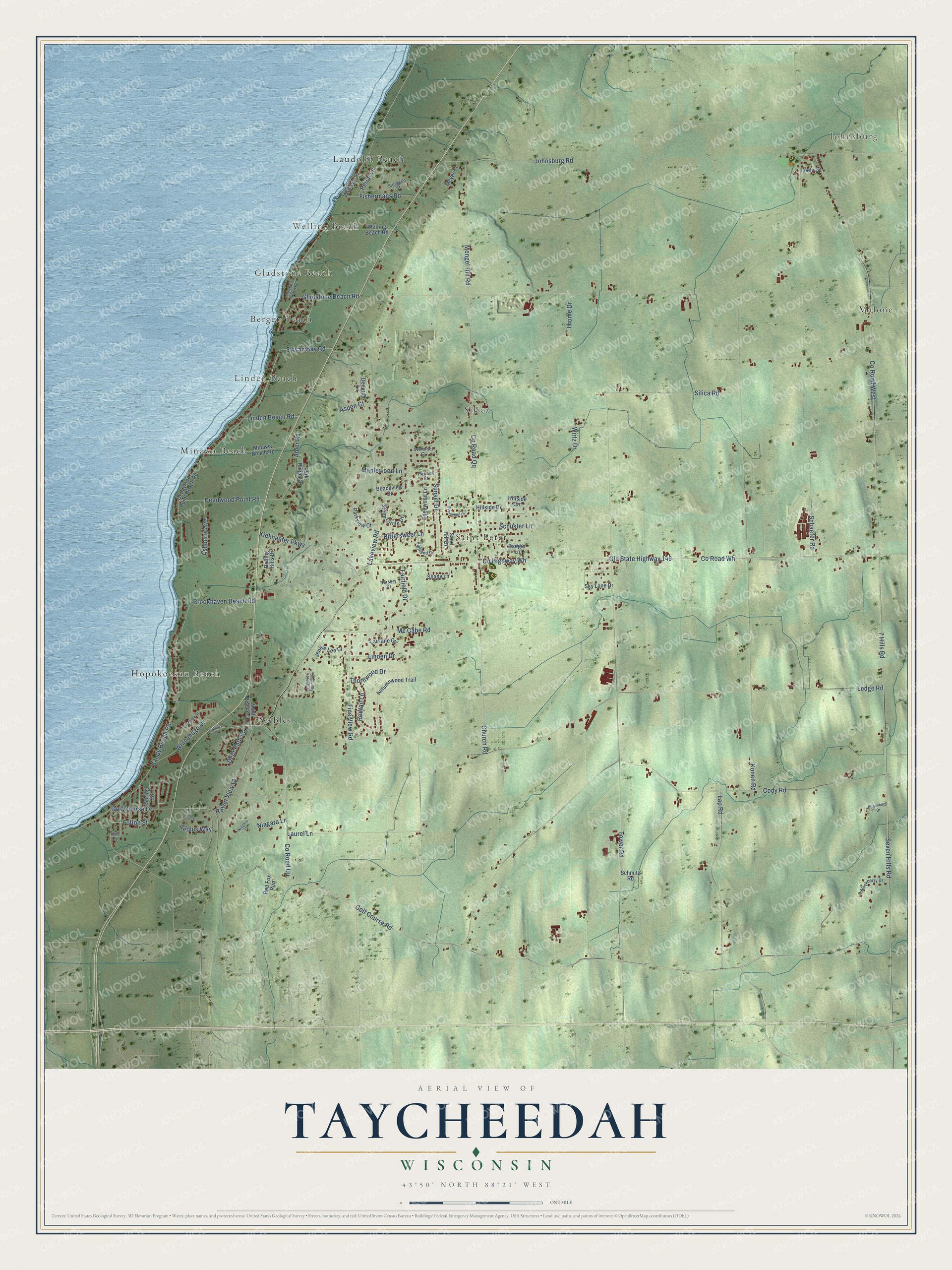
This beautifully detailed map of Taycheedah, Wisconsin was created in 2026 using aerial imagery combined with modern topographical, census, street and landmark data. It's a modern aerial view of Taycheedah in Fond du Lac County, Wisconsin, that combines modern data with a vintage aesthetic. The roads feature printed names, and if you look closely you can find your exact house accurately shown in its correct location.
Explore an aerial view of Taycheedah, Wisconsin
On this map you'll find Johnsburg, Welling Beach, Gladstone Beach, Bergen Beach, Hopokoekau Beach, Laudolff Beach, Linden Beach, Malone, Minawa Beach, Peebles, Saint Peter, Silica, and more. Each red shape is a building, so zoom in on the preview and look for yours.
Here is a piece of Taycheedah history, in the words of the record. The History of Fond du Lac County puts it this way: "The first schoolhouse was built early in 1842, in what is now the village of Taycheedah. In May, 1845, the Baptists organized a church society, and in July of the same year the Congregationalists organized a society under Rev. Stephen Peet."
Taycheedah is a town in Fond du Lac County. The Census Bureau counted 4,554 people here in 2020.
Take a closer look at the Taycheedah map
Names on this map
These names are printed on this map.
Places: Johnsburg, Welling Beach, Gladstone Beach, Bergen Beach, Hopokoekau Beach, Laudolff Beach, Linden Beach, Malone, Minawa Beach, Peebles, Saint Peter and Silica.
Streets and roads: Seven Hills Road, 7 Hills Road, Lap Road, Golf Course Drive, Niagara Lane, County Road Qq, County Road Wh, Old State Highway 149, Silica Road, Ledge Road, County Highway Wh, Tower Road.
More street names, A to Z
Abler Road, Aeolus Way, Ashberry Avenue, Aspen Court, Autumnwood Trail, Badger Lane, Beachview Drive, Bergens Beach Road, Birschbach Drive, Bittersweet Lane, Blackberry Drive, Boreas Drive, Brookhaven Beach Road, Church Road, Cody Road, County Road Uu, County Road West, Deadwood Point Beach Road, Deadwood Point Road, Decorah Lane, Deer Path Road, Edgewood Lane, Evergreen Court, Fairfield Drive, Fairlane Circle, Fine View Road, Fishermans Road, Fulton Street, Gladstone Beach Road, Golf Course Road, Highland Drive, Hillside Circle, Hillside Drive, Horizon Court, Jennie Lee Court, Johnsburg Road, Kiekhaefer Parkway, Konen Road, Lakepark Drive, Lakeview Road, Laurel Lane, Ledgeview Springs Drive, Linden Beach Road, Linden Drive, Loehr Street, Main Street, Maplewood Lane, Mc Cabe Road, Mengel Hill Road, Meyer Court, Minawa Beach Road, Niagara Court, North Peebles Lane, Nursery Drive, Park Ridge Drive, Parkview Court, Peebles Court, Perch Lane, Raven View Court, Red Fox Run, Redtail Lane, Rolling Hills Drive, Sand Hill Drive, Sandy Beach Road, Schaefer Road, Schmitz Road, Schuster Lane, Shady Lane, Sky Lane Drive, Somerset Court, Spring Street, Stone Circle Drive, Sturgeon Street, Sunset Drive, Sylvan Bay Road, Thome Drive, Thornwood Drive, Welling Beach Road, Willow Lane, Winnebago Drive, Wirtz Drive.
Created by KNOWOL in 2026. The buildings are small red shapes, the roads carry their printed names, and shaded relief shows the shape of the land. The title panel reads "AERIAL VIEW OF TAYCHEEDAH, WISCONSIN" with 43°50' NORTH 88°21' WEST.
It suits a den, a classroom or a front hall, and it makes a gift for anyone with Taycheedah roots. Open the preview and find the block you know. See sizes and frames for the Taycheedah map.