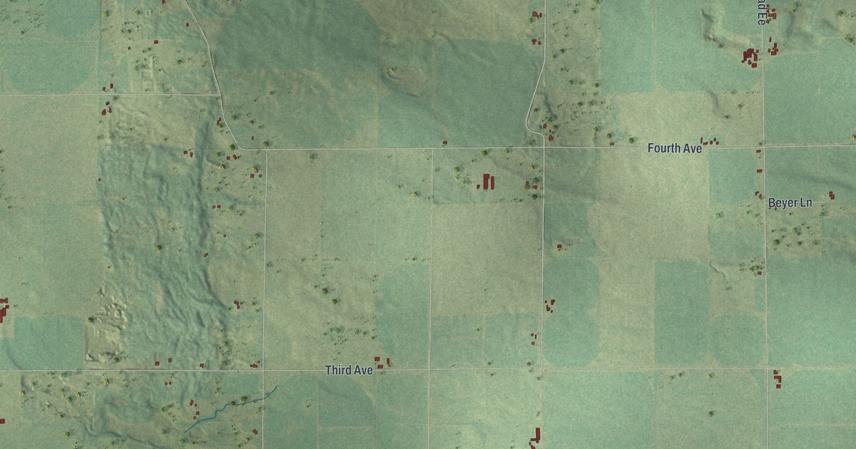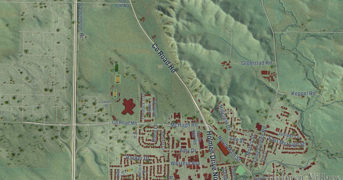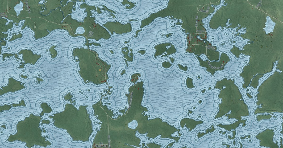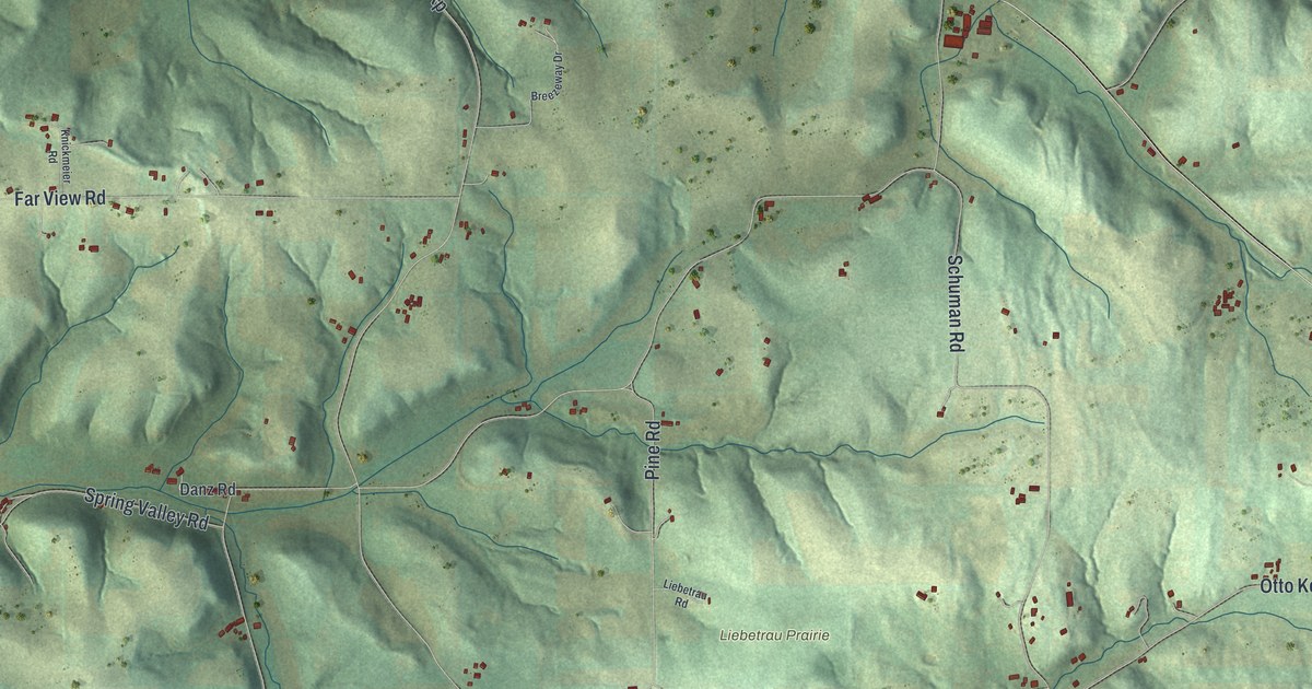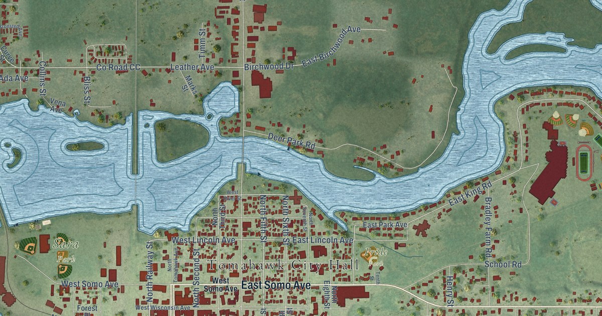
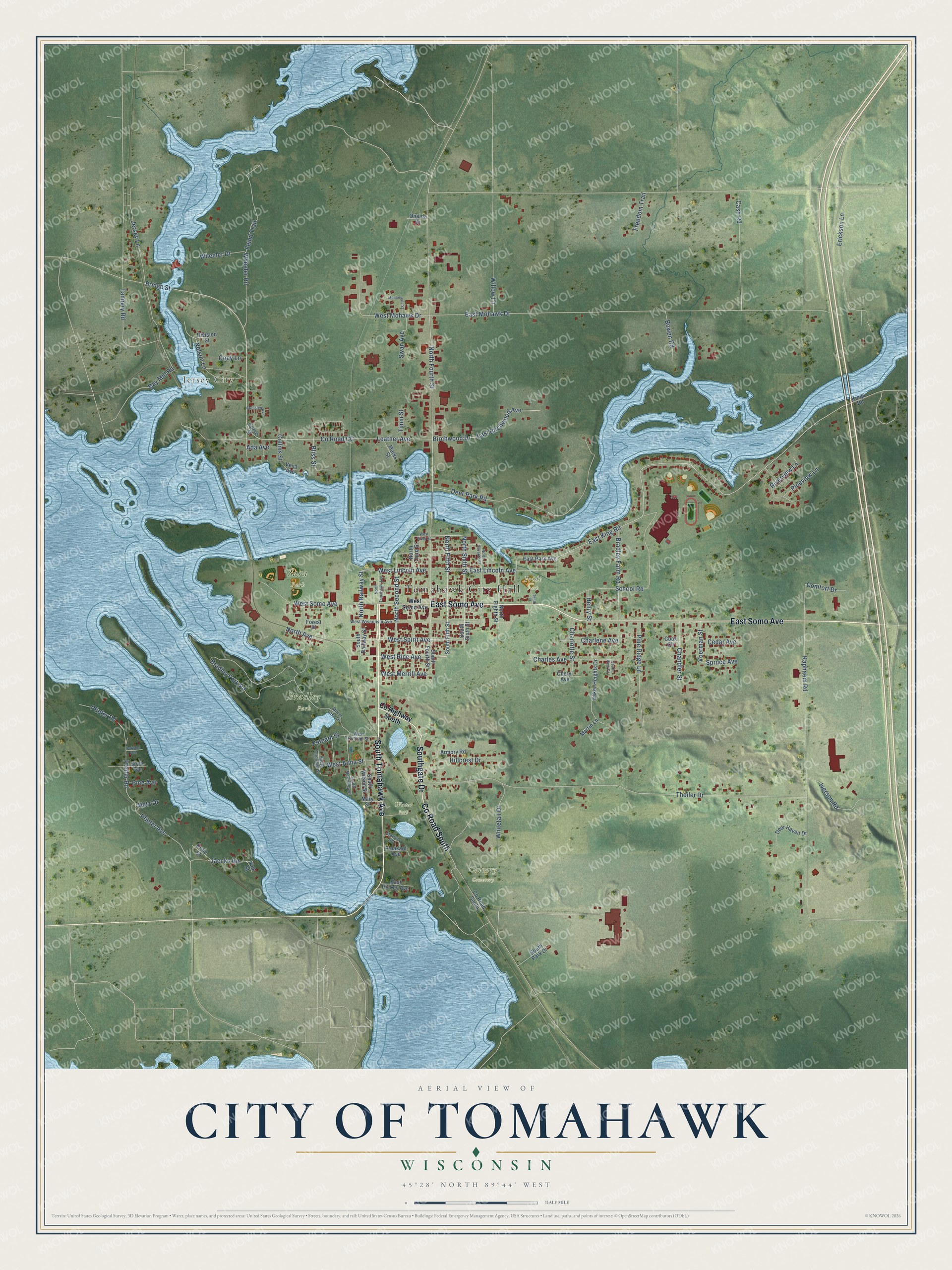
This beautifully detailed map of Tomahawk, Wisconsin was created in 2026 using aerial imagery combined with modern topographical, census, street and landmark data. It's a modern aerial view of Tomahawk in Lincoln County, Wisconsin, that combines modern data with a vintage aesthetic. The roads feature printed names, and if you look closely you can find your exact house accurately shown in its correct location.
Explore an aerial view of Tomahawk, Wisconsin
On this map you'll find Tomahawk City Hall, Jersey City, Bradley Park, Calvary Cemetery, Sara Park, Pride Park, Water Park, Co Road South, East Somo Avenue, South Tomahawk Avenue, Southgate Drive, North Fifth Street, and more. Each red shape is a building, so zoom in on the preview and look for yours.
Tomahawk has a story worth telling. The Tomahawk Regional Chamber of Commerce puts it this way: "Angus Buie, who later became the first mayor of the town, erected the community’s first log building in October 1887."
Tomahawk is a city in Lincoln County. The Census Bureau counted 3,441 people here in 2020.
Take a closer look at the Tomahawk map
Names on this map
These names are printed on this map.
Places: Tomahawk City Hall, Jersey City, Bradley Park, Calvary Cemetery, Sara Park, Pride Park and Water Park.
Streets and roads: County Road South, East Somo Avenue, South Tomahawk Avenue, Southgate Drive, North Fifth Street, West Rice Avenue, North Sixth Street, North Railway Street, West Lincoln Avenue, East Lincoln Avenue, West Spirit Avenue, East King Road.
More street names, A to Z
Ada Avenue, Armory Road, Bay Mill Road, Birch Avenue, Birchwood Drive, Bliss Street, Bowen Road, Bradley Farm Road, Bradley Park Road, Bridge Street, Bronsted Avenue, Cash Road, Cedar Avenue, Chandler Street, Charlene Avenue, Charles Avenue, Charlotte Street, Cheryl Avenue, Coey Lane, Collins Street, Comfort Drive, Cook Circle, County Highway South, County Road CC, Curve Street, Deer Haven Drive, Deer Park Road, Division Street, East Birchwood Avenue, East Hickey Avenue, East Mohawk Drive, East Park Avenue, Erickson Lane, Esker Heights Drive, Feind Trail, Forest Place, Freedom Trail, Henry Street, Hillcrest Drive, Iverson Road, Jaecks Road, Jersey Lane, Kaphaem Road, Kings Road, Leather Avenue, Marks Street, Martin Lane, Mary Street, Menominee Street, Metz Drive, Mirror Lake Drive, Morren Road, Nelson Lane, North Avenue, North Eighth Street, North Fourth Street, North Second Street, North Seventh Street, North Third Street, North Tomahawk Avenue, Oakland Avenue, Oneida Drive, Pfeifer Road, Pfiefer Avenue, Pfiefer Road, Pine Avenue, Pine Ridge Lane, Pineview Lane, Pleasant Avenue, Pride Street, Putnam Street, Riverview Lane, School Road, South Coolidge Street, South Fifth Street, South Fourth Street, South McKinley Street, South Park Drive, South Railway Street, South Sixth Street, South View Drive, South Wilson Street, Spruce Avenue, Swan Avenue, Tannery Road, Tenth Street, Theiler Drive, Timm Street, Vena Avenue, Vink Street, Voerman Street, West Anna Street, West Merrill Avenue, West Mohawk Drive, West Putnam Street, West River Street, West Somo Avenue, West Wisconsin Avenue, Wheeler Drive, Wheeler Road, Whitetail Drive, Willow Lane.
Created by KNOWOL in 2026. The buildings are small red shapes, the roads carry their printed names, and shaded relief shows the shape of the land. The title panel reads "AERIAL VIEW OF CITY OF TOMAHAWK, WISCONSIN" with 45°28' NORTH 89°44' WEST.
It looks right in a kitchen, an office or a den, and it's a gift for anyone who grew up in Tomahawk or moved away. Open the preview and find your street. See sizes and frames for the Tomahawk map.