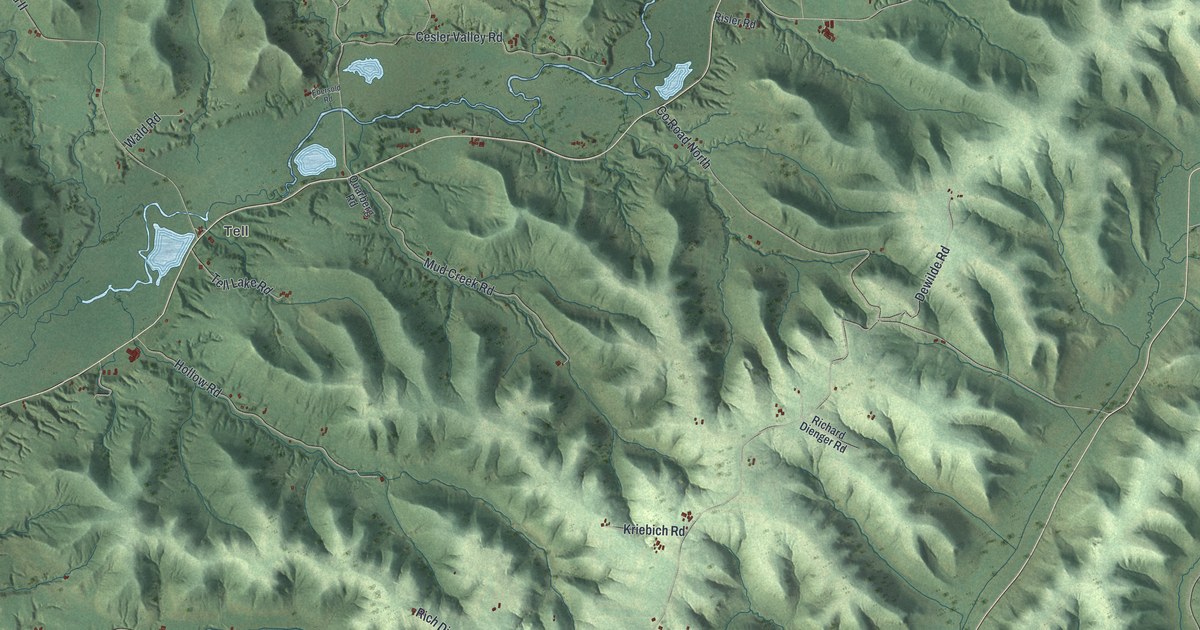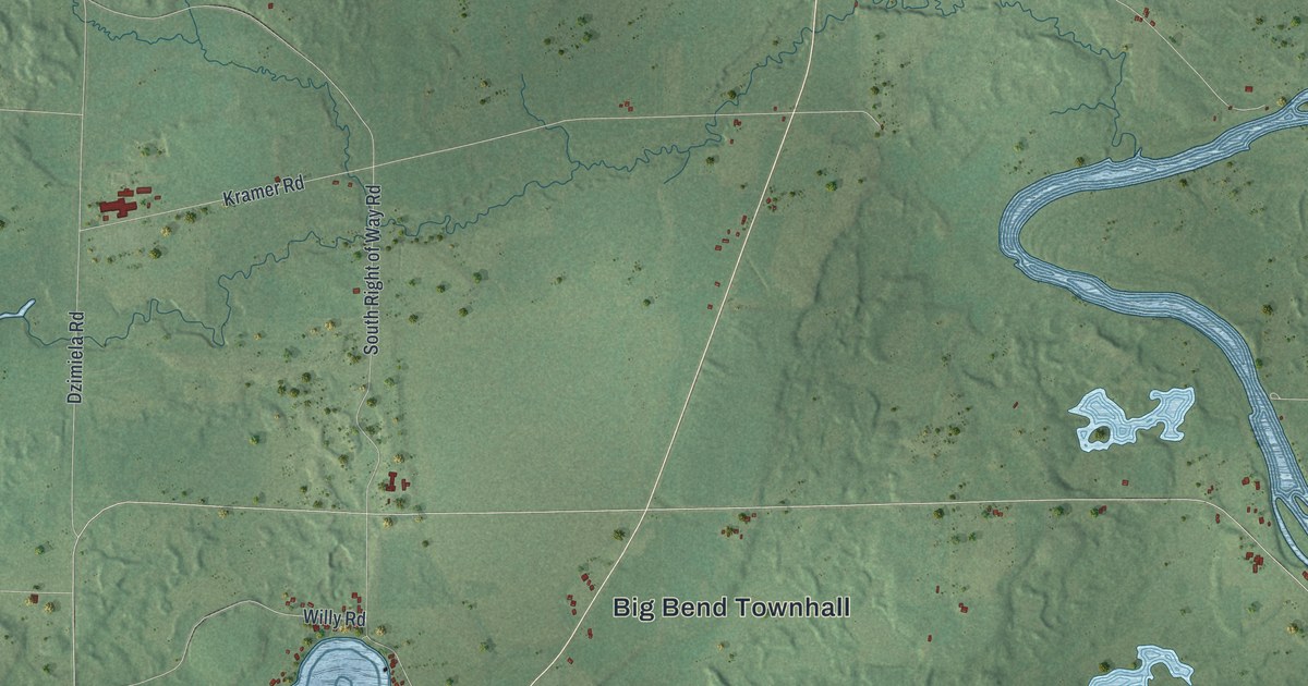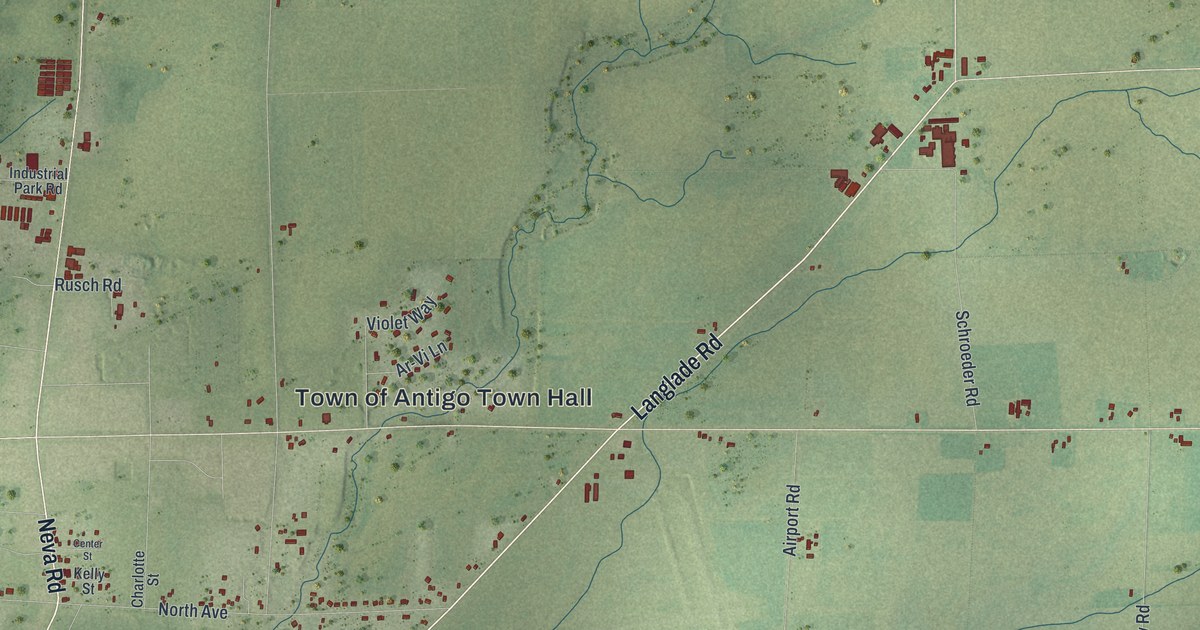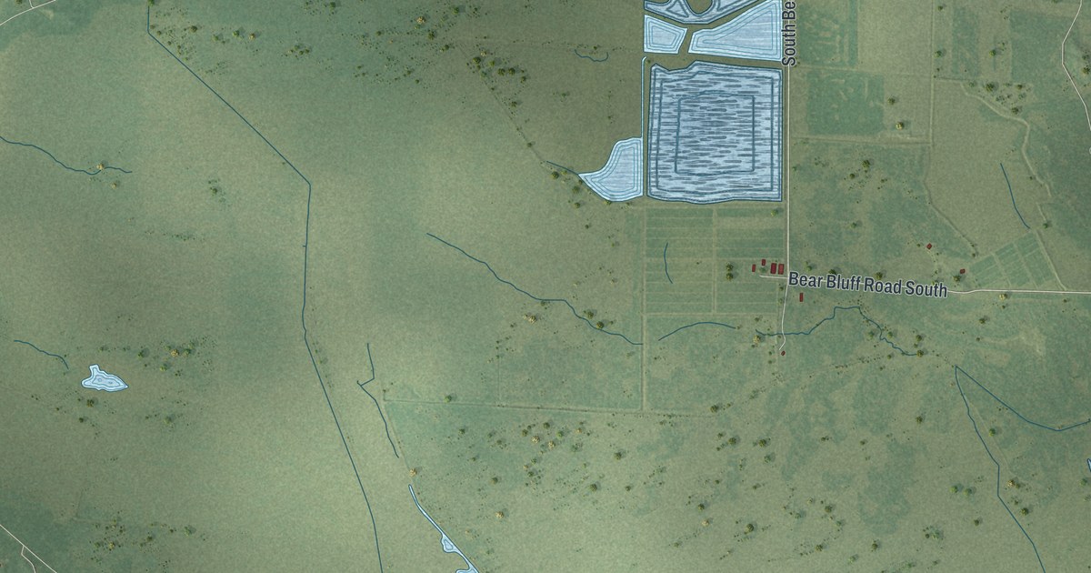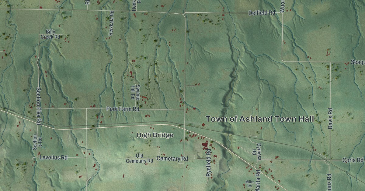
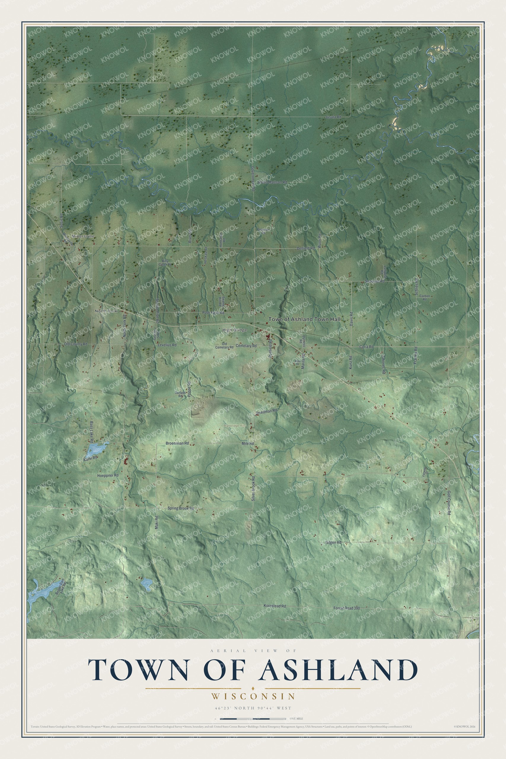
This beautifully detailed map of Ashland, Wisconsin was created in 2026 using aerial imagery combined with modern topographical, census, street and landmark data. It's a modern aerial view of Ashland in Ashland County, Wisconsin, that combines modern data with a vintage aesthetic. The roads feature printed names, and if you look closely you can find your exact house accurately shown in its correct location.
Explore an aerial view of Ashland, Wisconsin
On this map you'll find Town of Ashland Town Hall, Minersville, North York, High Bridge, Highbridge Hills, Seaquist Road, Davis Road, Delfield Road, Coria Road, Broeniman Road, Spring Brook Road, Sosin Road, and more. Each red shape is a building, so zoom in on the preview and look for yours.
Ashland is a town in Ashland County. The Census Bureau counted 589 people here in 2020. The map prints the town name in its title panel, with the coordinates below it.
Take a closer look at the Ashland map
Names on this map
These names are printed on this map.
Places: Town of Ashland Town Hall, Minersville, North York, High Bridge and Highbridge Hills.
Streets and roads: Seaquist Road, Davis Road, Delfield Road, Coria Road, Broeniman Road, Spring Brook Road, Sosin Road, North York Road, Forest Road 390, Kornstead Road, Golf Course Road, Bass Lake Road.
More street names, A to Z
Albert Mattson Road, Beaver Dam Lake Road, Billy Creek Road, Carbon Road, Cemetary Road, Dyrness Road, Fairway Drive, Frankie Road, Gilgen Road, Government Road, Heiskala Road, Hoeppner Road, Honkanen Road, Jusula Road, Kunz Road, Kurki Road, Levelius Road, Lunquist Road, Maki Road, Marita Road, Mile Road, Miller Road, Minersville Road, Old Cemetary Road, Old County Road, Peterson Road, Poor Farm Road, Poppe Road, River Road, Ryefield Road, Schlies Road, Section 5 Road, Section Five Road, Silver Brook Road, Surfass Road, Swante Hill Road, Swedman Road, Wuori Road, Zakovec Road.
Created by KNOWOL in 2026. The buildings are small red shapes, the roads carry their printed names, and shaded relief shows the shape of the land. The title panel reads "AERIAL VIEW OF TOWN OF ASHLAND WISCONSIN" with 46°23' NORTH 90°44' WEST.
It suits a den, a classroom or a front hall, and it makes a gift for anyone with Ashland roots. Open the preview and find the block you know. See sizes and frames for the Town of Ashland map.