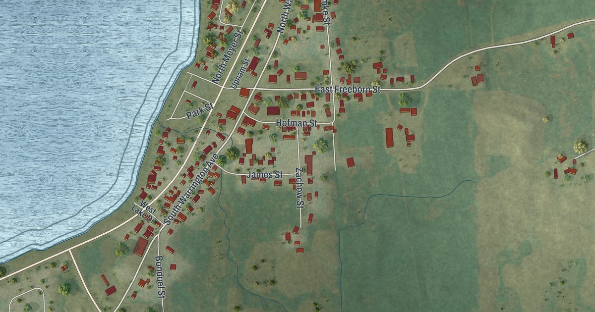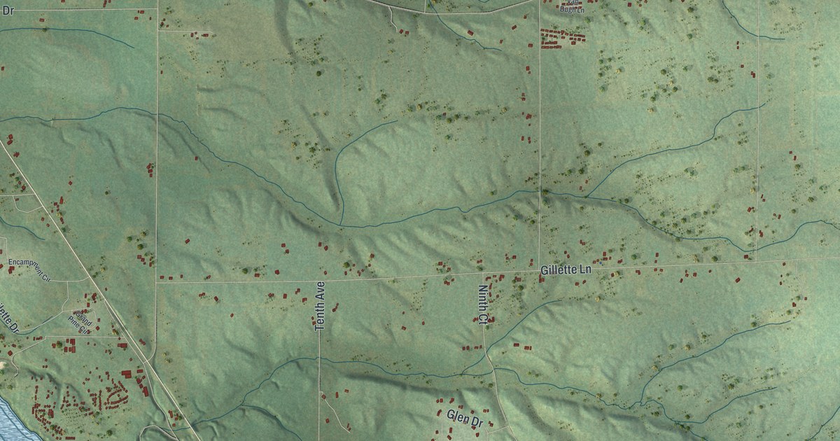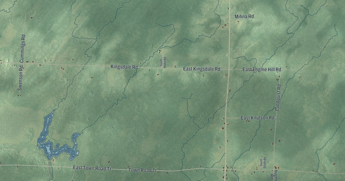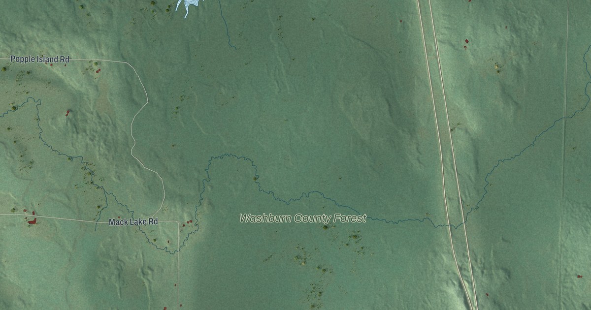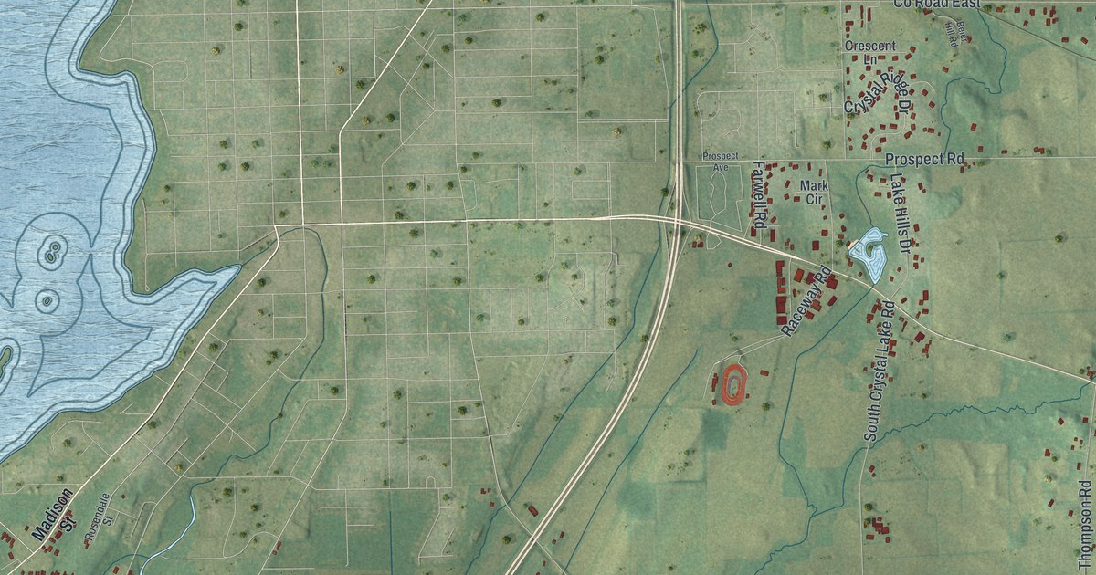
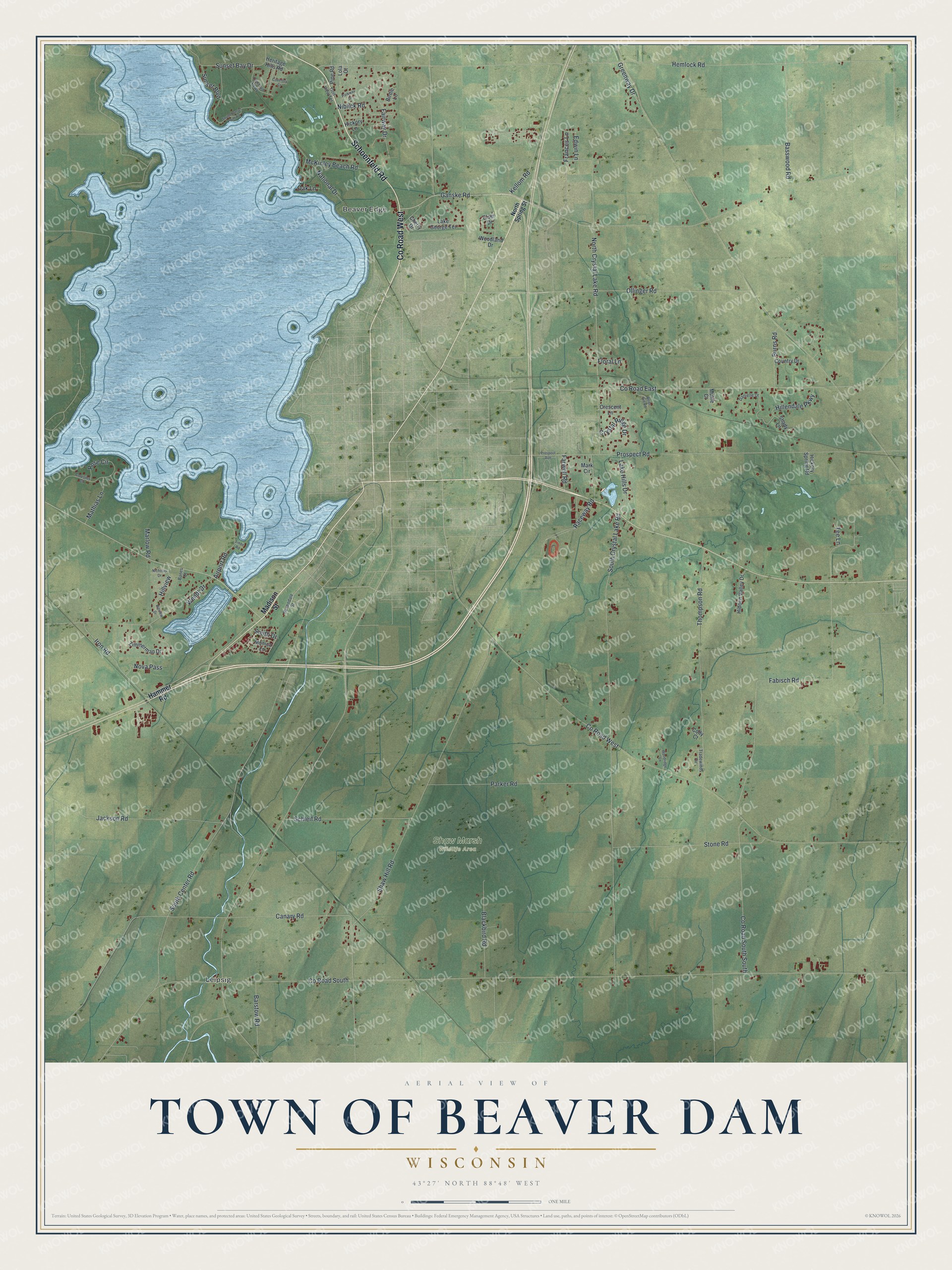
This beautifully detailed map of Beaver Dam, Wisconsin was created in 2026 using aerial imagery combined with modern topographical, census, street and landmark data. It's a modern aerial view of Beaver Dam in Dodge County, Wisconsin, that combines modern data with a vintage aesthetic. The roads feature printed names, and if you look closely you can find your exact house accurately shown in its correct location.
Explore an aerial view of Beaver Dam, Wisconsin
On this map you'll find Leipsig, Beaver Edge, Shaw Marsh Wildlife Area, Co Road West, Schoenfeld Road, Ganske Road, Frances Lane, Crystal Ridge Drive, Hillview, Co Road South, South Crystal Lake Road, Shaw Hill Road, and more. Each red shape is a building, so zoom in on the preview and look for yours.
Beaver Dam is a town in Dodge County. The Census Bureau counted 4,062 people here in 2020. The map prints the town name in its title panel, with the coordinates below it.
Take a closer look at the Beaver Dam map
Names on this map
These names are printed on this map.
Places: Leipsig, Beaver Edge and Shaw Marsh Wildlife Area.
Streets and roads: County Road West, Schoenfeld Road, Ganske Road, Frances Lane, Crystal Ridge Drive, Hillview, County Road South, South Crystal Lake Road, Shaw Hill Road, Hemlock Road, Fabisch Road, South Center Road.
More street names, A to Z
Airport Road, Banes Court, Barstow Road, Basswood Road, Beier Hill Road, Birdie Lane, Blackbird Road, Burns Road, Canary Road, Cherry Drive, Cody Court, Concord Parkway, Country Drive, County Road East, County Road South South, Cousins Court, Coventry Court, Crescent Lane, Danielle Drive, Edwin Lane, Elser Drive, Fairway Drive, Farwell Road, Floral Lane, Golf View Terrace, Greenway Drive, Hammer Road, Heritage Hills Road, Hickory Lane, Hickory Spring Road, Hidden Valley Drive, Hillendale Parkway, Hillview Drive, Iron Road, Jackson Road, Kellom Road, Lake George Terrace, Lake Hills Drive, Linde Road, Lola Court, Madison Street, Mark Circle, Marlow Road, Mathias Lane, McKinley Beach Road, Monica Lane, Muhle Court, National Drive, Niblick Road, Nicholas Drive, North Crystal Lake Road, North Spring Street, Nova Pass, Oak Lane, Ollinger Road, Parker Road, Parkway Drive, Pine Road, Prospect Avenue, Prospect Road, Raceway Road, Rose Circle, Rosendale Street, Schleif Road, Shady Lane, Smith Drive, South Sunset Point Road, Stone Road, Sunset Bay Drive, Sunset Boulevard, Tee Lane, Thompson Road, Tradewinds Circle, Wendt Drive, Woodland Drive, Woodridge Lane, Zimmerman Drive.
Created by KNOWOL in 2026. The buildings are small red shapes, the roads carry their printed names, and shaded relief shows the shape of the land. The title panel reads "AERIAL VIEW OF TOWN OF BEAVER DAM WISCONSIN" with 43°27' NORTH 88°48' WEST.
It looks right in a kitchen, an office or a den, and it's a gift for anyone who grew up in Beaver Dam or moved away. Open the preview and find your street. See sizes and frames for the Town of Beaver Dam map.