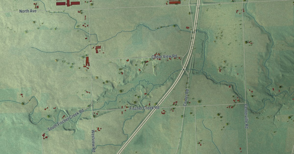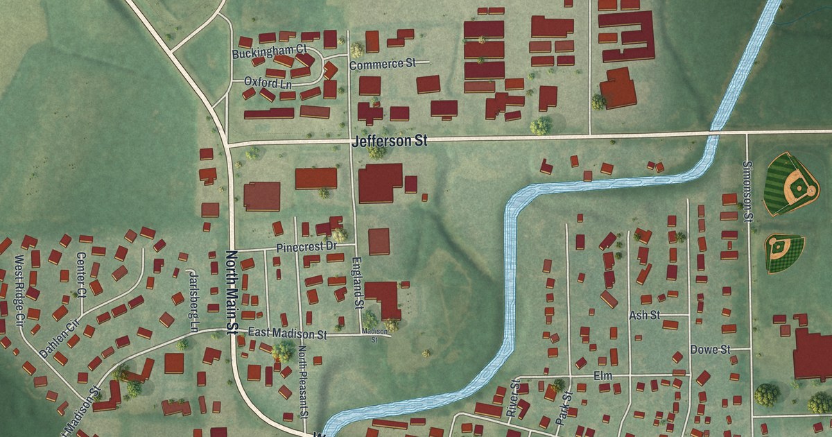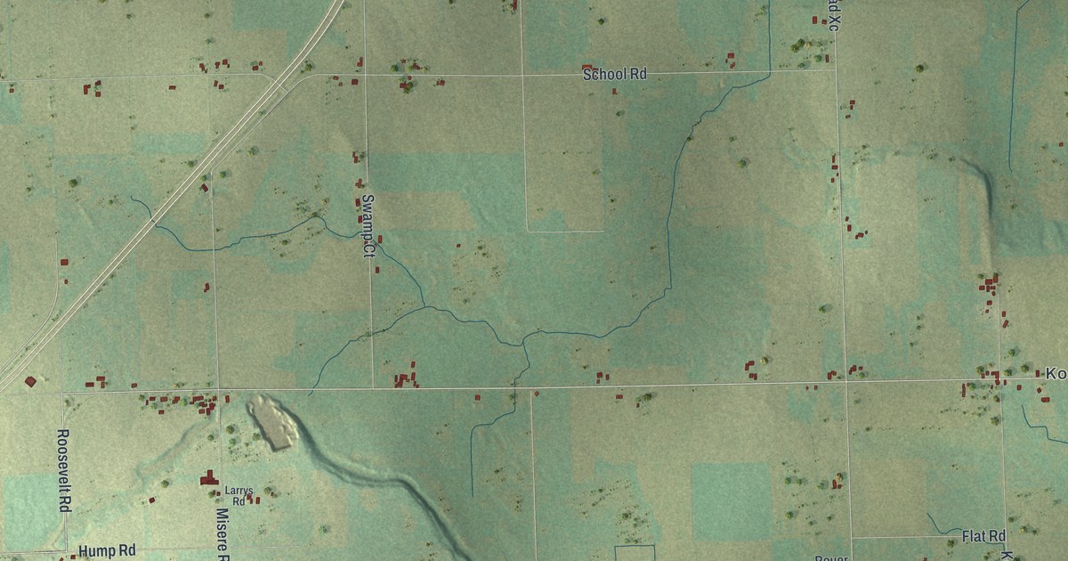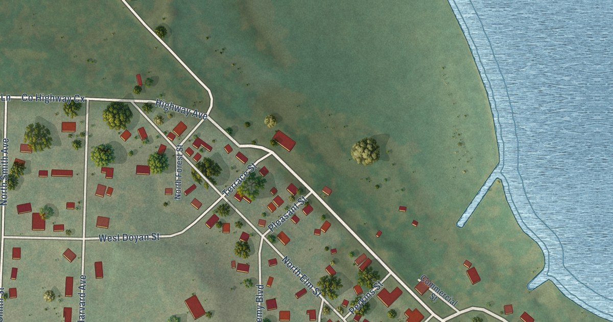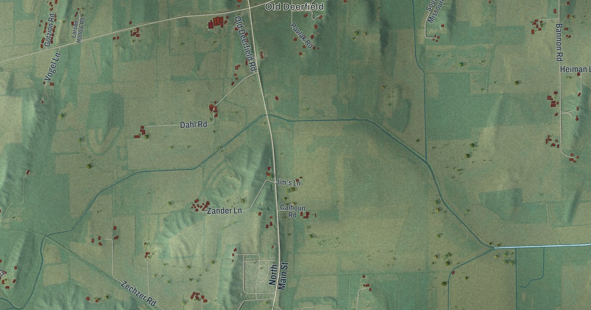
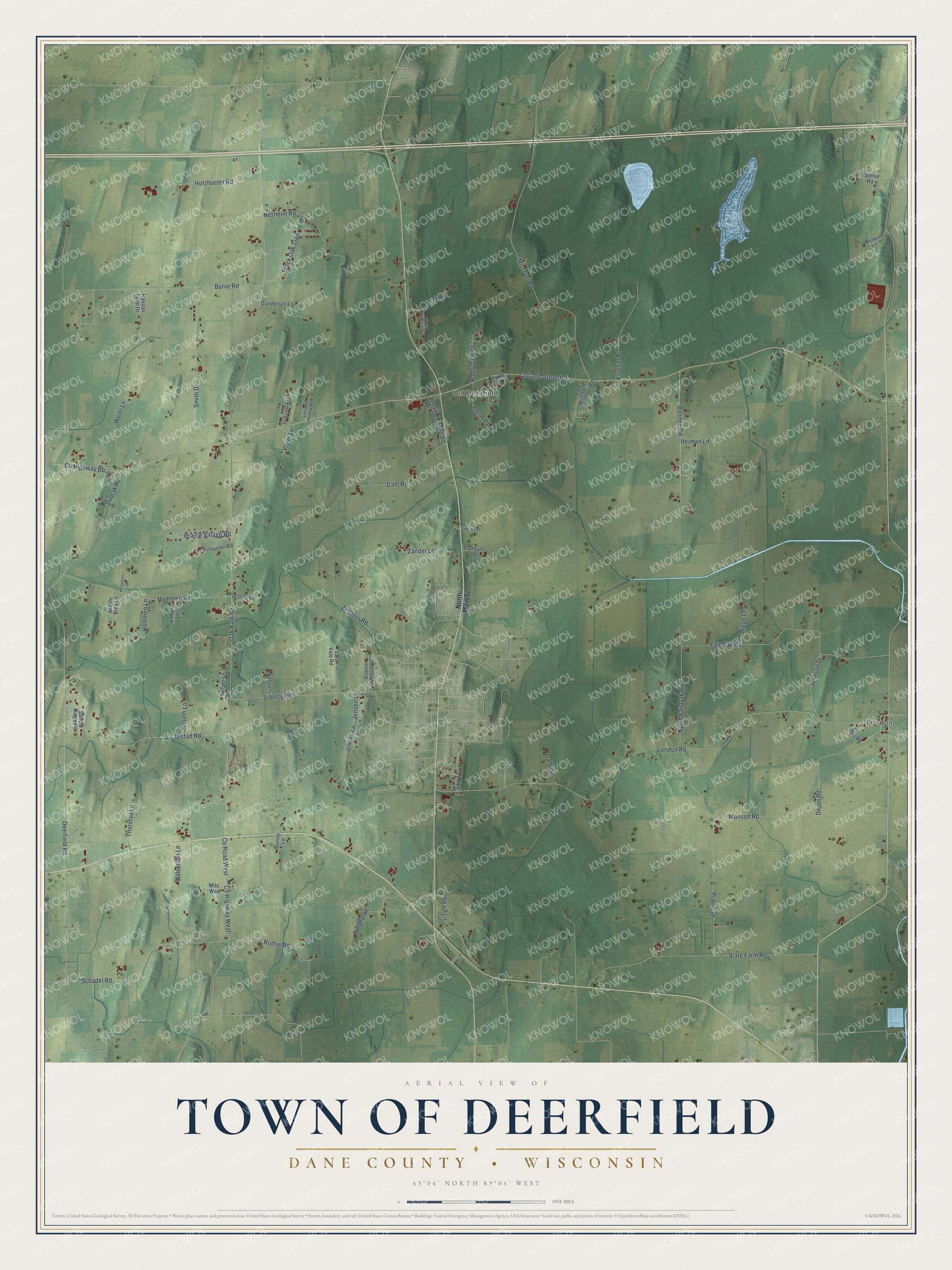
This beautifully detailed map of Deerfield, Wisconsin was created in 2026 using aerial imagery combined with modern topographical, census, street and landmark data. It's a modern aerial view of Deerfield in Dane County, Wisconsin, that combines modern data with a vintage aesthetic. The roads feature printed names, and if you look closely you can find your exact house accurately shown in its correct location.
Explore an aerial view of Deerfield, Wisconsin
On this map you'll find London, Old Deerfield, Depot Road, Co Highway Bb, Oak Park Road, Cottage Grove Road, London Road, Deerfield Road, Missouri Road, Burve Road, Fair Oak Road, Prairie Drive, and more. Each red shape is a building, so zoom in on the preview and look for yours.
Every town has a first chapter, and Deerfield is no exception. The Internet Archive puts it this way: "IIyer
located on section 9 ; he was the first postmaster of Deerfield postoffice,
established in 1843, and held the office for eleven years."
Deerfield is a town in Dane County. The Census Bureau counted 1,684 people here in 2020.
Take a closer look at the Deerfield map
Names on this map
These names are printed on this map.
Places: London and Old Deerfield.
Streets and roads: Depot Road, County Highway Bb, Oak Park Road, Cottage Grove Road, London Road, Deerfield Road, Missouri Road, Burve Road, Fair Oak Road, Prairie Drive, Schadel Road, Munson Road.
More street names, A to Z
Acorn Court, Amber Lane, Bannon Road, Black Oak Trail, Brown Lane, Calhoun Road, County Highway West, County Road West, Coyote Court, Dahl Road, Dalby Lane, Dvorak Road, Gotzion Road, Graffin Road, Gunderson Lane, Halverson Lane, Hanson Farm Drive, Heiman Lane, Holzhueter Road, Hommen Lane, Hommen Road, Jensen Lane, Jenson Lane, Jim's Lane, Johnson Drive, Julseth Lane, Kelly Lane, Kessenich Lane, Krueger Road, Larson Hollow Road, Lars Vale Road, Liberty Road, Milo Way, Nelson Lane, Nesheim Road, North Fair Oak Road, North Main Street, Nuland Road, Old Deerfield Road, Olstad Road, Pavlak Road, Pheasant Hill Road, Prairie Village Road, Raether Road, Riege Lane, Robert Nelson Lane, Rod & Gun Road, Rothie Road, Saddle Bred Lane, Saddle Ridge Road, Schlueter Road, Shaul Lane, Sky Terrace, Smith Drive, South Missouri Road, Spur Road, State Farm Road, Sunny Lane, Thorstad Lane, Vogel Lane, Weier Lane, Zander Lane, Zechzer Road.
Created by KNOWOL in 2026. The buildings are small red shapes, the roads carry their printed names, and shaded relief shows the shape of the land. The title panel reads "AERIAL VIEW OF TOWN OF DEERFIELD, DANE COUNTY • WISCONSIN" with 43°04' NORTH 89°04' WEST.
Hang it in the hallway, the office or the cabin, or give it to someone who left Deerfield and still calls it home. Open the preview and look for a street you know. See sizes and frames for the Town of Deerfield, Dane County map.