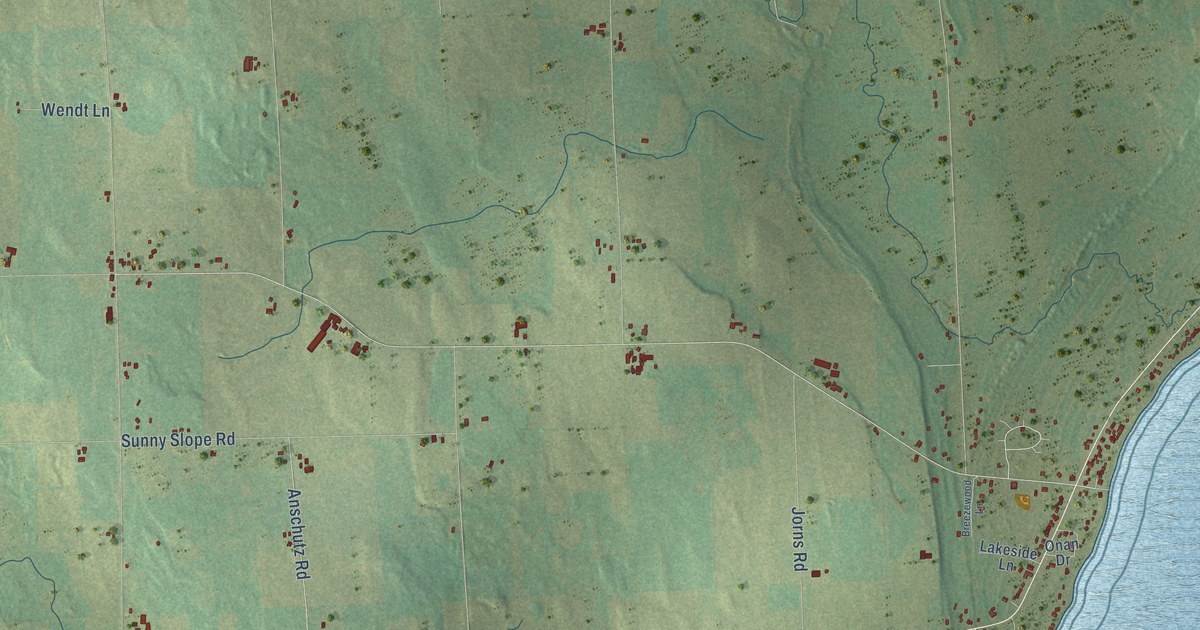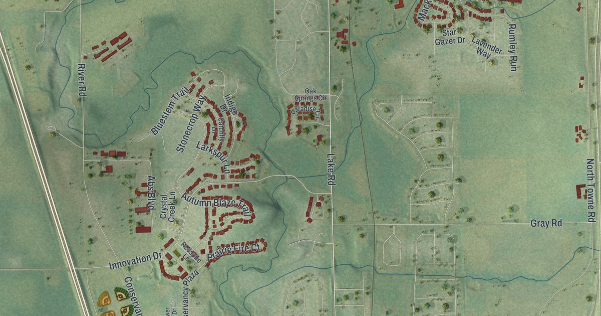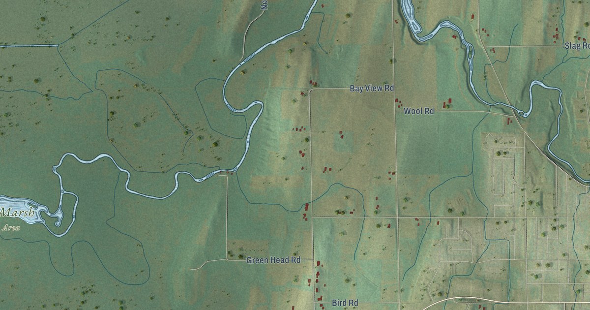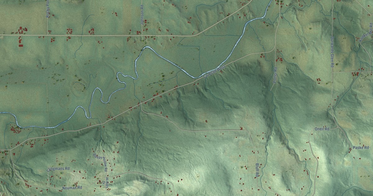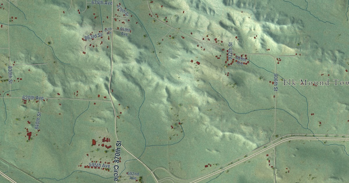
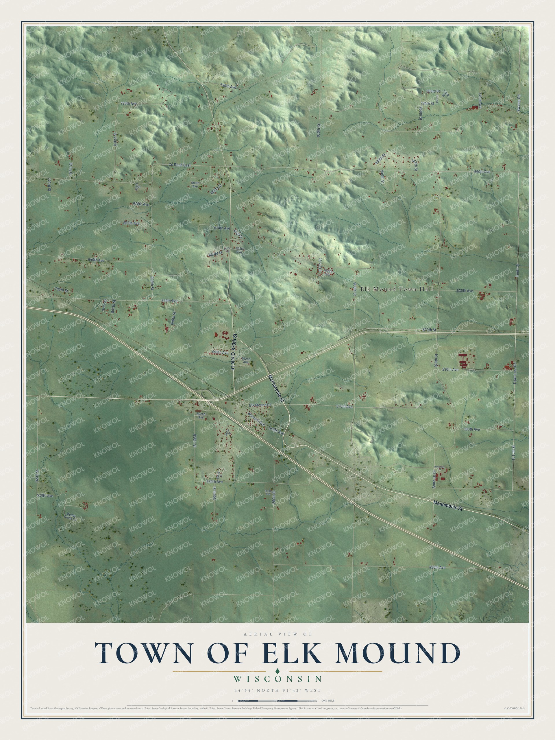
This beautifully detailed map of Elk Mound, Wisconsin was created in 2026 using aerial imagery combined with modern topographical, census, street and landmark data. It's a modern aerial view of Elk Mound in Dunn County, Wisconsin, that combines modern data with a vintage aesthetic. The roads feature printed names, and if you look closely you can find your exact house accurately shown in its correct location.
Explore an aerial view of Elk Mound, Wisconsin
On this map you'll find Elk Mound Town Hall, Menomonie Street, 870th Street, Circle Lane, 1010th Street, Tenth Street, 690th Avenue, 530th Avenue, Town Line Road, Swamp Road, 490th Avenue, 970th Street, and more. Each red shape is a building, so zoom in on the preview and look for yours.
Elk Mound has a story worth telling. The Wisconsin Historical Society puts it this way: "The congregation, initially known as the Norwegian Lutheran Church, was first started in 1859 by Reverend Lauritz Larson."
Elk Mound is a town in Dunn County. The Census Bureau counted 1,897 people here in 2020.
Take a closer look at the Elk Mound map
Names on this map
These names are printed on this map.
Places: Elk Mound Town Hall.
Streets and roads: Menomonie Street, 870th Street, Circle Lane, 1010th Street, Tenth Street, 690th Avenue, 530th Avenue, Town Line Road, Swamp Road, 490th Avenue, 970th Street, 906th Street.
More street names, A to Z
363rd Street, 520th Avenue, 525th Avenue, 555th Avenue, 560th Avenue, 562nd Avenue, 570th Avenue, 590th Avenue, 592nd Avenue, 595th Avenue, 620th Avenue, 630th Avenue, 639th Avenue, 640th Avenue, 647th Avenue, 648th Avenue, 660th Avenue, 670th Avenue, 674th Avenue, 680th Avenue, 720th Avenue, 724th Street, 730th Avenue, 730th Street, 740th Avenue, 765th Street, 773rd Street, 785th Street, 787th Street, 807th Street, 810th Street, 822nd Street, 830th Street, 840th Street, 850th Street, 860th Street, 862nd Street, 863rd Street, 865th Street, 867th Street, 875th Street, 890th Street, 910th Street, 912th Street, 938th Street, 940th Street, 950th Street, 957th Street, 963rd Street, County Road East, Dorre Road, Elk Mound Drive, Muddy Creek Lane, Stardust Drive, University Street, Western Avenue.
Created by KNOWOL in 2026. The buildings are small red shapes, the roads carry their printed names, and shaded relief shows the shape of the land. The title panel reads "AERIAL VIEW OF TOWN OF ELK MOUND, WISCONSIN" with 44°54' NORTH 91°42' WEST.
It looks right in a kitchen, an office or a den, and it's a gift for anyone who grew up in Elk Mound or moved away. Open the preview and find your street. See sizes and frames for the Town of Elk Mound map.