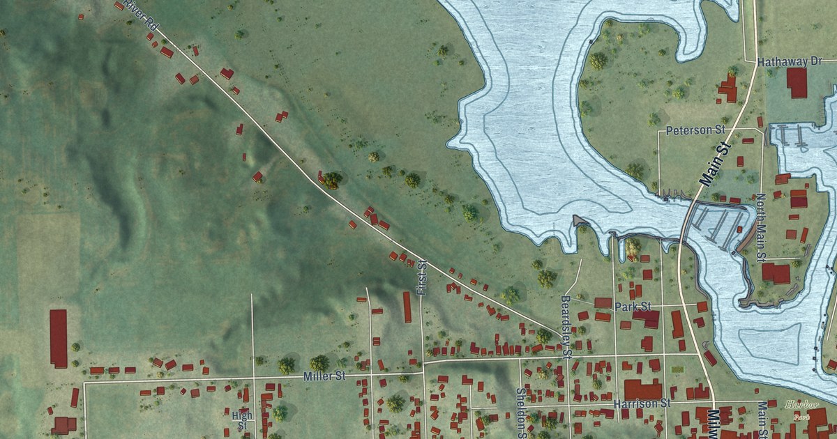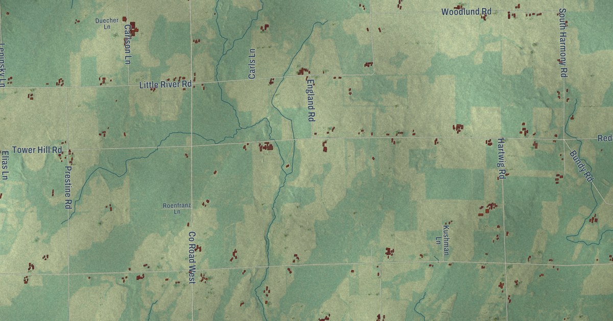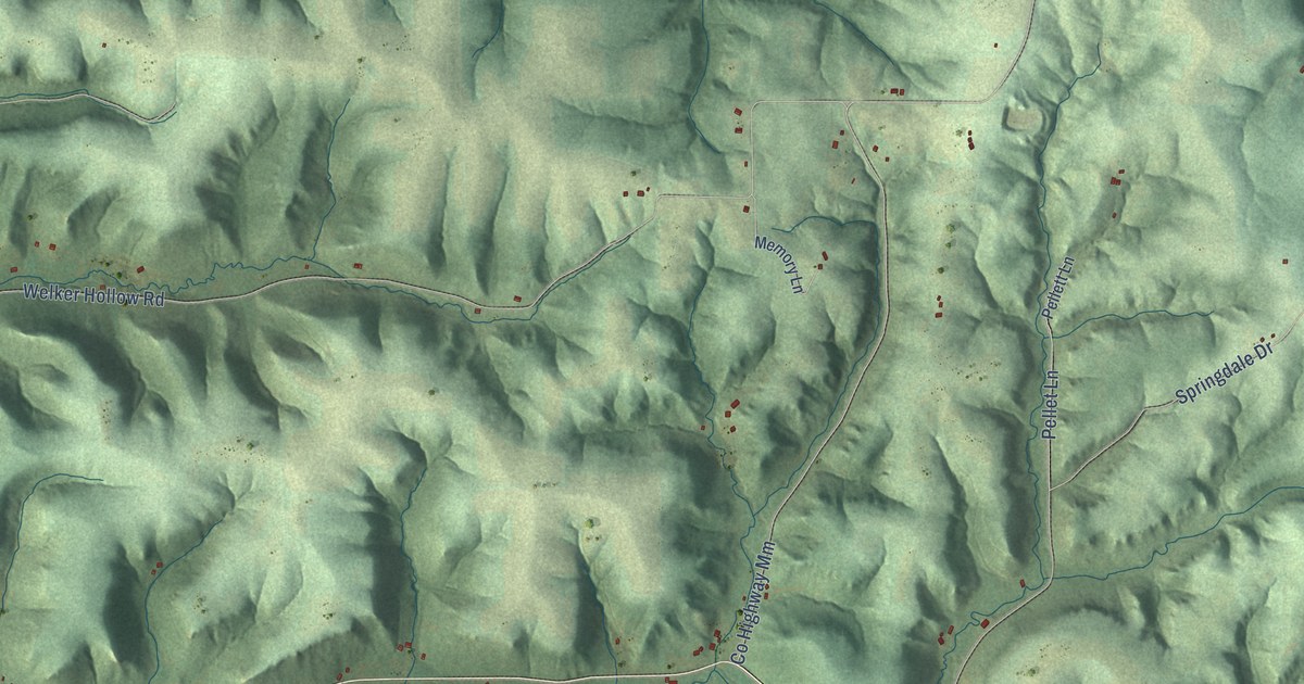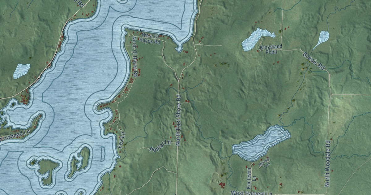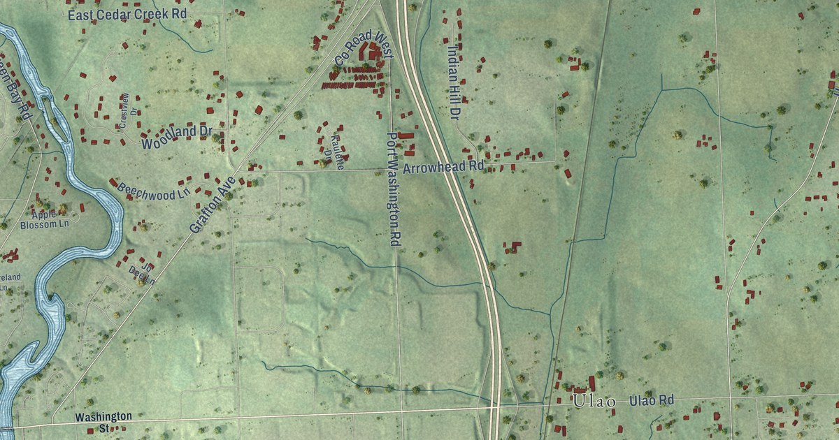
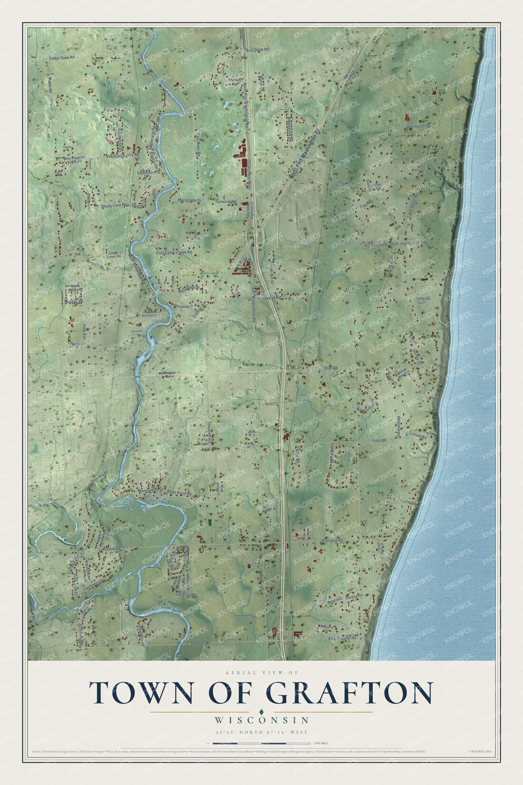
This beautifully detailed map of Grafton, Wisconsin was created in 2026 using aerial imagery combined with modern topographical, census, street and landmark data. It's a modern aerial view of Grafton in Ozaukee County, Wisconsin, that combines modern data with a vintage aesthetic. The roads feature printed names, and if you look closely you can find your exact house accurately shown in its correct location.
Explore an aerial view of Grafton, Wisconsin
On this map you'll find Lakefield, Ulao, North Port Washington Road, Lake Shore Road, Grafton Avenue, Pioneer Road, North Green Bay Road, East Pioneer Road, Ulao Parkway South, River Bend Road, Ualo Parkway, Arrowhead Road, and more. Each red shape is a building, so zoom in on the preview and look for yours.
Grafton has a story worth telling. The Internet Archive puts it this way: "Timothy Wooden followed close on
the heels of Drake, and some believe that he might honestly claim to be the first settler."
Grafton is a town in Ozaukee County. The Census Bureau counted 4,355 people here in 2020.
Take a closer look at the Grafton map
Names on this map
These names are printed on this map.
Places: Lakefield and Ulao.
Streets and roads: North Port Washington Road, Lake Shore Road, Grafton Avenue, Pioneer Road, North Green Bay Road, East Pioneer Road, Ulao Parkway South, River Bend Road, Ualo Parkway, Arrowhead Road, Shady Lane Road, County Highway West.
More street names, A to Z
Apple Blossom Lane, Aqua View Road, Aspen Court, Beacons, Beechwood Lane, Canterbury Road, Cardinal Road, Cedar Creek Road, Cedar Sauk Road, Chapel Court, Cheyenne Avenue, County Highway Ll, County Road West, Crestview Drive, Dropseed Court, East Cedar Creek Road, East River Road, East Sauk Road, Edgewater Court, Edgewater Drive, Edgewater Road, Edgewood Drive, Fairhaven Drive, Falls Road, Fifth Avenue, Fox Lane, Fox Tail Lane, Glenview Lane, Green Bay Road, Green Valley Road, High Bluff Drive, High Forest Drive, High Knoll Drive, Hillcrest Road, Indian Hill Drive, Jo Dee Lane, Kara Lane, Kaulette Drive, Lake Bluff Lane, Lakefield Road, Lakeland Road, Lakeside Court, Lamplighter Lane, Lebon Lane, Manchester Drive, Maple Court, Maple Road, Marak Drive, Marina Drive, Maryglade Drive, Mayfair Road, Old State Highway 57, Parkwood Court, Pheasant Lane, Pleasant Valley Road, Portland Road, Port Washington Road, Preserve Court, Ridgewood Road, River Bend Court, Riverview Drive, Rose Street, Shady Lane, Sharon Lane, Shoreland Lane, South Green Bay Road, Spilt Rail Court, Starboard Court, Stonecroft Drive, Tallgrass Drive, Terminal Road, Town Road, Trailway Court, Trailway Drive, Trillium Road, Ulao Court, Ulao Lane, Ulao Parkway, Ulao Road, Valley View Lane, Vista View Drive, Washington Street, Waters Meet Drive, Waterstone Drive, West Pleasant Valley Road, Westwood Drive, Willow Wood Lane, Woodhaven Drive, Woodland Drive.
Created by KNOWOL in 2026. The buildings are small red shapes, the roads carry their printed names, and shaded relief shows the shape of the land. The title panel reads "AERIAL VIEW OF TOWN OF GRAFTON, WISCONSIN" with 43°19' NORTH 87°54' WEST.
It looks right in a kitchen, an office or a den, and it's a gift for anyone who grew up in Grafton or moved away. Open the preview and find your street. See sizes and frames for the Town of Grafton map.