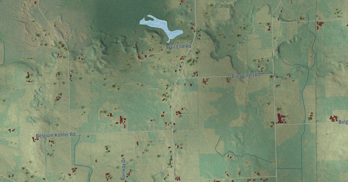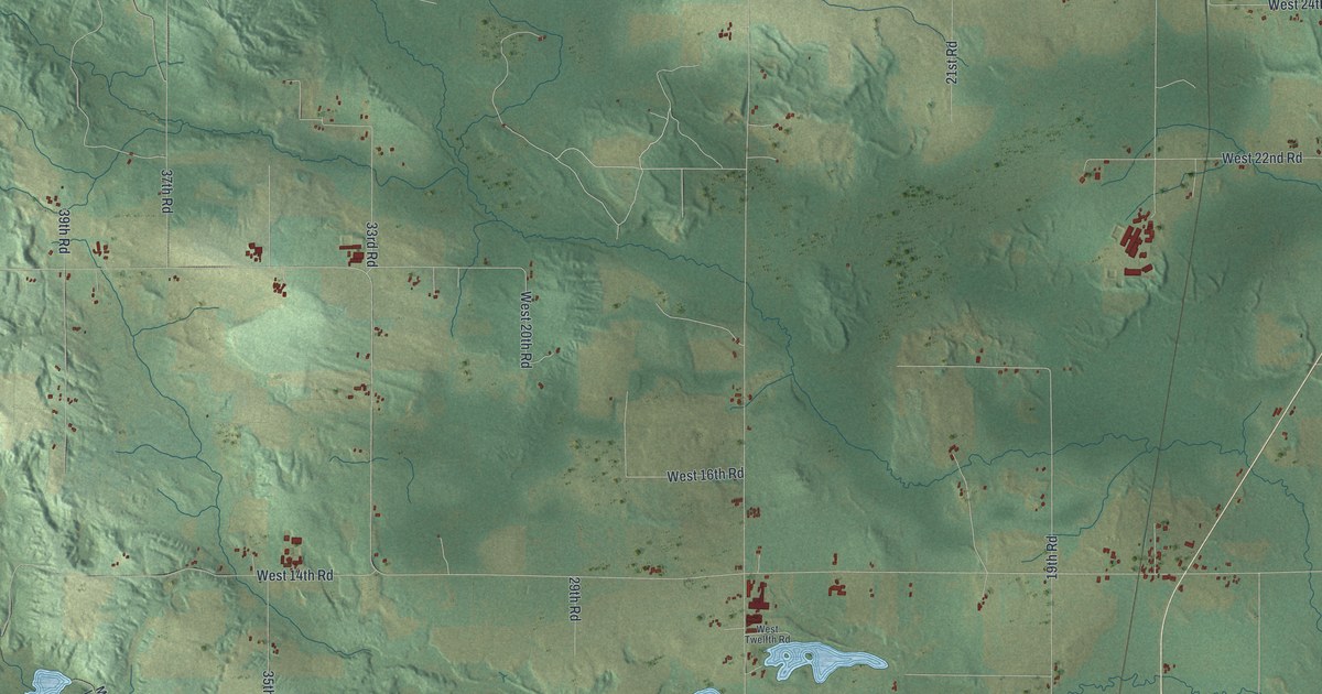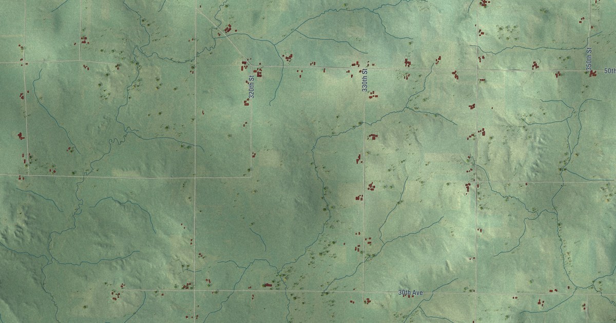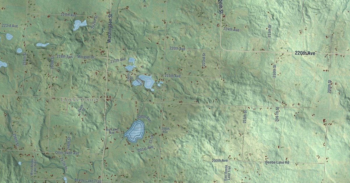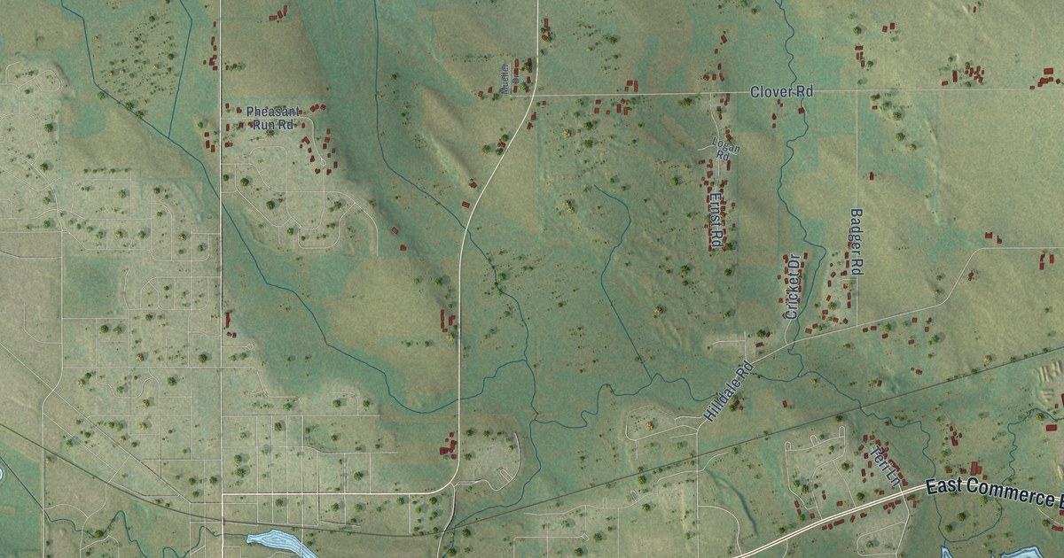
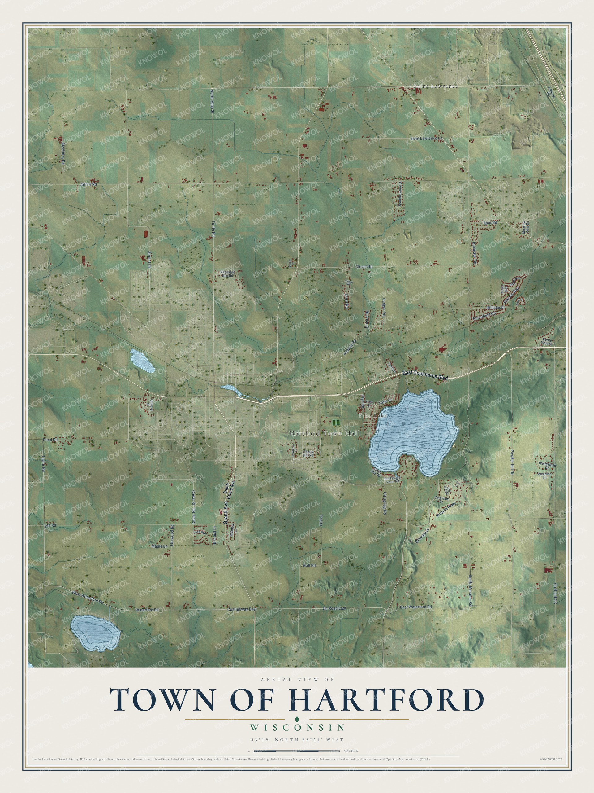
This beautifully detailed map of Hartford, Wisconsin was created in 2026 using aerial imagery combined with modern topographical, census, street and landmark data. It's a modern aerial view of Hartford in Washington County, Wisconsin, that combines modern data with a vintage aesthetic. The roads feature printed names, and if you look closely you can find your exact house accurately shown in its correct location.
Explore an aerial view of Hartford, Wisconsin
On this map you'll find Hartford Town Hall, Pike Lake, Saint Lawrence, East Commerce Boulevard, Grand Avenue, Powder Hill Road, Pond Road, Turtle Road, North Main Street, Taylor Road, Hilldale Road, Lee Road, and more. Each red shape is a building, so zoom in on the preview and look for yours.
Hartford has a story worth telling. The Washington County History puts it this way: "Timothy Hall, the first settler of the town of Hartford, found at his arrival in July, 1843 Alfred Ohrendorf to be the only settler in all of Town Addison."
Hartford is a town in Washington County. The Census Bureau counted 3,400 people here in 2020.
Take a closer look at the Hartford map
Names on this map
These names are printed on this map.
Places: Hartford Town Hall, Pike Lake and Saint Lawrence.
Streets and roads: East Commerce Boulevard, Grand Avenue, Powder Hill Road, Pond Road, Turtle Road, North Main Street, Taylor Road, Hilldale Road, Lee Road, Oil Spring Road, Hilldale Drive, County Road East.
More street names, A to Z
Addison Road, Airport Drive, Arthur Road, Badger Road, Bonmaur Terrace, Bramblewood Drive, Cedar Road, Cedar Street, Cherry Hill Road, Clifford Drive, Clover Road, County Highway East, County Road CC, Cricket Drive, East Eagle Point Road, East Waterford Road, Elaines Way, Elmwood Road, Ernst Road, First Street, Glassgo Drive, Hall Road, Hawthorn Lane, High Road, Hillcrest Drive, Kettle Moraine Road, Kettle View Court, Kings Way, Lake Drive, Lark Avenue, Logan Road, Maple Lane, McKinley Road, Meadow Lane, Meadow View Drive, Mueller Drive, Old Oak Road, Paradise Lane, Park Lane, Parkview Drive, Pheasant Run Road, Poplar, Rolaine Parkway, Royal Avenue, Saint Lawrence Lane, South Bay Road, South Grand Avenue, Spur Road, Stonefield Road, Teri Lane, Waterford Road, West Waterford Road, Wildlife Court, Woodstone Drive.
Created by KNOWOL in 2026. The buildings are small red shapes, the roads carry their printed names, and shaded relief shows the shape of the land. The title panel reads "AERIAL VIEW OF TOWN OF HARTFORD, WISCONSIN" with 43°19' NORTH 88°21' WEST.
It looks right in a kitchen, an office or a den, and it's a gift for anyone who grew up in Hartford or moved away. Open the preview and find your street. See sizes and frames for the Town of Hartford map.