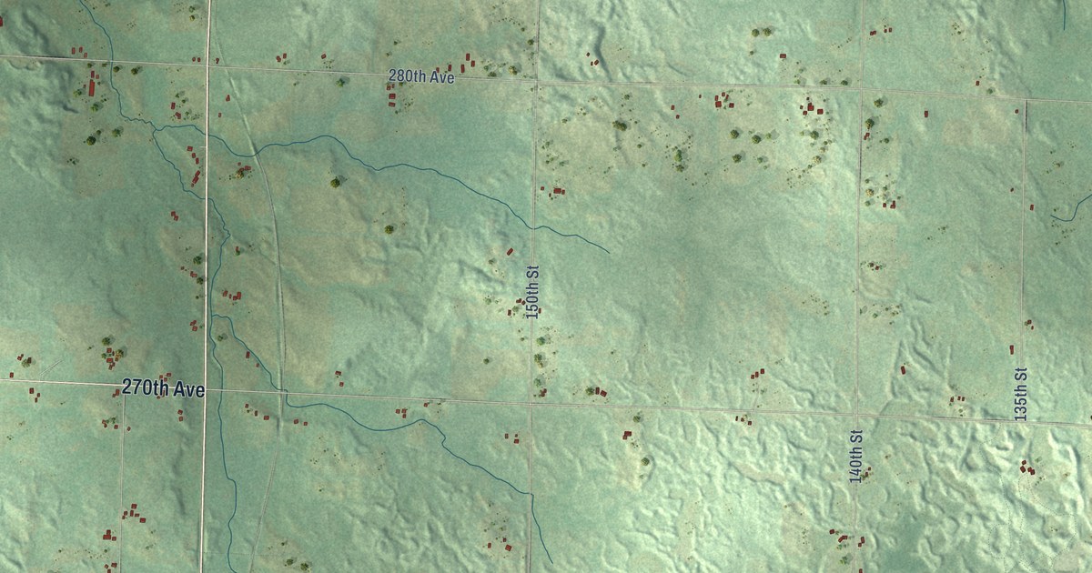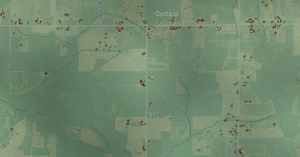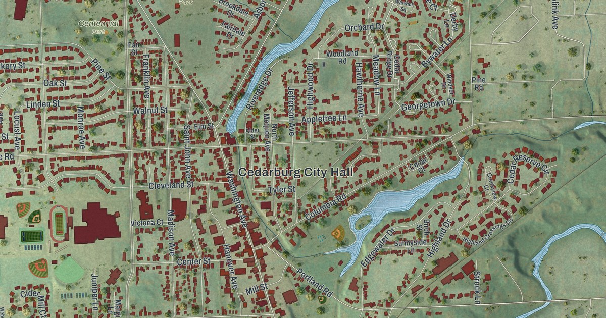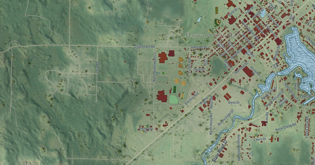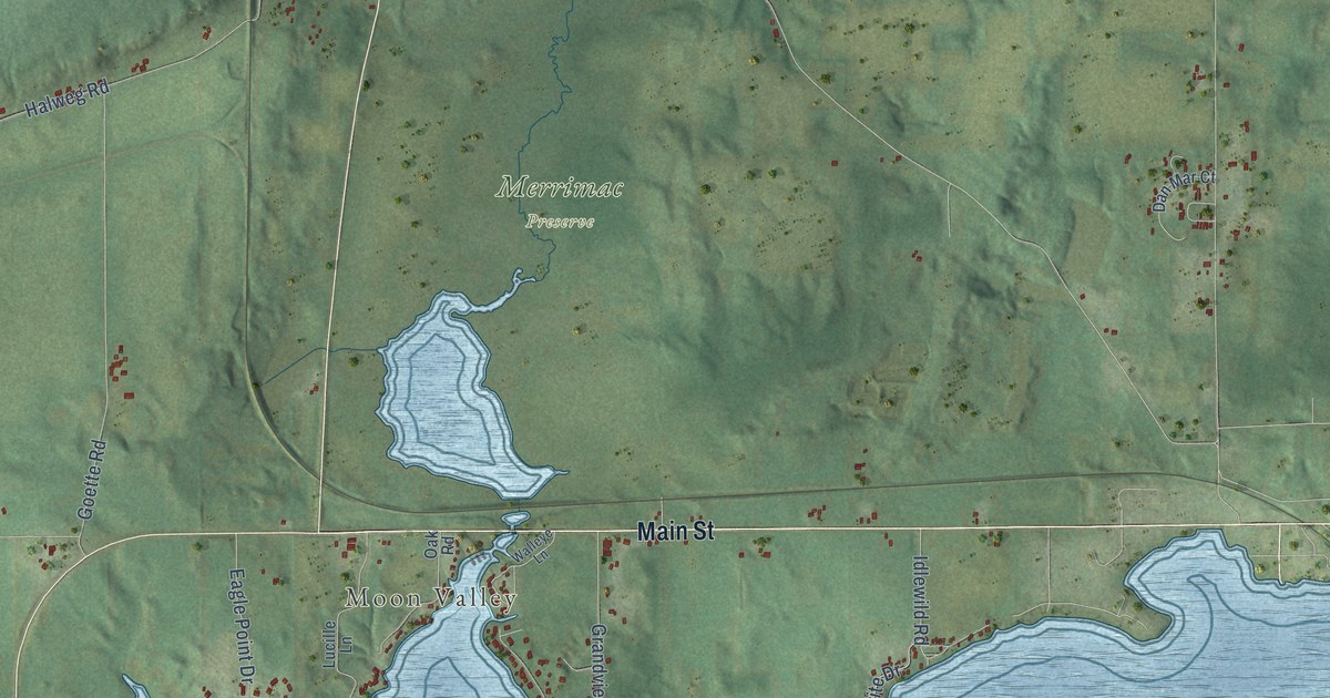
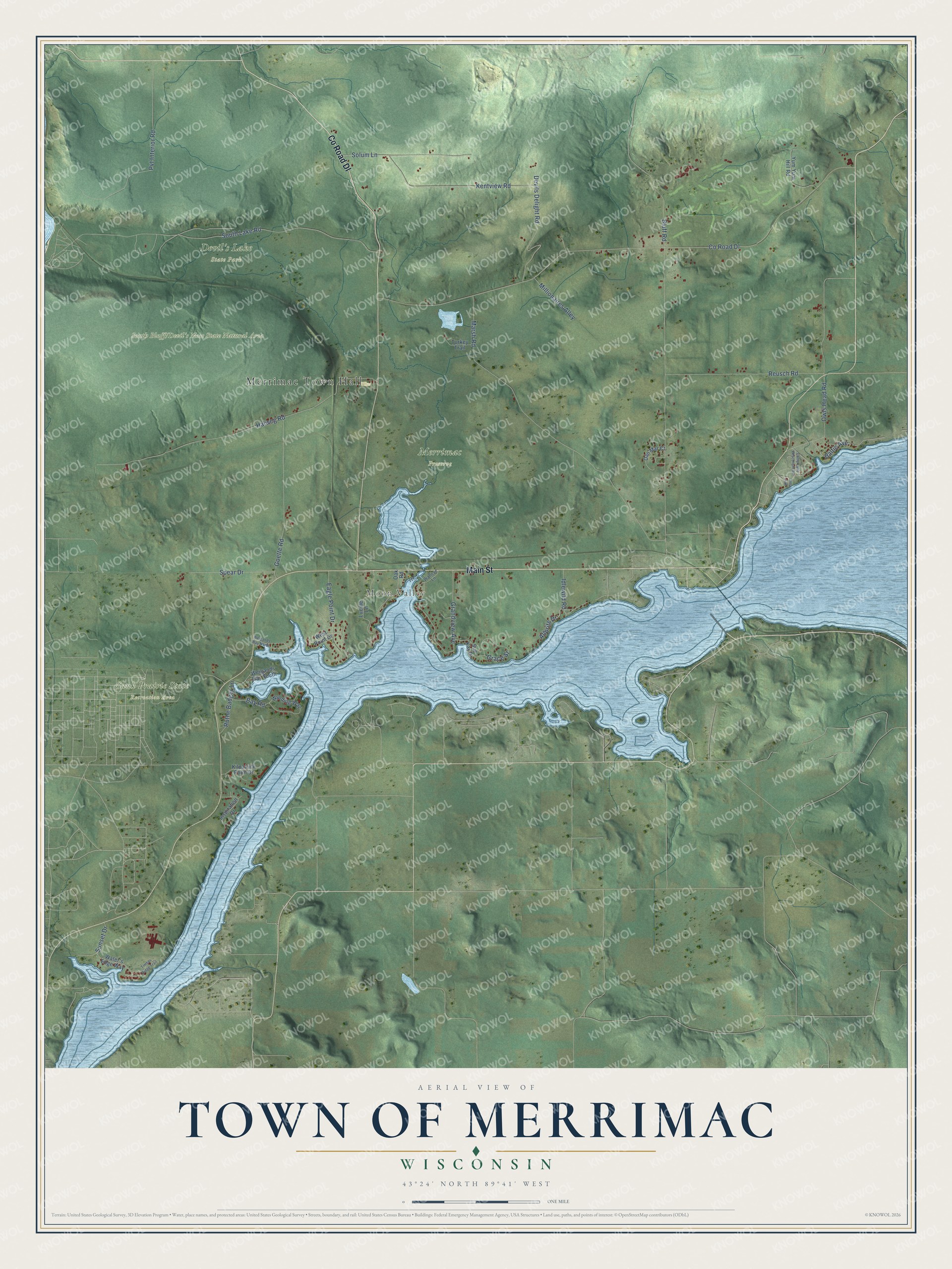
This beautifully detailed map of Merrimac, Wisconsin was created in 2026 using aerial imagery combined with modern topographical, census, street and landmark data. It's a modern aerial view of Merrimac in Sauk County, Wisconsin, that combines modern data with a vintage aesthetic. The roads feature printed names, and if you look closely you can find your exact house accurately shown in its correct location.
Explore an aerial view of Merrimac, Wisconsin
On this map you'll find Merrimac Town Hall, Moon Valley, Devil's Lake State Park, Merrimac Preserve, Sauk Prairie State Recreation Area, South Bluff/Devil's Nose State Natural Area, Main Street, Co Road Dl, Bluff Road, Halweg Road, South Lake Road, Marsh Road, and more. Each red shape is a building, so zoom in on the preview and look for yours.
Merrimac is a town in Sauk County. The Census Bureau counted 1,247 people here in 2020. The map prints the town name in its title panel, with the coordinates below it.
Take a closer look at the Merrimac map
Names on this map
These names are printed on this map.
Places: Merrimac Town Hall, Moon Valley, Devil's Lake State Park, Merrimac Preserve and Sauk Prairie State Recreation Area.
Streets and roads: Main Street, County Road Dl, Bluff Road, Halweg Road, South Lake Road, Marsh Road, Owls Head Road, Pvt Interior Road, Kentview Road, Goette Road, Reusch Road, Grandview Avenue.
More street names, A to Z
Allbrite Drive, Baltic Avenue, Bay Road, Camp Lake Wisconsin Road, Dan Mar Court, Devils Delight Road, Eagle Point Drive, Elma Avenue, Grace Street, Idlewild Road, Inspiration Drive, Kilpatrick Point Drive, Lucille Lane, Millionaires Alley, Oak Road, Ruthe Badger Lane, Solum Lane, Spear Drive, Sue Kay Drive, Sunset Drive, Timber Ridge Trail, Turkey Trail, Walleye Lane, Water's Edge Way, Weigands Bay North, Weigands Bay South, West Point Drive, Wynding Way, Yum Yum Hill Road.
Created by KNOWOL in 2026. The buildings are small red shapes, the roads carry their printed names, and shaded relief shows the shape of the land. The title panel reads "AERIAL VIEW OF TOWN OF MERRIMAC, WISCONSIN" with 43°24' NORTH 89°41' WEST.
Hang it in the hallway, the office or the cabin, or give it to someone who left Merrimac and still calls it home. Open the preview and look for a street you know. See sizes and frames for the Town of Merrimac map.