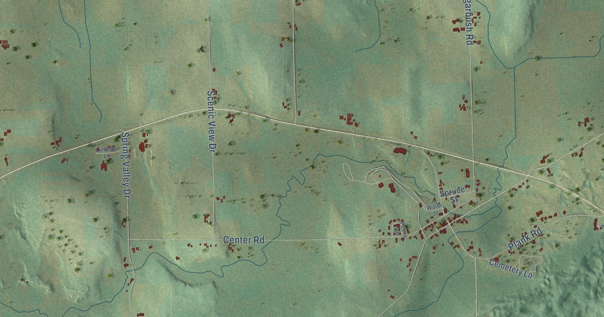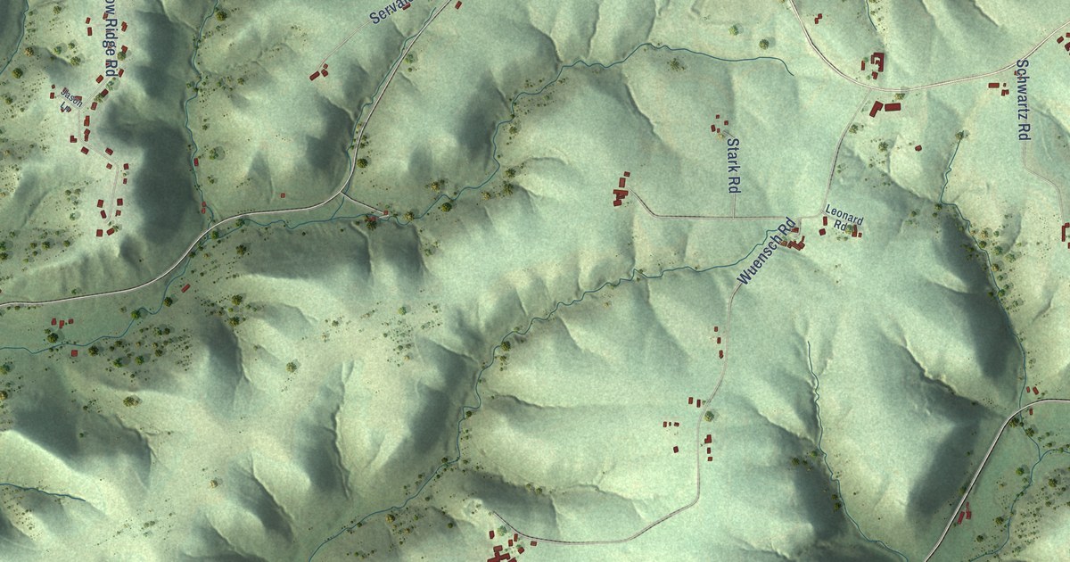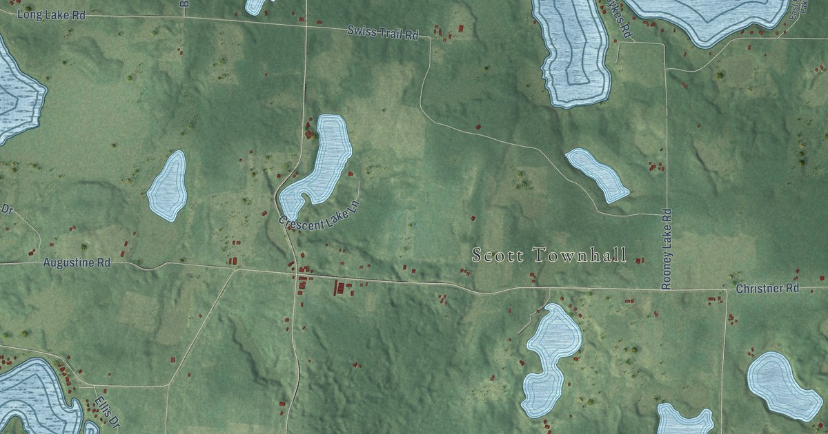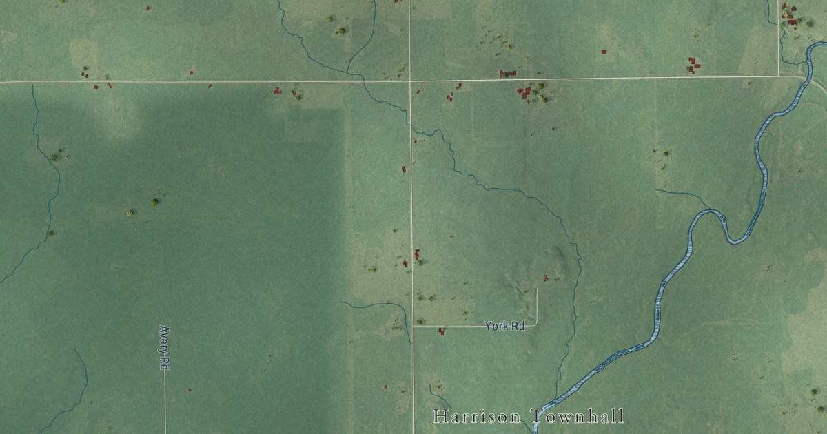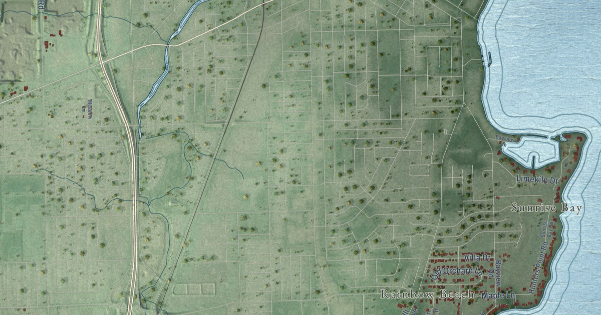
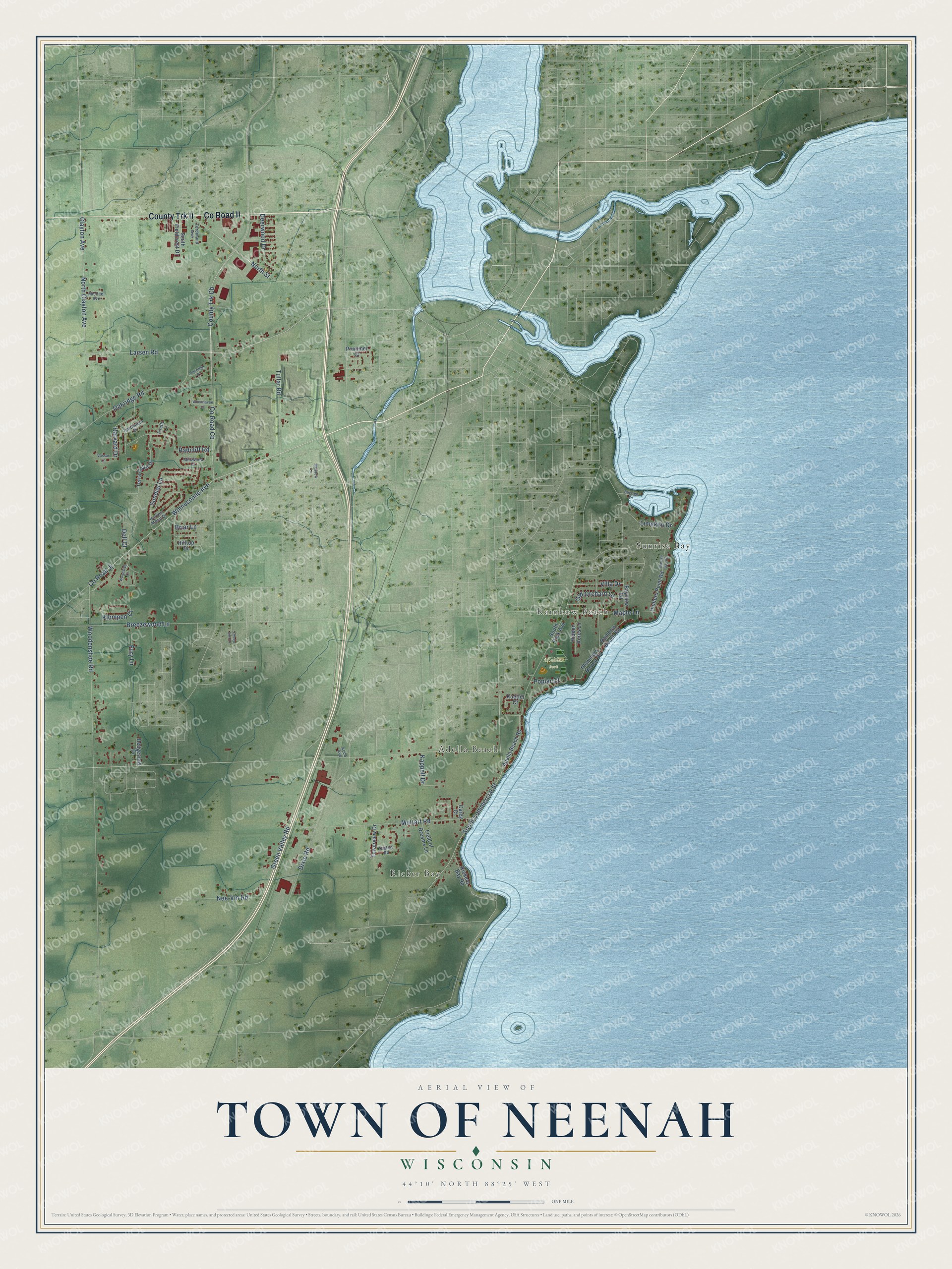
This beautifully detailed map of Neenah, Wisconsin was created in 2026 using aerial imagery combined with modern topographical, census, street and landmark data. It's a modern aerial view of Neenah in Winnebago County, Wisconsin, that combines modern data with a vintage aesthetic. The roads feature printed names, and if you look closely you can find your exact house accurately shown in its correct location.
Explore an aerial view of Neenah, Wisconsin
On this map you'll find Ricker Bay, Adella Beach, Rainbow Beach, Mahler Park, Sunrise Bay, County Trk II, Co Road II, Oakridge Road, Co Road Jj, Winneconne Avenue, Co Road Cb, County Trk Cb, and more. Each red shape is a building, so zoom in on the preview and look for yours.
Neenah has a story worth telling. The History of Winnebago County puts it this way: "The Town of Neenah, of which this was once a part, was divided January 6, 1855, by order of the County Board of Supervisors, and the Town of Menasha organized."
Neenah is a town in Winnebago County. The Census Bureau counted 3,702 people here in 2020.
Take a closer look at the Neenah map
Names on this map
These names are printed on this map.
Places: Ricker Bay, Adella Beach, Rainbow Beach, Mahler Park and Sunrise Bay.
Streets and roads: County Trk II, County Road II, Oakridge Road, County Road Jj, Winneconne Avenue, County Road Cb, County Trk Cb, North Street, Old Orchard Lane, Woodenshoe Road, South Commercial Street, Muttart Road.
More street names, A to Z
Acco Avenue, Adella Beach Road, Bayview Lane, Bayview Road, Breezewood Lane, Briar Lane, Carey Court, Cheryl Ann Drive, Clayton Avenue, Dalton Road, Dartmouth Drive, Deerwood Drive, Dell Court, Dixie Road, Ferdinand Avenue, Field of Dreams Lane, Firefly Lane, Fury Lane, Green Valley Road, Harvard Drive, Harvest Moon Drive, Hedgeview Drive, Hidden Acres Lane, Hilltop Drive, Hunters Point Road, Kappell Drive, Klompen Court, Kuettel Court, Larsen Road, Limekiln Drive, Maple Lane, Meadow Lane, Michael Avenue, Milkweed Court, Nee-Vin Road, North Clayton Avenue, Oakridge Place, Plummer Court, Plummers Harbor Road, Poplar Court, Radcliff Road, Rainbow Beach Road, Rickers Bay Road, South Fieldcrest Drive, South Park Avenue, Sundial Lane, Sunrise Bay Road, Terra Cotta Drive, Towerview Drive, Tullar Road, Vassar Lane, Villa Drive, Woodhaven Lane, Woodside Court.
Created by KNOWOL in 2026. The buildings are small red shapes, the roads carry their printed names, and shaded relief shows the shape of the land. The title panel reads "AERIAL VIEW OF TOWN OF NEENAH, WISCONSIN" with 44°10' NORTH 88°25' WEST.
It looks right in a kitchen, an office or a den, and it's a gift for anyone who grew up in Neenah or moved away. Open the preview and find your street. See sizes and frames for the Town of Neenah map.