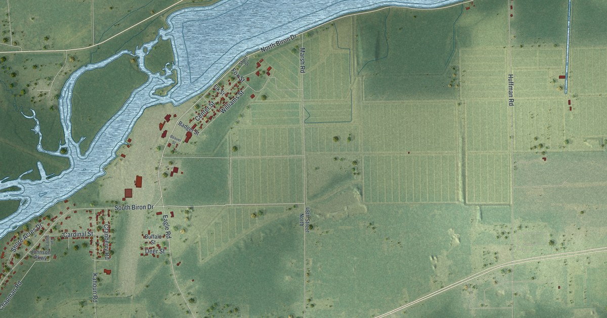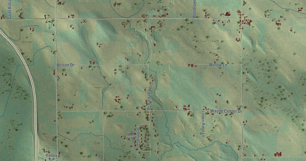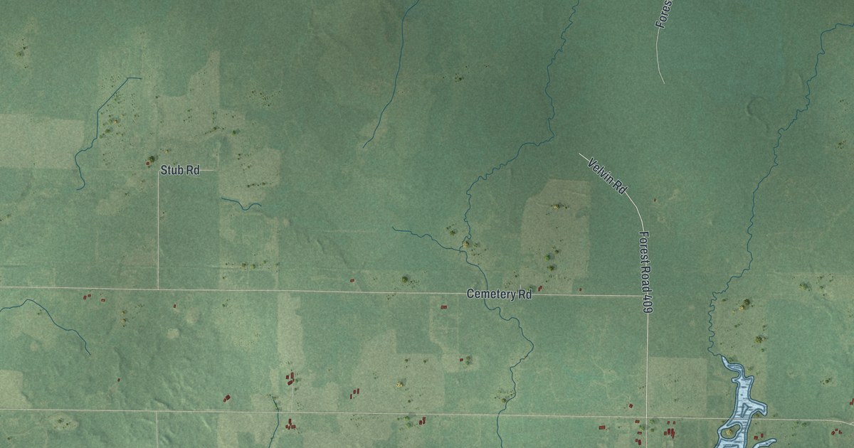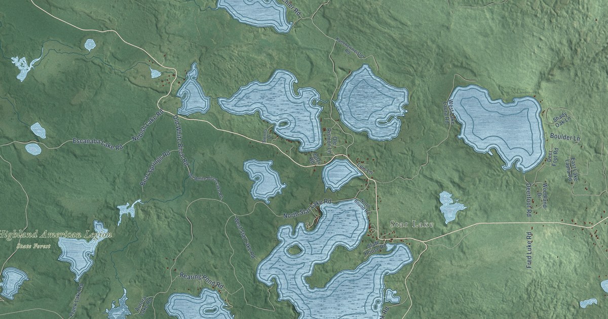
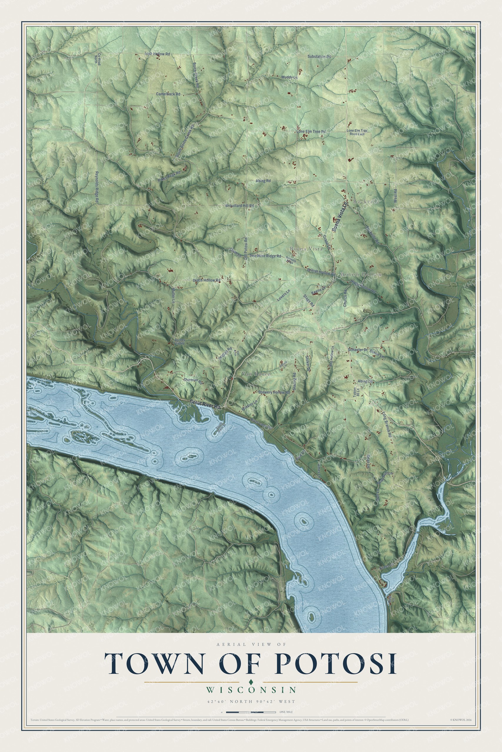
This beautifully detailed map of Potosi, Wisconsin was created in 2026 using aerial imagery combined with modern topographical, census, street and landmark data. It's a modern aerial view of Potosi in Grant County, Wisconsin, that combines modern data with a vintage aesthetic. The roads feature printed names, and if you look closely you can find your exact house accurately shown in its correct location.
Explore an aerial view of Potosi, Wisconsin
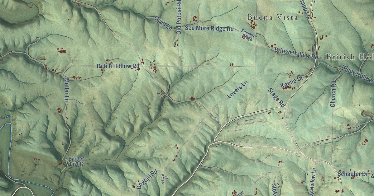
On this map you'll find Rockville, Buena Vista, British Hollow, Van Buren, Great River Road, Buena Vista Lane, Reynolds Ridge Road, Stage Road, Old Potosi Road, River Lane Road, Dutch Hollow Road, Boice Creek Road, and more. Each red shape is a building, so zoom in on the preview and look for yours.
Here is a piece of Potosi history, in the words of the record. The History of Grant County puts it this way: "In 1840 Russell Cardy came and settled in the southern part of the settlement in the town of Potosi, and lived there till his death in 1892, aged 75 years."
Potosi is a town in Grant County. The Census Bureau counted 813 people here in 2020.
Take a closer look at the Potosi map
Names on this map
These names are printed on this map.
Places: Rockville, Buena Vista, British Hollow and Van Buren.
Streets and roads: Great River Road, Buena Vista Lane, Reynolds Ridge Road, Stage Road, Old Potosi Road, River Lane Road, Dutch Hollow Road, Boice Creek Road, Brouillard Hill Road, Irish Hollow Road, Camelback Road, Dogtail Road.
More street names, A to Z
Abing Lane, Abing Road, Ames Lane, Bartles Eighty, Brewery Hollow Road, British Hollow Road, Church Road, County Road North, Crapp Lane, Dean Lane, Dean Ruff Lane, Hippy Hollow Road, Hog Hollow Lane, Keene Drive, Kress Lane, Lone Elm Tree Road, Lone Elm Tree Road East, Long Branch Road, Lovers Lane, Muddy Lane, Muller Lane, Oyen Lane, Park Lane, Patzner Lane, Pikes Peak Road, Rockville Road, Ruff Lane, Schaefer Drive, Seemore Ridge, See More Ridge Road, Shannon Road, Simon Lane, Slazing Road, South Boice Creek Road, South Main Street, Stoker Drive, Substation Road, Tobins 80 Lane, West Lane, West Road, Winkler Lane.
Created by KNOWOL in 2026. The buildings are small red shapes, the roads carry their printed names, and shaded relief shows the shape of the land. The title panel reads "AERIAL VIEW OF TOWN OF POTOSI, WISCONSIN" with 42°40' NORTH 90°42' WEST.
It suits a den, a classroom or a front hall, and it makes a gift for anyone with Potosi roots. Open the preview and find the block you know. See sizes and frames for the Town of Potosi map.