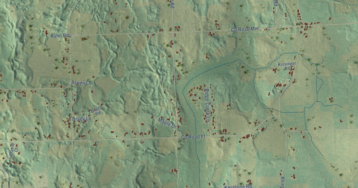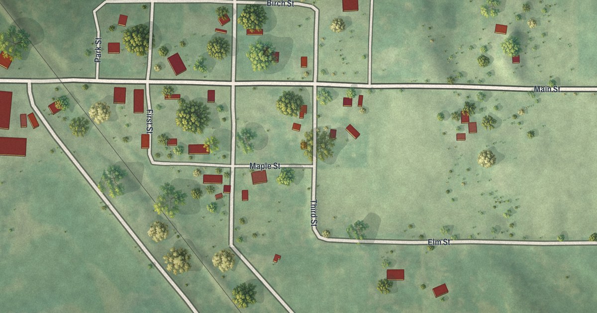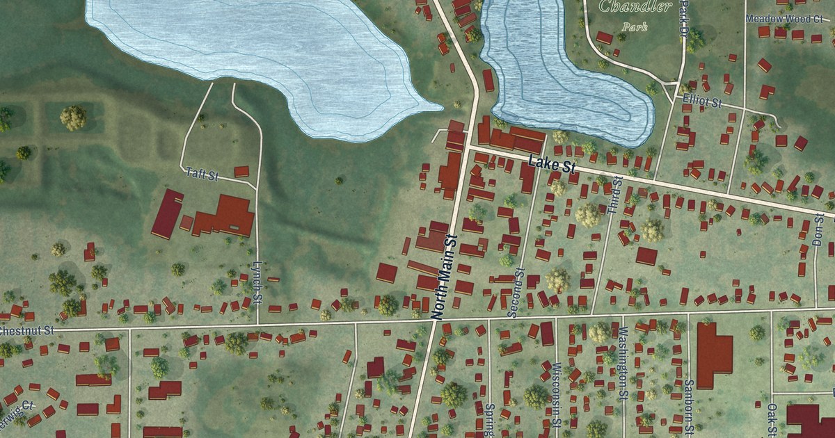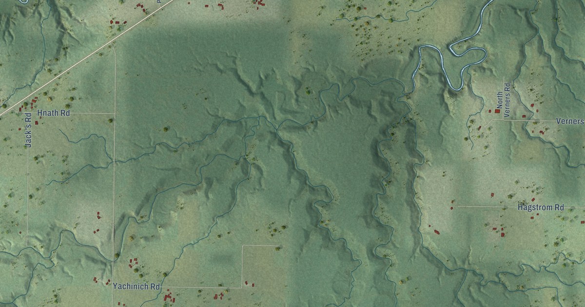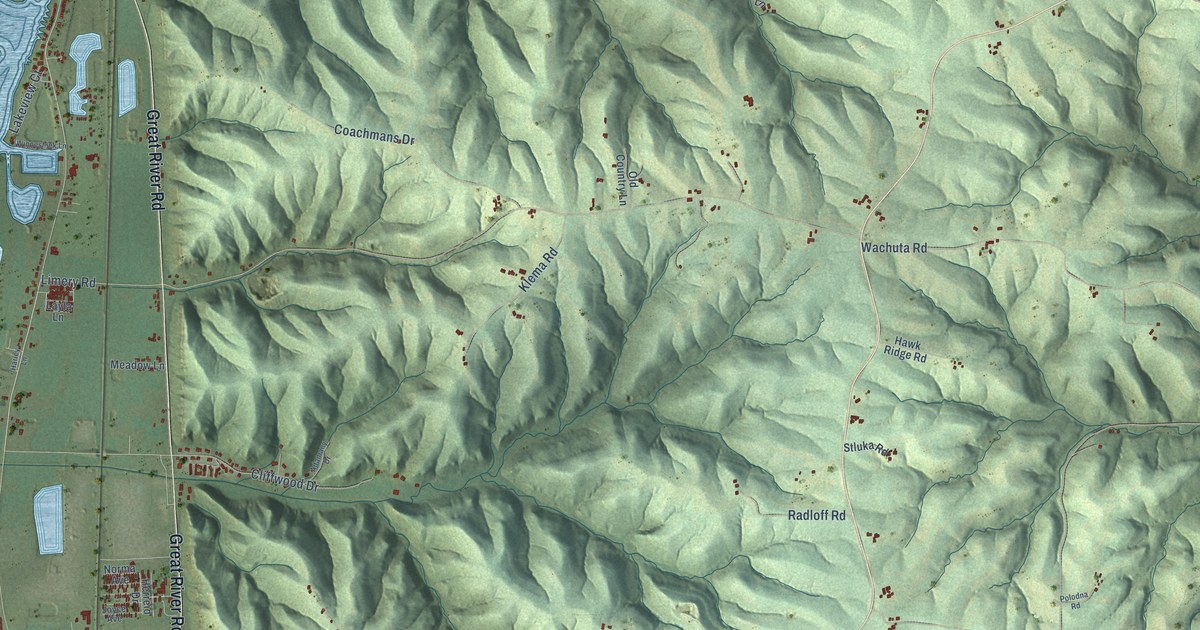
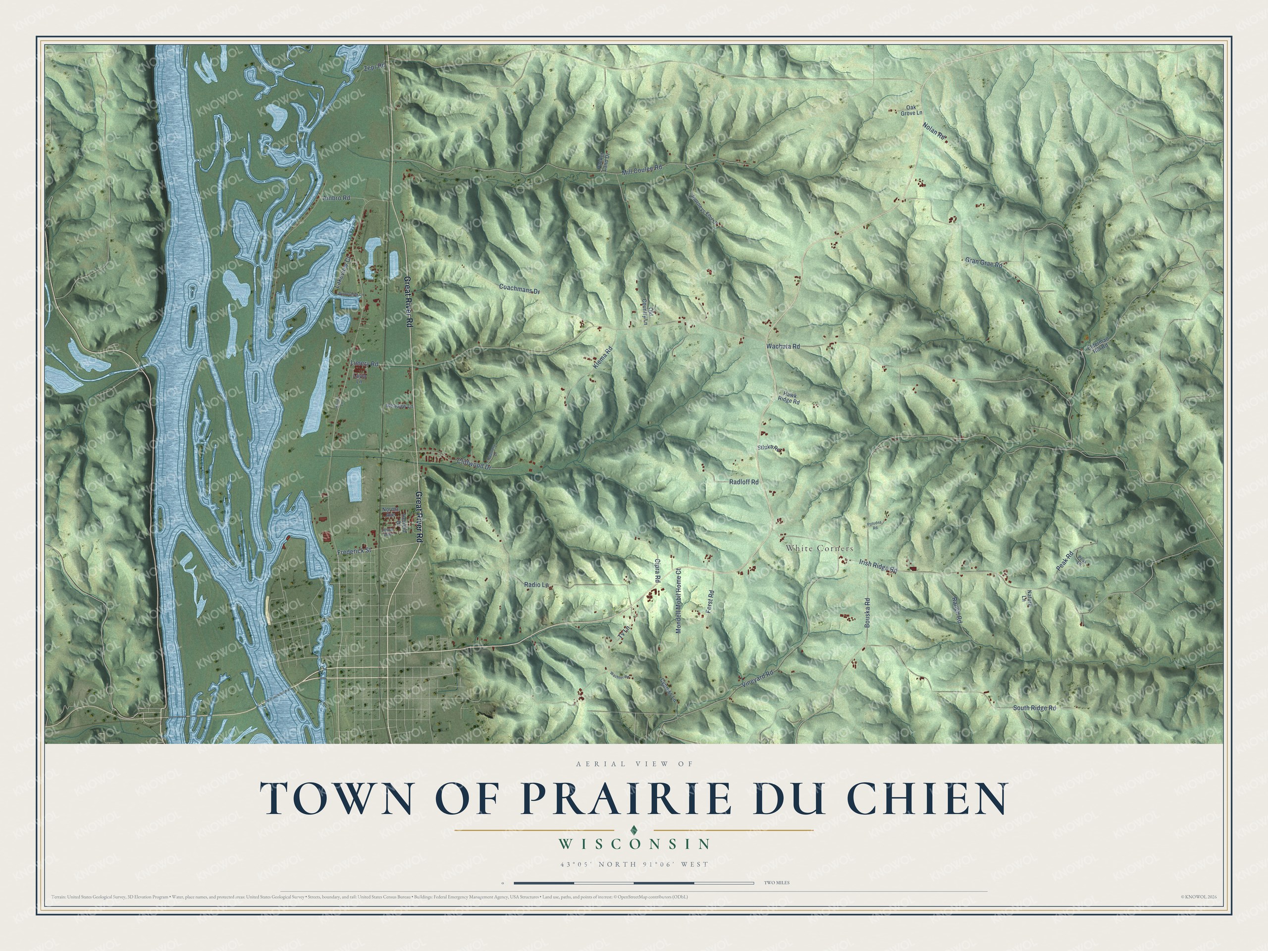
This beautifully detailed map of Prairie du Chien, Wisconsin was created in 2026 using aerial imagery combined with modern topographical, census, street and landmark data. It's a modern aerial view of Prairie du Chien in Crawford County, Wisconsin, that combines modern data with a vintage aesthetic. The roads feature printed names, and if you look closely you can find your exact house accurately shown in its correct location.
Explore an aerial view of Prairie du Chien, Wisconsin
On this map you'll find White Corners, Great River Road, Frederick Street, Bouska Road, Limery Road, Gran Grae Road, Mill Coulee Road, Irish Ridge Road, Wachuta Road, South Ridge Road, Vineyard Road, Radio Lane, and more. Each red shape is a building, so zoom in on the preview and look for yours.
Here is a piece of Prairie du Chien history, in the words of the record. The Historical Marker Database puts it this way: "In prehistoric times water from melting glaciers cut a wide valley between the bluffs of the Mississippi River to form a broad flood plain."
Prairie du Chien is a town in Crawford County. The Census Bureau counted 957 people here in 2020.
Take a closer look at the Prairie du Chien map
Names on this map
These names are printed on this map.
Places: White Corners.
Streets and roads: Great River Road, Frederick Street, Bouska Road, Limery Road, Gran Grae Road, Mill Coulee Road, Irish Ridge Road, Wachuta Road, South Ridge Road, Vineyard Road, Radio Lane, Tv Lane.
More street names, A to Z
Adamany Drive, Ambro Road, Cipra Road, Cliffwood Drive, Coachmans Drive, Cypress Lane, Elderman Hill Road, Forst Road, Harley Lane, Hawk Ridge Road, Herreid Drive, Journeys End Lane, Joyce Avenue, Klema Road, Lakeview Court, Layla Lane, Meadow Lane, Mondell Mobil Home Court, Nature Lane, Nolan Road, Norma Avenue, Oak Grove Lane, Old Country Lane, Packer Land Drive, Peak Lane, Peak Road, Polodna Road, Radloff Road, Ranch Road, Stluka Road, Wachter Road, Winneshiek Lane, Zepr Road.
Created by KNOWOL in 2026. The buildings are small red shapes, the roads carry their printed names, and shaded relief shows the shape of the land. The title panel reads "AERIAL VIEW OF TOWN OF PRAIRIE DU CHIEN, WISCONSIN" with 43°05' NORTH 91°06' WEST.
It suits a den, a classroom or a front hall, and it makes a gift for anyone with Prairie du Chien roots. Open the preview and find the block you know. See sizes and frames for the Town of Prairie du Chien map.