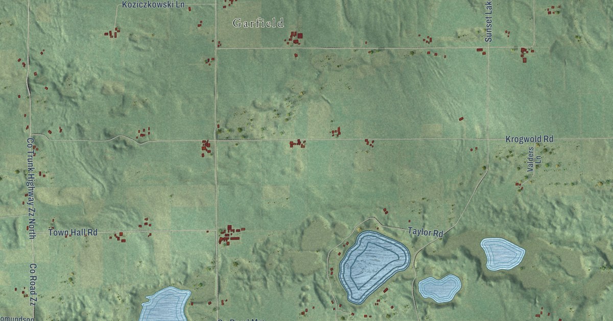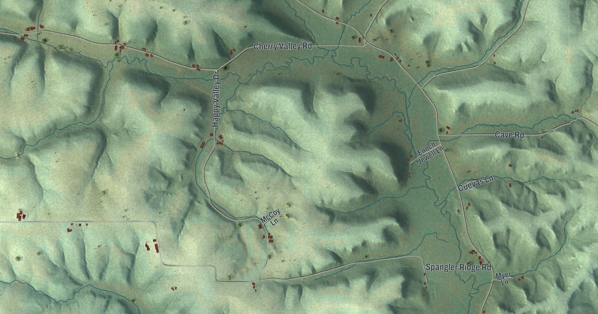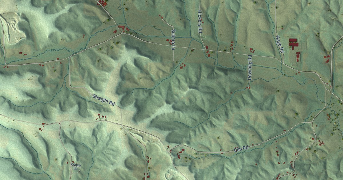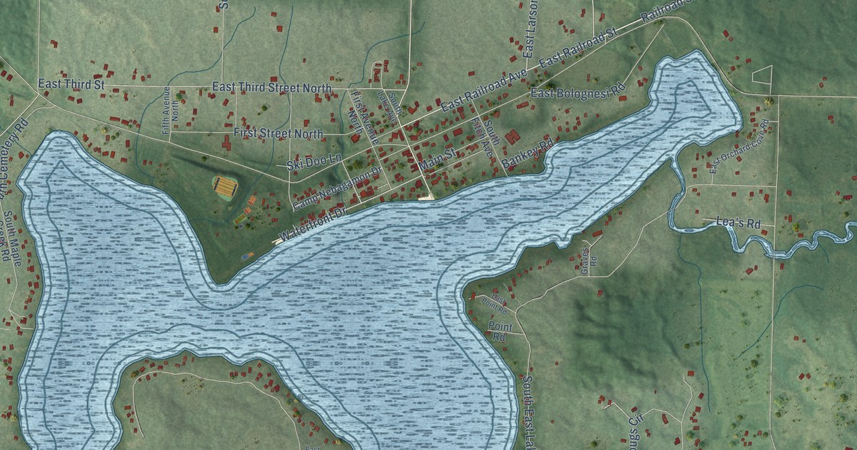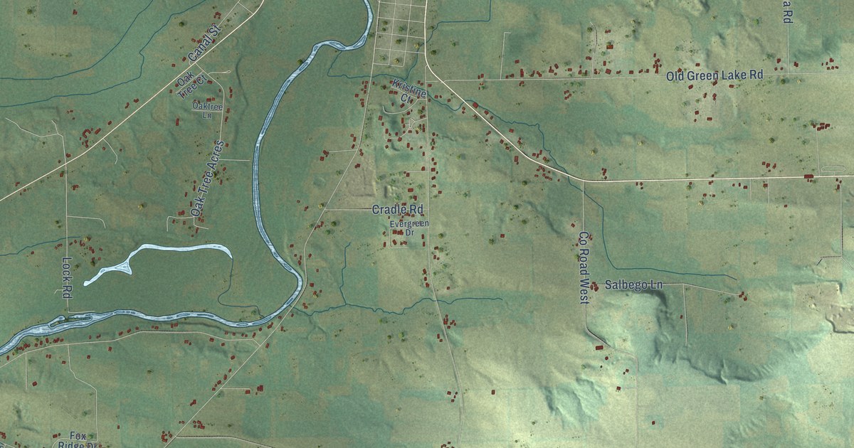
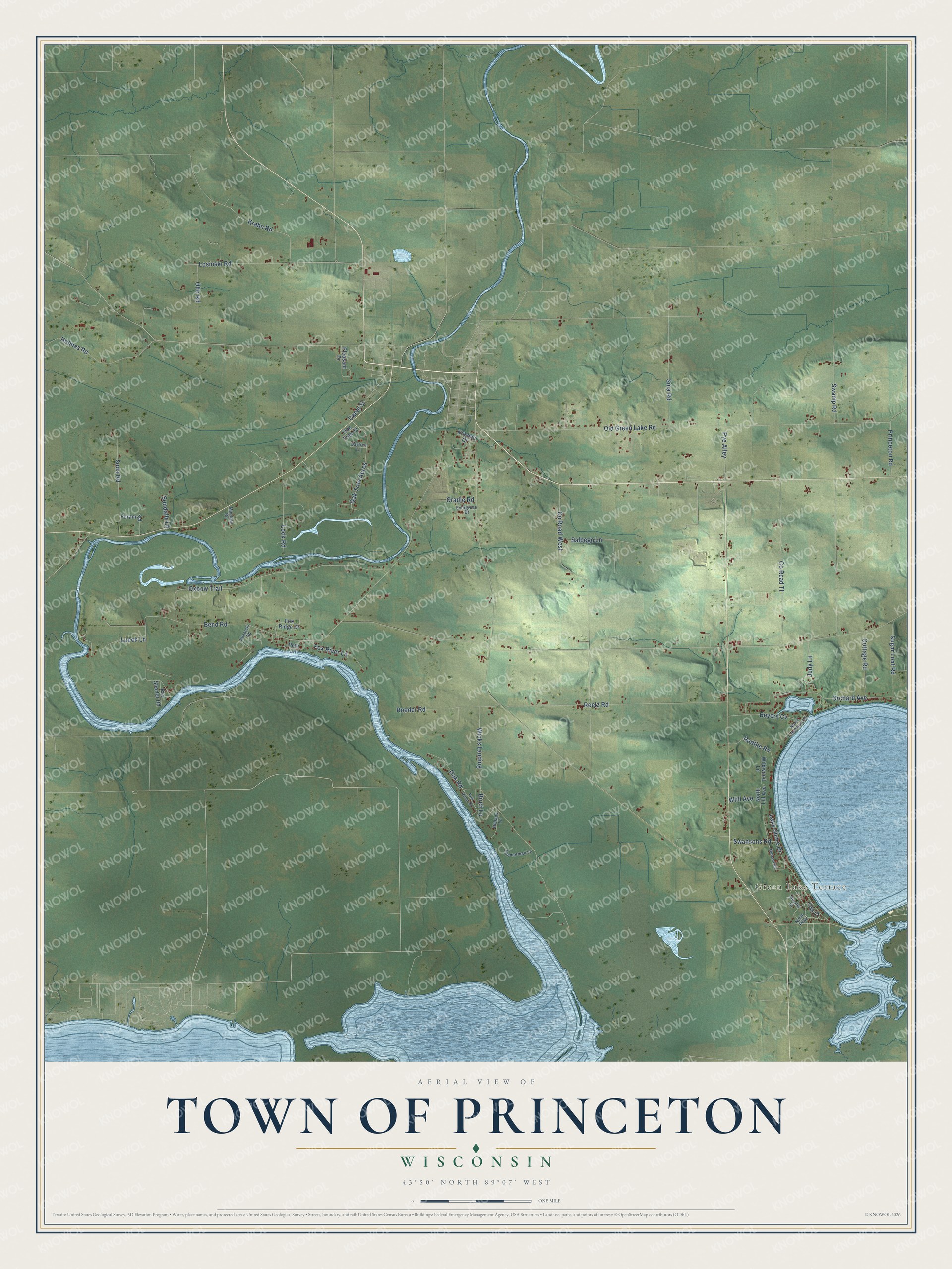
This beautifully detailed map of Princeton, Wisconsin was created in 2026 using aerial imagery combined with modern topographical, census, street and landmark data. It's a modern aerial view of Princeton in Green Lake County, Wisconsin, that combines modern data with a vintage aesthetic. The roads feature printed names, and if you look closely you can find your exact house accurately shown in its correct location.
Explore an aerial view of Princeton, Wisconsin
On this map you'll find Green Lake Terrace, Judy Lane, Old Green Lake Road, Co Road West, Bend Road, Wicks Landing, Oxbow Trail, Reetz Road, Losinski Road, Orchard Avenue, Co Road Tt, Swamp Road, and more. Each red shape is a building, so zoom in on the preview and look for yours.
Every town has a first chapter, and Princeton is no exception. The History of Northern Wisconsin puts it this way: "The town of Princeton was organized in connection with St. Marie in 1849. The town separated from St. Marie, in 1852, when N. P. Smith was elected Chairman and R. P. Lawson, Town Clerk."
Princeton is a town in Green Lake County. The Census Bureau counted 1,519 people here in 2020.
Take a closer look at the Princeton map
Names on this map
These names are printed on this map.
Places: Green Lake Terrace.
Streets and roads: Judy Lane, Old Green Lake Road, County Road West, Bend Road, Wicks Landing, Oxbow Trail, Reetz Road, Losinski Road, Orchard Avenue, County Road Tt, Swamp Road, Krahn Road.
More street names, A to Z
Beyers Cv, Birch Lane, Canal Street, Cottage Road, Cradle Road, Evergreen Drive, Feram Road, Fox Ridge Drive, Fox River Drive, Fox River Lane, Hickory Lane, Holmes Road, Kristine Court, Kuharski Road, Lake Shore Drive, Lock Road, Lueck Lane, Manthey Road, Mueller Drive, Nelson Road, North Lakeshore Drive, North Lill Avenue, North Parkway, Oak Court, Oak Road, Oak Tree Acres, Oak Tree Court, Oaktree Lane, Otto Road, Pete Lane, Pleasant Drive, Princeton Road, Pye Alley, Radtke Road, Ray Shorter Road, Roeder Road, Salbego Lane, Sina Road, Soda Road, Sondalle Lane, Sugar Loaf Road, Swansons Road, Wildwood Lane, Wlill Avenue, Zimmerman Lane.
Created by KNOWOL in 2026. The buildings are small red shapes, the roads carry their printed names, and shaded relief shows the shape of the land. The title panel reads "AERIAL VIEW OF TOWN OF PRINCETON, WISCONSIN" with 43°50' NORTH 89°07' WEST.
Hang it in the hallway, the office or the cabin, or give it to someone who left Princeton and still calls it home. Open the preview and look for a street you know. See sizes and frames for the Town of Princeton map.