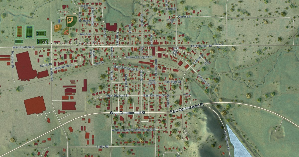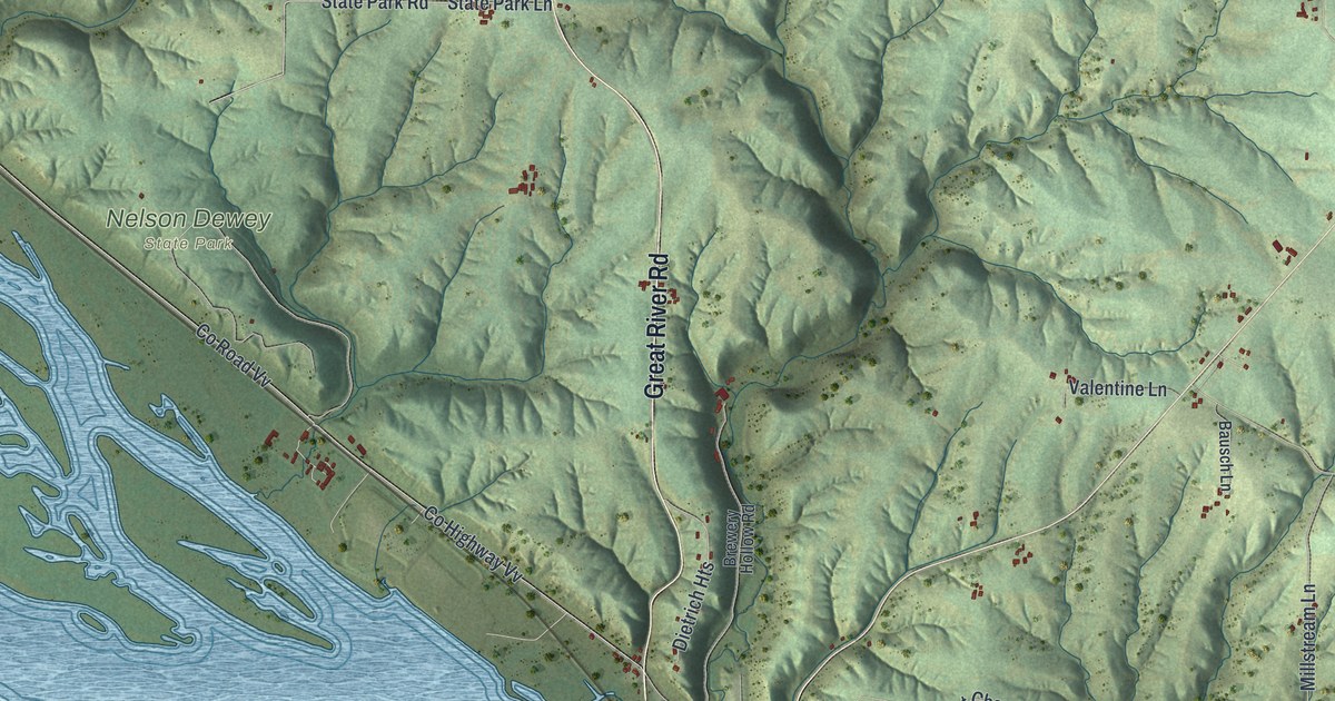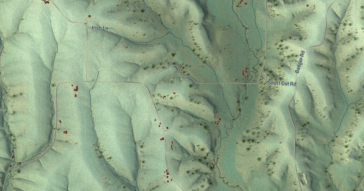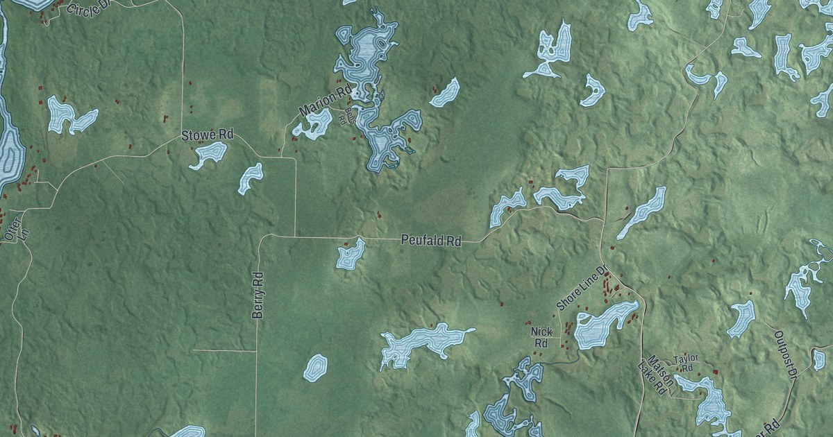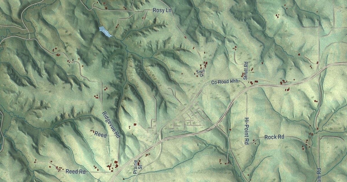
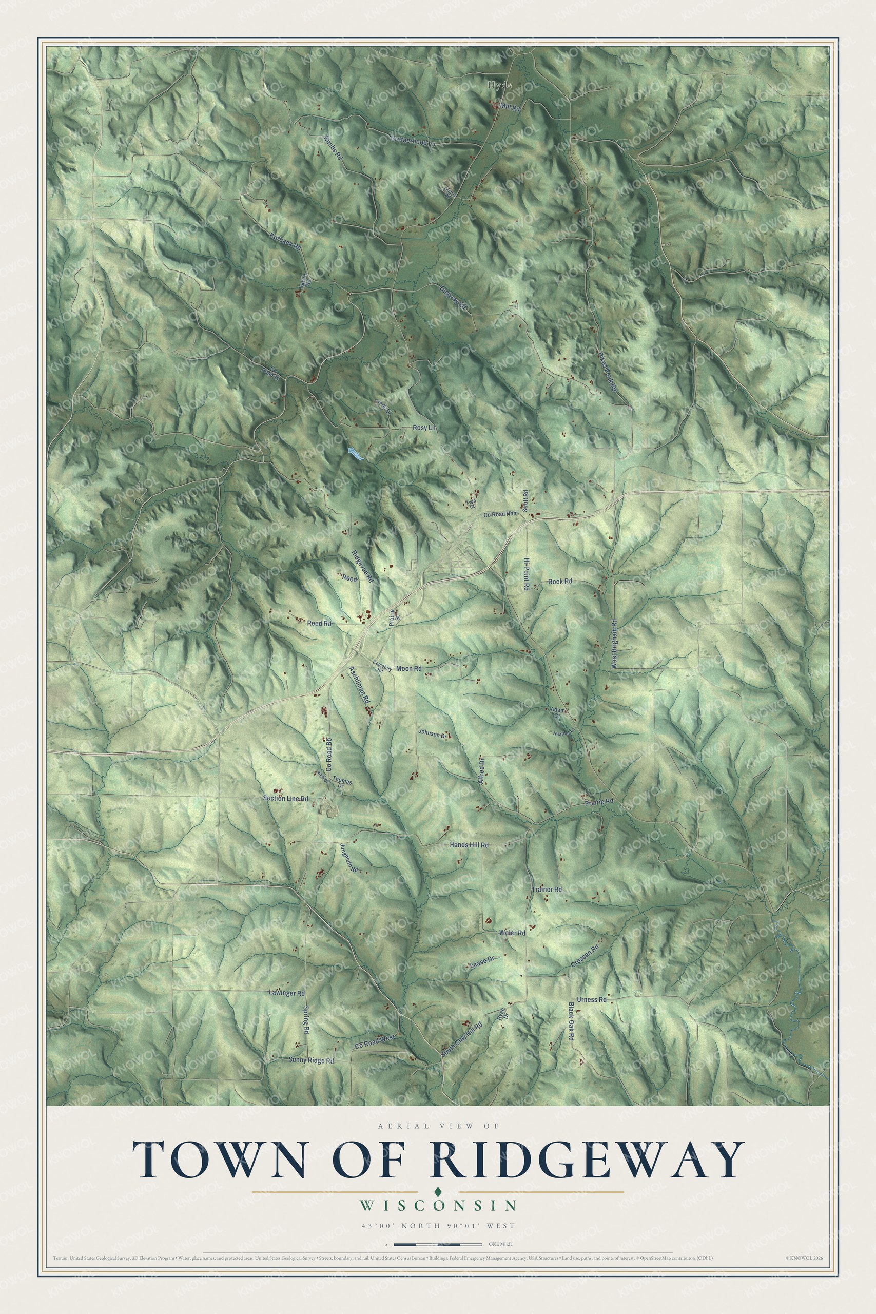
This beautifully detailed map of Ridgeway, Wisconsin was created in 2026 using aerial imagery combined with modern topographical, census, street and landmark data. It's a modern aerial view of Ridgeway in Iowa County, Wisconsin, that combines modern data with a vintage aesthetic. The roads feature printed names, and if you look closely you can find your exact house accurately shown in its correct location.
Explore an aerial view of Ridgeway, Wisconsin
On this map you'll find Hyde, Pikes Peak Road, Prairie Road, South Clay Hill Road, Dugway Road, Knobs Road, Hands Hill Road, Ridgevue Road, Co Road Bb, Brotherhood Lane, Sunny Ridge Road, Spring Road, and more. Each red shape is a building, so zoom in on the preview and look for yours.
Every town has a first chapter, and Ridgeway is no exception. The History of Iowa County puts it this way: "Mr. Marteil kept the first inn in the town of Ridgeway; it was located on the Military road, between Dodgeville and Blue Mounds, which was considerably traveled in those days."
Ridgeway is a town in Iowa County. The Census Bureau counted 563 people here in 2020.
Take a closer look at the Ridgeway map
Names on this map
These names are printed on this map.
Places: Hyde.
Streets and roads: Pikes Peak Road, Prairie Road, South Clay Hill Road, Dugway Road, Knobs Road, Hands Hill Road, Ridgevue Road, County Road Bb, Brotherhood Lane, Sunny Ridge Road, Spring Road, Rosy Lane.
More street names, A to Z
Adam Court, Alfred Drive, Aschliman Road, Black Oak Road, Cemetery Road, County Road Hhh, County Road West, County Road Zz, Crossen Road, Freds Drive, Heather Lane, Hi-Point Road, Johnson Drive, Jungbluth Road, Korback Road, Lawinger Road, Lease Drive, Mill Road, Moon Road, Prairie Street, Quarry Road, Reed, Reed Road, Rikli Drive, Rock Road, Ryan Drive, Sawle Road, Section Line Road, Strutt Road, Thomas Drive, Trainor Road, Twin Court, Urness Road, Weier Road, West Brigham Road.
Created by KNOWOL in 2026. The buildings are small red shapes, the roads carry their printed names, and shaded relief shows the shape of the land. The title panel reads "AERIAL VIEW OF TOWN OF RIDGEWAY, WISCONSIN" with 43°00' NORTH 90°01' WEST.
Hang it in the hallway, the office or the cabin, or give it to someone who left Ridgeway and still calls it home. Open the preview and look for a street you know. See sizes and frames for the Town of Ridgeway map.