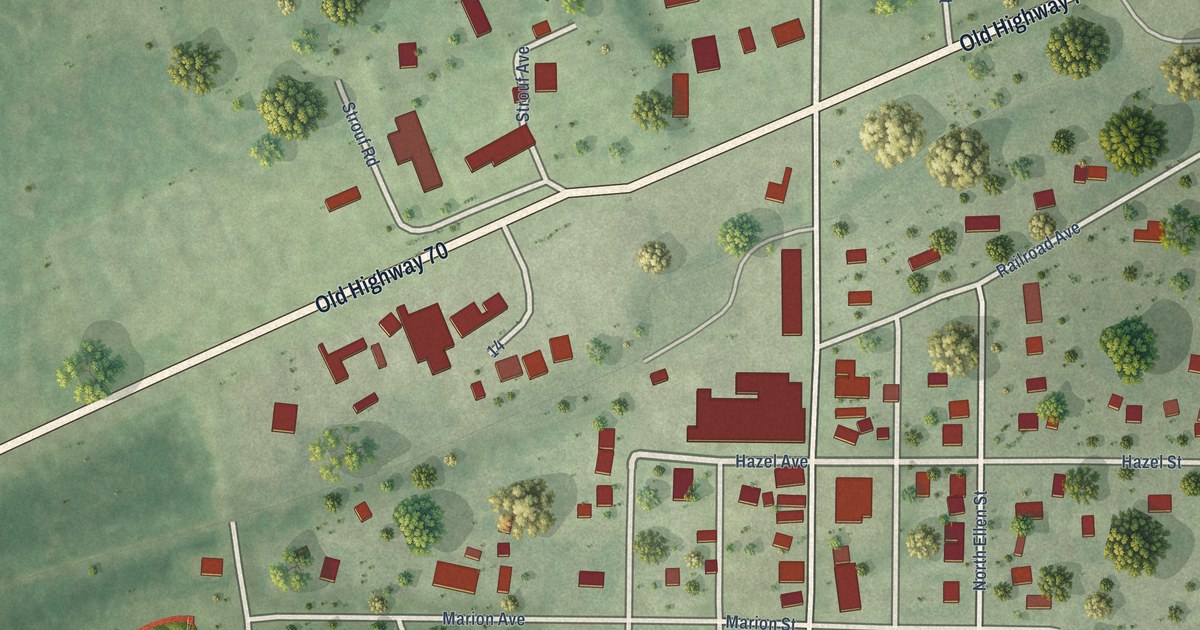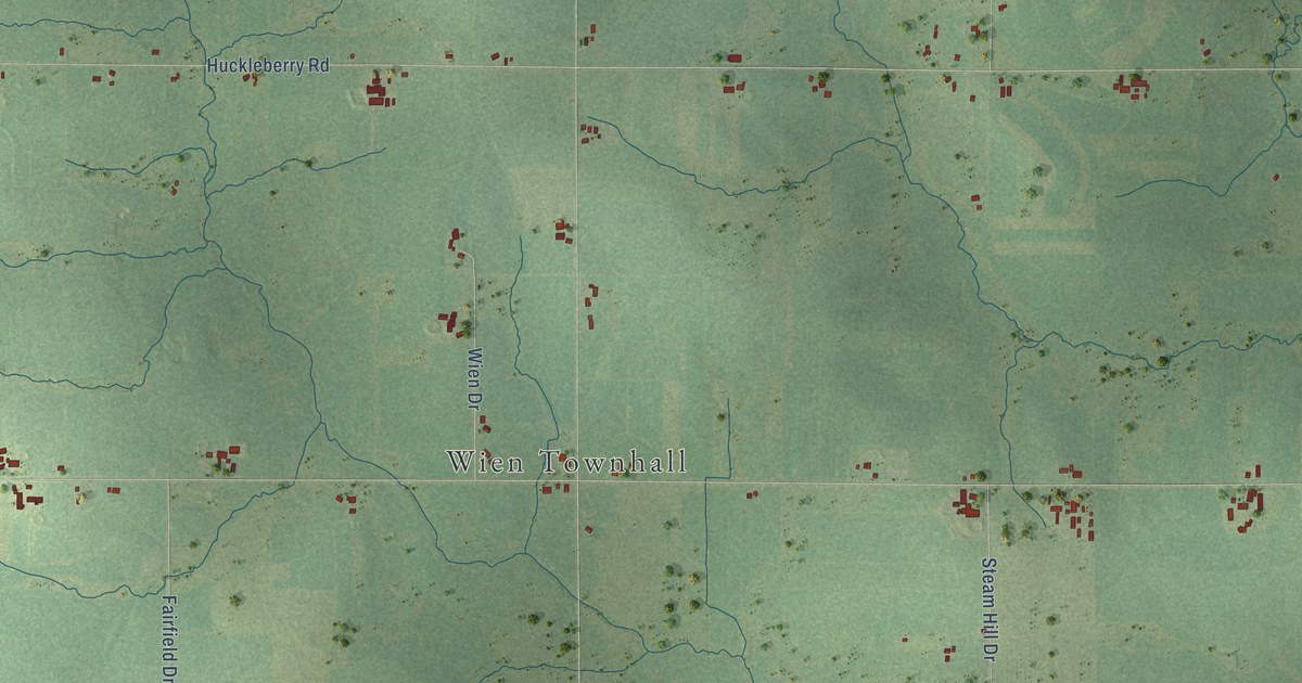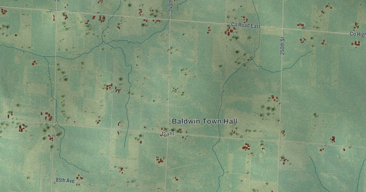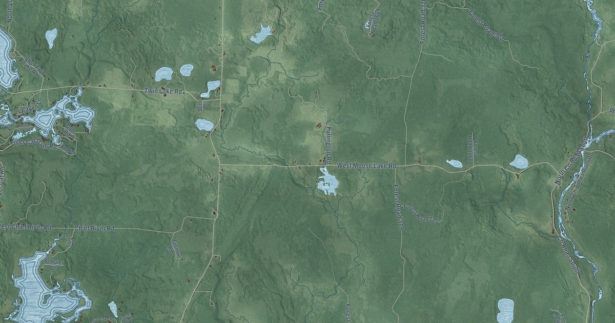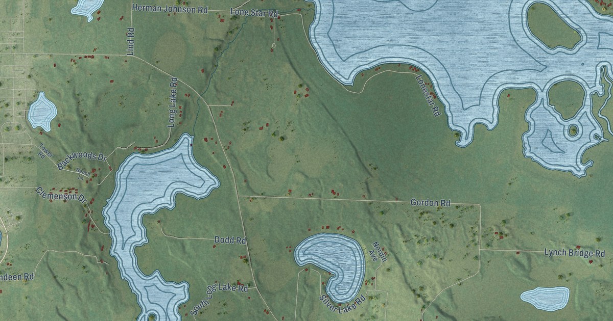
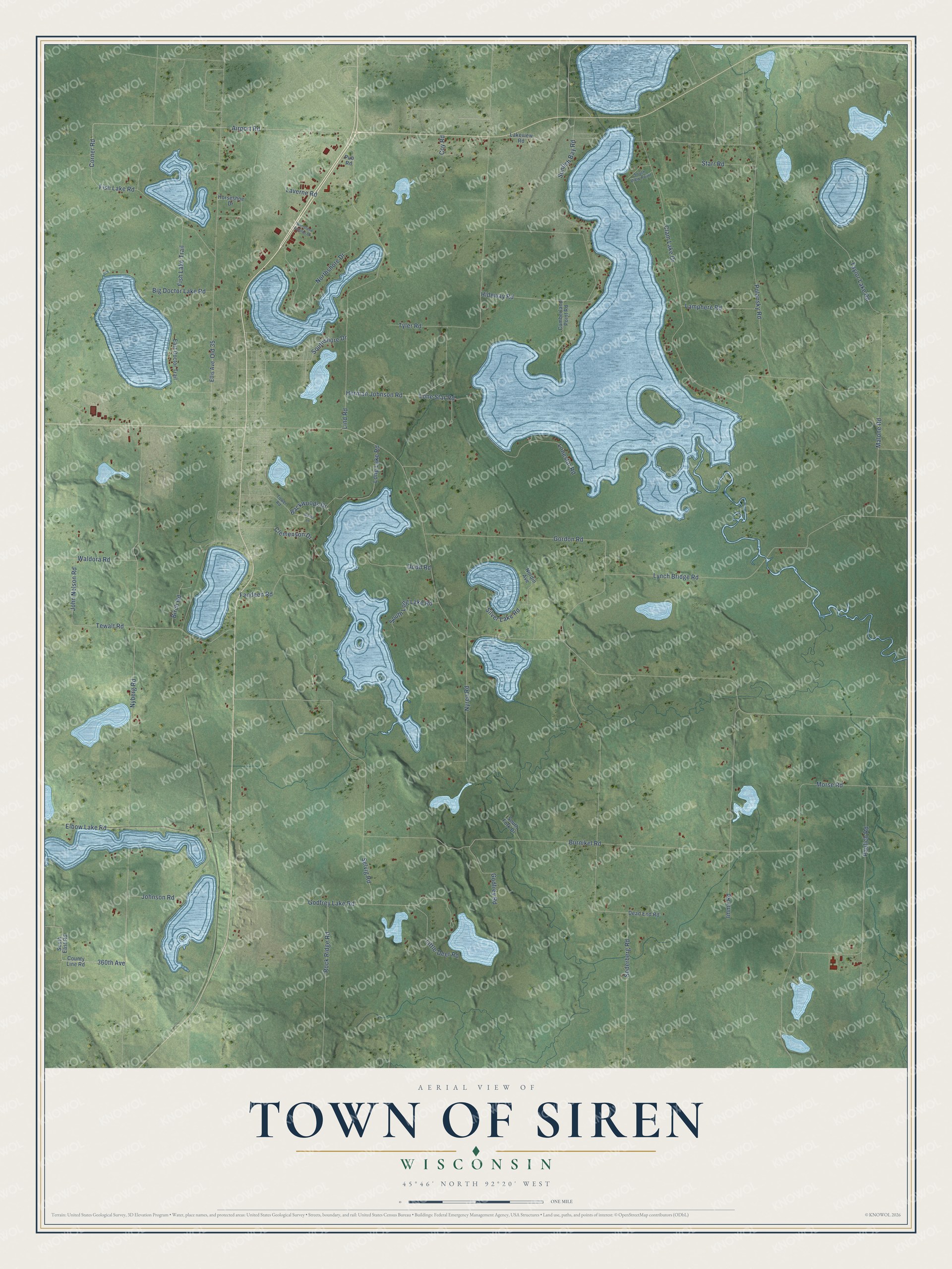
This beautifully detailed map of Siren, Wisconsin was created in 2026 using aerial imagery combined with modern topographical, census, street and landmark data. It's a modern aerial view of Siren in Burnett County, Wisconsin, that combines modern data with a vintage aesthetic. The roads feature printed names, and if you look closely you can find your exact house accurately shown in its correct location.
Explore an aerial view of Siren, Wisconsin
On this map you'll find Airport Road, Corner Road, 360th Avenue, Nyren Road, Burnikel Road, Clam Lake Drive, Nyberg Road, Lynch Bridge Road, Herman Johnson Road, Soderberg Road, Polansky Road, Lind Road, and more. Each red shape is a building, so zoom in on the preview and look for yours.
Siren has a story worth telling. The U.S. Geological Survey puts it this way: "The town, originally spelled Syren, was named by Charles P. Segerstrom in 1985 after the lilacs that grew near his home in Sweden."
Siren is a town in Burnett County. The Census Bureau counted 1,004 people here in 2020.
Take a closer look at the Siren map
Names on this map
These names are printed on this map.
Streets and roads: Airport Road, Corner Road, 360th Avenue, Nyren Road, Burnikel Road, Clam Lake Drive, Nyberg Road, Lynch Bridge Road, Herman Johnson Road, Soderberg Road, Polansky Road, Lind Road.
More street names, A to Z
Backwoods Drive, Big Doctor Lake Road, Birch Road, Clemenson Drive, County Line Road, Coy Road, Cumberland Point Road, Dead End Road, Dodd Road, East Doctor Trail, Elbow Lake Road, Ellis Avenue, Fandeen Road, Fish Lake Road, Fish Lake Trail, Godfrey Lake Road, Godfrey Road, Gordon Road, Hideway Road, Horseshoe Drive, Imme Road, John Nelson Road, Johnson Road, Lakeview Road, Lamphere Road, Laverne Road, Little Deer Road, Lonestar Road, Lone Star Road, Long Lake Road, Malone Road, Morse Road, Nordin Avenue, Northshore Drive, Old 35, Paulich Road, Pub Road, Ranch Lane, Rock Ridge Road, Selvig Road, Silver Lake Road, South East Road, South Fork Drive, South Long Lake Road, Southshore Drive, South View Point, Starr Road, Sunfish Bay Road, Taylor Lake Road, Tewalt Road, Tower Road, Tyler Road, Waldora Road, Woodland Estates Drive.
Created by KNOWOL in 2026. The buildings are small red shapes, the roads carry their printed names, and shaded relief shows the shape of the land. The title panel reads "AERIAL VIEW OF TOWN OF SIREN, WISCONSIN" with 45°46' NORTH 92°20' WEST.
It looks right in a kitchen, an office or a den, and it's a gift for anyone who grew up in Siren or moved away. Open the preview and find your street. See sizes and frames for the Town of Siren map.