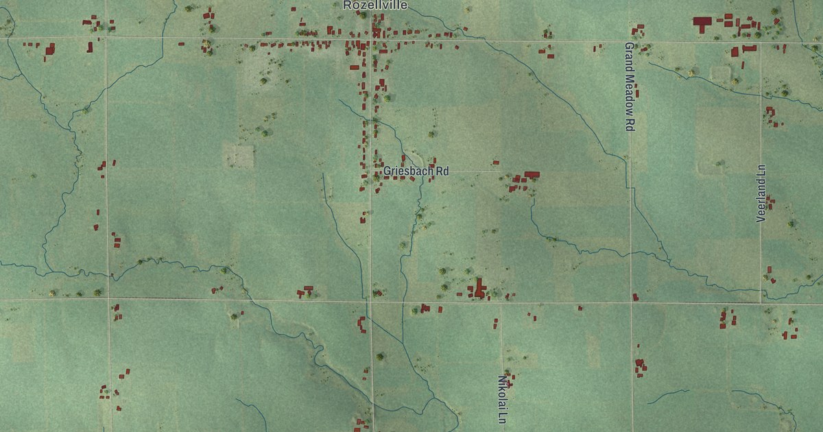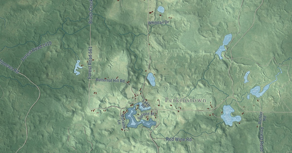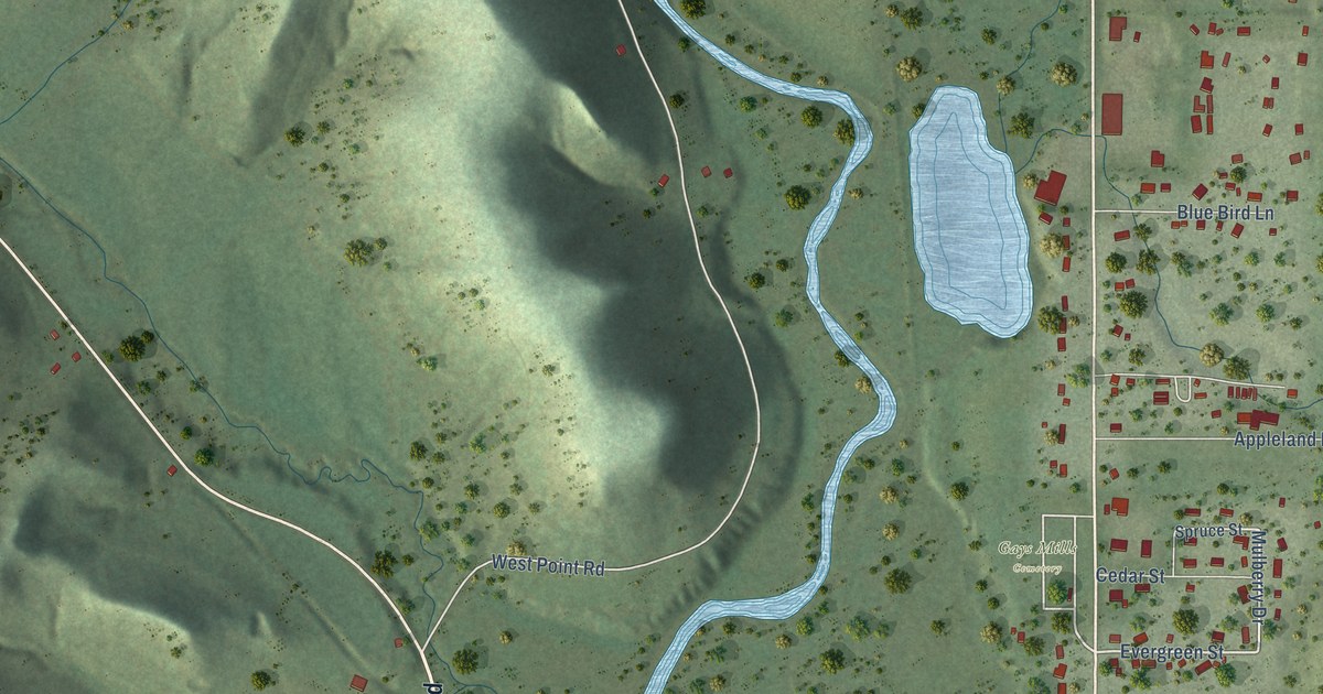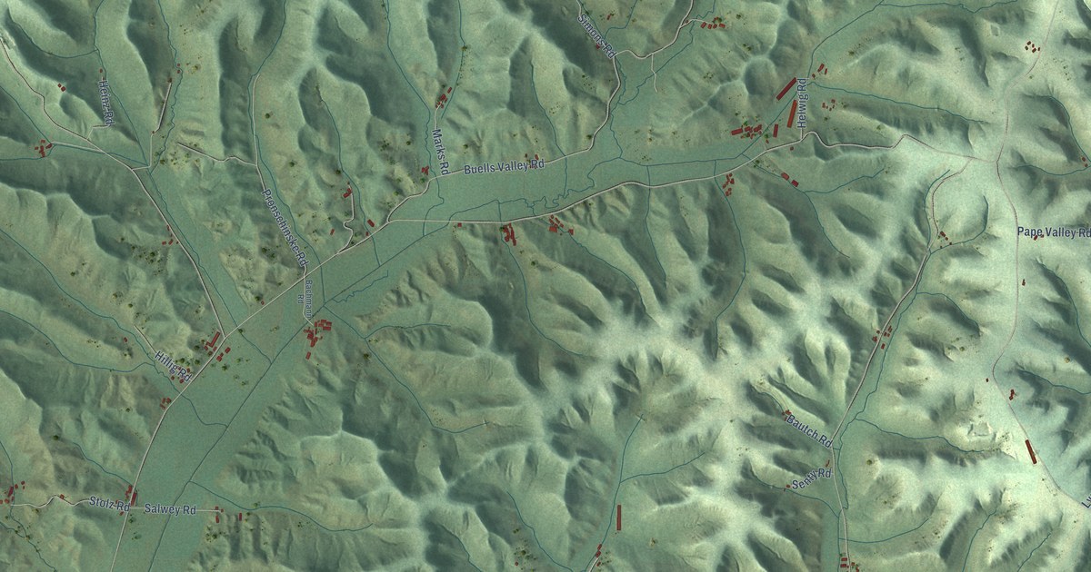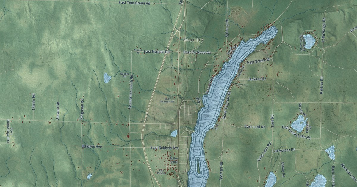
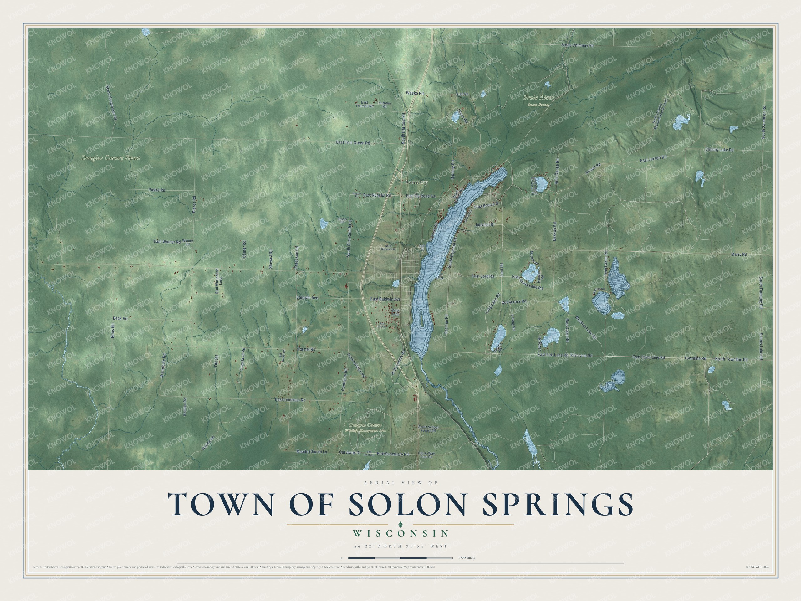
This beautifully detailed map of Solon Springs, Wisconsin was created in 2026 using aerial imagery combined with modern topographical, census, street and landmark data. It's a modern aerial view of Solon Springs in Douglas County, Wisconsin, that combines modern data with a vintage aesthetic. The roads feature printed names, and if you look closely you can find your exact house accurately shown in its correct location.
Explore an aerial view of Solon Springs, Wisconsin
On this map you'll find Sauntry, Brule River State Forest, Douglas County Wildlife Management Area, Douglas County Forest, Marry Road, Twin Lakes Road, East Town Line Road, Simms Lake Road, South Flamang Road, Lord Road, Long Lake Road, Townline Road, and more. Each red shape is a building, so zoom in on the preview and look for yours.
Solon Springs is a town in Douglas County. The Census Bureau counted 970 people here in 2020. The map prints the town name in its title panel, with the coordinates below it.
Take a closer look at the Solon Springs map
Names on this map
These names are printed on this map.
Places: Sauntry, Brule River State Forest, Douglas County Wildlife Management Area and Douglas County Forest.
Streets and roads: Marry Road, Twin Lakes Road, East Town Line Road, Simms Lake Road, South Flamang Road, Lord Road, Long Lake Road, Townline Road, North Townline Road, East Island Lake Road, Bakken Road, Cemetery Road.
More street names, A to Z
Ash Street, Baldwin Avenue, Bass Lake Road, Beck Road, Biller Loop, Bill Ramel Road, Bird Sanctuary, Bird Sanctuary Road, Brancel Road, Burma Road, Cheney Lake Road, Copeland Road, Cut-A-Way Dam Road, Cut Across Road, Cut Away Drive, East Baldwin Avenue, East County Road Aa, East Fire Lane Road, East Jersett Road, East Leusman Road, East Lord Road, East Nyquist Road, East Pettit Drive, East Scenic Drive, East Thorsell Road, East Tom Green Road, East Westerlund Loop, East Womer Road, Estway Road, Ferguson Road, Fire Lane Road, Gander Road, Geskey Road, Hanson Road, Harroun Road, Holly Lucius Road, Hruska Road, Jackson Drive, Jersett Road, Kiell Road, Lavoy Road, Meade Church Lane, Murphy Road, Muskrat Lake Road, North Boundary Road, North Country National Scenic Trail, Nyquist Road, Ohmer Road, Olson Road, Ossman Road, Paske Road, Pierce Road, Ramel Road, Rifle Range Road, Roos Road, Savoy Road, Sjoberg Road, South Batting Loop, South Ellen Smith Road, South Engstad Road, South Gregerson Road, South Harroun Road, South Jackson Drive, South Lake of the Woods Road, South Nakoda Road, South Sandmon Road, South School Forest Road, Stewart Road, Stone Chimney Road, Tab Road, Warring Road, Wasko Road, Waterbury Road, Womer Road.
Created by KNOWOL in 2026. The buildings are small red shapes, the roads carry their printed names, and shaded relief shows the shape of the land. The title panel reads "AERIAL VIEW OF TOWN OF SOLON SPRINGS, WISCONSIN" with 46°22' NORTH 91°54' WEST.
Hang it in the hallway, the office or the cabin, or give it to someone who left Solon Springs and still calls it home. Open the preview and look for a street you know. See sizes and frames for the Town of Solon Springs map.