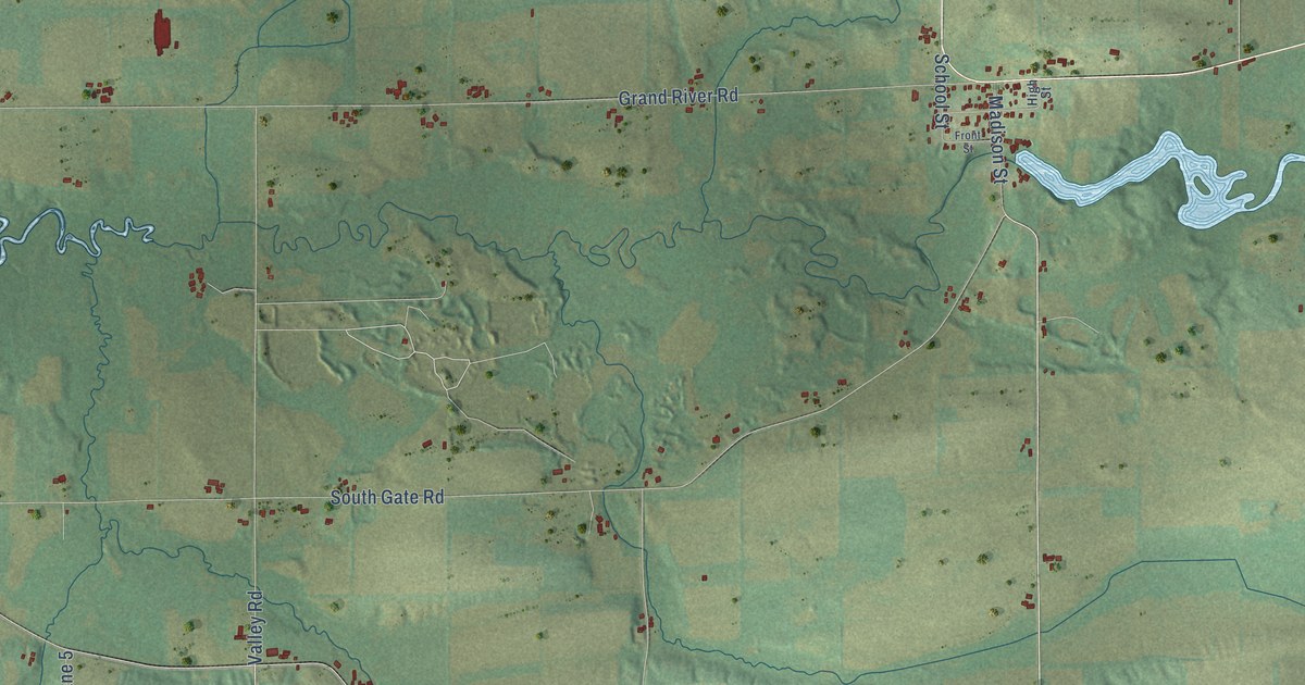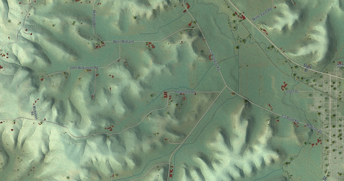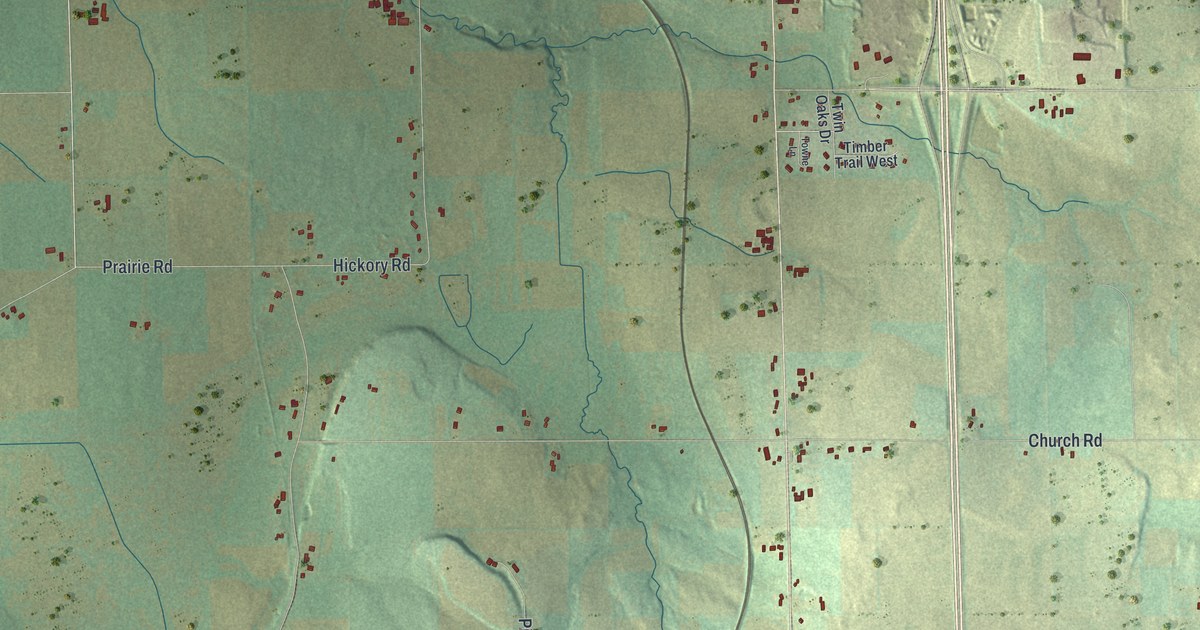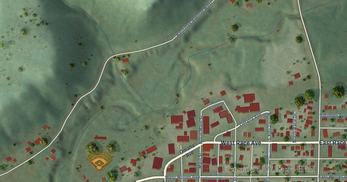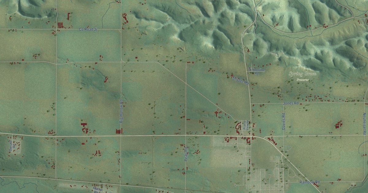
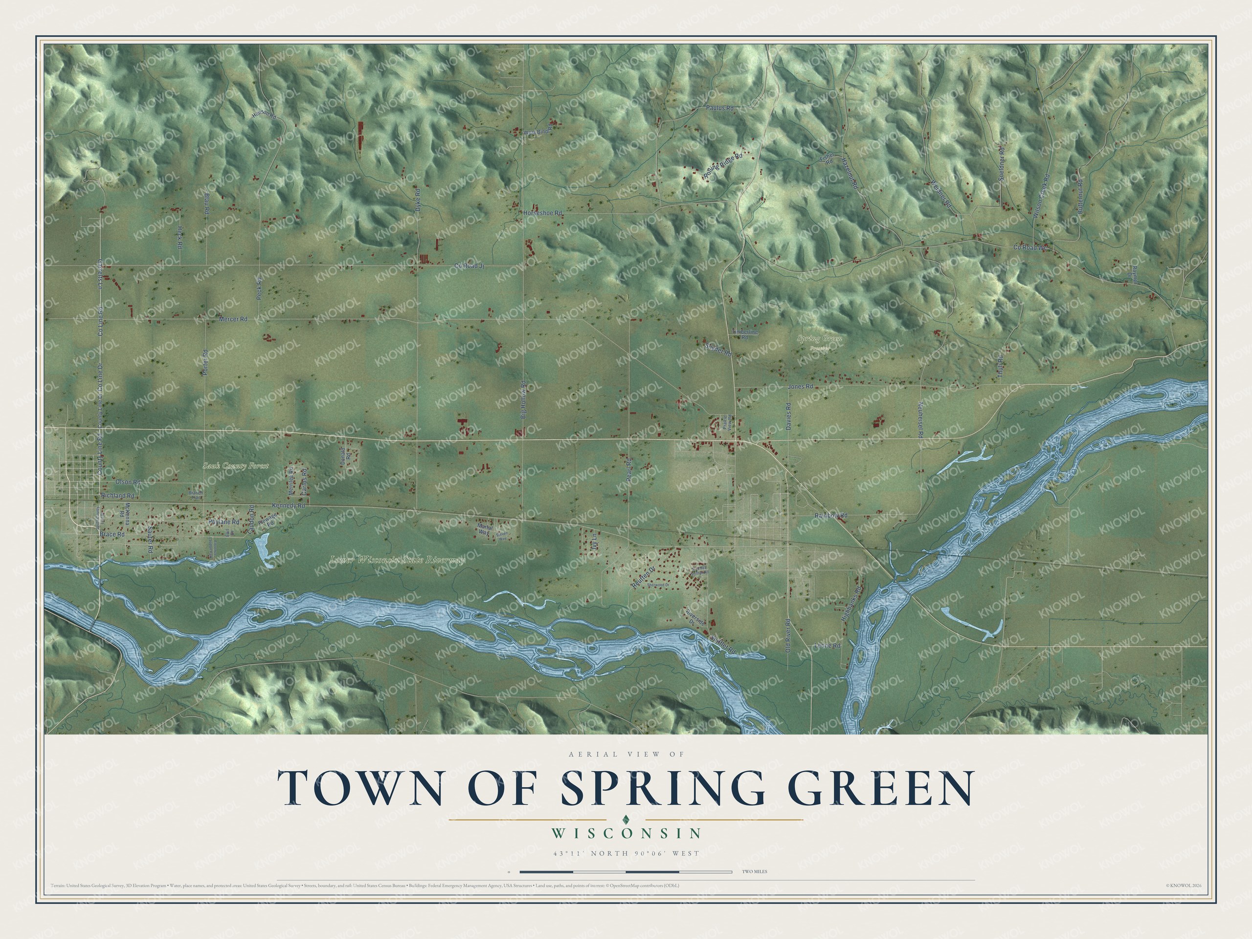
This beautifully detailed map of Spring Green, Wisconsin was created in 2026 using aerial imagery combined with modern topographical, census, street and landmark data. It's a modern aerial view of Spring Green in Sauk County, Wisconsin, that combines modern data with a vintage aesthetic. The roads feature printed names, and if you look closely you can find your exact house accurately shown in its correct location.
Explore an aerial view of Spring Green, Wisconsin
On this map you'll find Lower Wisconsin State Riverway, Sauk County Forest, Spring Green Preserve, County Line Road, Blau Road, Co Line Drive, Co Line Road, Kennedy Road, Garrelts Lane, Mercer Road, Laudon Road, Co Road Wc, and more. Each red shape is a building, so zoom in on the preview and look for yours.
Every town has a first chapter, and Spring Green is no exception. The Sauk County History puts it this way: "The first marriage in the town occurred March 4, 1847, when James Taylor, now living in the town of Spring Green, was married to Phebe Harris."
Spring Green is a town in Sauk County. The Census Bureau counted 1,828 people here in 2020.
Take a closer look at the Spring Green map
Names on this map
These names are printed on this map.
Places: Lower Wisconsin State Riverway, Sauk County Forest, Spring Green Preserve and Florence Laudon Park.
Streets and roads: County Line Road, Blau Road, County Line Drive, Kennedy Road, Garrelts Lane, Mercer Road, Laudon Road, County Road Wc, County Road Jj, Porter Road, Dyke Road, Pearl Road.
More street names, A to Z
Big Hollow Road, Brace Road, Branch Trail, Butternut Road, Carlos Road, Davies Road, Donald Road, Earl Drive, Fisher Road, Flowage Road, Hanson Road, Hazelnut Road, Heck Road, Highbanks Road, Horseshoe Road, Ivy Lane, Jones Road, Leone Road, Martal Way, McKenna Road, Merrilee Road, Neuheisel Road, Old River Road, Olson Road, Paulus Road, Peck Road, Phylane Road, Prairie View Road, Rainbow Road, Raymer Drive, Reutten Drive, Richland Road, Riverside Drive, Rolling Ridge Road, S-12985 Shifflet Road, Sauter Road, Sherwood Drive, Shifflet Road, Snyder Road, Soeldner Road, South County Line Drive, Steven Way, Thuli Road, Timberline Road, Weidner Road, West Bindl Road, Wilson Creek Road.
Created by KNOWOL in 2026. The buildings are small red shapes, the roads carry their printed names, and shaded relief shows the shape of the land. The title panel reads "AERIAL VIEW OF TOWN OF SPRING GREEN, WISCONSIN" with 43°11' NORTH 90°06' WEST.
Hang it in the hallway, the office or the cabin, or give it to someone who left Spring Green and still calls it home. Open the preview and look for a street you know. See sizes and frames for the Town of Spring Green map.