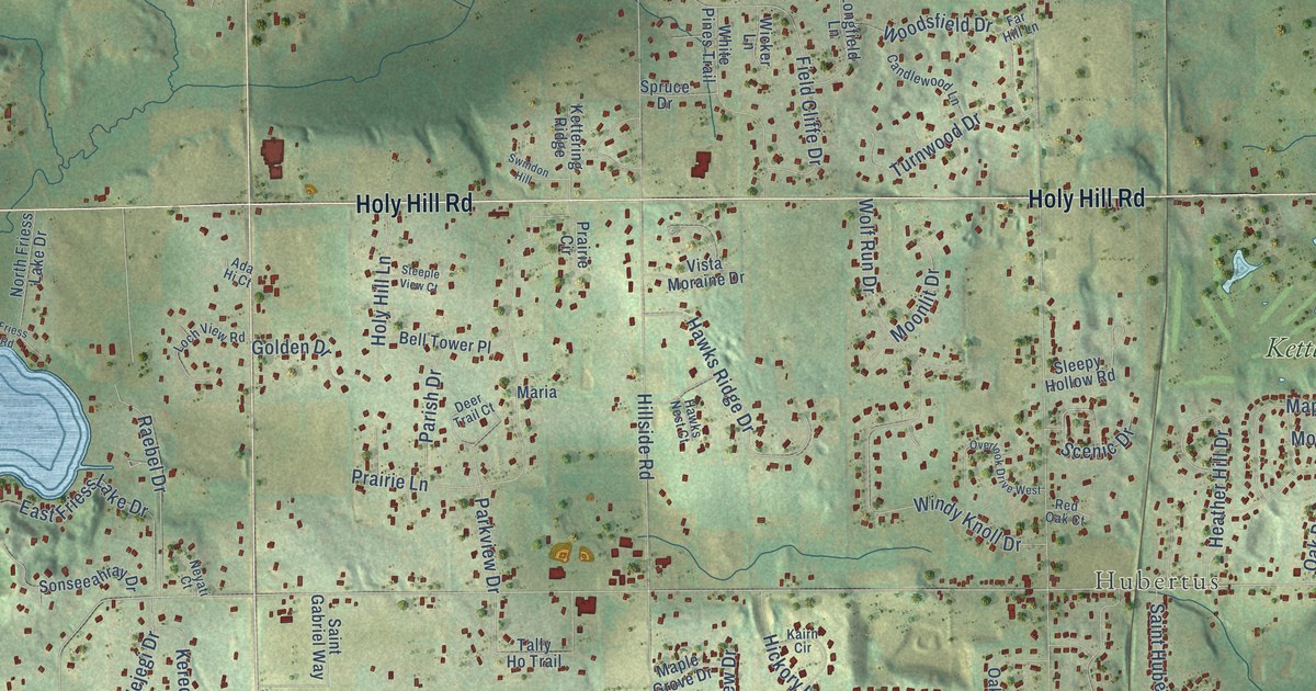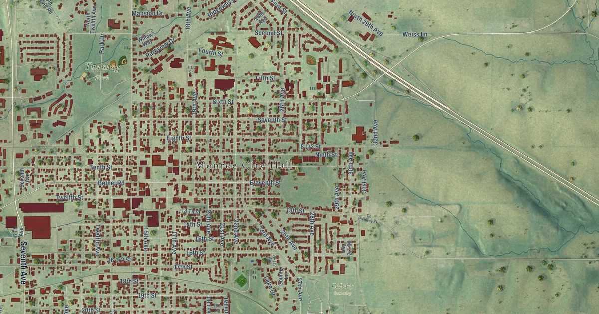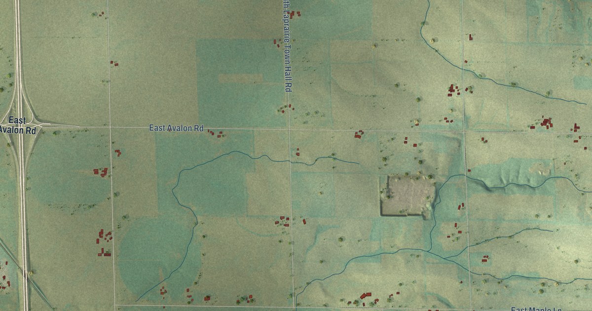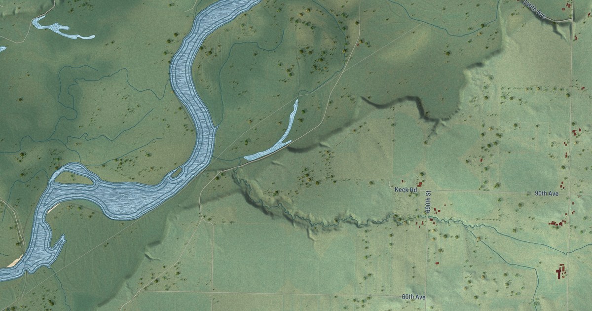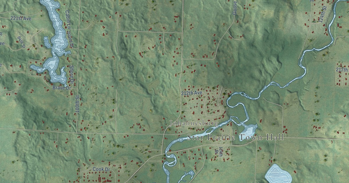
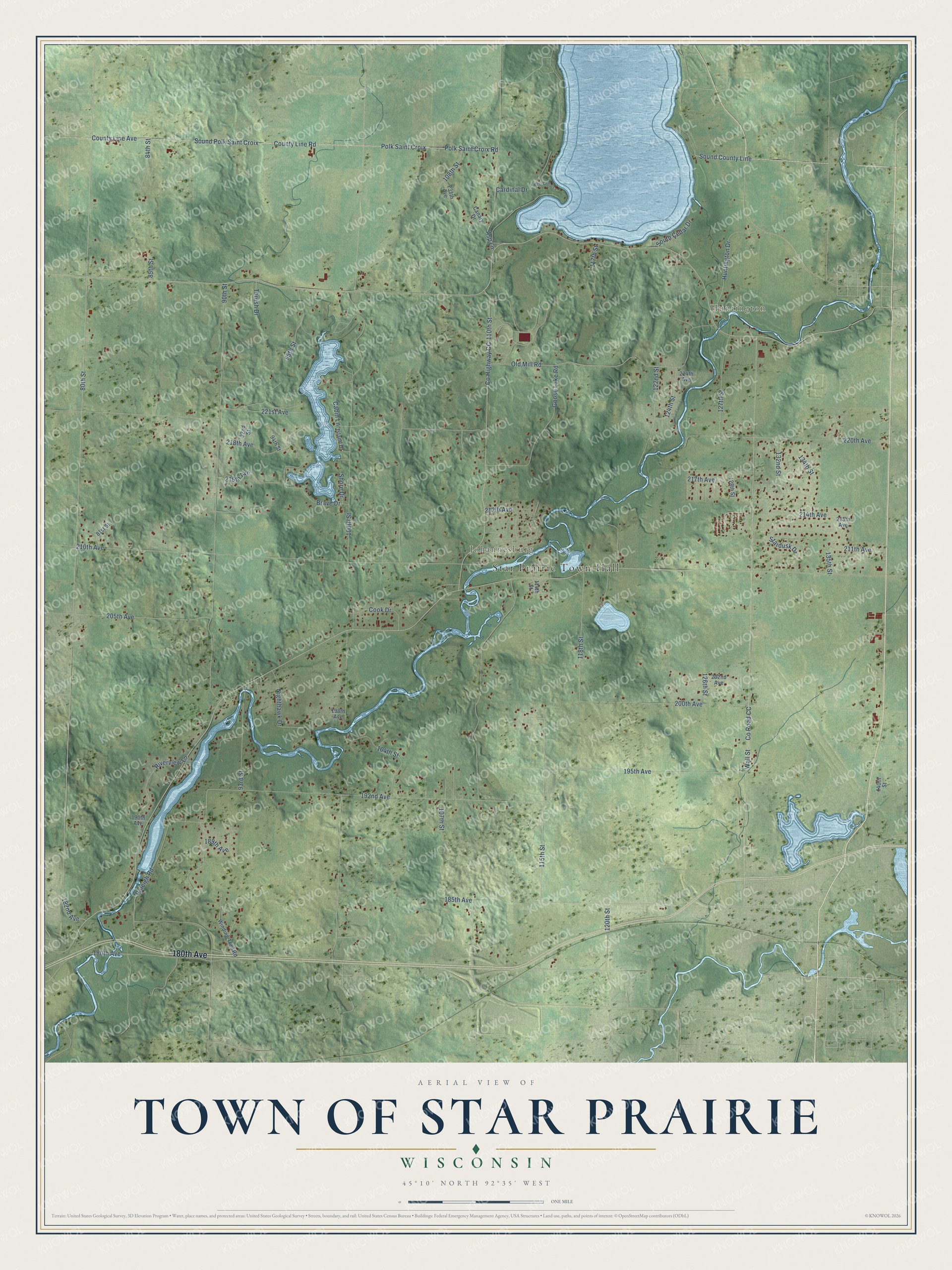
This beautifully detailed map of Star Prairie, Wisconsin was created in 2026 using aerial imagery combined with modern topographical, census, street and landmark data. It's a modern aerial view of Star Prairie in St. Croix County, Wisconsin, that combines modern data with a vintage aesthetic. The roads feature printed names, and if you look closely you can find your exact house accurately shown in its correct location.
Explore an aerial view of Star Prairie, Wisconsin
On this map you'll find Star Prairie Town Hall, Huntington, Johannesburg, 180th Avenue, Polk Saint Croix, County Line Road, Sound Polk Saint Croix, 80th Street, 110th Street, 185th Avenue, 90th Street, 115th Street, and more. Each red shape is a building, so zoom in on the preview and look for yours.
Every town has a first chapter, and Star Prairie is no exception. The Town of Star Prairie puts it this way: "The Town of Star Prairie was created July 28, 1856. It was settled by German, Norwegian, Irish, French, English and Polish immigrants."
Star Prairie is a town in St. Croix County. The Census Bureau counted 3,733 people here in 2020.
Take a closer look at the Star Prairie map
Names on this map
These names are printed on this map.
Places: Star Prairie Town Hall, Huntington and Johannesburg.
Streets and roads: 180th Avenue, Polk Saint Croix, County Line Road, Sound Polk Saint Croix, 80th Street, 110th Street, 185th Avenue, 90th Street, 115th Street, County Road CC, 120th Street, 221st Avenue.
More street names, A to Z
81st Street, 84th Street, 85th Street, 92nd Street, 93rd Street, 94th Street, 95th Street, 100th Street, 104th Street, 107th Street, 108th Street, 114th Street, 117th Street, 118th Street, 122nd Street, 124th Street, 126th Street, 127th Street, 128th Street, 132nd Street, 134th Street, 135th Street, 140th Street, 182nd Avenue, 189th Avenue, 190th Avenue, 192nd Avenue, 195th Avenue, 198th Avenue, 200th Avenue, 202nd Avenue, 205th Avenue, 210th Avenue, 211th Avenue, 212th Avenue, 213th Avenue, 214th Avenue, 216th Avenue, 217th Avenue, 218th Avenue, 220th Avenue, 224th Avenue, 238th Avenue, Asp Lane, Brave Drive, Cabin Lane, Canary Drive, Cardinal Drive, Cook Drive, County Highway CC, County Line Avenue, Goose Lake Road, Huntington Drive, Island Drive, Nighthawk Drive, Old Mill Road, Polk Saint Croix Road, Raleigh Road, Riverview Lane, Shore Drive, Sound County Line, South Cedar Drive, Stardusk Drive, Thrush Drive, Wall Street, West Cedar Lane, Winding Trail Road.
Created by KNOWOL in 2026. The buildings are small red shapes, the roads carry their printed names, and shaded relief shows the shape of the land. The title panel reads "AERIAL VIEW OF TOWN OF STAR PRAIRIE, WISCONSIN" with 45°10' NORTH 92°35' WEST.
Hang it in the hallway, the office or the cabin, or give it to someone who left Star Prairie and still calls it home. Open the preview and look for a street you know. See sizes and frames for the Town of Star Prairie map.