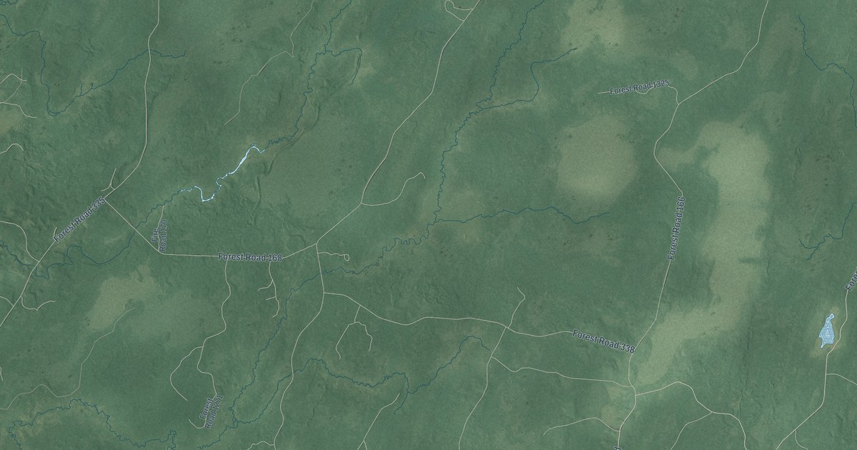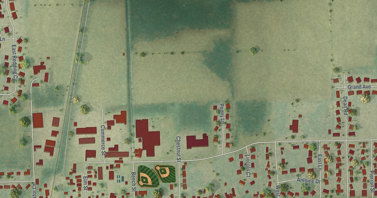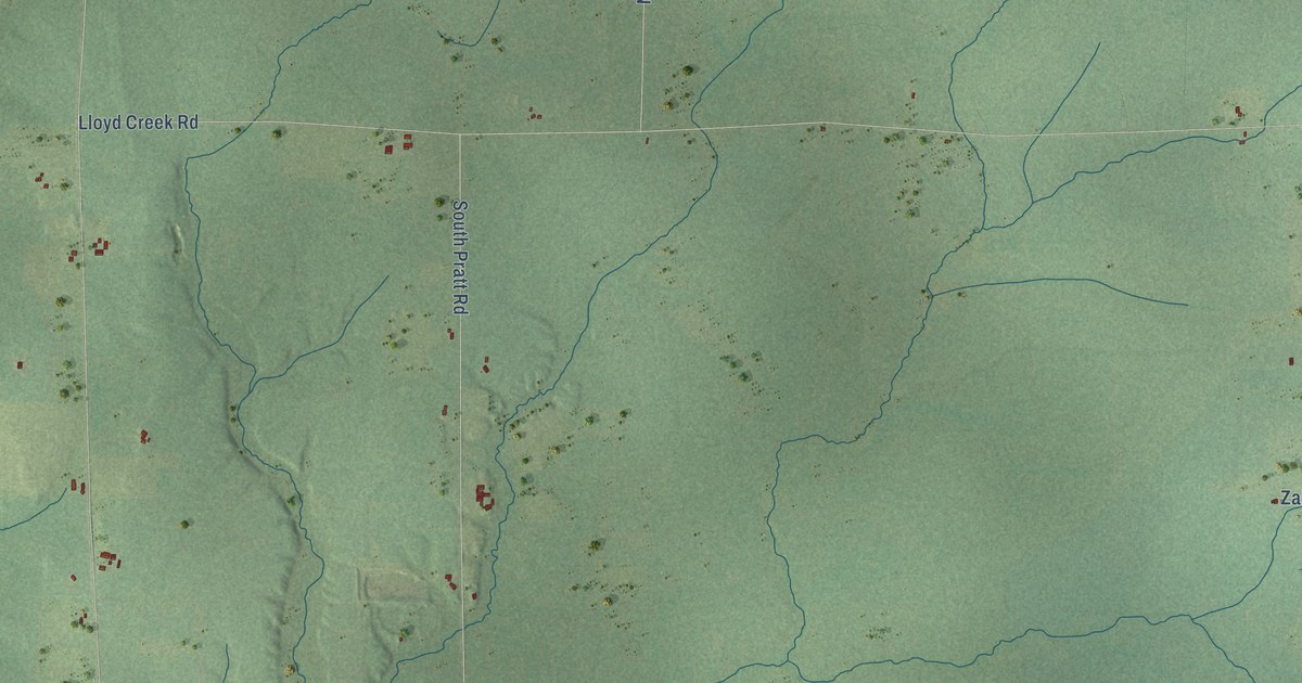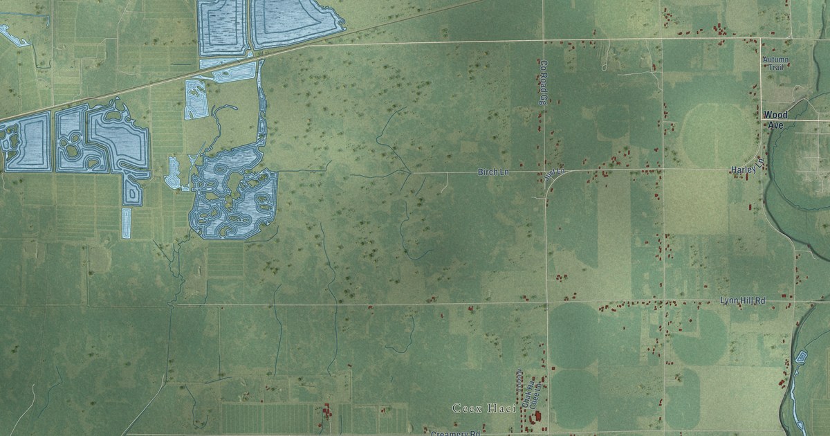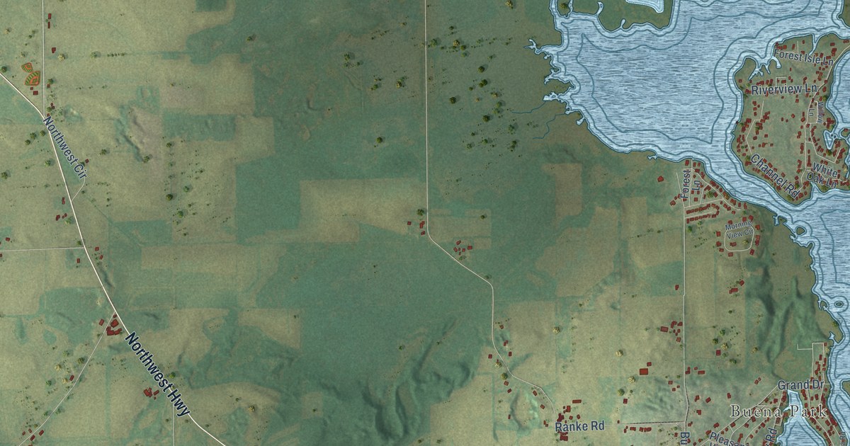
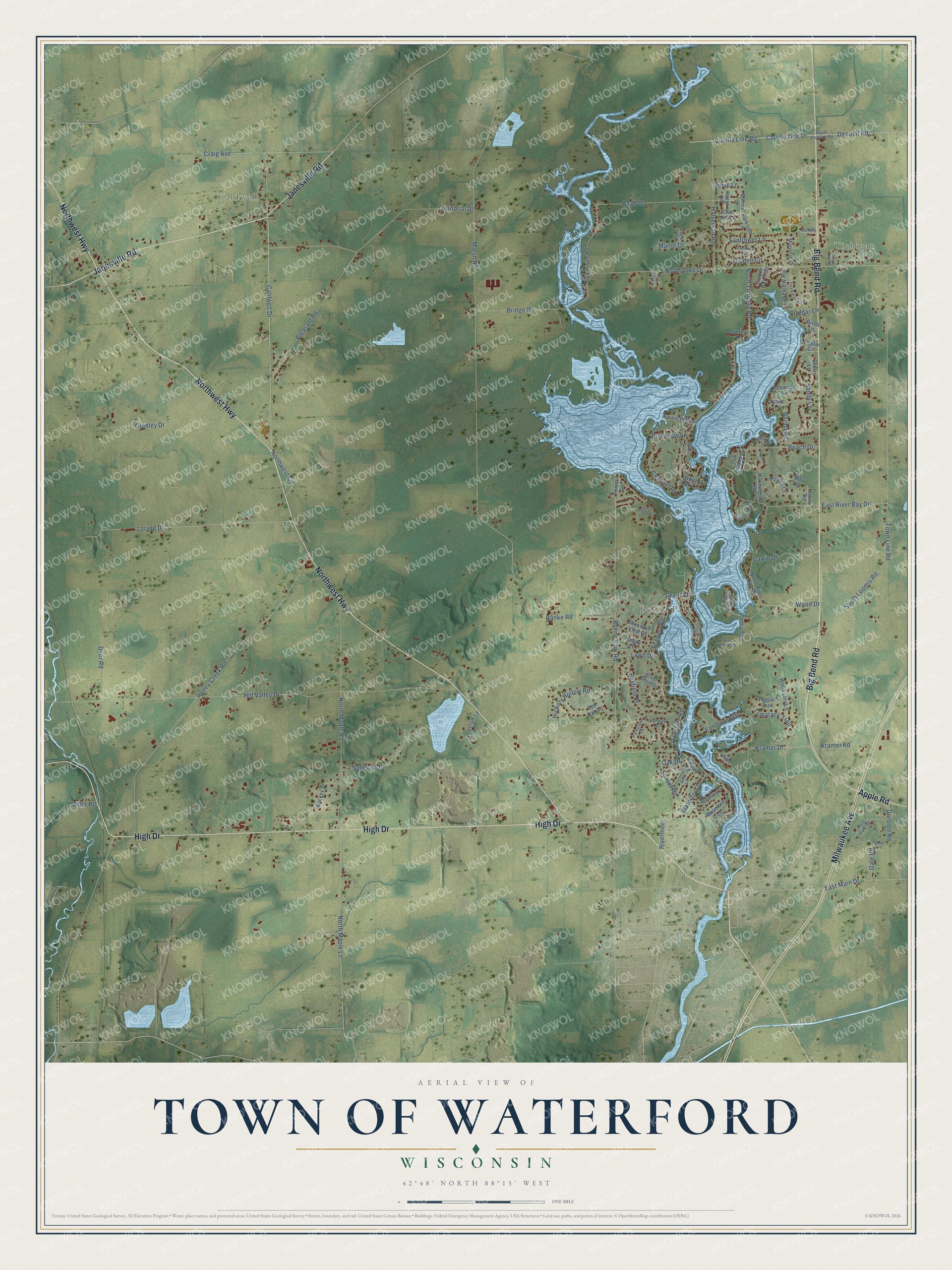
This beautifully detailed map of Waterford, Wisconsin was created in 2026 using aerial imagery combined with modern topographical, census, street and landmark data. It's a modern aerial view of Waterford in Racine County, Wisconsin, that combines modern data with a vintage aesthetic. The roads feature printed names, and if you look closely you can find your exact house accurately shown in its correct location.
Explore an aerial view of Waterford, Wisconsin
On this map you'll find Tichigan, Caldwell, Buena Park, High Drive, Big Bend Road, Janesville Road, Northwest Highway, Milwaukee Avenue, Apple Road, Kramer Drive, Riverside Road, Bridge Drive, and more. Each red shape is a building, so zoom in on the preview and look for yours.
Every town has a first chapter, and Waterford is no exception. The Internet Archive puts it this way: "The year of grace 1836, witnessed the arrival of the first white men in what is now the
village of Waterford, in the persons of Mr."
Waterford is a town in Racine County. The Census Bureau counted 6,514 people here in 2020.
Take a closer look at the Waterford map
Names on this map
These names are printed on this map.
Places: Tichigan, Caldwell and Buena Park.
Streets and roads: High Drive, Big Bend Road, Janesville Road, Northwest Highway, Milwaukee Avenue, Apple Road, Kramer Drive, Riverside Road, Bridge Drive, County Line Drive, County Line Road, Rivermoor.
More street names, A to Z
Apple Tree Lane, Arrow Road, Bayfield Drive, Beach Drive, Beachview Lane, Birch Lane, Bonnie Lane, Briarwood Circle, Buckey Street, Buena Park Road, Burma Lane, Burma Road, Caldwell Drive, Cardinal Court, Cedar Lane, Channel Road, Craig Avenue, Deer Road, Denoon Road, Division Road, Eagle Lane, East Main Drive, East Peninsula Road, East River Bay Drive, Elm Island Drive, Empire Lane, Fairway Drive, Fir Lane, Forest Isle Lane, Forest Lane, Fox River Road, Foxwater Boulevard, Frasier Trail, Gale Road, Gawin Drive, Golden Bay Trail, Golden Circle, Golf Lane, Grand Drive, Greeley Drive, Grove Lane, Halverson Road, Hazel Lane, Hickory Hollow Road, Hillside Road, Hillstone Court, Hill Valley Drive, Honey Creek Road, Idlewood Lane, Indian Lane, Irma Lane, Island View Court, Kasper Parkway, Kramer Road, Lakeview Road, Lawn Drive, Loland Drive, Mamerow Lane, Manor Drive, Marjorie Drive, Marsh Road, Martha Court, Melody Lane, Miller Road, Morning View Circle, Mountain Lane, North Lake Drive, North Maple Lane, North Maple Road, North River Bay Road, North Tichigan Road, Northwest Circle, Oak Drive, Oak Hill Lane, Oak Island Lane, Parkside Lane, Parkview Drive, Pleasant Road, Pleasant View Drive, Poplar Circle, Raab Drive, Ranke Road, Ray Drive, Red Oak Lane, River Bend Drive, Riverview Lane, Sandy Lane, Scenery Road, Shady Lane, Sherry Lane, Small Lane, South Denoon Road, South Loomis Road, Sunburst Court, Sunflower Lane, Sunrise Lane, Sunset Road, Tamarack Trail, Territorial Drive, Town Line Road, War Bonnet Lane, Washington Road, Waterford Drive, West Gale Circle, White Oak Lane, Willow Lane, Wood Drive, Wood Lilly Lane.
Created by KNOWOL in 2026. The buildings are small red shapes, the roads carry their printed names, and shaded relief shows the shape of the land. The title panel reads "AERIAL VIEW OF TOWN OF WATERFORD, WISCONSIN" with 42°48' NORTH 88°15' WEST.
Hang it in the hallway, the office or the cabin, or give it to someone who left Waterford and still calls it home. Open the preview and look for a street you know. See sizes and frames for the Town of Waterford map.