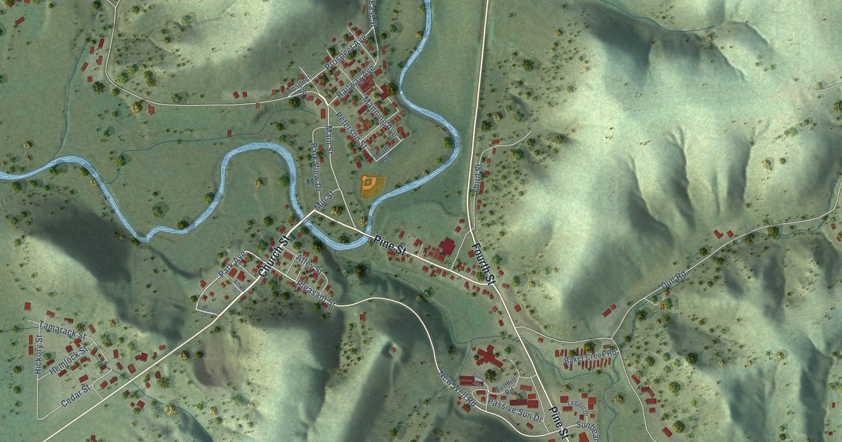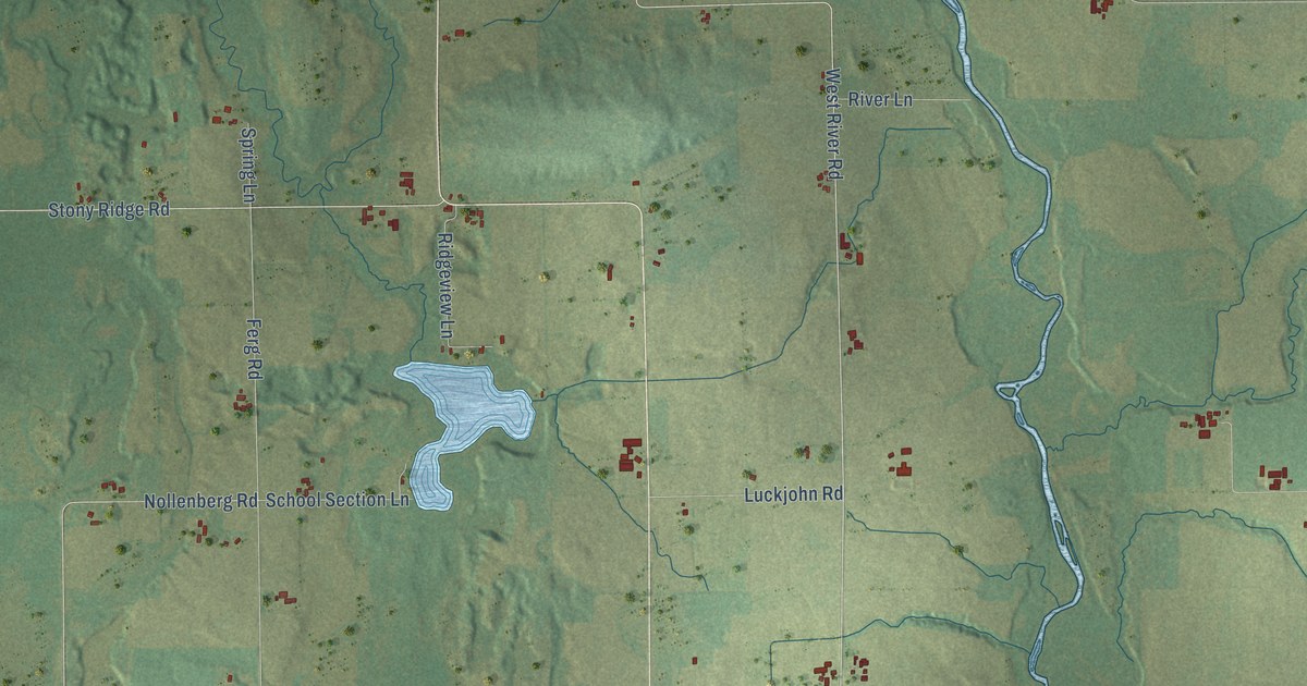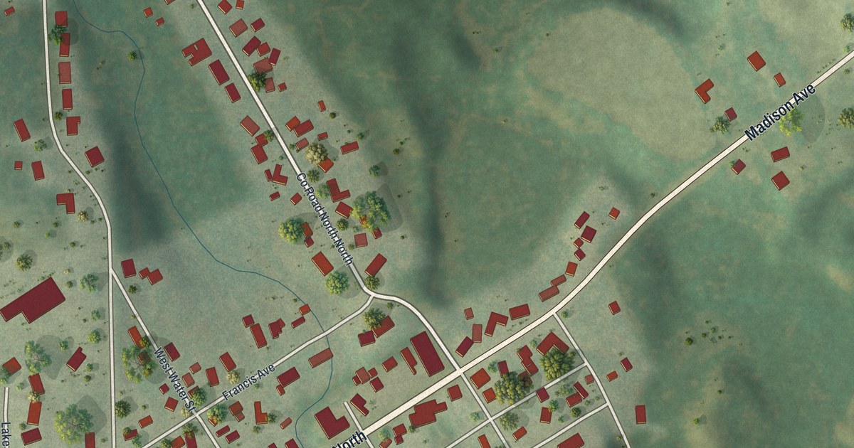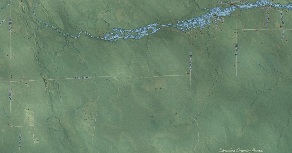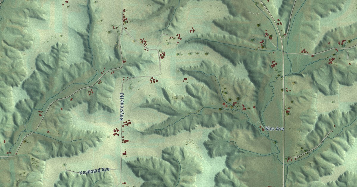
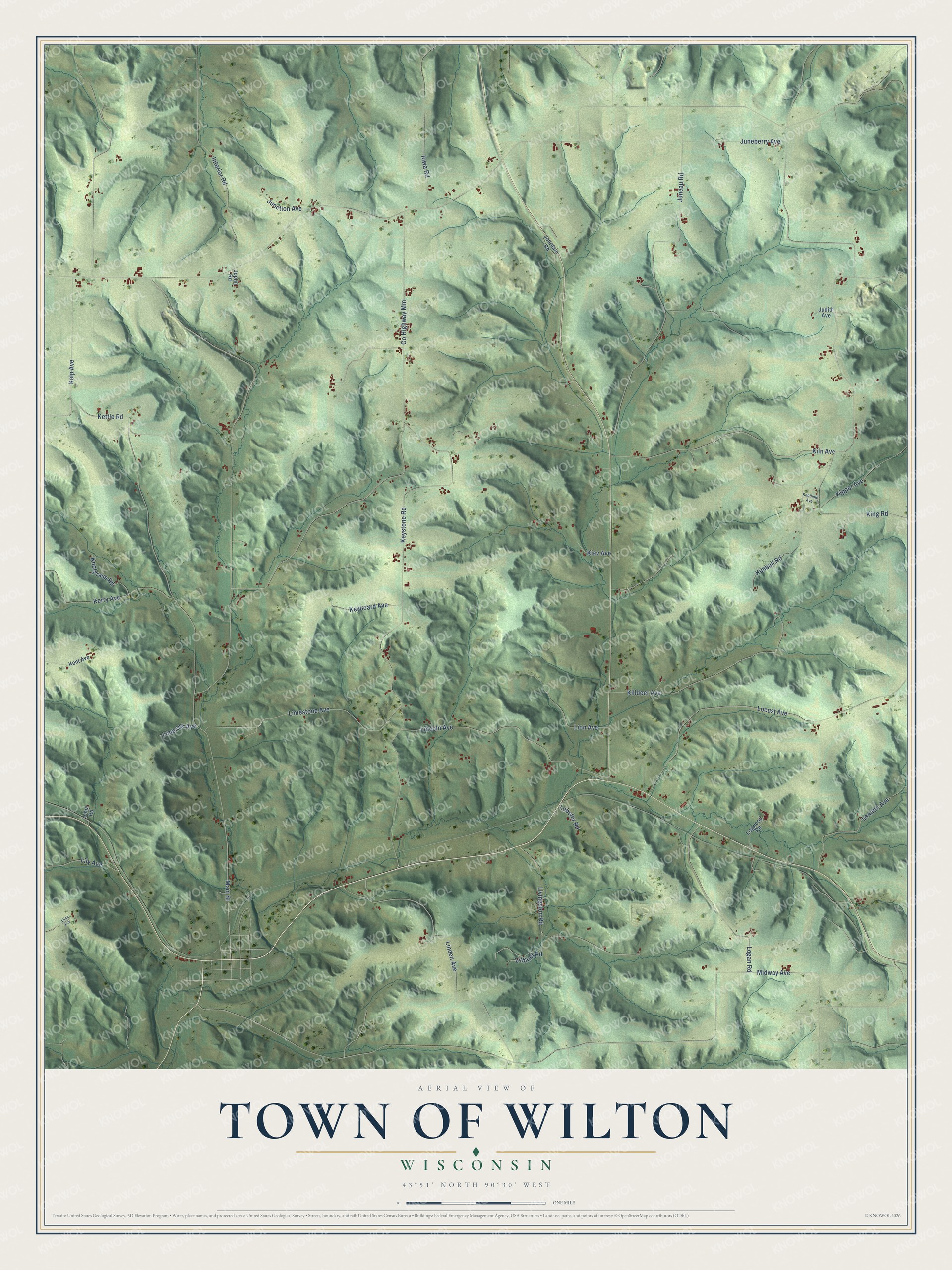
This beautifully detailed map of Wilton, Wisconsin was created in 2026 using aerial imagery combined with modern topographical, census, street and landmark data. It's a modern aerial view of Wilton in Monroe County, Wisconsin, that combines modern data with a vintage aesthetic. The roads feature printed names, and if you look closely you can find your exact house accurately shown in its correct location.
Explore an aerial view of Wilton, Wisconsin
On this map you'll find King Road, Keystone Road, Co Highway Mm, Kettle Road, Juneau Road, Locust Avenue, Kiln Avenue, Lincoln Avenue, Limestone Avenue, Killdeer Avenue, Livingston Road, Logan Road, and more. Each red shape is a building, so zoom in on the preview and look for yours.
Here is a piece of Wilton history, in the words of the record. The Monroe County History puts it this way: "Mr. Bartels was full of ambition and ready to assist in every enterprise that could be brought about in those days. He organized one of the first schools in Wilton township, in fact, he was a prime mover in bringing the township to the front as near as could be attained at that time."
Wilton is a town in Monroe County. The Census Bureau counted 963 people here in 2020.
Take a closer look at the Wilton map
Names on this map
These names are printed on this map.
Streets and roads: King Road, Keystone Road, County Highway Mm, Kettle Road, Juneau Road, Locust Avenue, Kiln Avenue, Lincoln Avenue, Limestone Avenue, Killdeer Avenue, Livingston Road, Logan Road.
More street names, A to Z
Interior Road, Iowa Road, Joplin Road, Jourdain Road, Judith Avenue, Junction Avenue, Juneberry Avenue, Kelp Avenue, Kent Avenue, Kerry Avenue, Keyboard Avenue, Kiev Avenue, Kimball Road, Kipper Avenue, Knotgrass Road, Knothole Avenue, Lilac Avenue, Lily Avenue, Lima Road, Limerick Avenue, Linden Avenue, Lion Avenue, Lithium Road, Lobster Road, Logwood Road, London Avenue, Main Street, Midway Avenue.
Created by KNOWOL in 2026. The buildings are small red shapes, the roads carry their printed names, and shaded relief shows the shape of the land. The title panel reads "AERIAL VIEW OF TOWN OF WILTON, WISCONSIN" with 43°51' NORTH 90°30' WEST.
It suits a den, a classroom or a front hall, and it makes a gift for anyone with Wilton roots. Open the preview and find the block you know. See sizes and frames for the Town of Wilton map.