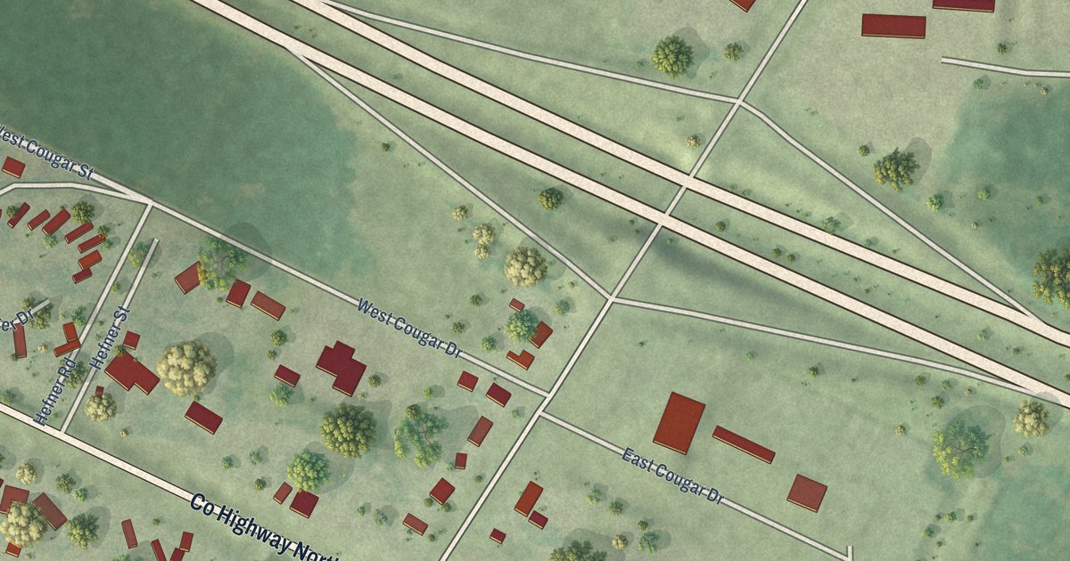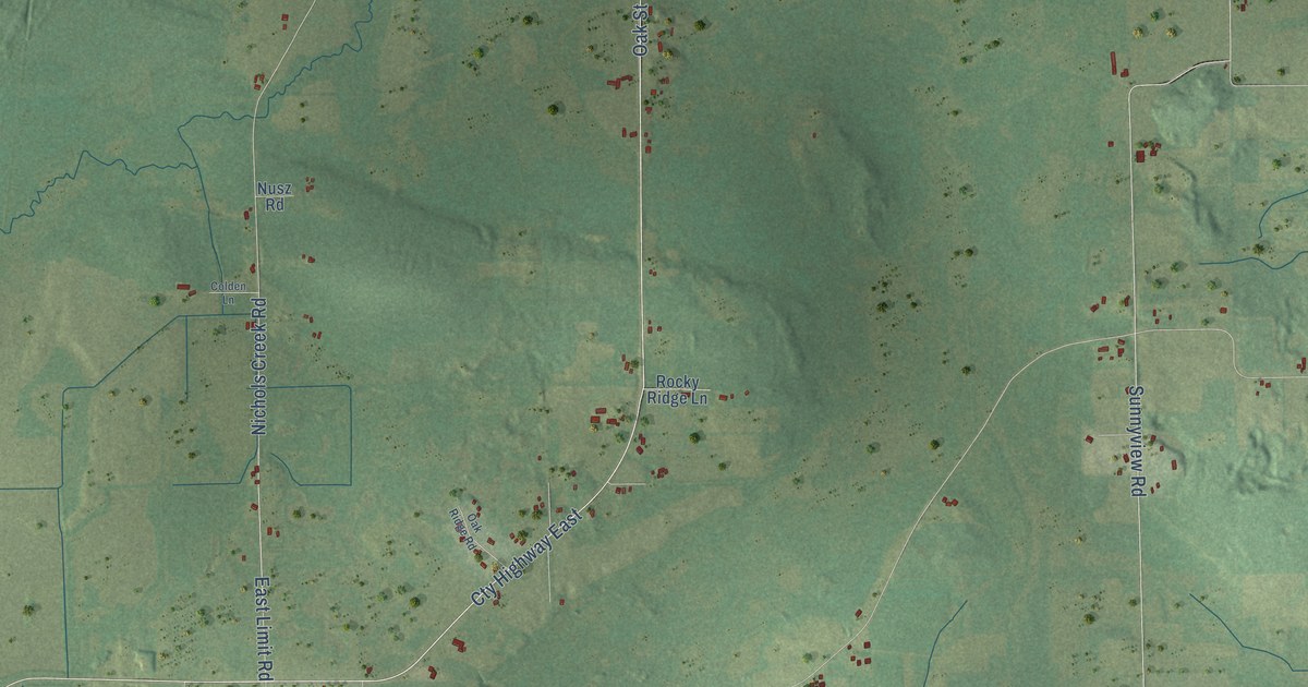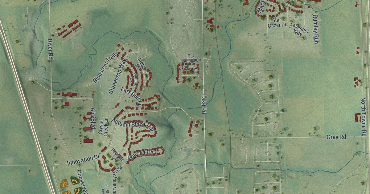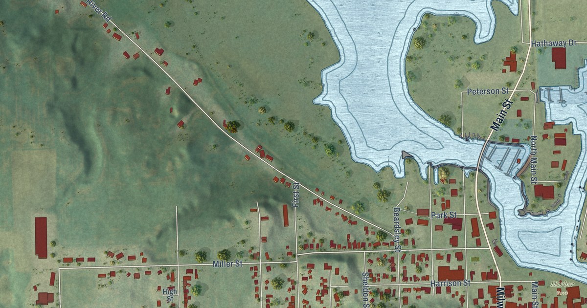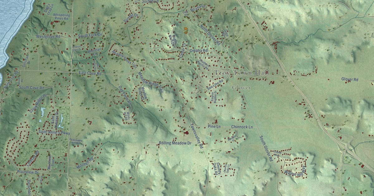
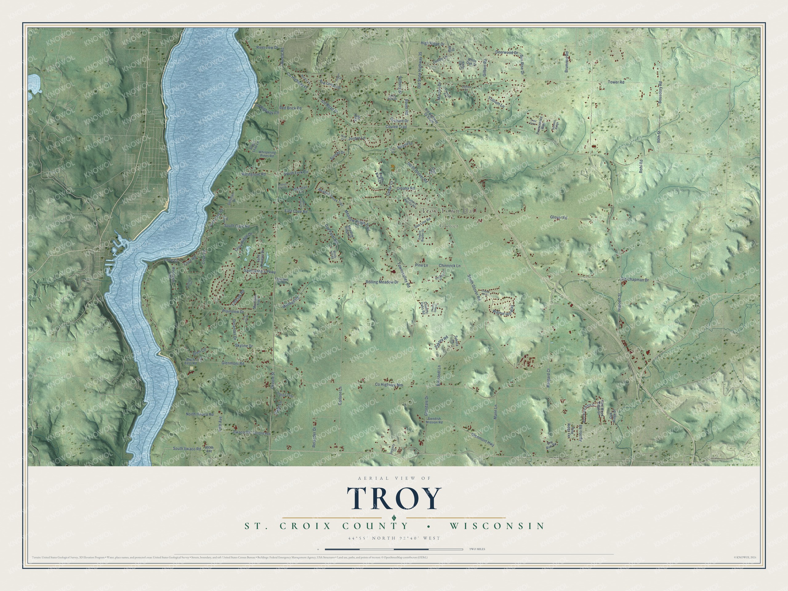
This beautifully detailed map of Troy, Wisconsin was created in 2026 using aerial imagery combined with modern topographical, census, street and landmark data. It's a modern aerial view of Troy in St. Croix County, Wisconsin, that combines modern data with a vintage aesthetic. The roads feature printed names, and if you look closely you can find your exact house accurately shown in its correct location.
Explore an aerial view of Troy, Wisconsin
On this map you'll find Troy Town Hall, Glover, Mann Valley Farm, Okeefe Street, Okeefe Road, Cove Road, East Cove Road, South Ilwaco Road, Ilwaco Road, Jordyn Lane, Co Highway Mm, Tower Road, and more. Each red shape is a building, so zoom in on the preview and look for yours.
Troy is a town in St. Croix County. The Census Bureau counted 5,518 people here in 2020. The map prints the town name in its title panel, with the coordinates below it.
Take a closer look at the Troy map
Names on this map
These names are printed on this map.
Places: Troy Town Hall, Glover and Mann Valley Farm.
Streets and roads: Okeefe Street, Okeefe Road, Cove Road, East Cove Road, South Ilwaco Road, Ilwaco Road, Jordyn Lane, County Highway Mm, Tower Road, Coulee Trail, Townsvalley Road, South Glover Road.
More street names, A to Z
90th Street, 890th Avenue, Ahrens Road, Apollo Road, Bauer Road, Bjerstedt Lane, Black Bass Road, Boundary Road, Briana Lane, Brick Circle, Brummel Road, Carlson Lane, Cedar Court, Chinnock Lane, Cody Road, Country Oaks Lane, Country Oaks Road, County Highway Ff, County Highway Fff, County Road Ff, Cove Court, Cove Lane, Crest Curve, Croix Ridge Drive, Day Farm Road, Deer Valley Drive, Deerwood Drive, Delander Drive, Dry Run Road, Eagle Bluff Drive, East Wood Ridge Drive, Empire Builder Drive, English Court Drive, Fifth Avenue, Frances Avenue, Gilbert Road, Glen Circle, Glen Court, Glendale Drive, Glen Lane, Glenmont Highway, Glenmont Road, Glover Road, High Ridge Drive, Huppert Street, Indigo Trail, Lindsay Road, Longview Trail, Lundy Lane, Mann Lane, Marson Drive, Meadow Ridge Court, Meadow Ridge Trail, Meadow Valley Trail, Melgard Court, Mitchell Road, Muirfield Trail, New Century Drive, Nordic Lane, North Cove Road, North Glover Road, North Ilwaco Road, Oak Drive, Oakley Circle, Oak Ridge Drive, Old Chapman Drive, Old Highway 35 South, Old State Highway 35, Omaha Road, Orchard Drive, Page Lane, Peaceable Hill Road, Pine Lane, Pine Ridge Terrace, Plainview Drive, Prominence Way, Red Brick Road, Relander Drive, Riverview Drive, Rohl Road, Rolling Meadow Drive, Saint Andrews Drive, Saint Anne's Parkway, Salishan Drive, Second Avenue, Serenity Court, Skyline Drive, Solberg Street, Soo Line Road, South Cove Road, Southern Pacific Road, South Fork Circle, Stag's Leap Lane, Summit Ridge, Sun Rise Drive, Sunset Drive, Swedish Mission Road, Sykora Lane, Sykora Road, Tribute Parkway, Trillium Lane, Troy Glen Drive, Tulgren Street, Valley View Drive, Virgil Road, Walnut Hill Way, Westgrove Road, West Wood Ridge Drive, Whispering Pines Road, White Oak Circle, White Oak Drive, Whitetail Lane, Windy Hill Road, Woodview Trail, Wyngate Drive.
Created by KNOWOL in 2026. The buildings are small red shapes, the roads carry their printed names, and shaded relief shows the shape of the land. The title panel reads "AERIAL VIEW OF TROY, ST. CROIX COUNTY • WISCONSIN" with 44°55' NORTH 92°40' WEST.
It looks right in a kitchen, an office or a den, and it's a gift for anyone who grew up in Troy or moved away. Open the preview and find your street. See sizes and frames for the Troy, St. Croix County map.