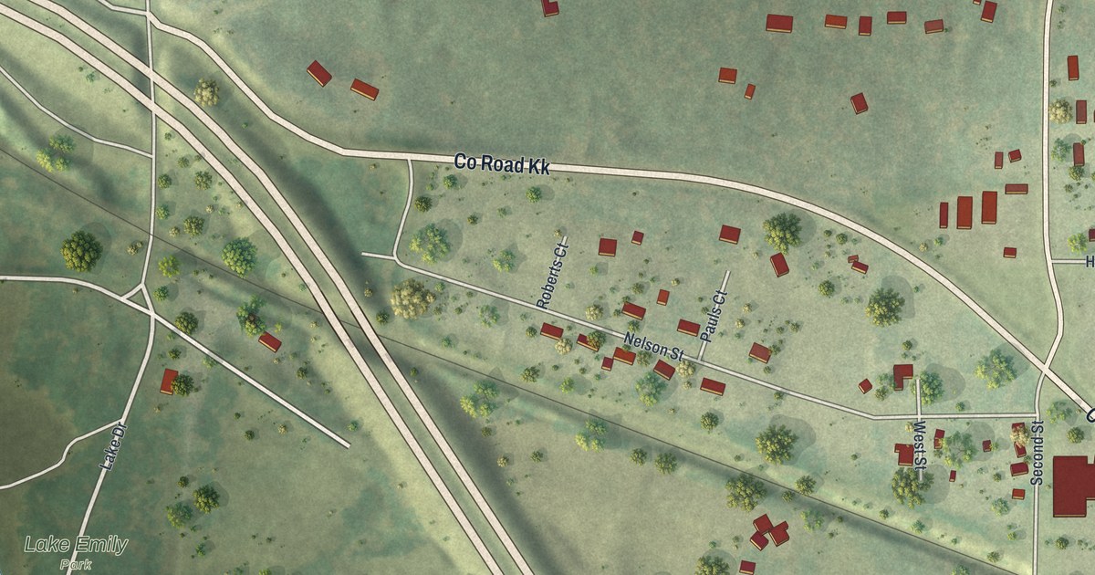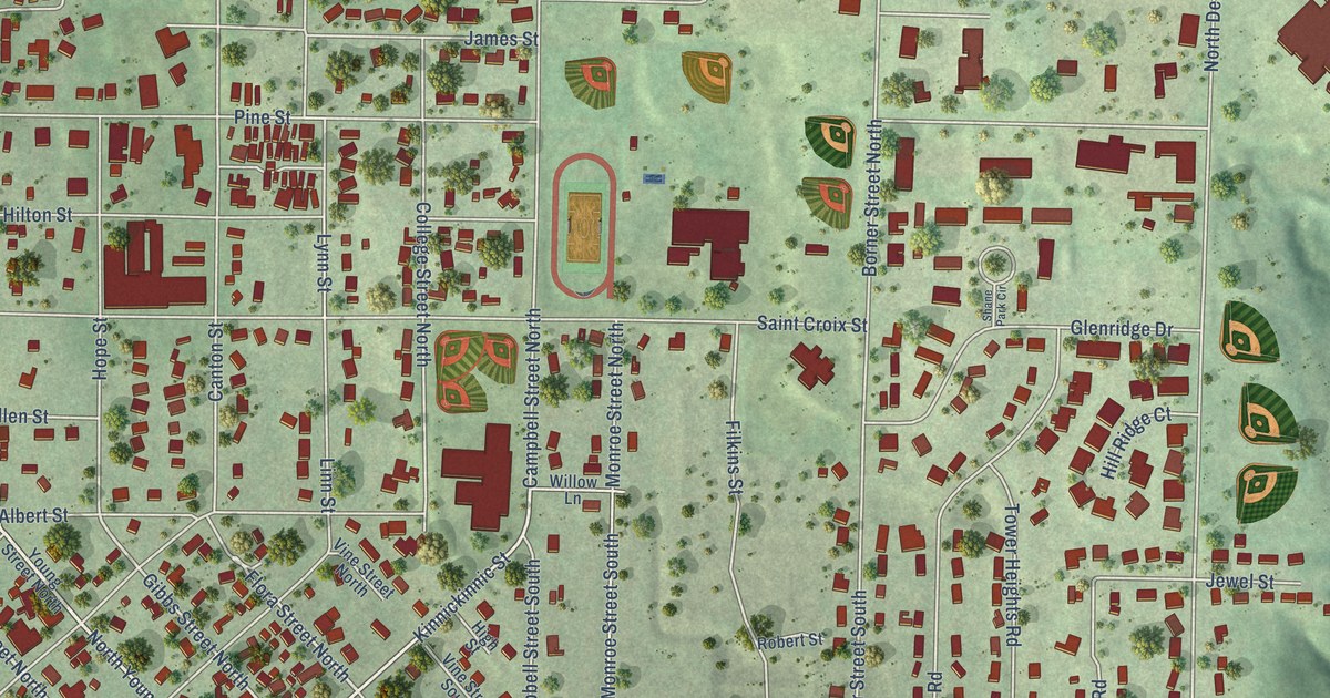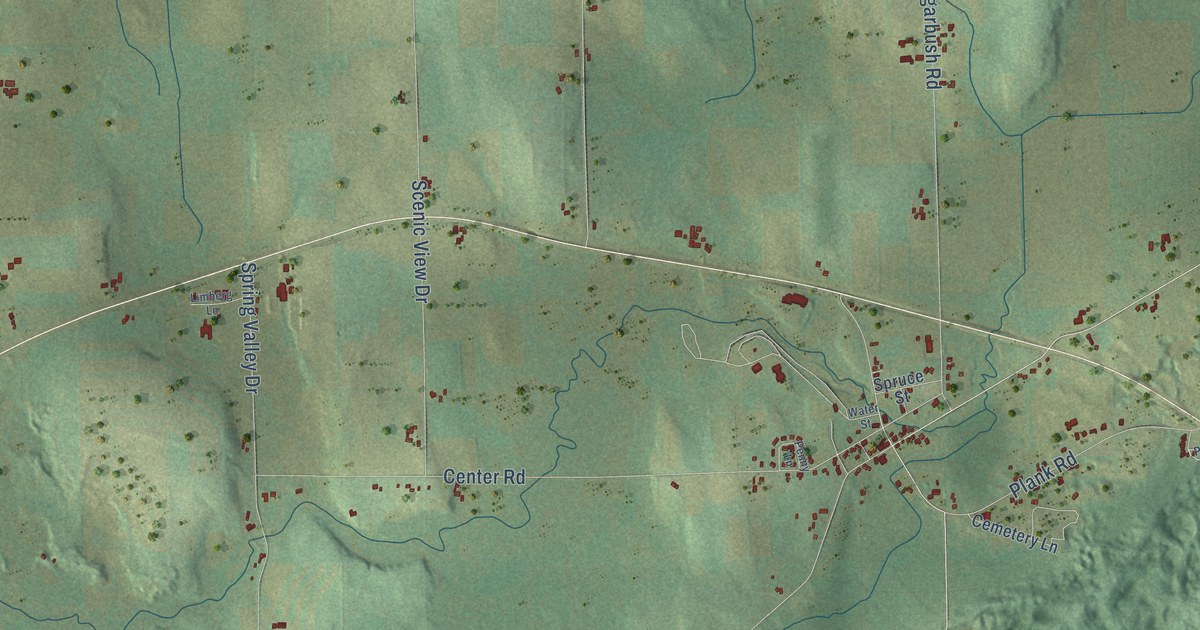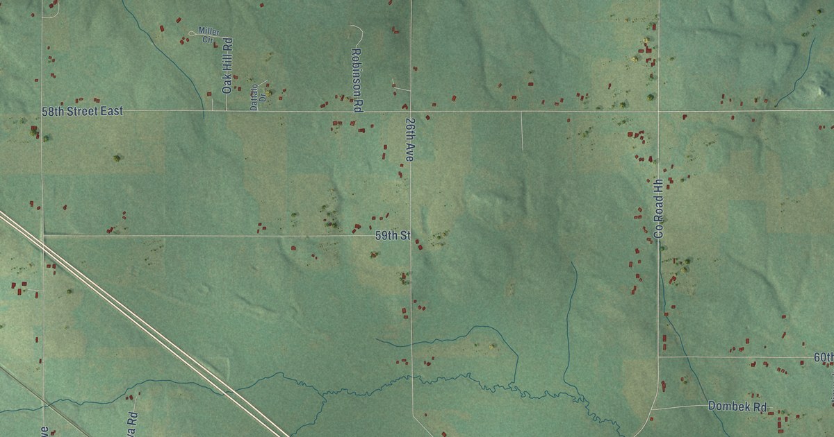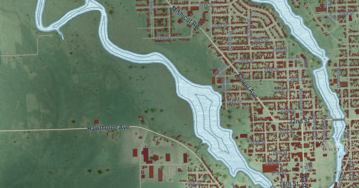
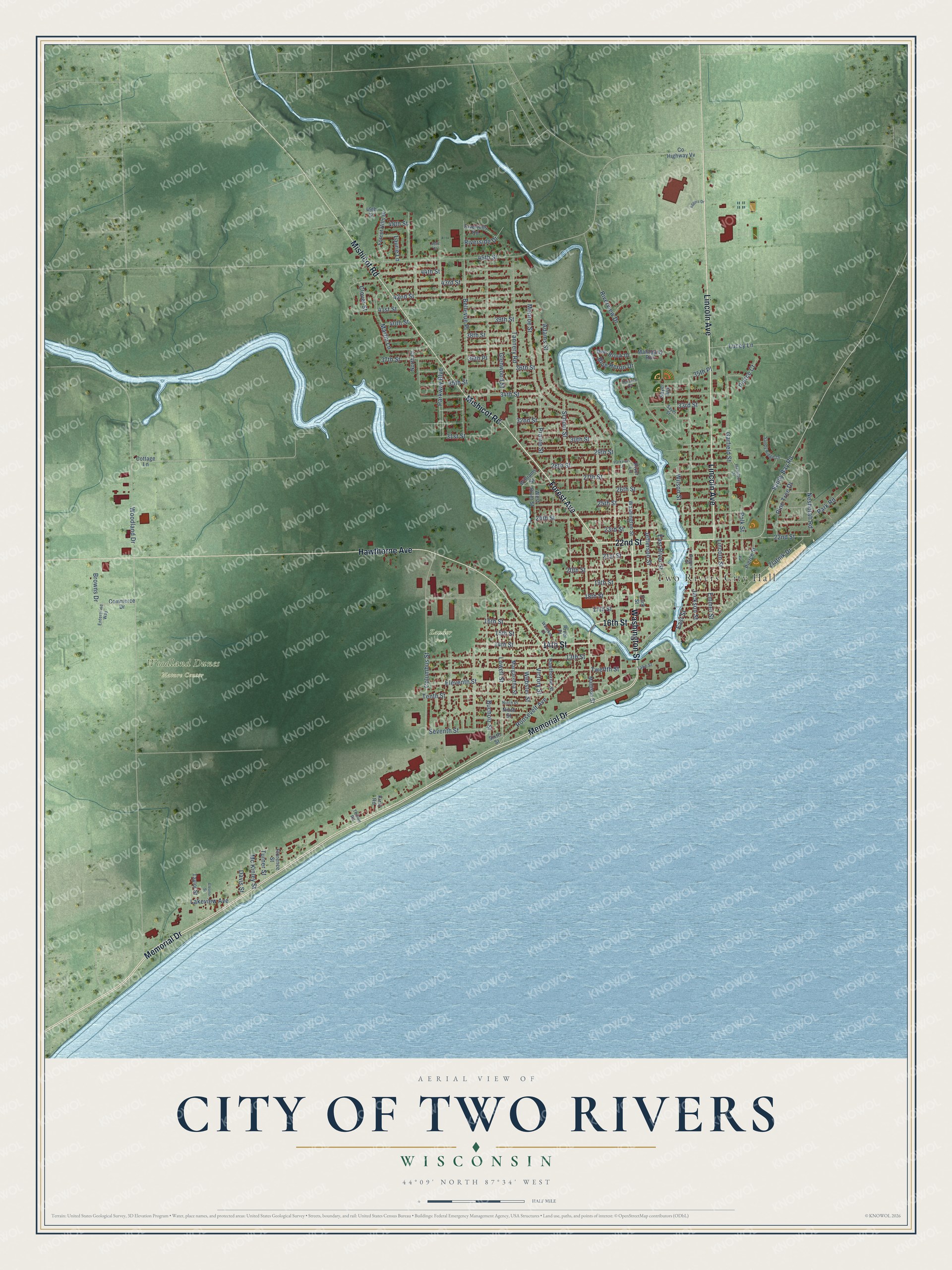
This beautifully detailed map of Two Rivers, Wisconsin was created in 2026 using aerial imagery combined with modern topographical, census, street and landmark data. It's a modern aerial view of Two Rivers in Manitowoc County, Wisconsin, that combines modern data with a vintage aesthetic. The roads feature printed names, and if you look closely you can find your exact house accurately shown in its correct location.
Explore an aerial view of Two Rivers, Wisconsin
On this map you'll find Two Rivers City Hall, Woodland Dunes Nature Center, Zander Park, Washington Street, 22nd Street, 14th Street, 16th Street, Forest Avenue, Lincoln Avenue, Memorial Drive, Hawthorne Avenue, Mishicot Road, and more. Each red shape is a building, so zoom in on the preview and look for yours.
Two Rivers has a story worth telling. The History of Northern Wisconsin puts it this way: "The sole representative of the lumber business in Two Rivers is the first saw-mill, and the first building erected here, in 1836."
Two Rivers is a city in Manitowoc County. The Census Bureau counted 11,271 people here in 2020.
Take a closer look at the Two Rivers map
Names on this map
These names are printed on this map.
Places: Two Rivers City Hall, Woodland Dunes Nature Center and Zander Park.
Streets and roads: Washington Street, 22nd Street, 14th Street, 16th Street, Forest Avenue, Lincoln Avenue, Memorial Drive, Hawthorne Avenue, Mishicot Road, 26th Street, Neshotah Road, Adams Street.
More street names, A to Z
13th Street, 15th Street, 17th Street, 18th Street, 19th Street, 20th Street, 21st Street, 23rd Street, 24th Street, 25th Street, 27th Street, 28th Street, 29th Street, 30th Street, 31st Street, 32nd Street, 33rd Street, 34th Street, 35th Place, 35th Street, 36th Place, 36th Street, 37th Street, 38th Street, 39th Street, 40th Street, 41st Street, 42nd Street, 43rd Street, 44th Street, 45th Street, 46th Street, 48th Street, 49th Street, Bellevue Place, Blue Heron Drive, Browns Drive, Bucholz Street, Clover Street, Columbus Street, Commerce Drive, Cottage Lane, County Highway Vv, Davis Street, Deer Brook Drive, East River Street, East Street, Eggers Drive, Eleonor Street, Eleventh Street, Emmet Street, Enterprise Way, Florence Street, Forest Hills Drive, Garfield Street, Glenwood Street, Hamilton Drive, Hawthorne Street, Jackson Street, Jefferson Street, Kirst Road, Lake Street, Lakeview Avenue, Laurie Lane, Lincoln Street, Lowell Street, Lucey Lane, Madison Street, Mahogany Run, Margaretha Street, Martin Lane, Mc Kinley Street, Monroe Street, Ninth Place, Ninth Street, North Court, Park Road, Park Street, Parkview Lane, Parkway Boulevard, Pierce Court, Pierce Street, Pine Tree Drive, Polk Street, Prairie Street, Riverhills Road, River Lane, River Place, Riverside Drive, Riverview Drive, Rogers Street, Roosevelt Avenue, Sandy Bay Road, Sandy Ridge Drive, Sayer Avenue, Sayer Street, School Street, Seventh Street, Sixth Street, Tannery Road, Taylor Street, Tenth Street, Terrace Court, Thiede Road, Turner Street, Twelfth Street, Victory Street, Webster Street, Wentker Court, West River Street, Williams Street, Wilson Street, Woodland Drive, Zlatnik Drive.
Created by KNOWOL in 2026. The buildings are small red shapes, the roads carry their printed names, and shaded relief shows the shape of the land. The title panel reads "AERIAL VIEW OF CITY OF TWO RIVERS, WISCONSIN" with 44°09' NORTH 87°34' WEST.
It looks right in a kitchen, an office or a den, and it's a gift for anyone who grew up in Two Rivers or moved away. Open the preview and find your street. See sizes and frames for the Two Rivers map.