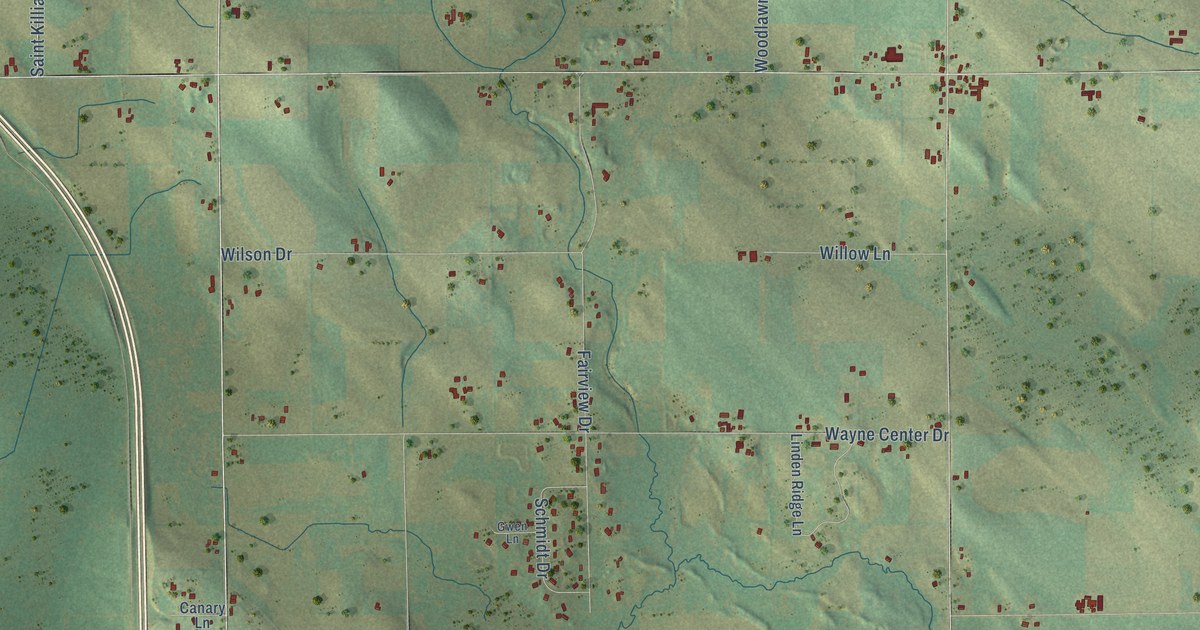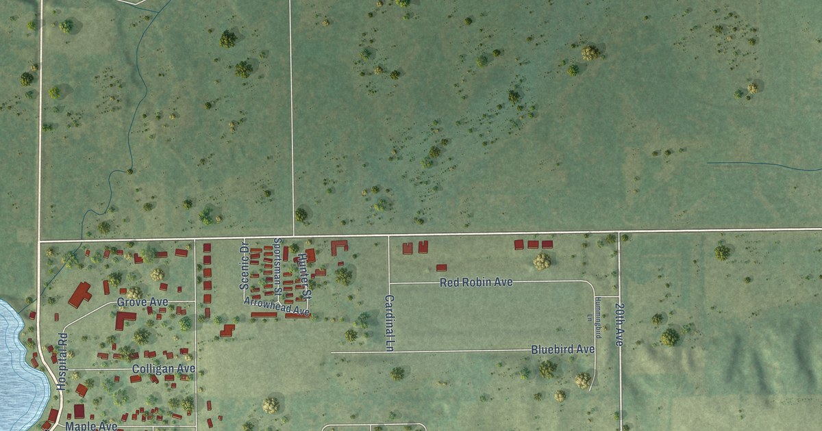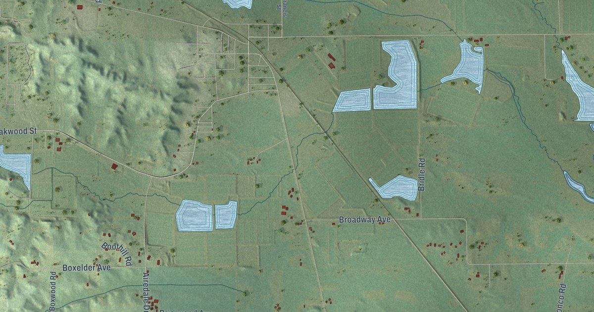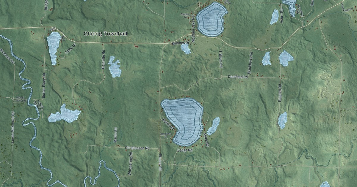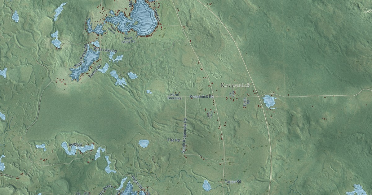
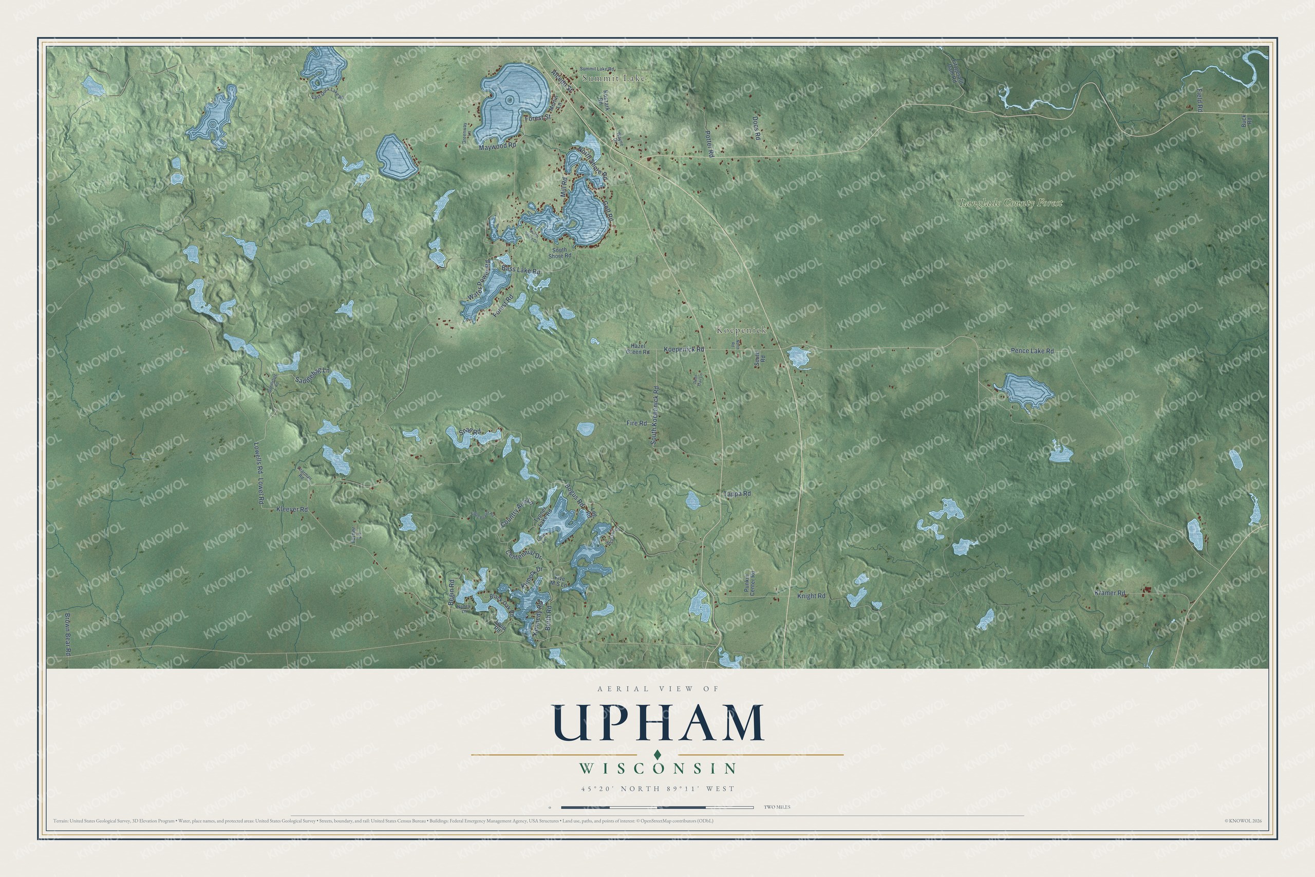
This beautifully detailed map of Upham, Wisconsin was created in 2026 using aerial imagery combined with modern topographical, census, street and landmark data. It's a modern aerial view of Upham in Langlade County, Wisconsin, that combines modern data with a vintage aesthetic. The roads feature printed names, and if you look closely you can find your exact house accurately shown in its correct location.
Explore an aerial view of Upham, Wisconsin
On this map you'll find Summit Lake, Koepenick, Langlade County Forest, Pence Lake Road, Lowel Road, Lowells Road, Maywood Road, Forest Road, Bogus Road, Koepenick Road, Water Power Road, Bass Lake Road, and more. Each red shape is a building, so zoom in on the preview and look for yours.
Upham has a story worth telling. The Town of Upham puts it this way: "The town was created on November 16, 1894 and named in honor of William H. Upham of Marshfield, who was the governor of Wisconsin from 1895 to 1897."
Upham is a town in Langlade County. The Census Bureau counted 726 people here in 2020.
Take a closer look at the Upham map
Names on this map
These names are printed on this map.
Places: Summit Lake, Koepenick and Langlade County Forest.
Streets and roads: Pence Lake Road, Lowel Road, Lowells Road, Maywood Road, Forest Road, Bogus Road, Koepenick Road, Water Power Road, Bass Lake Road, Saddlebag Lane, Mill Road, Knight Road.
More street names, A to Z
Alcedo Street, Begin Road, Black Oak Road, Borth Road, Brown Bear Road, Buck Road, Centennial Drive, Country Aire Lane, Deer Trail Lane, Docs Road, Eager Beaver Road, East Duck Lake Road, Field Road, Fire Road, Fitzgerald Dam Road, Five M'S Lane, Forest Street, Golf Road, Greenway Lane, Hazel Green Road, Kennedy Road, Kleever Road, Klimeck Drive, Koszark Road, Kramer Road, Learman Road, Loan Lane, Log Road, Loop Road, Merlin Lane, Nancy Lane, North Road, North Shore Road, Potter Road, Punkin Center Road, Saddlebag Road, Snag Road, South Koepenick Road, South Road, South Shore Drive, South Shore Road, Strasser Lane, Summit Lake Road, Tappa Road, Turner Lane, Typner Lake Road, Wayne Drive.
Created by KNOWOL in 2026. The buildings are small red shapes, the roads carry their printed names, and shaded relief shows the shape of the land. The title panel reads "AERIAL VIEW OF UPHAM, WISCONSIN" with 45°20' NORTH 89°11' WEST.
It looks right in a kitchen, an office or a den, and it's a gift for anyone who grew up in Upham or moved away. Open the preview and find your street. See sizes and frames for the Upham map.