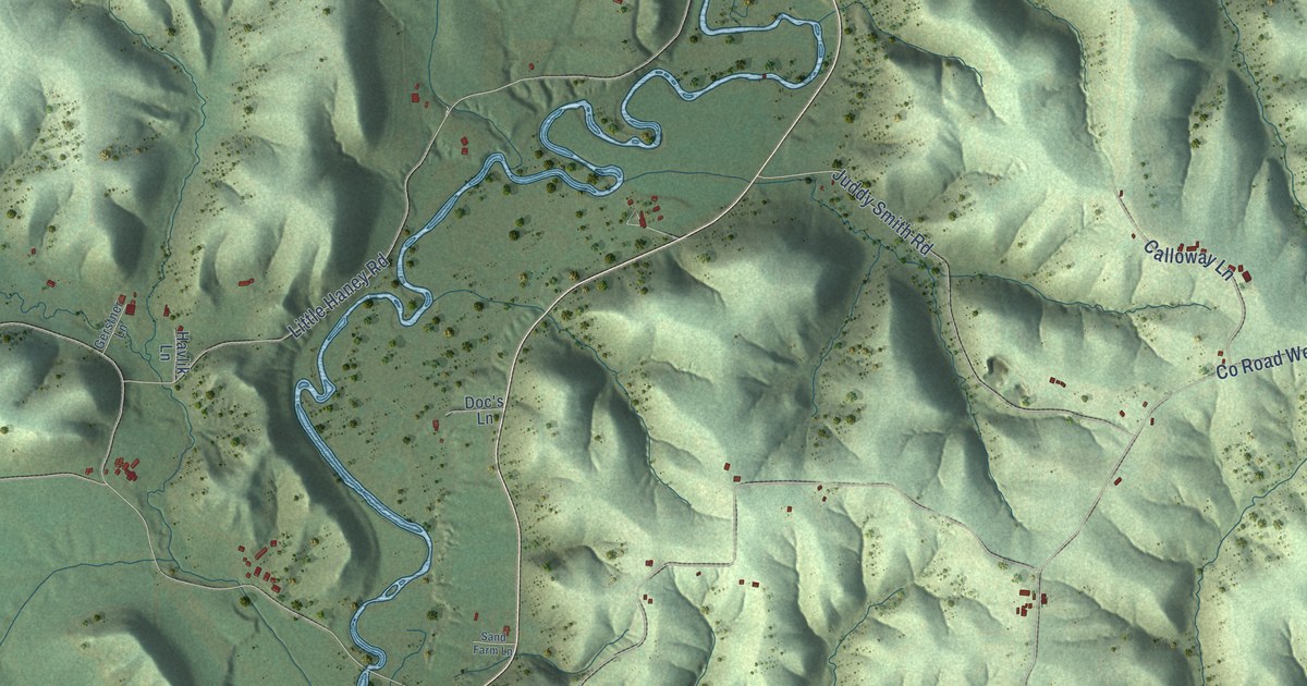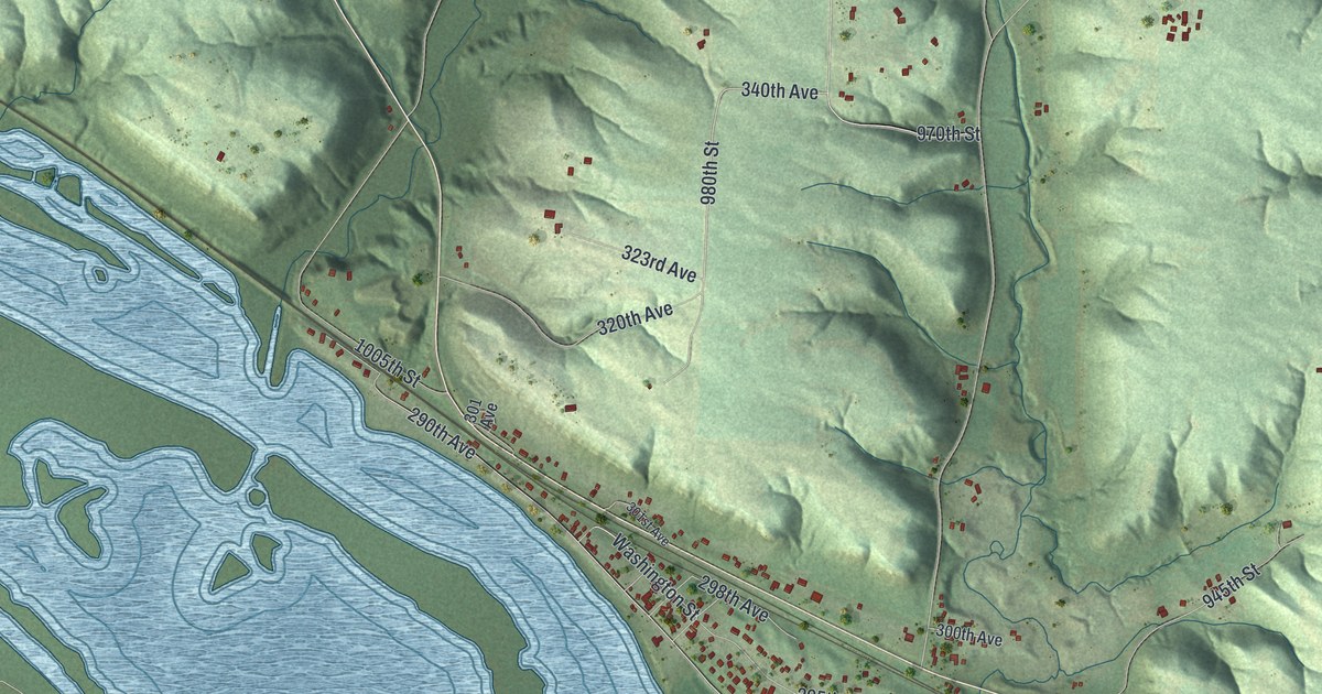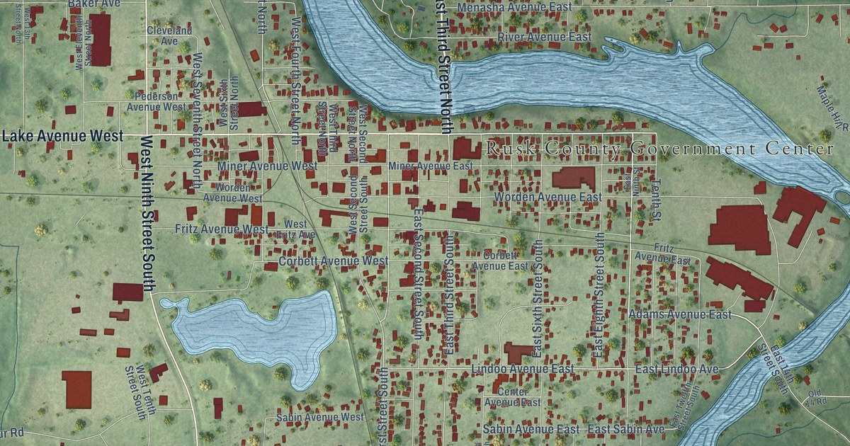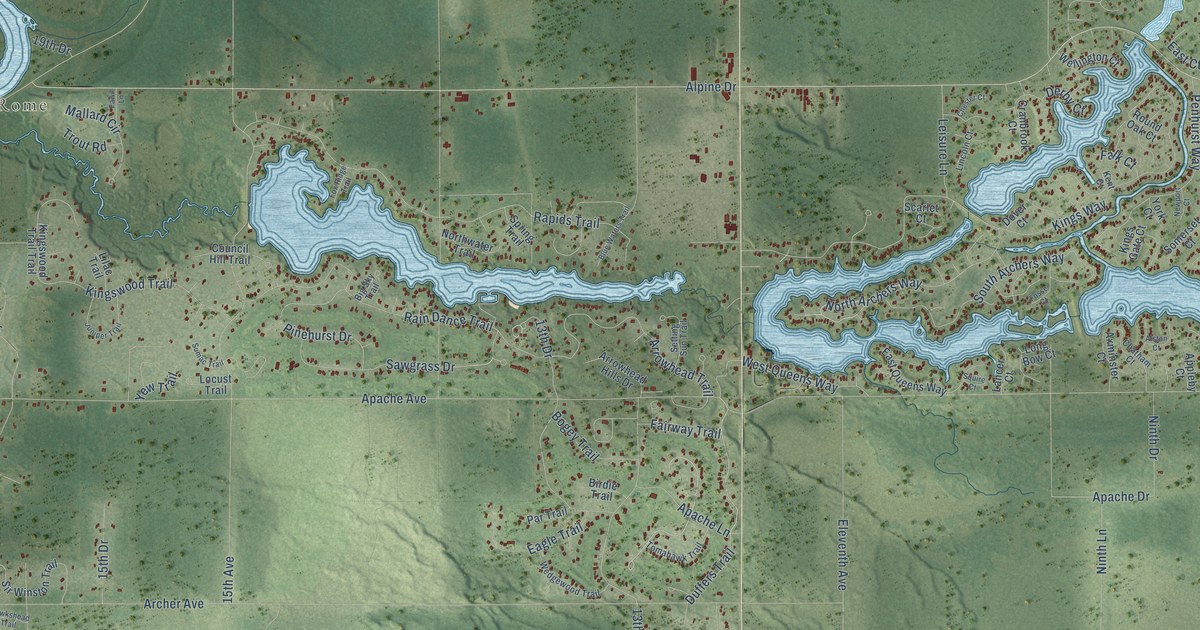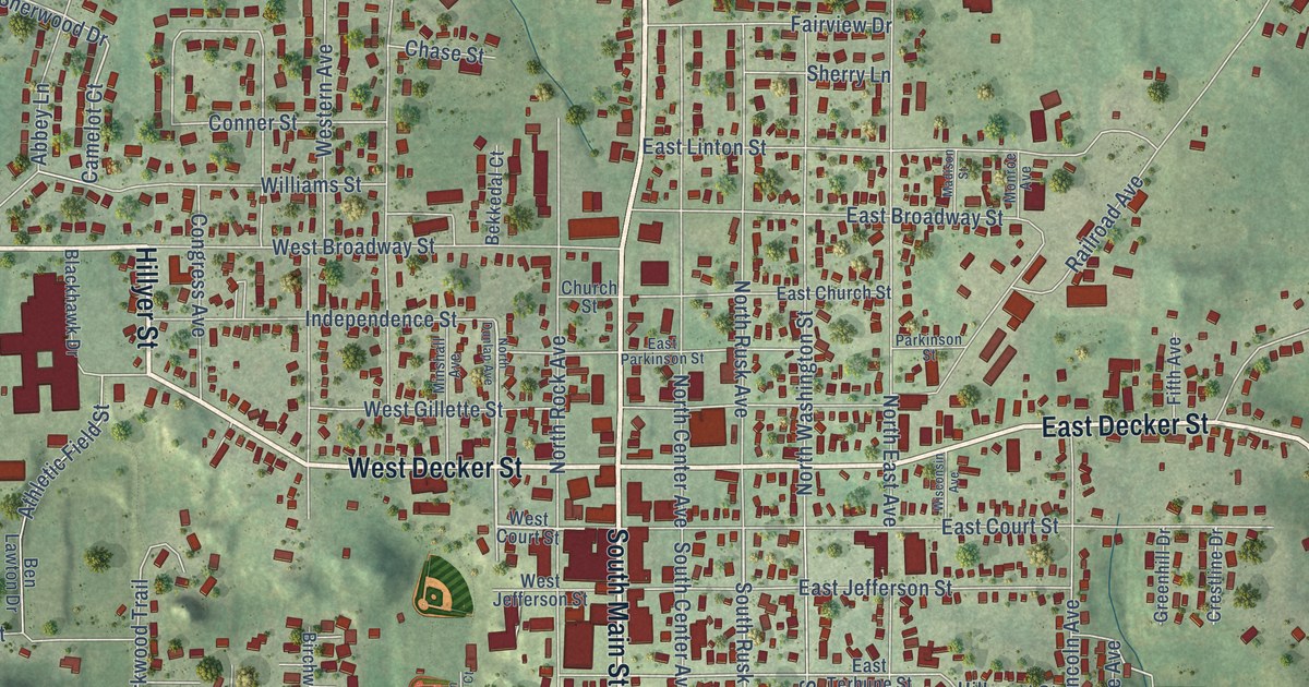
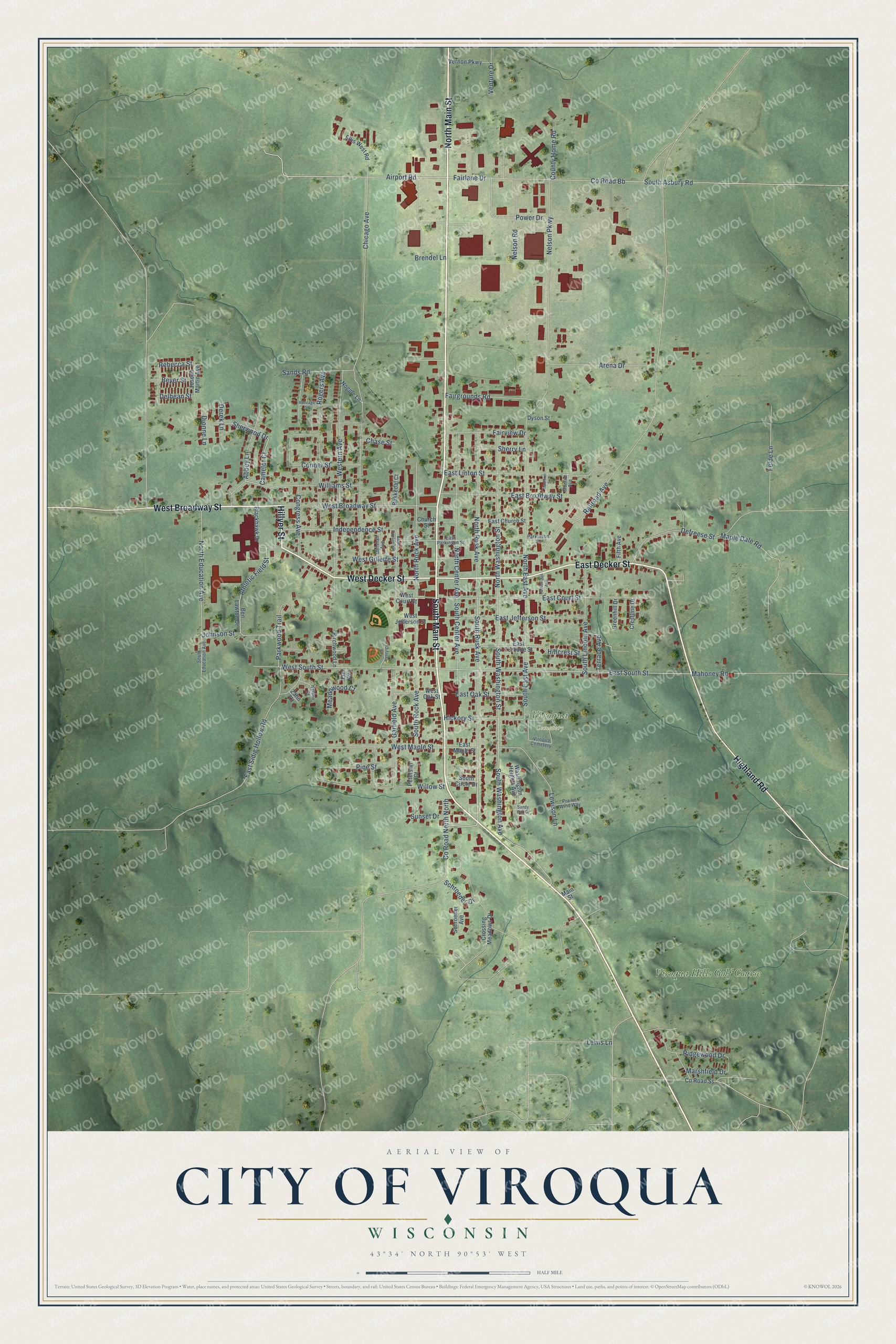
This beautifully detailed map of Viroqua, Wisconsin was created in 2026 using aerial imagery combined with modern topographical, census, street and landmark data. It's a modern aerial view of Viroqua in Vernon County, Wisconsin, that combines modern data with a vintage aesthetic. The roads feature printed names, and if you look closely you can find your exact house accurately shown in its correct location.
Explore an aerial view of Viroqua, Wisconsin
On this map you'll find Viroqua Cemetery, Viroqua Hills Golf Course, North Main Street, South Main Street, West Decker Street, Hillyer Street, West Broadway Street, East Decker Street, Highland Road, South Rusk Avenue, Camelot Court, Airport Road, and more. Each red shape is a building, so zoom in on the preview and look for yours.
Here is a piece of Viroqua history, in the words of the record. The History of Vernon County puts it this way: "The first school house was erected on the ridge between Viroqua and Brookville, built by George Swain, Abram Stiles and T. J. De Frees. It was intended also as a church."
Viroqua is a city in Vernon County. The Census Bureau counted 4,504 people here in 2020.
Take a closer look at the Viroqua map
Names on this map
These names are printed on this map.
Places: Viroqua Cemetery and Viroqua Hills Golf Course.
Streets and roads: North Main Street, South Main Street, West Decker Street, Hillyer Street, West Broadway Street, East Decker Street, Highland Road, South Rusk Avenue, Camelot Court, Airport Road, Fairlane Drive, East South Street.
More street names, A to Z
Abbey Lane, Arena Drive, Athletic Field Street, Bekkedal Court, Ben Lawton Drive, Beyer Street, Birchwood Lane, Blackhawk Drive, Brendel Lane, Chase Street, Chicago Avenue, Church Street, Congress Avenue, Conner Street, County Home Road, County Road Bb, County Road North North, County Road Ss, Crestline Drive, Crossing Meadows Drive, Defreese Street, Delbean Street, Derek Lane, Dionne Lane, Dyson Street, East Broadway Street, East Church Street, East Court Street, East Jefferson Street, East Linton Street, East Maple Street, East Oak Street, East Parkinson Street, East Sidie Hollow Road, East Terhune Street, Ellis West Road, Elm Avenue, Fairgrounds Road, Fairview Drive, Felde Lane, Fifth Avenue, Garfield Avenue, Greenhill Drive, Heritage Street, Hickory Street, Hillcrest Street, Independence Street, Johnson Street, Joseph Martin Avenue, Lewis Lane, Lewison Lane, Madison Street, Mahoney Road, Main Street, Maple Dale Road, Marshfield Drive, Meadowood Court, Minshall Avenue, Monroe Avenue, Nelson Court, Nelson Parkway, Nelson Road, Noggle Lane, North Center Avenue, North Dunlap Avenue, North East Avenue, North Education Avenue, North Rock Avenue, North Rusk Avenue, North Washington Street, Parkinson Street, Parkwood Trail, Peterson Court, Pine Street, Power Drive, Prairie Wind Way, Railroad Avenue, Rebecca Street, Ridgewood Drive, Rogers Avenue, Sands Road, Sandy Oak Drive, Schroeder Avenue, Schroeder Drive, Sherry Lane, Sherwood Drive, South Asbury Road, South Center Avenue, South Circle Drive, South East Avenue, South Education Avenue, South Lincoln Avenue, South Rock Avenue, South Washington Avenue, South Washington Street, Sunset Drive, Terrace Avenue, Tom Henry Court, Venture Drive, Vernon Parkway, Washington Heights Avenue, West Court Street, Western Avenue, West Gillette Street, West Jefferson Street, West Maple Street, West Oak Street, West South Street, Williams Street, Willow Street, Wisconsin Avenue, Zahn Court.
Created by KNOWOL in 2026. The buildings are small red shapes, the roads carry their printed names, and shaded relief shows the shape of the land. The title panel reads "AERIAL VIEW OF CITY OF VIROQUA, WISCONSIN" with 43°34' NORTH 90°53' WEST.
It suits a den, a classroom or a front hall, and it makes a gift for anyone with Viroqua roots. Open the preview and find the block you know. See sizes and frames for the Viroqua map.