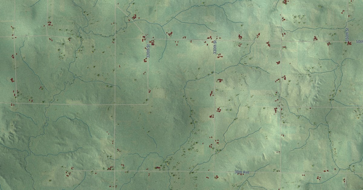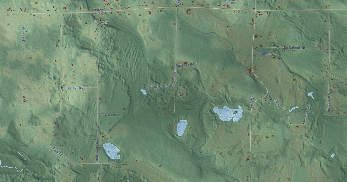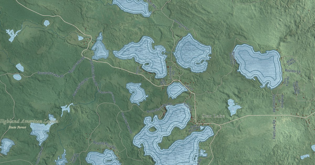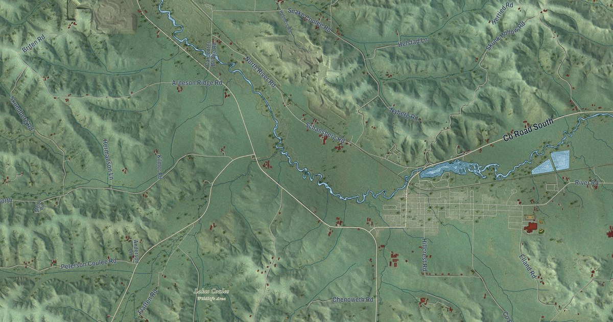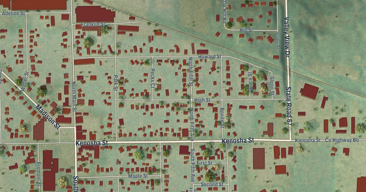
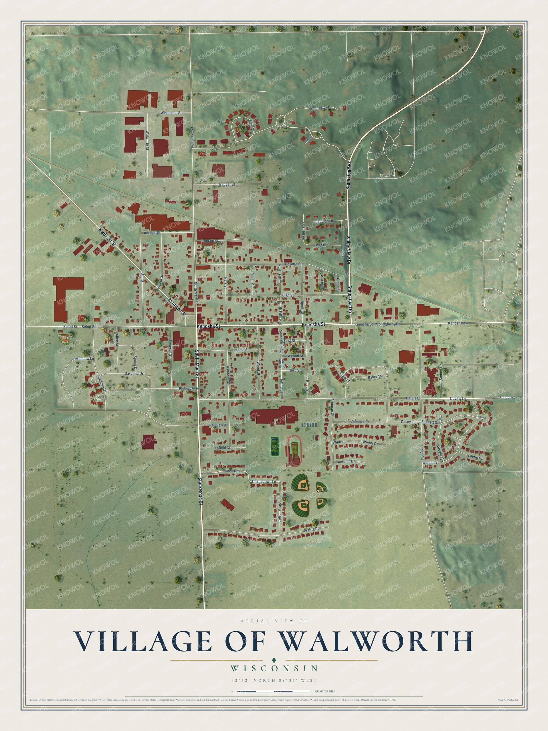
This beautifully detailed map of Walworth, Wisconsin was created in 2026 using aerial imagery combined with modern topographical, census, street and landmark data. It's a modern aerial view of Walworth in Walworth County, Wisconsin, that combines modern data with a vintage aesthetic. The roads feature printed names, and if you look closely you can find your exact house accurately shown in its correct location.
Explore an aerial view of Walworth, Wisconsin
On this map you'll find Toynton Park, Kenosha Street, South Main Street, State Road 67, Valley View Drive, Madison Street, Knoll Road, North Main Street, Thistledown Lane, Red Hawk Drive, Kenosha Avenue, Devil's Lane, and more. Each red shape is a building, so zoom in on the preview and look for yours.
Walworth has a story worth telling. The History of Walworth County puts it this way: "Walworth remained little more than a hamlet until the electric railway was built from Harvard in 1899, followed in 1901 by the Chicago, Milwaukee & St, Paul railway line from Chicago to Janesville."
Walworth is a village in Walworth County. The Census Bureau counted 2,759 people here in 2020.
Take a closer look at the Walworth map
Names on this map
These names are printed on this map.
Places: Toynton Park.
Streets and roads: Kenosha Street, South Main Street, State Road 67, Valley View Drive, Madison Street, Knoll Road, North Main Street, Thistledown Lane, Red Hawk Drive, Kenosha Avenue, Devil's Lane, Bonner Drive.
More street names, A to Z
Access Road, Adeline Street, Allen Street, Autumn Drive, Badger Street, Baker Street, Beloit Road, Beloit Street, Bennett Court, Bennett Drive, Bonito Street, Brennan Drive, Casey Lane, Cook Street, Cotton Grass Lane, County Highway Bb, Devils Lane, Elm Street, Fairview Drive, Fifth Avenue, First Street, Fox Lane, Franklin Street, Fremont Street, Glenn Street, Grace Street, Gregory Court, Gregory Street, High Street, Hill Street, Howard Street, Lakeview Drive, Laurie Court, Maple Street, Meadow Lane, North Fifth Avenue, North Fifth Street, Oak Hill Road, Park Street, Pecks Court, Phillips Avenue, Plafield Court, Prairie Drive, Randolph Street, Read Street, Ridge Road, Savanna Drive, School Road, Second Street, South Fifth Avenue, South Fifth Street, Spring Drive, Summer Drive, Third Street, Town Hall Road, Walworth Street, Weber Street, Whitetail Lane, William Street, Windmill Lane, Winter, Winter Drive, Wisconsin Street, Wood Street.
Created by KNOWOL in 2026. The buildings are small red shapes, the roads carry their printed names, and shaded relief shows the shape of the land. The title panel reads "AERIAL VIEW OF VILLAGE OF WALWORTH, WISCONSIN" with 42°32' NORTH 88°36' WEST.
It looks right in a kitchen, an office or a den, and it's a gift for anyone who grew up in Walworth or moved away. Open the preview and find your street. See sizes and frames for the Walworth map.