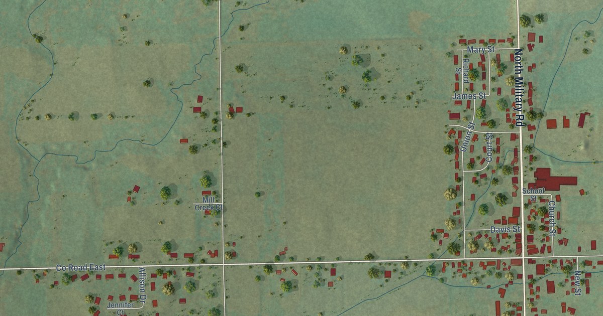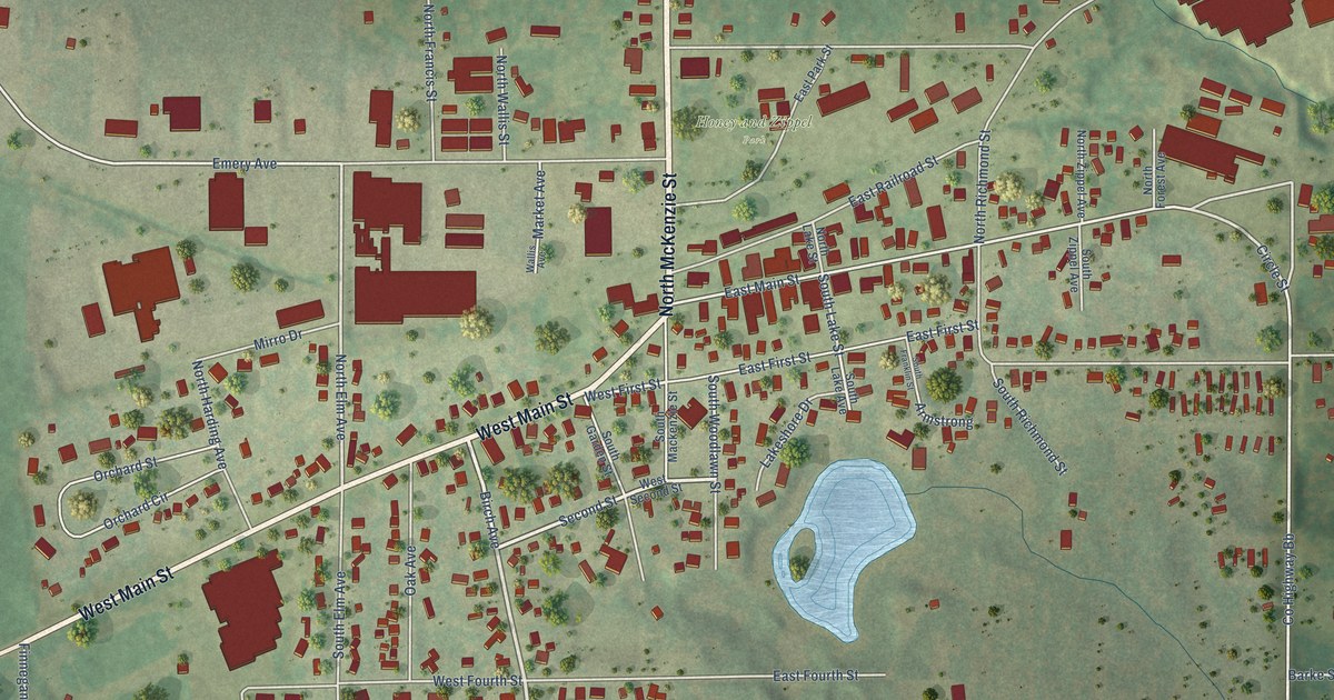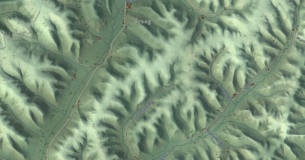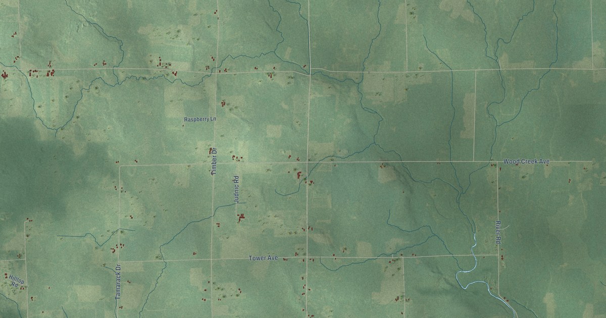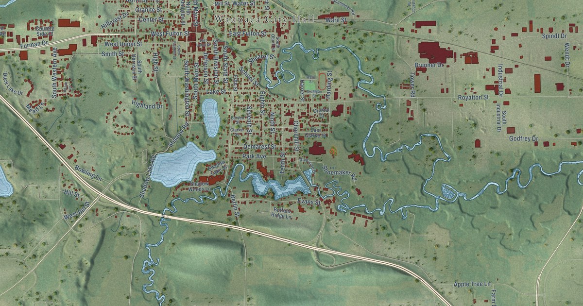
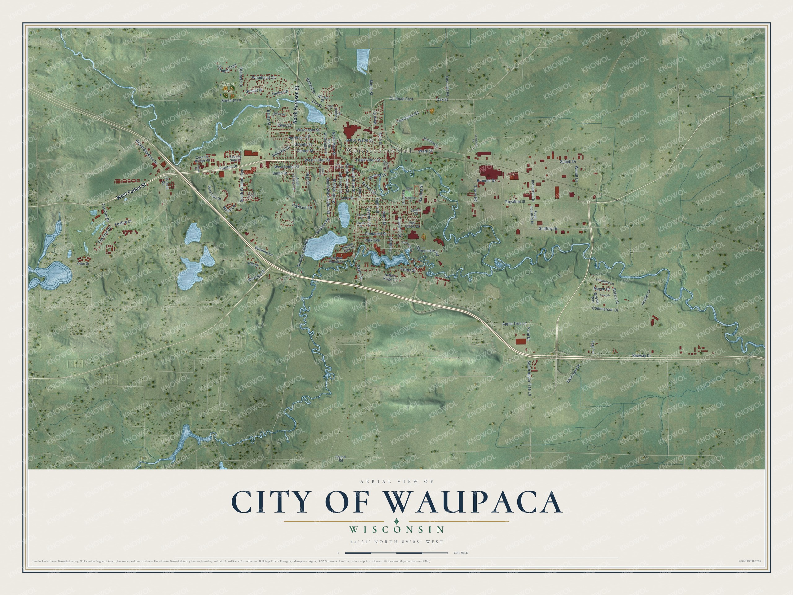
This beautifully detailed map of Waupaca, Wisconsin was created in 2026 using aerial imagery combined with modern topographical, census, street and landmark data. It's a modern aerial view of Waupaca in Waupaca County, Wisconsin, that combines modern data with a vintage aesthetic. The roads feature printed names, and if you look closely you can find your exact house accurately shown in its correct location.
Explore an aerial view of Waupaca, Wisconsin
On this map you'll find Waupaca City Hall, Swan Park, West Fulton Street, North Harrison Street, Royalton Street, Wendt Drive, East Fulton Street, Co Road East, Shadow Road, Water Street, Oak Street, Commercial Drive, and more. Each red shape is a building, so zoom in on the preview and look for yours.
Waupaca has a story worth telling. The History of Waupaca County puts it this way: "The first church (Methodist) was built in 1853, in what is now the Fourth Ward of the City of Waupaca."
Waupaca is a city in Waupaca County. The Census Bureau counted 6,282 people here in 2020.
Take a closer look at the Waupaca map
Names on this map
These names are printed on this map.
Places: Waupaca City Hall and Swan Park.
Streets and roads: West Fulton Street, North Harrison Street, Royalton Street, Wendt Drive, East Fulton Street, County Road East, Shadow Road, Water Street, Oak Street, Commercial Drive, Ware Street, Runway Drive.
More street names, A to Z
Apple Tree Lane, Bailey Street, Balch Street, Ballard Street, Bazile Lane, Berlin Street, Bowling Lane, Brainerd Drive, Brunner Drive, Buffalo Ridge Lane, Center Street, Churchill Street, Clarke Street, Constance Road, Country Side Court, County Road Qq, Covered Bridge Road, Crystal Court, Crystal Road, Demarest Street, Duck Lake Drive, East Clarke Street, East Gate Drive, East Limit Road, East Union Street, Eighth Street, Elm Street, Evans Street, Farm Drive, Ferg Lane, Fifth Street, Fox Fire Court, Foxfire Court, Fox Fire Drive, Furman Drive, Godfrey Drive, Grand Seasons Drive, Granite Street, Harding Street, Harriet Street, Heather Lane, Highland Drive, High Street, Hillcrest Drive, Hill Street, Holbeck Street, Industrial Drive, Jefferson Street, Joann Lane, Lake Street, Larsen Street, Leighton Road, Lensmire Lane, Marsh Street, Mayek Drive, Mead Lane, Michigan Street, Mill Street, Ninth Street, North Main Street, North Street, North Washington Street, Oman Street, Otter Drive, Park Avenue, Riverside Drive, River Street, Rotary Street, School Street, Scott Street, Serenity Lane, Seventh Street, Shadow Lake Drive, Shadow Lake Road, Shadow Woods Lane, Shambeau Road, Shearer Street, Shoemaker Road, Smith Street, South Apple Tree Lane, South Division Street, South Franklin Street, South Harrison Street, South Industrial Drive, South Main Street, South Oborn Street, South State Street, South Washington Street, South Western Avenue, Spindt Drive, Sunset Drive, Tenth Street, Thomas Trail, Timber Drive, Tower Road, Townsend Road, Webster Way, Wells Street, West Hill Street, West Street, West Union Street, Willard Street, Wisconsin Street, Woodland Circle, Young Drive.
Created by KNOWOL in 2026. The buildings are small red shapes, the roads carry their printed names, and shaded relief shows the shape of the land. The title panel reads "AERIAL VIEW OF CITY OF WAUPACA, WISCONSIN" with 44°21' NORTH 89°05' WEST.
It looks right in a kitchen, an office or a den, and it's a gift for anyone who grew up in Waupaca or moved away. Open the preview and find your street. See sizes and frames for the Waupaca map.