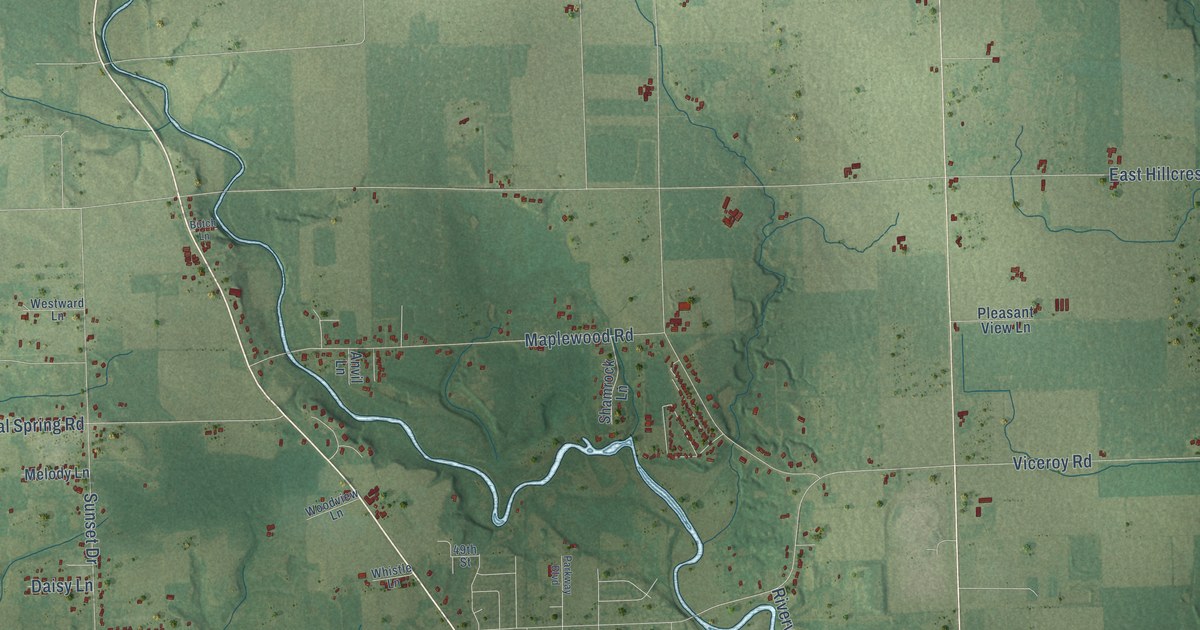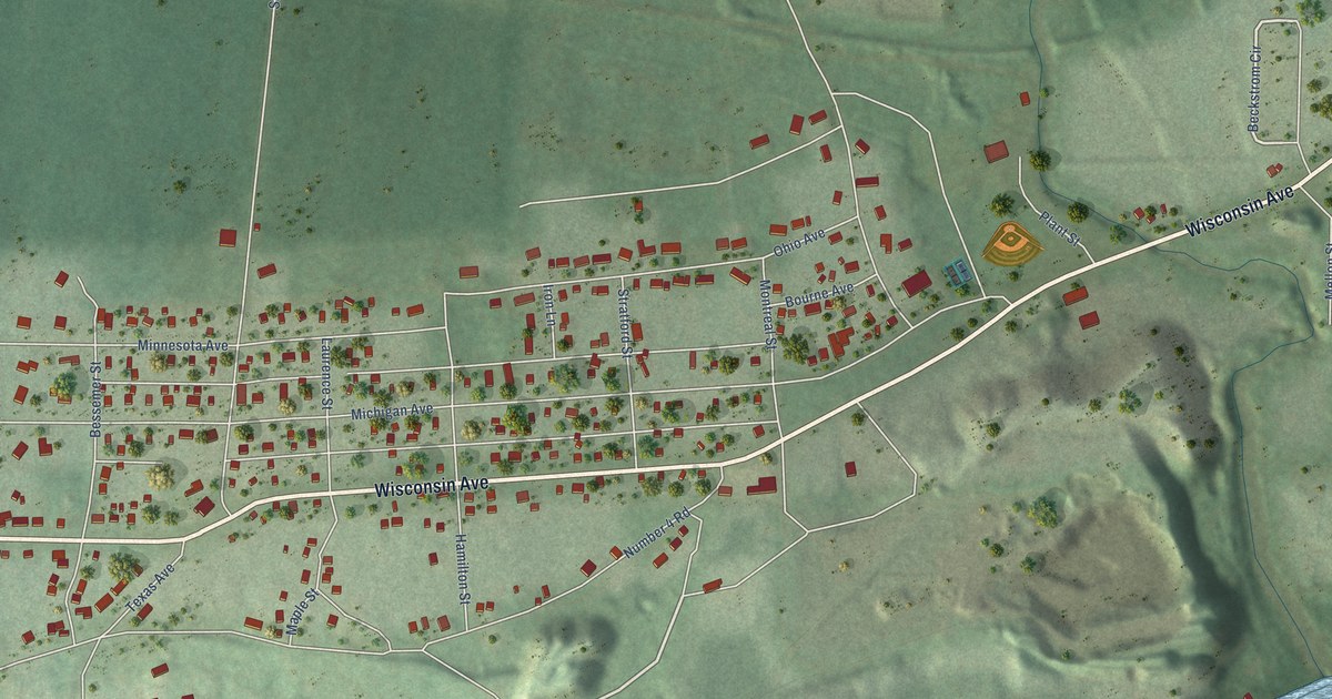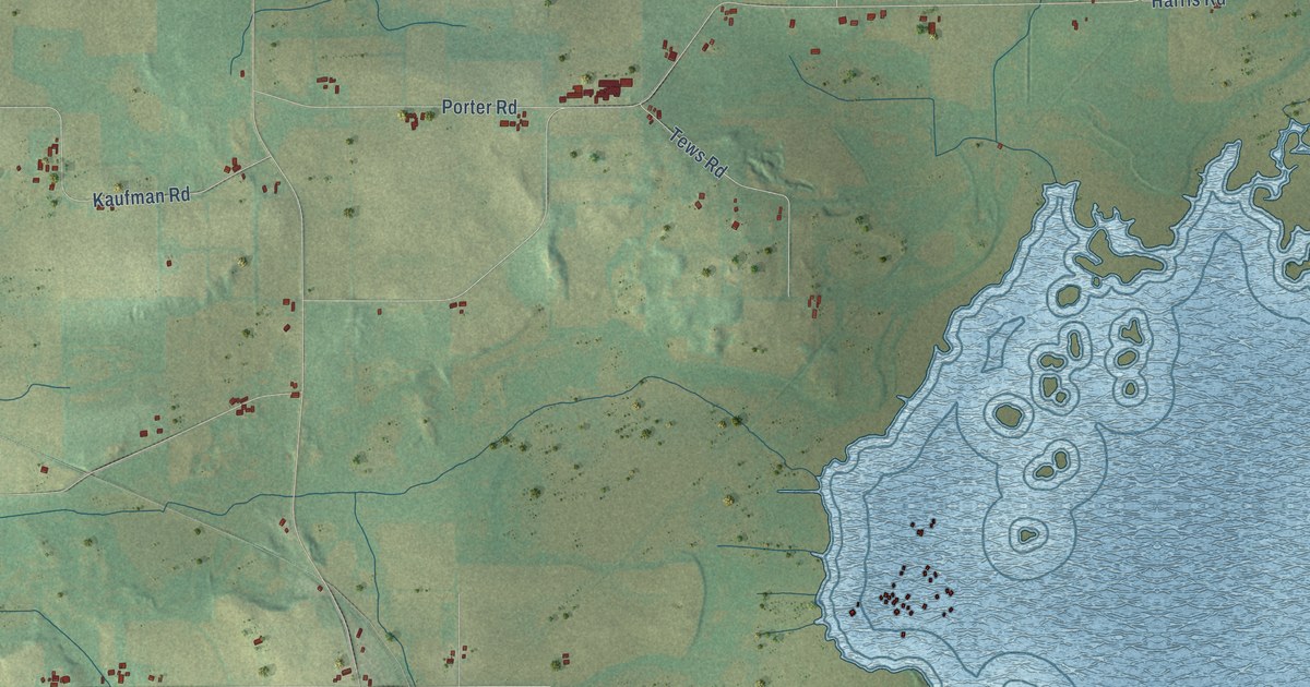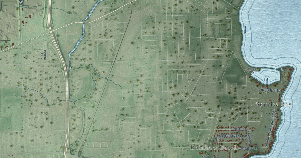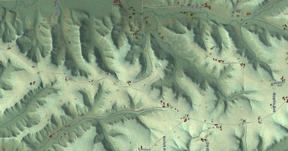
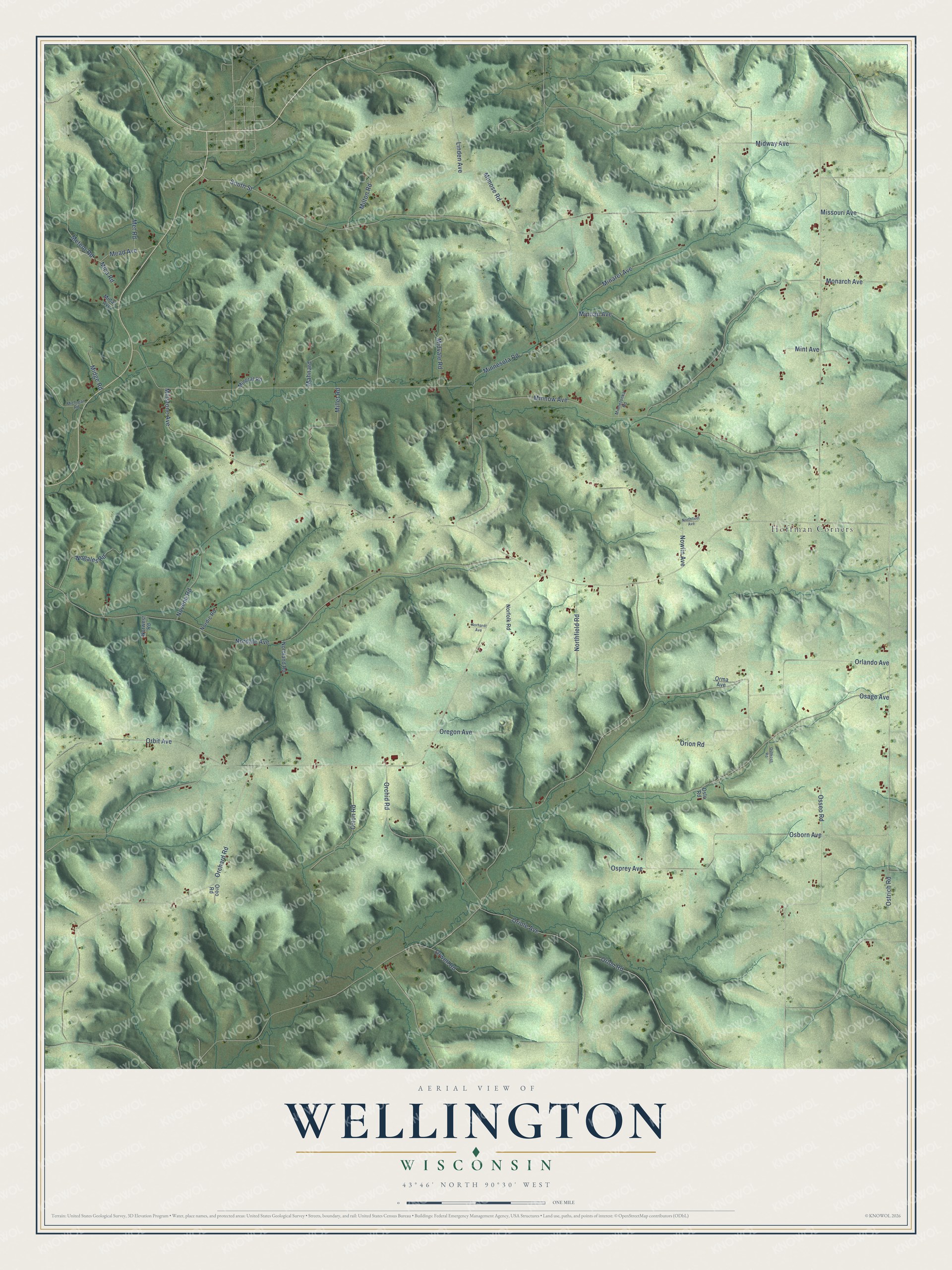
This beautifully detailed map of Wellington, Wisconsin was created in 2026 using aerial imagery combined with modern topographical, census, street and landmark data. It's a modern aerial view of Wellington in Monroe County, Wisconsin, that combines modern data with a vintage aesthetic. The roads feature printed names, and if you look closely you can find your exact house accurately shown in its correct location.
Explore an aerial view of Wellington, Wisconsin
On this map you'll find Hoffman Corners, Orwell Road, Orlon Road, Midway Avenue, Nordale Avenue, Minnow Avenue, Millstone Avenue, Osage Avenue, Orchard Road, Monarch Avenue, Orlando Avenue, Osborn Avenue, and more. Each red shape is a building, so zoom in on the preview and look for yours.
Wellington has a story worth telling. The History of Monroe County Wisconsin puts it this way: "When told about the existence of a Lutheran church at Ridgeville, Louis Friske and his brother Julius walked fourteen miles to hear a Lutheran sermon."
Wellington is a town in Monroe County. The Census Bureau counted 666 people here in 2020.
Take a closer look at the Wellington map
Names on this map
These names are printed on this map.
Places: Hoffman Corners.
Streets and roads: Orwell Road, Orlon Road, Midway Avenue, Nordale Avenue, Minnow Avenue, Millstone Avenue, Osage Avenue, Orchard Road, Monarch Avenue, Orlando Avenue, Osborn Avenue, Minnesota Road.
More street names, A to Z
Linden Avenue, Mahnard, Mead Avenue, Meteor Road, Met Road, Mica Road, Michigan Road, Midas Avenue, Midge Road, Midvale Road, Millet Road, Milton Road, Mimose Road, Minaret Avenue, Mineral Road, Minnetonka Road, Minoan Avenue, Mint Avenue, Missouri Avenue, Nogales Road, Nordic Road, Nordland Road, Norfolk Road, Norhardt Avenue, Northfield Road, Northfleet Avenue, Norwest Road, Novena Road, Nowlin Avenue, Orbit Avenue, Orchid Road, Oregon Avenue, Oreo Road, Oriole Avenue, Orion Road, Orma Avenue, Orton Road, Oshkosh Road, Oslo Road, Osprey Avenue, Osseo Road, Ostrich Road, South Street.
Created by KNOWOL in 2026. The buildings are small red shapes, the roads carry their printed names, and shaded relief shows the shape of the land. The title panel reads "AERIAL VIEW OF WELLINGTON, WISCONSIN" with 43°46' NORTH 90°30' WEST.
It looks right in a kitchen, an office or a den, and it's a gift for anyone who grew up in Wellington or moved away. Open the preview and find your street. See sizes and frames for the Wellington map.