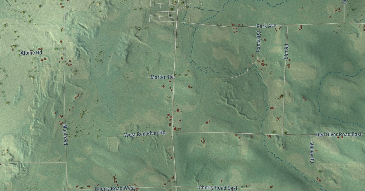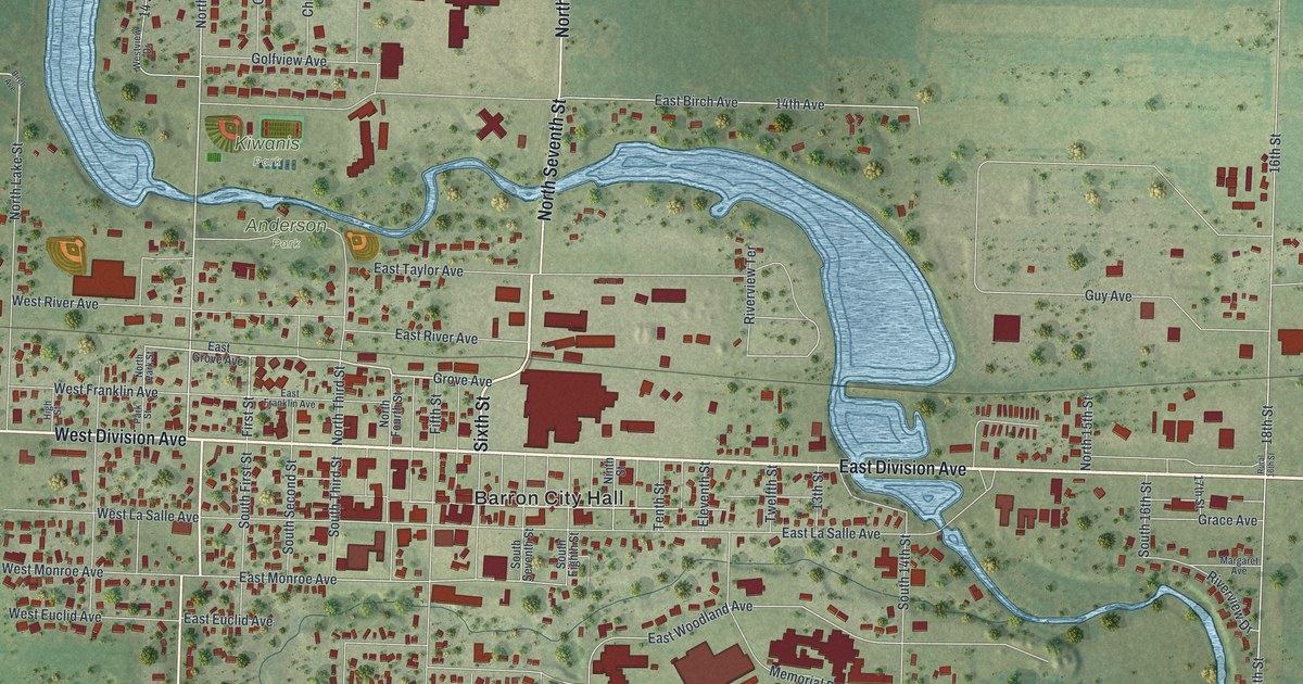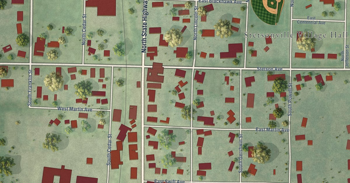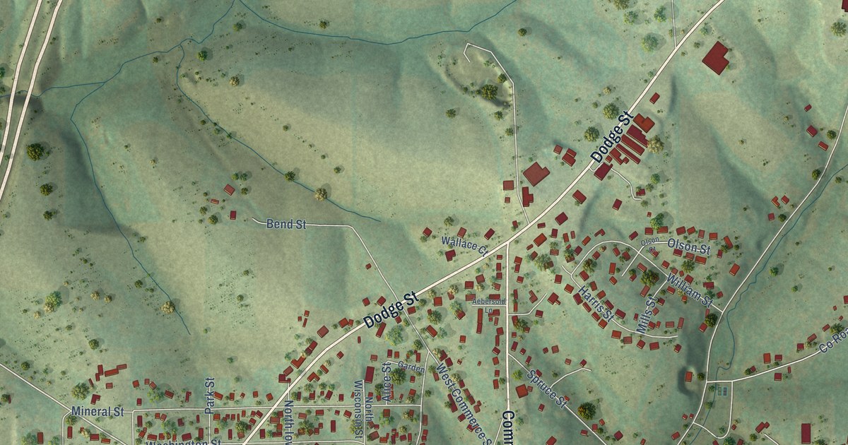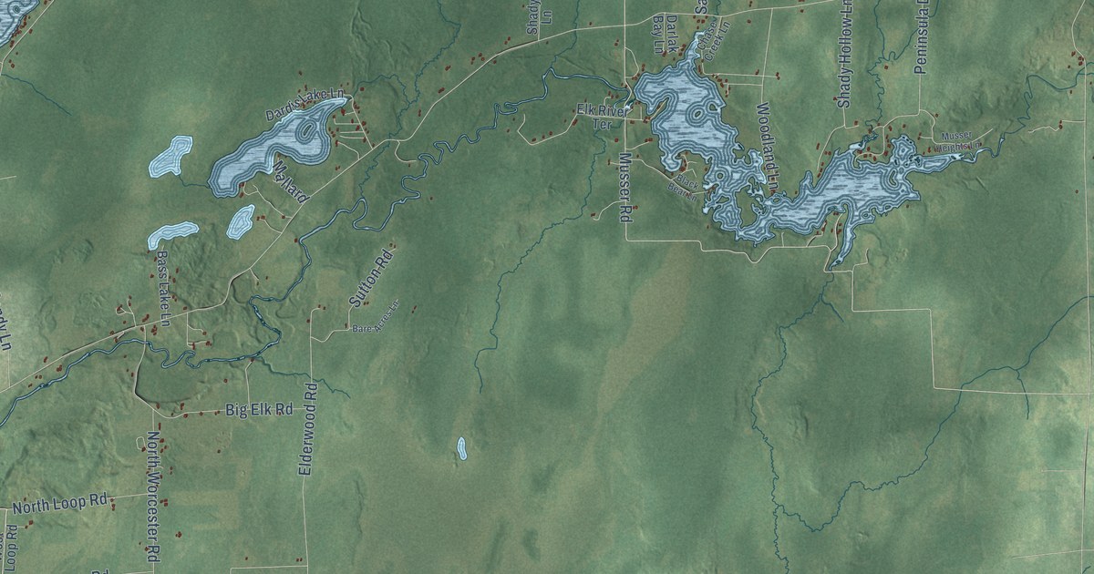
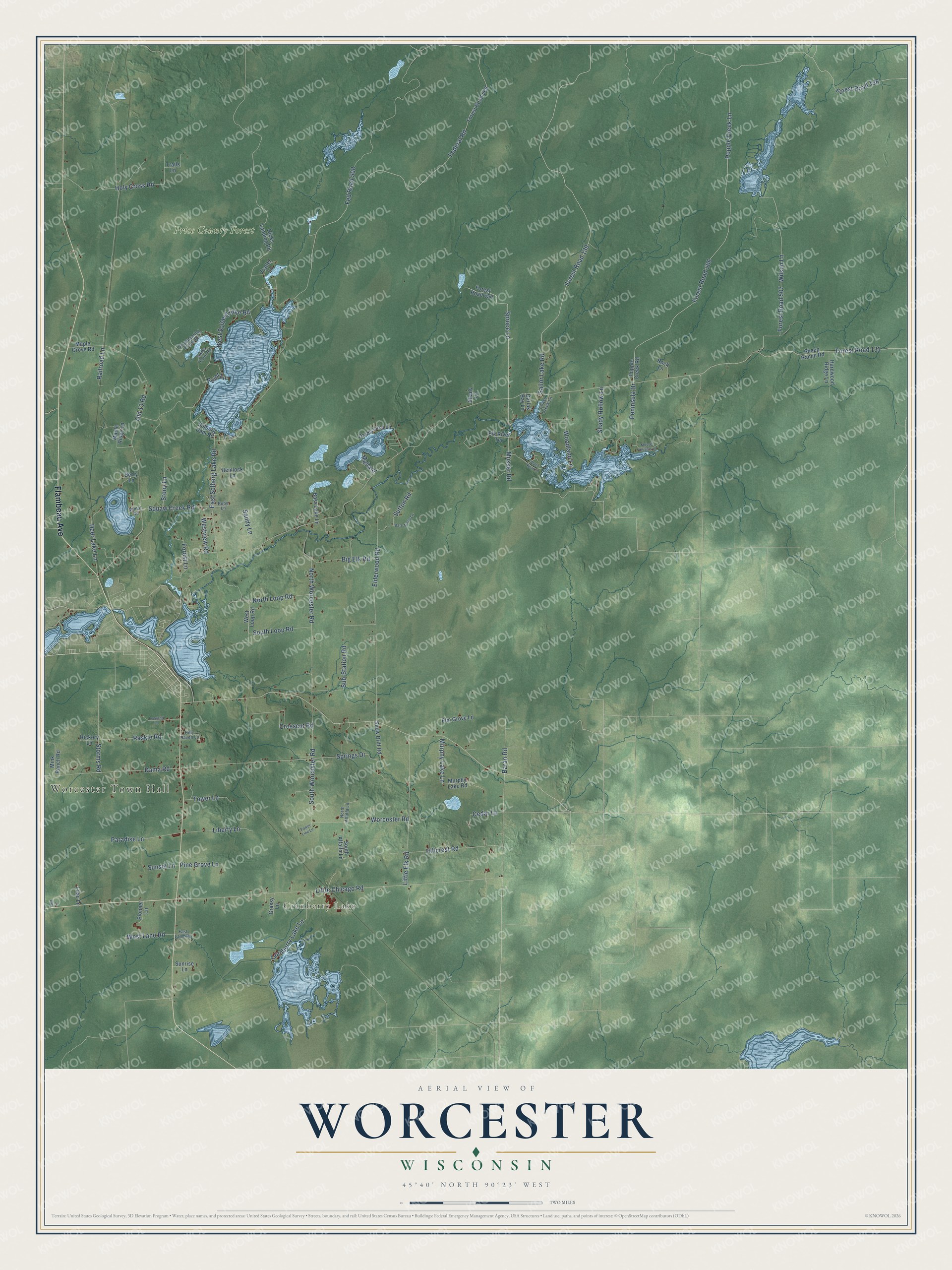
This beautifully detailed map of Worcester, Wisconsin was created in 2026 using aerial imagery combined with modern topographical, census, street and landmark data. It's a modern aerial view of Worcester in Price County, Wisconsin, that combines modern data with a vintage aesthetic. The roads feature printed names, and if you look closely you can find your exact house accurately shown in its correct location.
Explore an aerial view of Worcester, Wisconsin
On this map you'll find Worcester Town Hall, Cranberry Lake, Price County Forest, Flambeau Avenue, Spruce Lane, Musser Road, Forest Road 139, Old 13 Road, East Solberg Lake Road, Sailor Lake Road, Popple Creek Lane, Federal Road, and more. Each red shape is a building, so zoom in on the preview and look for yours.
Worcester is a town in Price County. The Census Bureau counted 1,543 people here in 2020. The map prints the town name in its title panel, with the coordinates below it.
Take a closer look at the Worcester map
Names on this map
These names are printed on this map.
Places: Worcester Town Hall, Cranberry Lake and Price County Forest.
Streets and roads: Flambeau Avenue, Spruce Lane, Musser Road, Forest Road 139, Old 13 Road, East Solberg Lake Road, Sailor Lake Road, Popple Creek Lane, Federal Road, Little Chicago Road, Forest Road 506, West Solberg Lake Road.
More street names, A to Z
Baran Road, Bare Acres Lane, Bass Lake Lane, Berry Lane, Big Elk Road, Black Bear Lane, Cedar Lane, Chase Creek Lane, Cranberry Lake Lane, Crosscut Road, Dama Road, Dardis Lake Lane, Darlak Bay Lane, Deer Lake Lane, Disappearing Creek Road, East Lane Road, Elderwood Road, Elk River Terrace, Elm Grove Lane, Fed Road 508, Forest Lane, Forest Road 131, Forest Road 136, Forest Road 507, Forest Road 508, Forest Road 550, Grassy Lane, Hardwood Ridge Lane, Hemlock Lane, Hickory Lane, Hicks Landing Road, Hillcrest Road, Hilly Haven Lane, Holy Cross Road, Liberty Lane, Lilac Lane, Little Elk Road, Lost Lane, Lowland Lane, Mallard, Maple Grove Road, Maple Ridge Lane, Mink Ranch Road, Mintal Road, Murphy Lake Lane, Murphy Lake Road, Musser Heights Lane, North Alfalfa Lane, North Loop Road, North Worcester Road, Paradise Lane, Peninsula Drive, Pine Grove Lane, Pioneer Lane, Point Lane, Popple Creek Road, Power Line Lane, Railroad Lane, Raskie Road, Rock Lane, Ruby Lane, Sandy Lane, Shady Hollow Lane, Shady Lane, Sheep Ranch Road, Snow Drift Road, Solberg Dam Road, South Alfalfa Lane, South Loop Road, South Worcester Road, Springs Drive, Stony Lane, Storms Road, Sub-Station Road, Sunrise Lane, Sunset Lane, Sutton Road, Swiss Point Road, Tower Lane, Trailer Lane, Trails Lane, West Lane Road, West Loop Road, Westview Road, Wilson Lane, Woodland Lane, Worcester Road.
Created by KNOWOL in 2026. The buildings are small red shapes, the roads carry their printed names, and shaded relief shows the shape of the land. The title panel reads "AERIAL VIEW OF WORCESTER, WISCONSIN" with 45°40' NORTH 90°23' WEST.
Hang it in the hallway, the office or the cabin, or give it to someone who left Worcester and still calls it home. Open the preview and look for a street you know. See sizes and frames for the Worcester map.