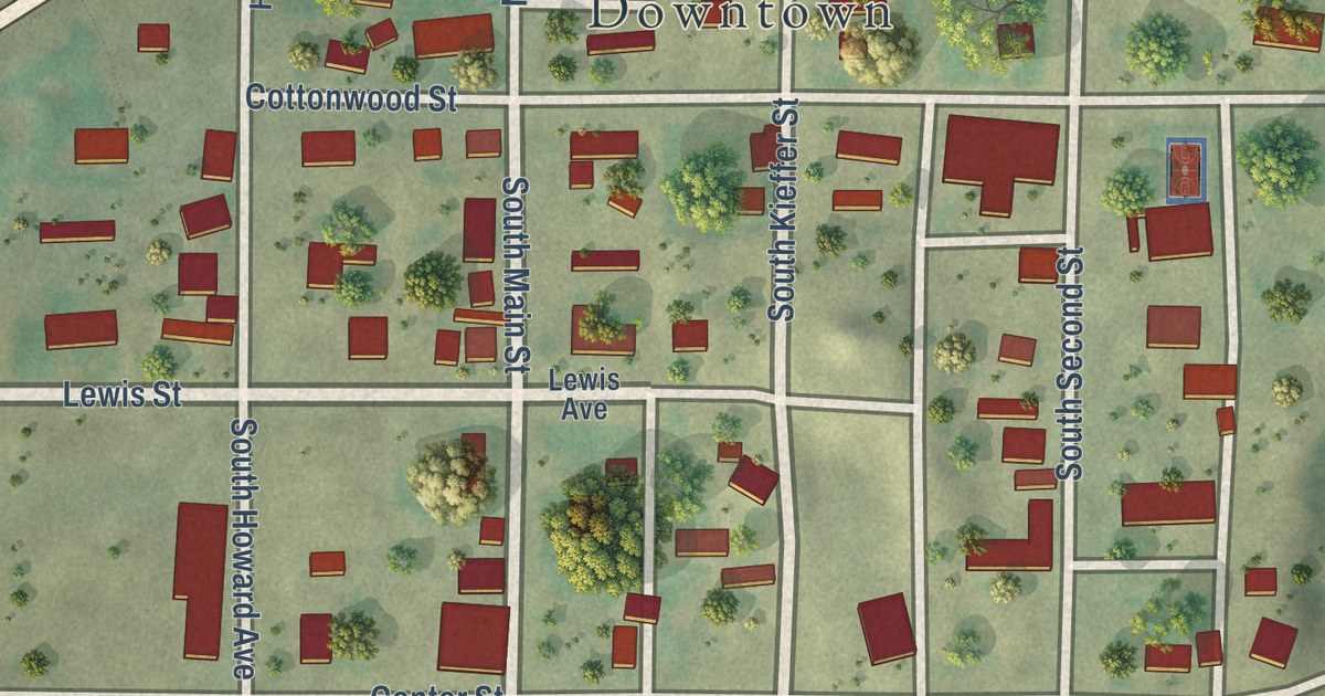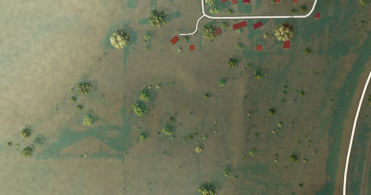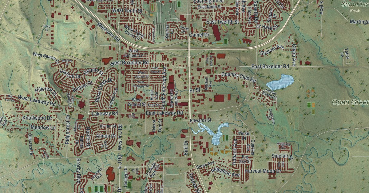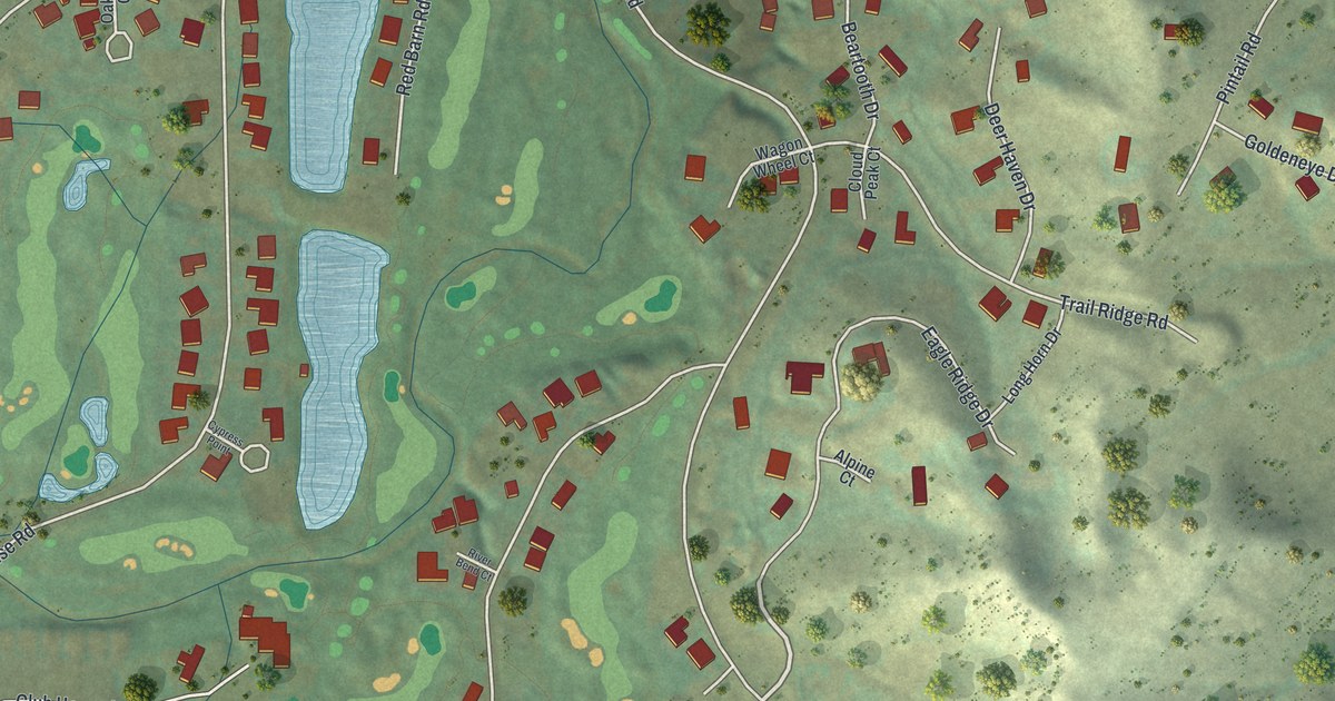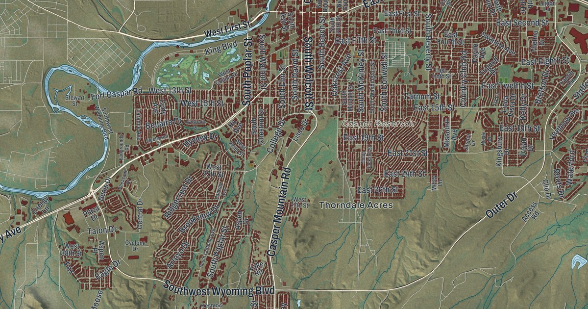
This beautifully detailed map of Casper, Wyoming was created in 2026 using aerial imagery combined with modern topographical, census, street and landmark data. It’s a one-of-a-kind view of Casper that combines accurate data with a vintage aesthetic. The map shows every building in its true location, many of the roads carry their names, and the shaded topographic relief shows the shape of the land.
Explore an aerial view of Casper, Wyoming
On the map you’ll find Downtown, Paradise Valley, Casper Mountain, Casper Mountain County Park, Jones Draw, Scott Hill, Asbestos Spring, Bentley Reservoir, Carroll Number 1 Reservoir, Carroll Number 2 Reservoir, Casper Reservoir, Duhling Reservoir, and more. If you look closely you can even find your house accurately drawn in its correct location. Zoom in on the preview to look for yours.
Did you know this piece of Casper, Wyoming history?
From the Wyoming State Historical Society: "The town began when the tracks of the Fremont, Elkhorn & Missouri Valley Railroad arrived in June 1888, and was named for nearby Fort Casper, by then a ruin."
Take a closer look at the Casper map
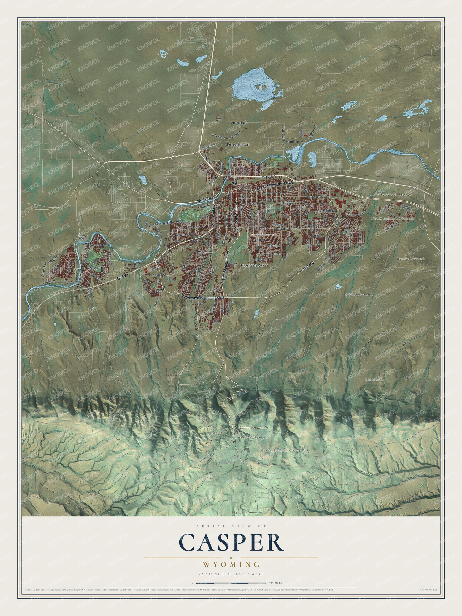
Street and place names on the Casper, Wyoming map
These names are printed on the map of Casper, Wyoming.
Places: Downtown, Paradise Valley, Casper Mountain, Casper Mountain County Park, Jones Draw, Scott Hill, Asbestos Spring, Bentley Reservoir, Carroll Number 1 Reservoir, Carroll Number 2 Reservoir, Casper Reservoir, Duhling Reservoir and Thorndale Acres.
Streets and roads: Cy Avenue, Casper Mountain Road, South Wolcott Street, South Poplar Street, Southwest Wyoming Boulevard, East Yellowstone Highway, Outer Drive, College Drive, East 18th Street, Village Drive, King Boulevard, Bellaire Drive.
More street names, A to Z
Access Road, Amoco Road, Arroyo Drive, Aspen Drive, Aspen Place, Aster, Aster Road, Aster Street, Bentley Drive, Blackmore Road, Boots Drive, Bretton Drive, Brookview Drive, Bryan Stock Trail, Calypso Street, Cardiff Circle, Central Drive, Circle Drive, Clio Drive, Coates Road, Cody Avenue, Coliseum Way, Columbine, Cornwall, Country Club Road, Cyclone Drive, Dahlia, Dale Drive, Denis Drive, Donegal Street, Eagle Drive, East 15th Street, East 19th Street, East 21st Street, East 23rd Street, East 24th Street, East 26th Street, East East Street, East Eighth Street, East Fifth Street, East First Street, East Fourth Street, East Road, East Second Street, East Tenth Street, East Third Street, East Twelfth Street, Energy Lane, Events Drive, Fairgrounds Road, Farnum Street, Fleetwood Place, Flintlock Drive, Fort Caspar Road, Fox, Granite Peak Drive, Hanway Avenue, Harmony Road, Heathrow Avenue, Herrington Drive, Ho Drive, Hy Avenue, Hyview Drive, Indian Paintbrush, Indian Scout Drive, Iris, Ivy Lane, Jasper Drive, Jc's Way, Kelly Drive, Kingsbury Drive, Lake Road, Landfill Access Road, Landmark Drive, Laramie Avenue, Legion Lane, Lilac, Linda Vista Drive, Lisco Drive, Lynwood Place, Magnolia, Mercy Lane, Metro Road, Miracle Drive, Missouri Avenue, Moose, Morado Drive, Nanpap Road, North Beech Street, North Center Street, North Durbin Street, North Elma Street, North Foster Road, North Grant Street, North Park Street, North Poplar Street, North Sun Drive, North Walsh Drive, Oakcrest Avenue, Paradise Drive, Payne Avenue, Pheasant Drive, Plaza Drive, Ridgecrest Drive, Riverbend Road, Rivers Gate, Rustic Drive, Saint Mary Street, South Ash Street, South Beech Street, South Beverly Street, South Center Street, South Chestnut Street, South Coffman Avenue, South Conwell Street, South David Street, South Elm Street, South Jackson Street, South McKinley Street, South Mitchell Street, South Oak Street, South Park Street, South Walnut Street, South Washington Street, Stafford, Station Road, Stewart Street, Swanton Avenue, Talon Drive, Thelma Drive, Trappers Trail, Trevett Lane, Trigood Drive, Trojan Drive, Tulip Street, Vista Way, Waterford, West 13th Street, West 15th Street, West 22nd Street, West 25th Street, West 27th Street, West 38th Street, West 60th Street, West Collins Drive, West First Street, White Deer Trail, Wilkins Circle, Yesness Court, Yucca Circle.
See the Casper, Wyoming map on a wall
The Casper map as an 18 x 24 inch print in a black frame.

This beautifully detailed map of Casper makes an attractive addition to your office, library, or den, and it can even be used to teach children the geography and history of the area. It also makes a great gift for anyone with Casper roots. When you’re done exploring, click here to get your copy of the Casper map.