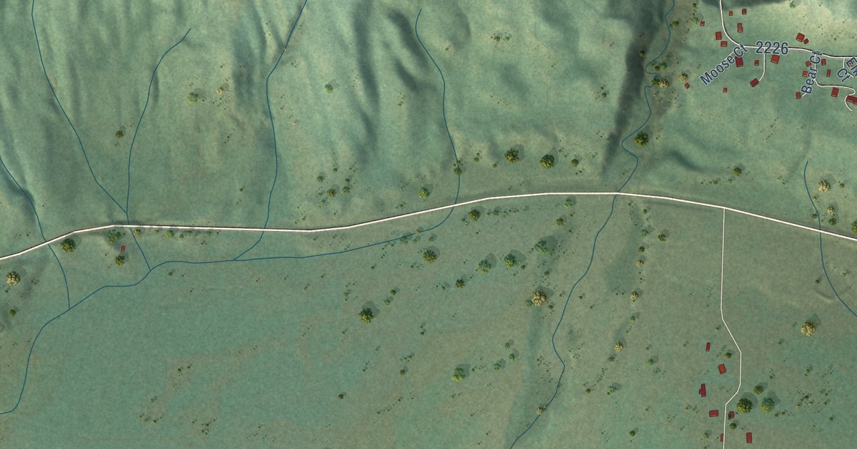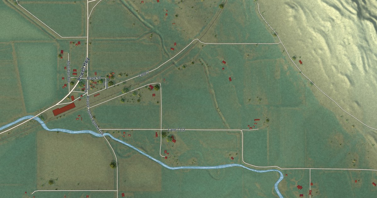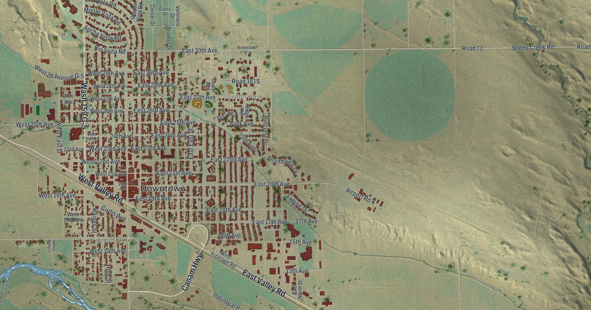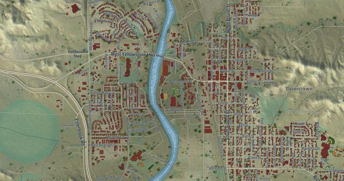
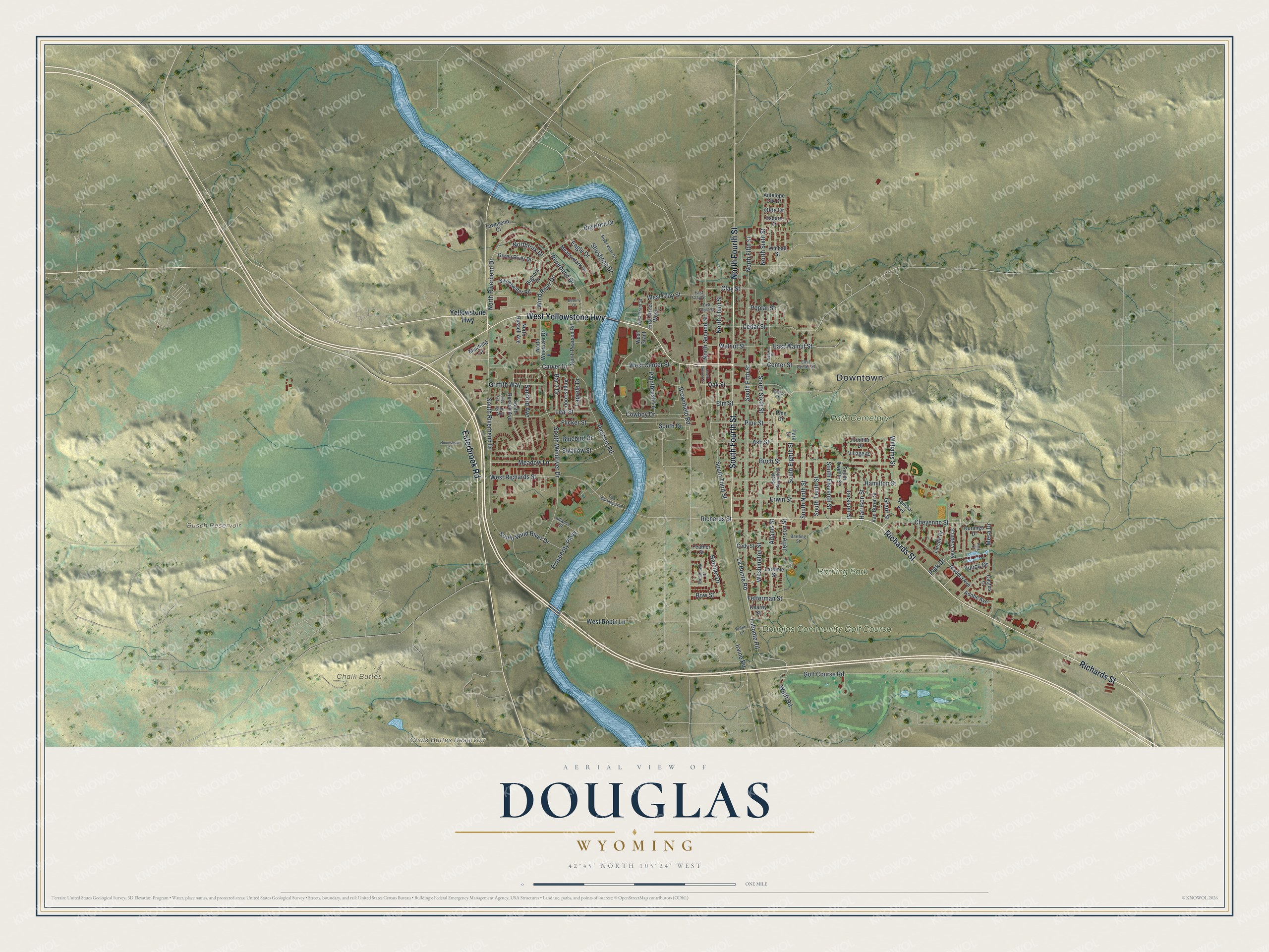
This beautifully detailed map of Douglas, Wyoming was created in 2026 using aerial imagery combined with modern topographical, census, street and landmark data. It’s a one-of-a-kind view of Douglas that combines accurate data with a vintage aesthetic. The map shows every building in its true location, many of the roads carry their names, and the shaded topographic relief shows the shape of the land.
Explore an aerial view of Douglas, Wyoming
On the map you’ll find Downtown, Chalk Buttes, Busch Reservoir, Chalk Buttes Reservoir, Douglas Community Golf Course, Park Cemetary, and Bartling Park, along with South Fourth Street, North Fourth Street, Richards Street, West Yellowstone Highway, Esterbrook Road, and more. If you look closely you can even find your house accurately drawn in its correct location. Zoom in on the preview to look for yours.
Did you know this piece of Douglas, Wyoming history?
From the Wyoming State Historical Society: "Two years after the railroad arrived in Douglas, Converse County was created from pieces of two existing counties, Albany and Laramie, and named for Amasa Converse, a noted pioneer and Cheyenne banker."
Take a closer look at the Douglas map
Street and place names on the Douglas, Wyoming map
These names are printed on the map of Douglas, Wyoming.
Places: Downtown, Chalk Buttes, Busch Reservoir, Chalk Buttes Reservoir, Douglas Community Golf Course, Park Cemetary and Bartling Park.
Streets and roads: South Fourth Street, North Fourth Street, Richards Street, West Yellowstone Highway, Esterbrook Road, La Bonte Road, Labonte Road, Golf Course Road, Center Street, South Riverbend Drive, Ash Street, Elm Street.
More street names, A to Z
Adams Street, Adobe Avenue, Alliance Drive, Angus Loop, Antelope Crk Drive, Bandera Avenue, Bar 2 Drive, Bartling Street, Bearkit Drive, Beverly Drive, Big Horn Drive, Bighorn Drive, Birch Street, Bluebird Drive, Bob Williamson Pk, Bow Street, Brownfield Road, Cactus Court, Carver Drive, Cedar Street, Cheyenne Street, Clay Street, Cody Street, Cowboy Drive, Durango Drive, Eagle Drive, East Center Street, East Clay Street, East Poplar Street, East Walnut Street, Erwin Street, Feather Street, Fetterman Street, First Street West, Flicker Street, Frontier Drive, Glen Avenue, Grant Street, Green River Drive, Griffith Way, Hamilton Street, Harrison Street, Hatcher Drive, Hilltop Court, Homestead Drive, Irvine Road, Jackson Street, Jefferson Street, Jolley Avenue, Kearny Street, Kimball Street, Laprele Drive, Laramie Street, Laredo Drive, Leal Street, Madora Avenue, Meadow Lane, Meadowlark Drive, Mesa Drive, Muirfield Court, North Fifth Street, Northfork Drive, North Pearson Road, North Riverbend Drive, North Russell Avenue, North Second Street, North Sixth Street, North Third Street, North Windriver Drive, Oak Street, Olds Drive, Osburn Drive, Paintbrush Lane, Park Court, Park Drive, Park Lane, Pearson Road, Pine Drive, Pine Street, Poplar Street, Prosperity Parkway, Riverbend Drive, River View Drive, Robin Lane, Sanford Avenue, Shoshone Drive, Sonora Avenue, South Drive, South Eighth Street, South Eleventh Street, South Fifth Street, South Ninth Street, South Russell Avenue, South Second Street, South Seventh Street, South Sixth Street, South Tenth Street, South Third Street, South Twelfth Street, South Windriver Drive, South Wind River Drive, Swallow Street, Sweetwater Road, Tomahawk Drive, Townsend Court, Van Buren Street, Village Drive, Walnut Street, Washington Street, West Center Street, West Clay Street, West Grant, West Grant Street, West Richards Street, West Robin Lane, Williams Street, Wind River Drive, Wulff Road, Yellowstone Highway, Yucca Drive.
See the Douglas, Wyoming map on a wall
The Douglas map as an 18 x 24 inch print in a black frame.

This beautifully detailed map of Douglas makes an attractive addition to your office, library, or den, and it can even be used to teach children the geography and history of the area. It also makes a great gift for anyone who grew up in Douglas or moved away. When you’re done exploring, click here to get your copy of the Douglas map.