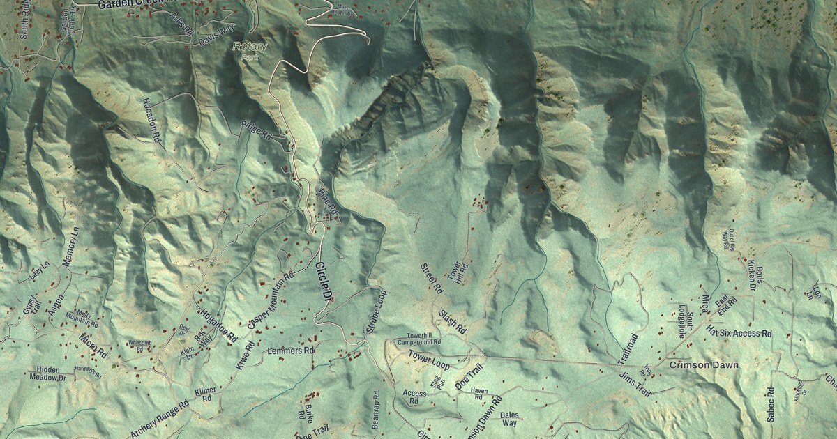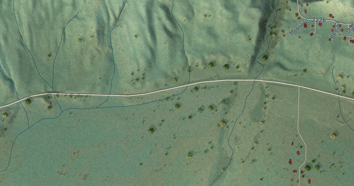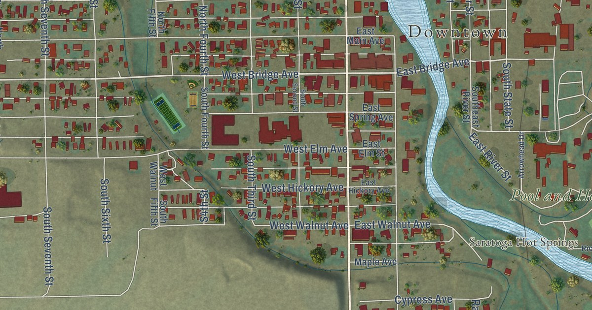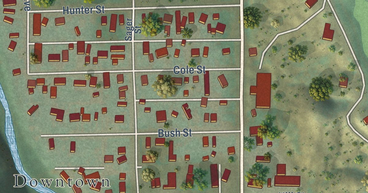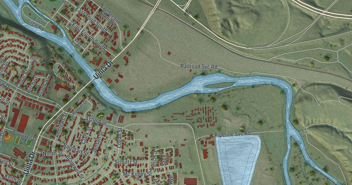
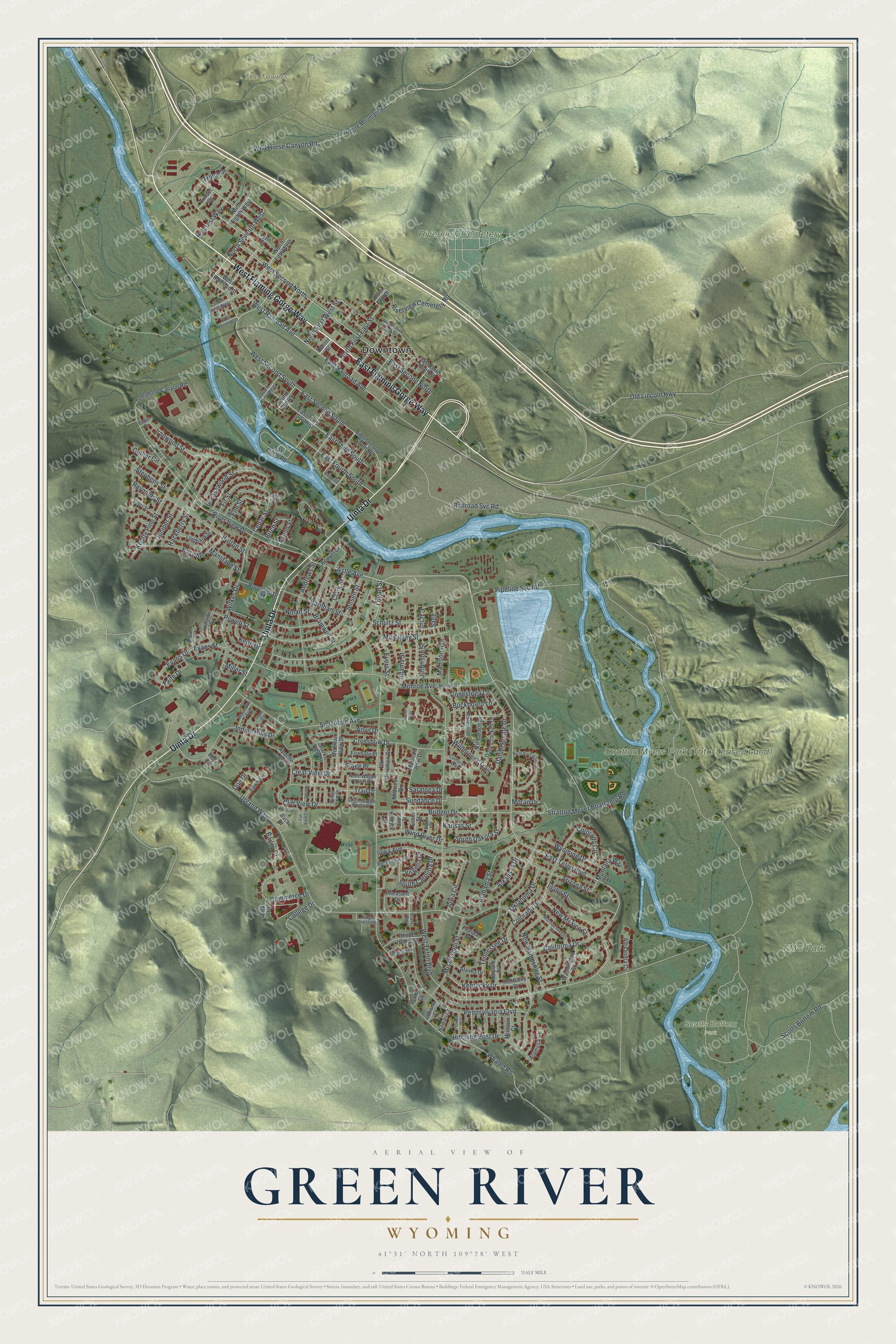
This beautifully detailed map of Green River, Wyoming was created in 2026 using aerial imagery combined with modern topographical, census, street and landmark data. It’s a one-of-a-kind view of Green River that combines accurate data with a vintage aesthetic. The map shows every building in its true location, many of the roads carry their names, and the shaded topographic relief shows the shape of the land.
Explore an aerial view of Green River, Wyoming
On the map you’ll find Downtown, The Towers, FMC Park, Stratton Myers Park (Total Leased Land), Riverview Cemetery, and Scotts Bottom Park, along with West Flaming Gorge Way, East Flaming Gorge Way, Uinta Drive, West Railroad Avenue, East Teton Boulevard, Logan Street, and more. If you look closely you can even find your house accurately drawn in its correct location. Zoom in on the preview to look for yours.
Did you know this piece of Green River, Wyoming history?
From the Green River Wyoming: "S.I. Field and the U.P. came to an agreement about using parts of the Green River townsite for the railroad facilities. Commerce and life returned to the abandoned buildings. The roundhouse was moved from Bryan to its new home. Construction flourished, and Green River became a U.P. town."
Take a closer look at the Green River map
Street and place names on the Green River, Wyoming map
These names are printed on the map of Green River, Wyoming.
Places: Downtown, The Towers, FMC Park, Riverview Cemetery and Scotts Bottom Park.
Streets and roads: West Flaming Gorge Way, East Flaming Gorge Way, Uinta Drive, West Railroad Avenue, East Teton Boulevard, Logan Street, West Second South, Andrews Street, North Seventh West, Astle Avenue, Monroe Avenue, Evans Street.
More street names, A to Z
Adams Street, Alabama Street, Alamosa Circle, Alaska Drive, Alexandra Circle, Anvil Drive, Apache Avenue, Arizona Street, Arkansas Drive, Aspen Street, Bailey Court, Barnhart Street, Bear Court, Birch Street, Boulder Drive, Bramwell Street, Bridger Drive, Buckboard Lane, Buck Drive, Butte Street, Cactus, California Drive, Cedar Circle, Cedar Street, Center Street, Citadel Street, Clark Street, Clear View Drive, Cliff View Drive, College Drive, Collier Circle, Colorado Circle, Colorado Drive, Commerce Drive, Conestoga Lane, Connecticut Place, Crossbow Drive, Cumorah Way, Daniel Boone Drive, Davy Crockett Drive, Doe Drive, East Circle Road, East Fifth South, East Fourth, East Fourth South, East Railroad Avenue, East Second North, East Second South, East Second South Street, East Third North Street, East Third South, East Third South Street, Easy Street, Elk Mountain Drive, Elm Street, Essex Street, Evans Drive, Evers Street, Faith Drive, Fall View Circle, Fall View Drive, Fawn Circle, Firehole Place, Fir Street, Florida Drive, Grant Circle, Greasewood Street, Hackberry Street, Hawaii Court, Hillcrest Way, Hillside Drive, Hitching Post Drive, Hoback Street, Homestead Drive, Honor Way, Hoover Drive, Hopi Circle, Hutton Street, Idaho Street, Illinois Court, Indiana Court, Indian Hills Drive, Iowa Avenue, Iowa Circle, Ironwood Street, Jefferson Street, Jensen Street, Juniper Street, Kansas Street, Keith Drive, Kentucky Drive, Kentucky Street, Kit Carson Drive, Knotty Pine Street, Lombard Street, Lynn Court, Madison Avenue, Mansface Street, Maryland Drive, Massachusetts Court, Mc Kinley Street, Medicine Bow Drive, Midwest Drive, Miller Street, Mississippi Street, Missouri Court, Monroe Street, Montana Way, Moran Drive, Mountain View Street, New Hampshire Street, New Mexico Street, Nolan Street, North Eighth West, North Fifth West, North First East Street, North First West Street, North River Bend Drive, North Third East Street, North Wagon Wheel Drive, Oklahoma Drive, Old Lincoln Highway, Park View Drive, Pecan Drive, Pennsylvania Boulevard, Pheasant Drive, Pipeline Svc Road, Powell Street, Railroad Svc Road, Reynolds Street, Rhode Island Place, Ridge Crossing, Riverview Cemetery Road, River View Drive, Roosevelt Drive, Sage, Saratoga Drive, Schultz Street, Scotts Bottom Road, Shoshone Avenue, South Carolina Drive, South Center, South Dakota Street, South Fifth West, South First West, South Fourth West, South Wagon Wheel Drive, Stage Place, Stephens Street, Stratton Meyer Boatramp Road, Sundance Drive, Sunset Drive, Telephone Canyon Road, Tennessee Drive, Tigee Circle, Trail Drive, Trona Drive, Upland Way, Vermont Court, Virginia Drive, Washakie Avenue, Washington Street, West Railroad Street, West Second North, West Teton Boulevard, West Virginia Place, Whalen Road, White Mountain Road, Wilderness Trail, Wild Horse Canyon Road, Wilkes Drive, Wind River Drive, Winter View Drive, Wyoming Drive, Yates Street.
See the Green River, Wyoming map on a wall
The Green River map as an 18 x 24 inch print in a black frame.

This beautifully detailed map of Green River makes an attractive addition to your office, library, or den, and it can even be used to teach children the geography and history of the area. It also makes a great gift for anyone who grew up in Green River or moved away. When you’re done exploring, click here to get your copy of the Green River map.