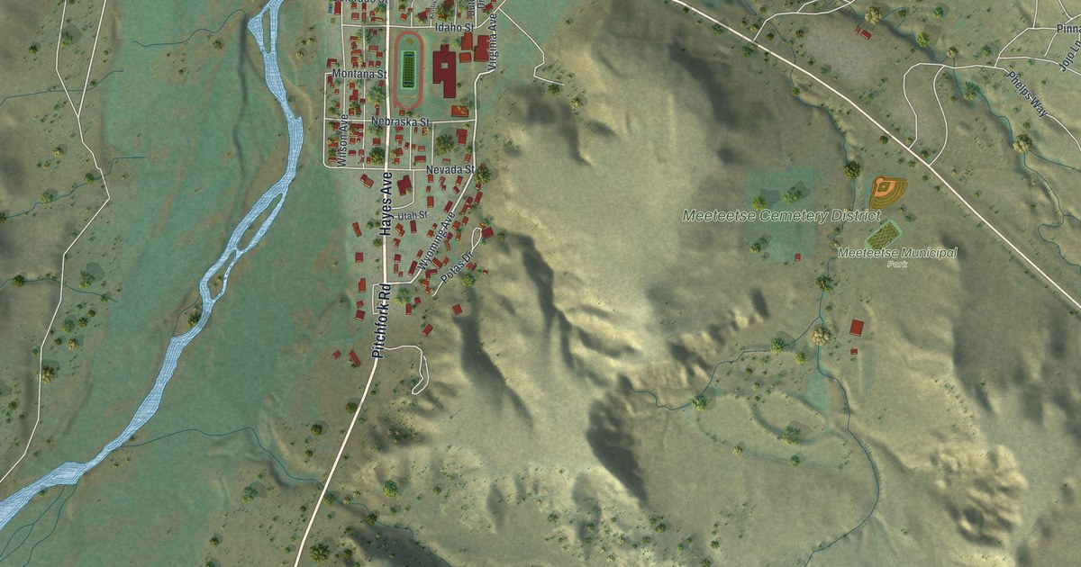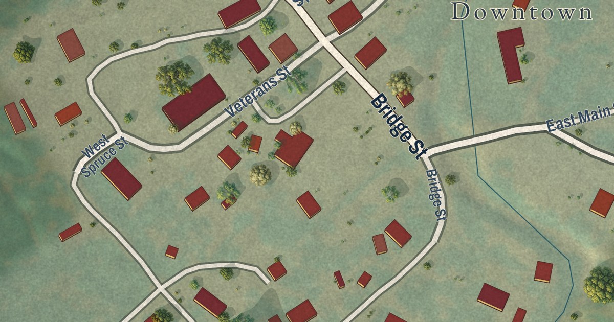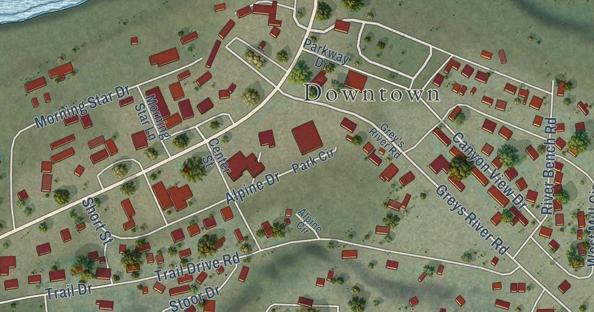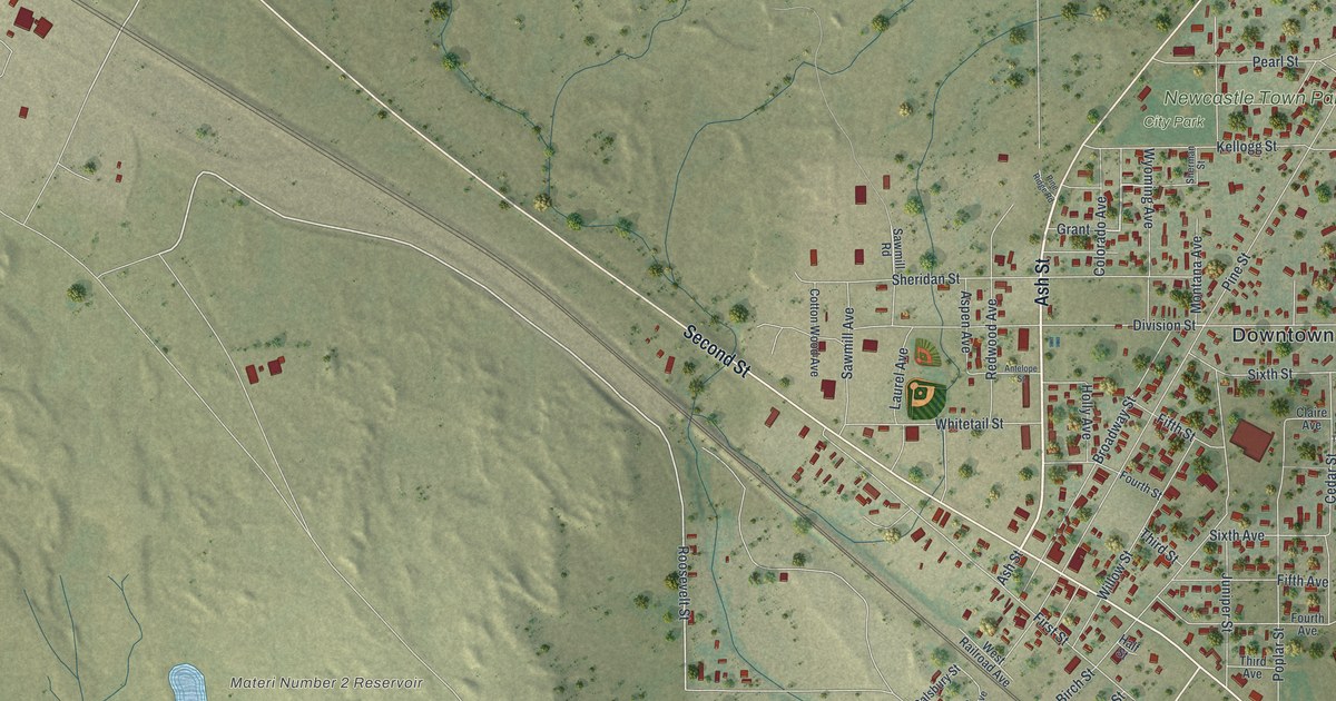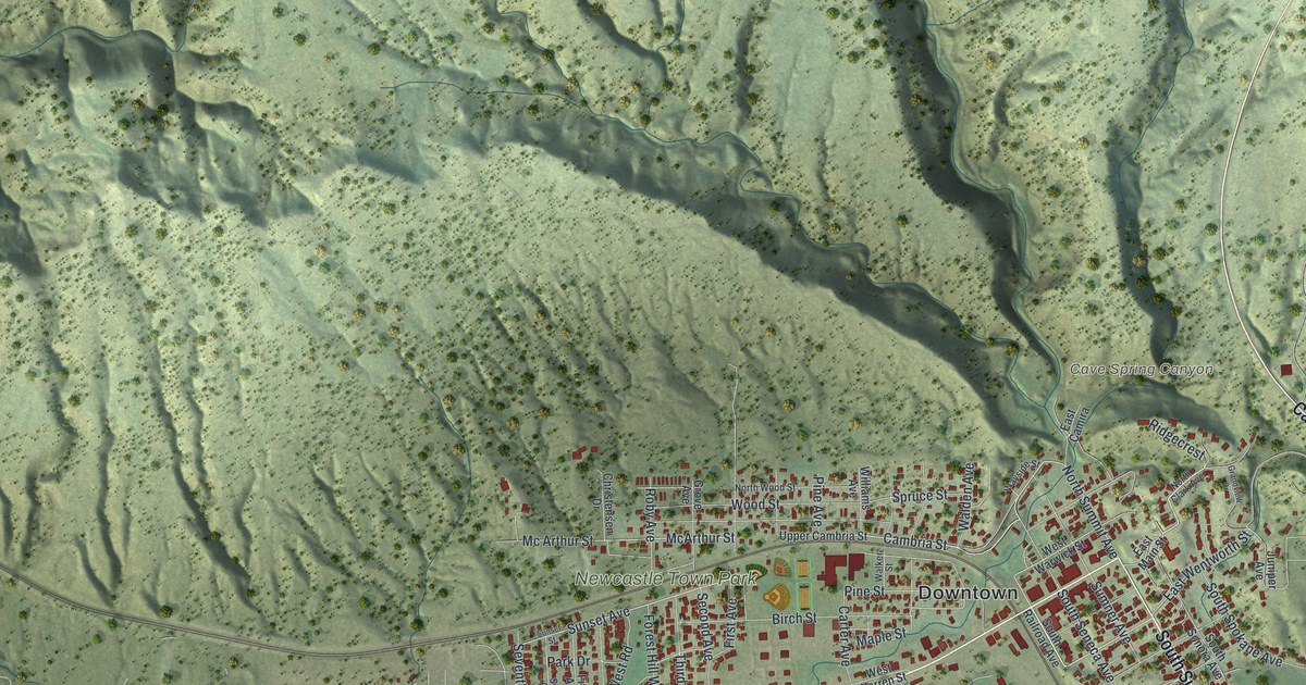
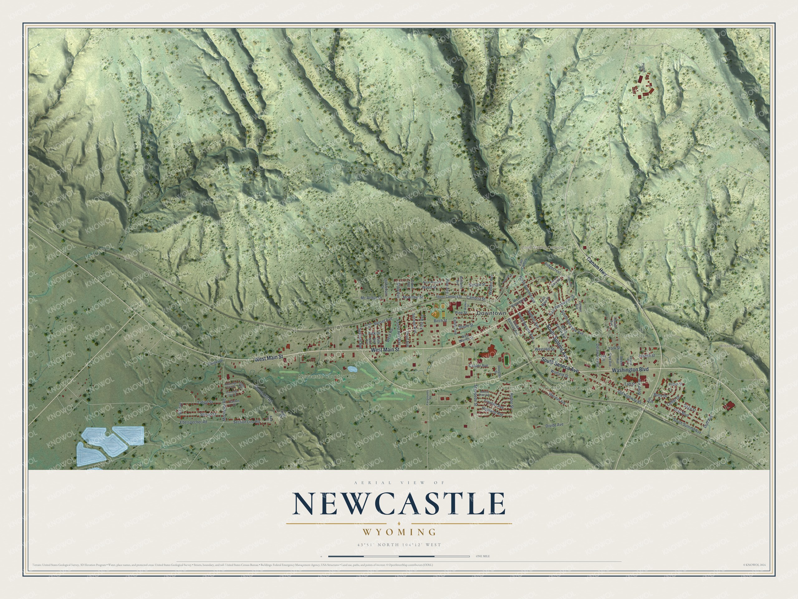
This beautifully detailed map of Newcastle, Wyoming was created in 2026 using aerial imagery combined with modern topographical, census, street and landmark data. It’s a one-of-a-kind view of Newcastle that combines accurate data with a vintage aesthetic. The map shows every building in its true location, many of the roads carry their names, and the shaded topographic relief shows the shape of the land.
Explore an aerial view of Newcastle, Wyoming
On the map you’ll find Downtown, Cave Spring Canyon, Hilton Draw, Newcastle Town Park, Greenwood Cemetery, Newcastle Town Park and Playground, and Newcastle Country Club, along with South Summit Avenue, West Main Street, Washington Boulevard, Canam Highway, South Seneca Avenue, and more. If you look closely you can even find your house accurately drawn in its correct location. Zoom in on the preview to look for yours.
Did you know this piece of Newcastle, Wyoming history?
From the Wyoming State Historical Society: "Newcastle, Wyo., was founded around the same time by the Chicago, Burlington and Quincy Railroad, then building across Wyoming’s northeast corner from Nebraska to Montana on a route planned to take advantage of ready coal supplies to fuel its locomotives."
Take a closer look at the Newcastle map
Street and place names on the Newcastle, Wyoming map
These names are printed on the map of Newcastle, Wyoming.
Places: Downtown, Cave Spring Canyon, Hilton Draw, Newcastle Town Park, Greenwood Cemetery, Newcastle Town Park and Playground and Newcastle Country Club.
Streets and roads: South Summit Avenue, West Main Street, Washington Boulevard, Canam Highway, South Seneca Avenue, Duff Avenue, Cambria Street, North Summit Avenue, McArthur Street, Casper Avenue, York Street, Pine Street.
More street names, A to Z
Ash Street, Axe Court, Birch Street, Bit Avenue, Bonnie Brae Avenue, Boyd Avenue, Butte Drive, Cactus Drive, Cantel Drive, Carter Avenue, Cedar Drive, Christensen Drive, Deanne Avenue, Delaware Avenue, Divide Avenue, Douglas Street, East Camira, East Main Street, East Wentworth Street, Eberspecher Road, Fairgrounds Road, Faye Avenue, Fifth Avenue, First Avenue, Forest Hill Way, Frontier Avenue, Grandview Drive, Gray Boulevard, Grove Avenue, High Court, Highland Avenue, Howell Street, Huston Avenue, Juniper Avenue, Latigo Street, Lee Street, Maple Street, Mc Arthur Street, Morrissey Road, North Clark Avenue, North Sage Circle Drive, North Wood Street, Old Highway 85, Park Drive, Pine Avenue, Pippin Road, Poplar Street, Ridgecrest, Roby Avenue, Rodeo Street, Sage Circle, Sage Street, Salem Avenue, Second Avenue, Section Line Road, Seventh Avenue, Sheridan Avenue, Sixth Avenue, South Railroad Avenue, South Sage Circle Drive, South Sonora Avenue, South Spokane Avenue, Spruce Street, Stampede Street, Stirrup Street, Sumner Avenue, Sunset Avenue, Sunset Street, Taft Street, Third Avenue, Thumb Hill Road, Upper Cambria Street, Walden Avenue, Walker Street, Wayside Street, West Hill Street, West Road, West Warren Street, West Warwick Street, Williams Avenue, Winfield Street, Wood Street.
See the Newcastle, Wyoming map on a wall
The Newcastle map as an 18 x 24 inch print in a black frame.

This beautifully detailed map of Newcastle makes an attractive addition to your office, library, or den, and it can even be used to teach children the geography and history of the area. It also makes a great gift for someone who left Newcastle and still calls it home. When you’re done exploring, click here to get your copy of the Newcastle map.