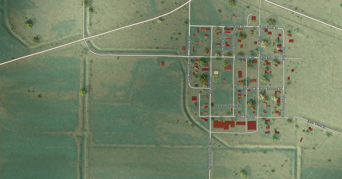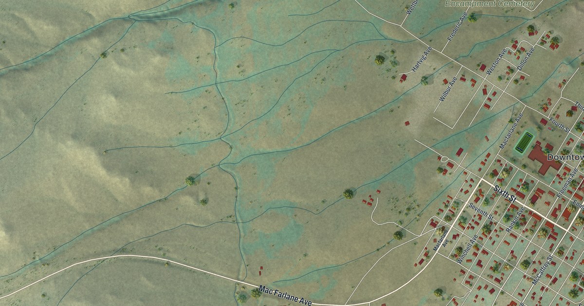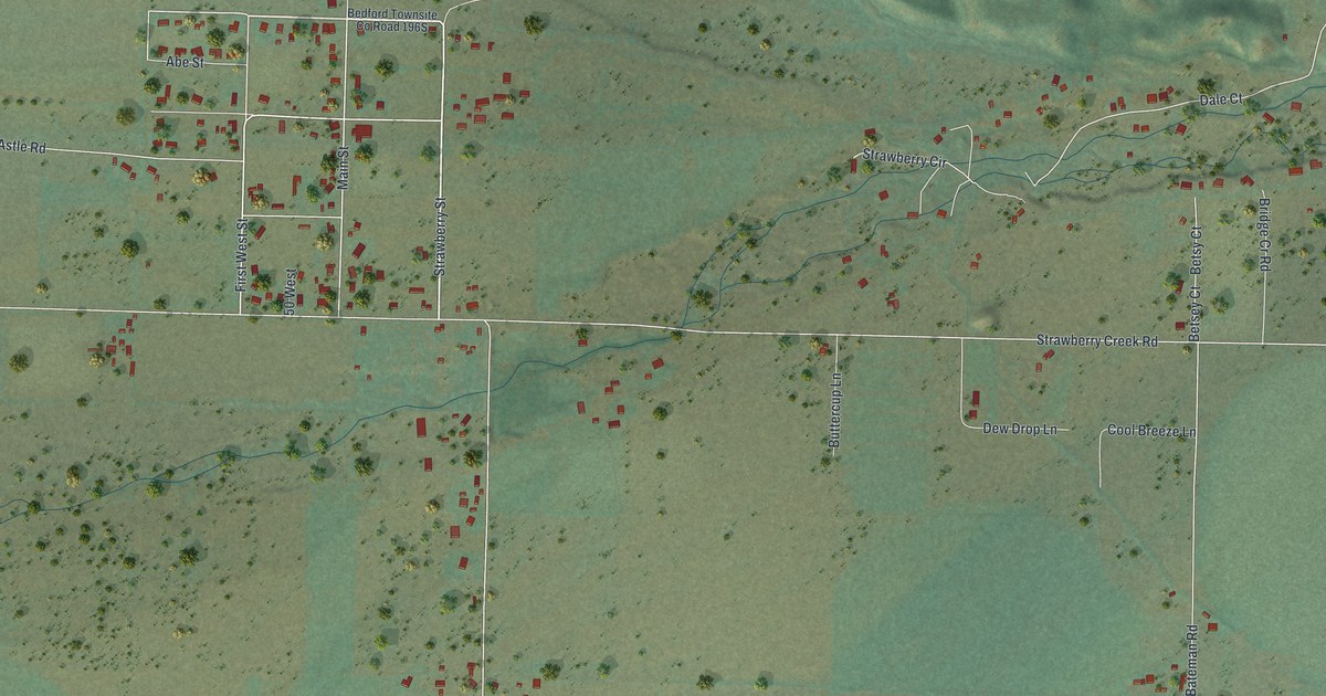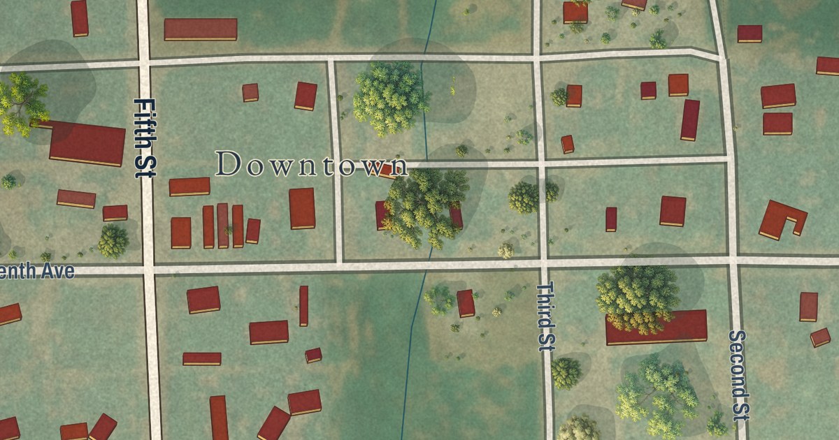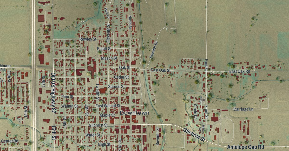
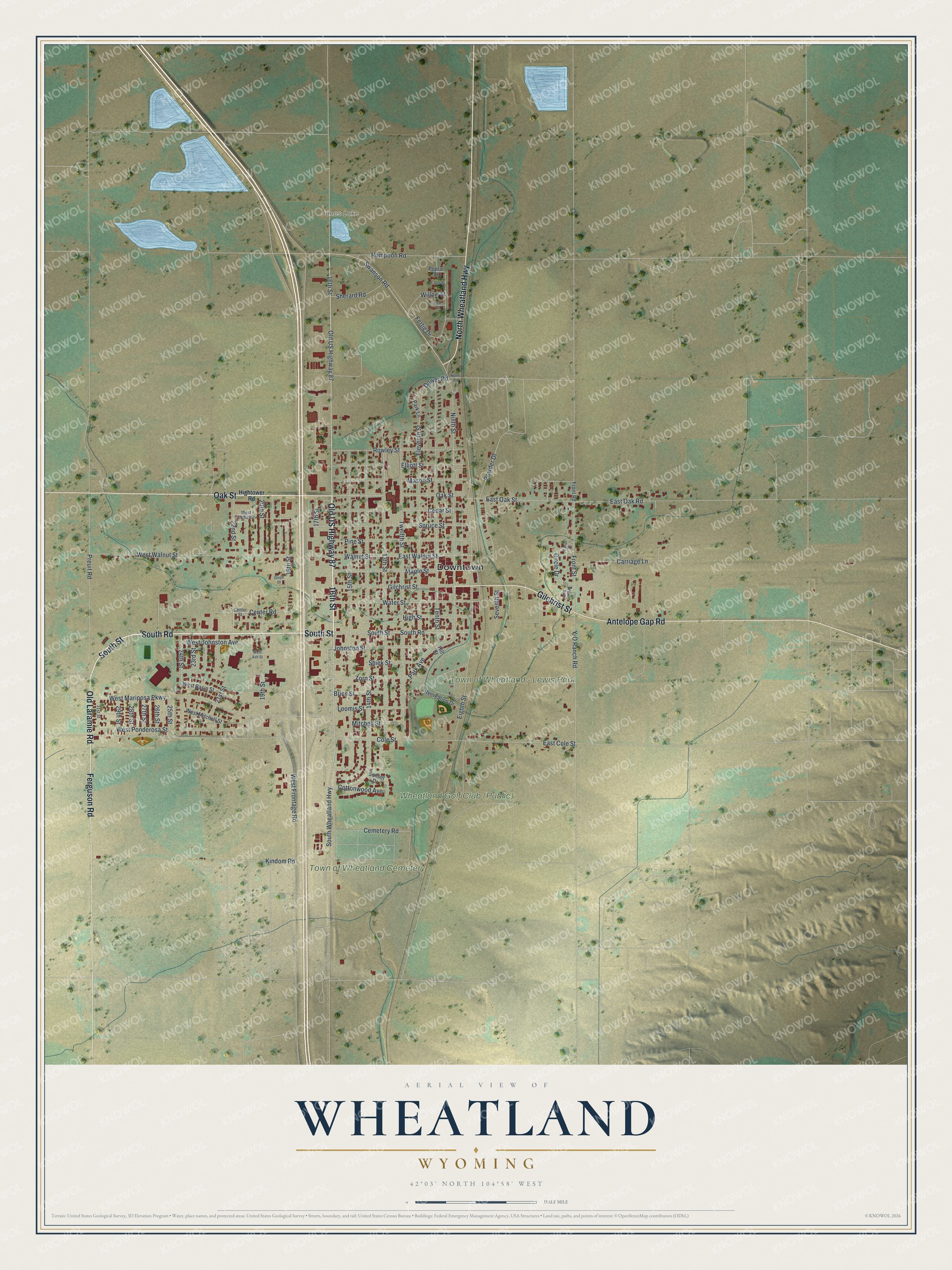
This beautifully detailed map of Wheatland, Wyoming was created in 2026 using aerial imagery combined with modern topographical, census, street and landmark data. It’s a one-of-a-kind view of Wheatland that combines accurate data with a vintage aesthetic. The map shows every building in its true location, many of the roads carry their names, and the shaded topographic relief shows the shape of the land.
Explore an aerial view of Wheatland, Wyoming
On the map you’ll find Downtown, Jones Lake, Wheatland Golf Club (Public), Town of Wheatland – Lewis Park, and Town of Wheatland Cemetery, along with 16th Street, Old US Highway 87, South Road, South Street, Oak Street, Ferguson Road, Old Laramie Road, and more. If you look closely you can even find your house accurately drawn in its correct location. Zoom in on the preview to look for yours.
Did you know this piece of Wheatland, Wyoming history?
From the Wyoming State Historical Society: "Lots were sold in the new town of Wheatland in 1894, and it was finally incorporated in 1905."
Take a closer look at the Wheatland map
Street and place names on the Wheatland, Wyoming map
These names are printed on the map of Wheatland, Wyoming.
Places: Downtown, Jones Lake, Town of Wheatland - Lewis Park and Town of Wheatland Cemetery.
Streets and roads: 16th Street, Old US Highway 87, South Road, South Street, Oak Street, Ferguson Road, Old Laramie Road, Antelope Gap Road, Gilchrist Street, North Wheatland Highway, 21st Street, Swanson Road.
More street names, A to Z
13th Street, 14th Street, 15th Street, 17th Street, 18th Street, 19th Street, 20th Street, 22nd Street, 23rd Street, 24th Street, 25th Street, 26th Street, 27th Street, 28th Street, 29th Street, 31st Street, Ash Street, Brice Street, Canal Street, Carriage Lane, Cedar Street, Cemetery Road, Center Road, Center Street, Circle Drive, Cole Street, Cottonwood Avenue, Dower Road, East Cole Street, East Oak Road, East Oak Street, East Walnut Street, Eighth Street, Eleventh Street, Elliott Street, Elm Street, Fertig Drive, Front Road, Front Street, Gloyd Drive, High Street, Hightower Road, Hill Street, Johnston Street, Kindom Road, Loomis Street, Maple Street, Mason Street, Mitchell Street, Ninth Street, North Road, Park Avenue, Park Lane, Pine Street, Poplar Street, Powder Drive, Preuit Road, Recreation Drive, Rompoon Road, Rowley Street, Seventh Street, Sherard Road, Shiek Street, South Wheatland Highway, Spruce Street, Sunset Drive, Tenth Street, Twelfth Street, Walnut Street, Water Street, West Ash Street, West Basin Street, West Cedar Street, West Frontage Road, West Johnston Avenue, West Mariposa Parkway, West Mitchell Street, West Ponderosa Street, West Walnut Street, Willow Street, Wilson Avenue, Y-O Ranch Road, Zorn Street.
See the Wheatland, Wyoming map on a wall
The Wheatland map as an 18 x 24 inch print in a black frame.

This beautifully detailed map of Wheatland makes an attractive addition to your office, library, or den, and it can even be used to teach children the geography and history of the area. It also makes a great gift for anyone with Wheatland roots. When you’re done exploring, click here to get your copy of the Wheatland map.