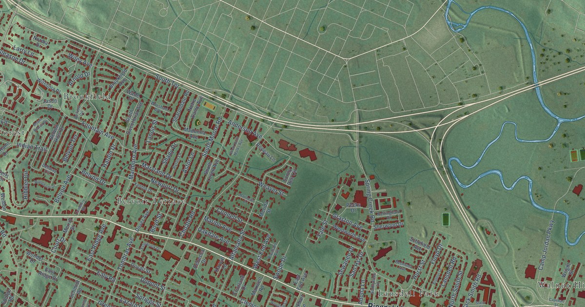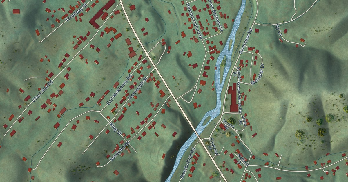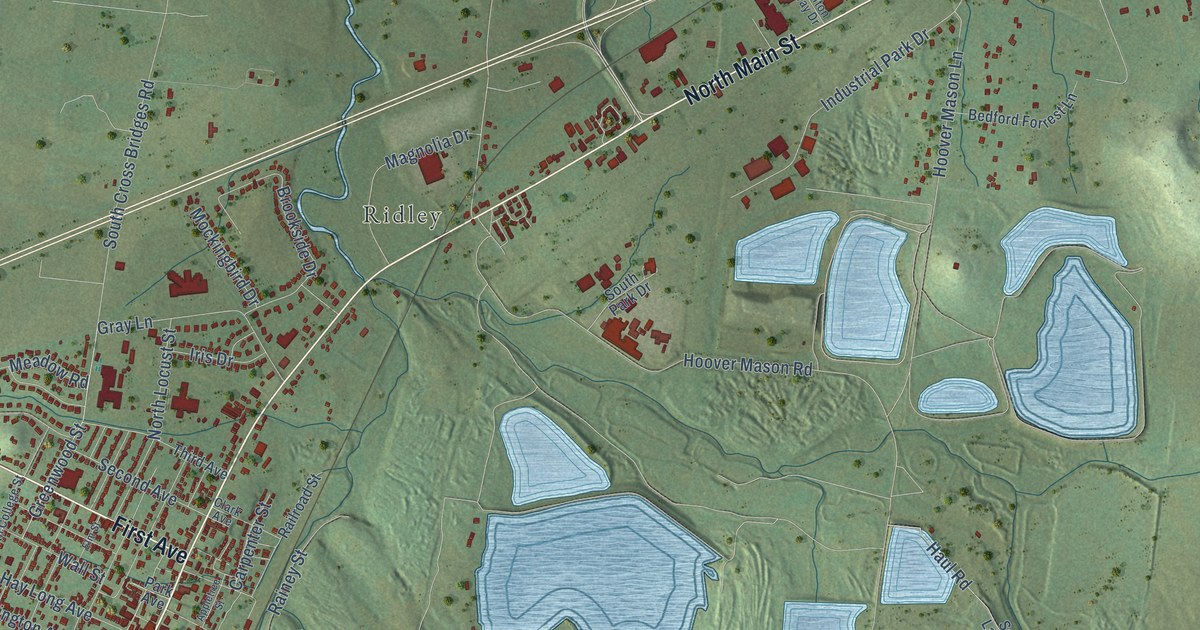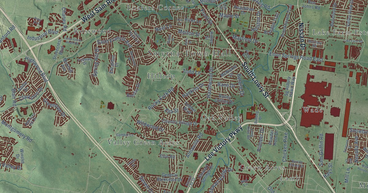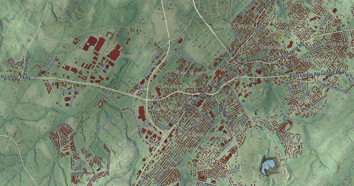
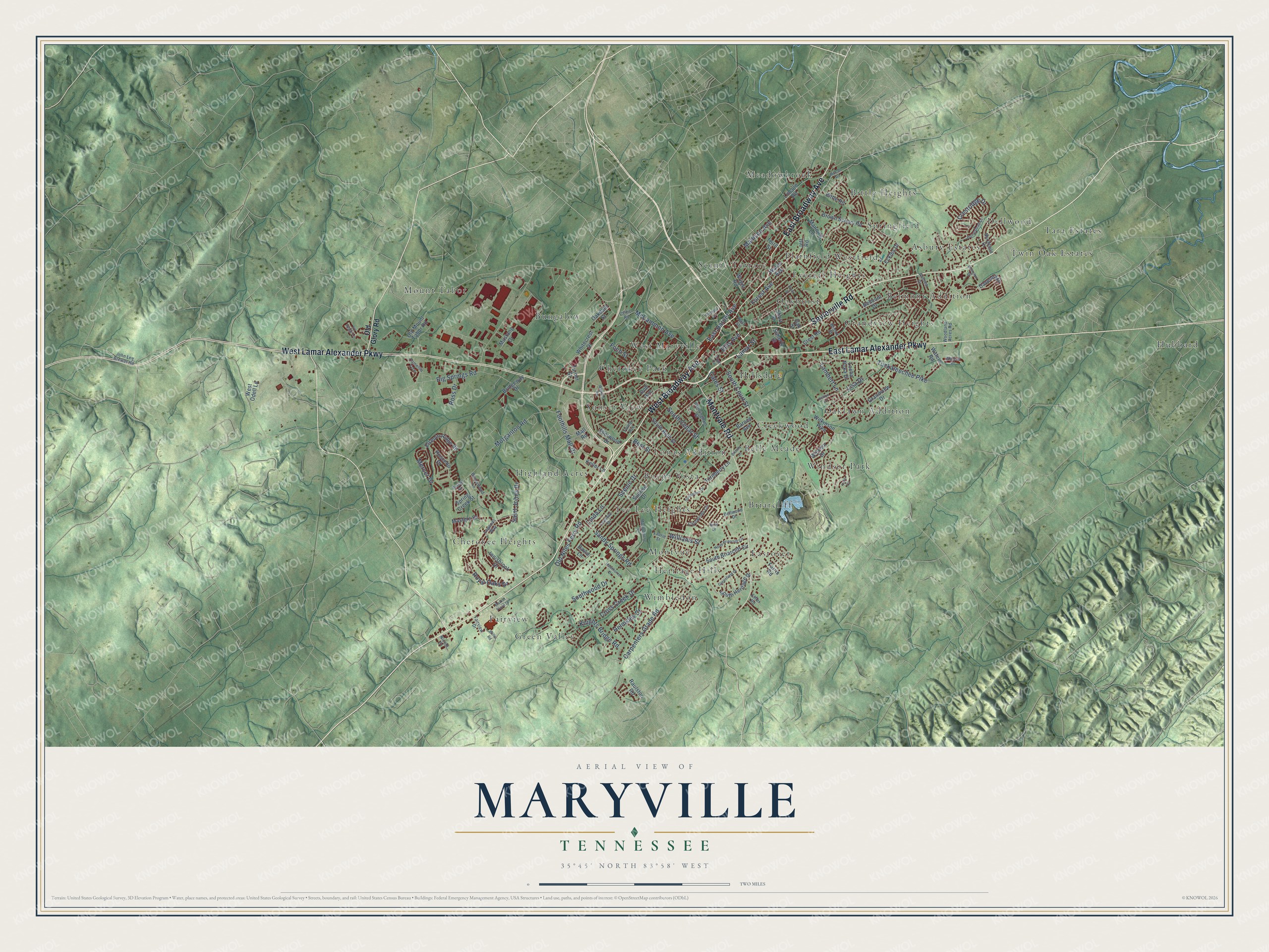
This beautifully detailed map of Maryville, Tennessee was created in 2026 using aerial imagery combined with modern topographical, census, street and landmark data. It's a modern aerial view of Maryville in Blount County, Tennessee, that combines modern data with a vintage aesthetic. The roads feature printed names, and if you look closely you can find your exact house accurately shown in its correct location.
Explore an aerial view of Maryville, Tennessee
On this map you'll find Asbury Estates, Belle Meade, Belmont Addition, Bittle Heights, Briarcliff, Buena Vista, Bungalow, Cherokee Heights, Cherokee Park, Creekwood, Dellwood, Eastover, and more. Each red shape is a building, so zoom in on the preview and look for yours.
Maryville has a story worth telling. The record at tennesseeencyclopedia.net puts it this way: "In 1914 the Aluminum Company of America (ALCOA) reincorporated the area of North Maryville into a company town called Alcoa and built several plants for aluminum production."
Maryville is a city in Blount County. The Census Bureau counted 31,907 people here in 2020.
Take a closer look at the Maryville map
Names on this map
These names are printed on this map.
Places: Asbury Estates, Belle Meade, Belmont Addition, Bittle Heights, Briarcliff, Buena Vista, Bungalow, Cherokee Heights, Cherokee Park, Creekwood, Dellwood, Eastover, Everett Heights, Fairview, Grandview Heights, Green Valley, Heritage Hills, Highland Acres, Hillsdale, Hubbard, Lonas Addition, Meadowbrook, Montvue, Mount Tabor, Oakhurst, Oaklawn Addition, Plainfield, Scenic Terrace, Springfield, Sunset View, Tara Estates, Tee Lee Heights, Twin Oak Estates, West Maryville, Westfields, Wimbledon and Windsor Park.
Streets and roads: Sevierville Road, West Broadway Avenue, East Broadway Avenue, West Lamar Alexander Parkway, East Lamar Alexander Parkway, Montvale Road, Forest Avenue, South Court Street, Old Niles Ferry Road, Big Springs Road, Morganton Road, Tuckaleechee Pike.
More street names, A to Z
Andrea Drive, Barnes Avenue, Bellwood Drive, Belmont Drive, Best Street, Bittle Road, Bridgeway Drive, Broady Lane, Brookwood Lane, Brown School Road, Camellia Trce, Carowinds Circle, Carpenters Grade Road, Cates Street, Celtic Road, Court Circle, Crestridge Drive, Crest Road, Cross Creek Drive, Cunningham Street, Daventry Drive, David Lane, Doll Avenue, Dunbarton Drive, East Harper Avenue, East Street, Eckles Drive, Effler Road, Ellington Drive, Ellis Avenue, Elsborn Ridge Road, Fairview Drive, Farris Road, Foch Street, Foothills Mall Drive, Front Street, Grandview Drive, Greenfield Drive, Hawthorne Drive, Helmsley Court, Homestead Court, Innisbrook Drive, Ivy Ridge Lane, Jett Road, John Lee Brewer Road, Keller Lane, Kelton Lane, Knights Bridge Road, Lamar Street, Lambert Lane, Laurie Street, Leconte Drive, Legends Way, Lincoln Road, Linda Lane, Lisa Drive, Locha Poka Drive, Madison Avenue, Mall Road, Manning Lane, Market Place Drive, Masters Drive, McCall Road, McCammon Avenue, Mercer Drive, Montgomery Lane, Mustang Drive, Nicole Court, North Briarcliff Circle, Northfield Drive, Oakdale Street, Oak Street, Old Glory Road, Old Mount Tabor Road, Olympia Drive, Pintail Street, Raulston Road, Ross Drive, Royal Oaks Drive, Ruby Drive, Ruscello Drive, Saint Johns Drive, Sandy Springs Road, Scenic Drive, Sherwood Drive, Short Street, Simerly Street, South Briarcliff Circle, South Cedar Street, South Heritage Drive, South Ruth Street, Southwood Drive, Spring Creek Street, Sunrise Drive, Third Street, Turnberry Lane, Turner Street, Wales Avenue, Waters Place, Waters Road, Watkins Road, West Odell Lane, Whitecrest Drive, Wilcox Street, Wilkinson Pike, Williams Street, Willis Road, Windsor Drive, Woodland Acres Road, Wright Road, York Circle, Young Avenue.
Created by KNOWOL in 2026. The buildings are small red shapes, the roads carry their printed names, and shaded relief shows the shape of the land. The title panel reads "AERIAL VIEW OF MARYVILLE TENNESSEE" with 35°45' NORTH 83°58' WEST.
It looks right in a kitchen, an office or a den, and it's a gift for anyone who grew up in Maryville or moved away. Open the preview and find your street. See sizes and frames for the Maryville map.