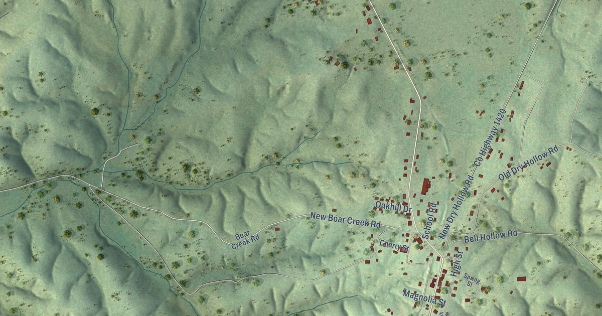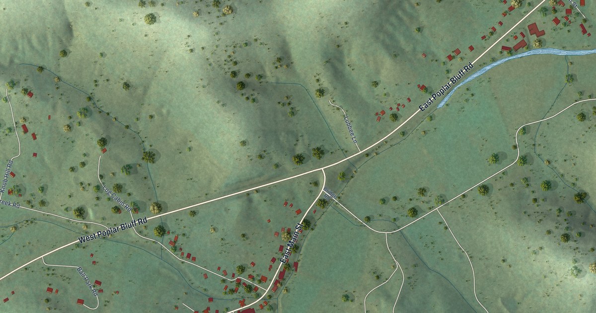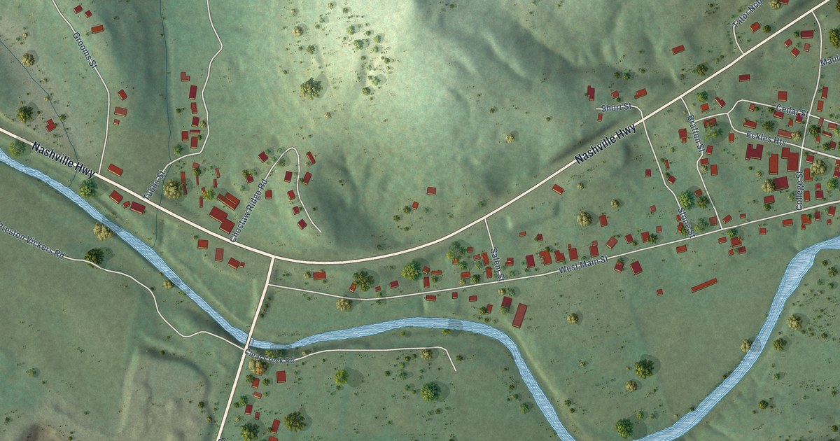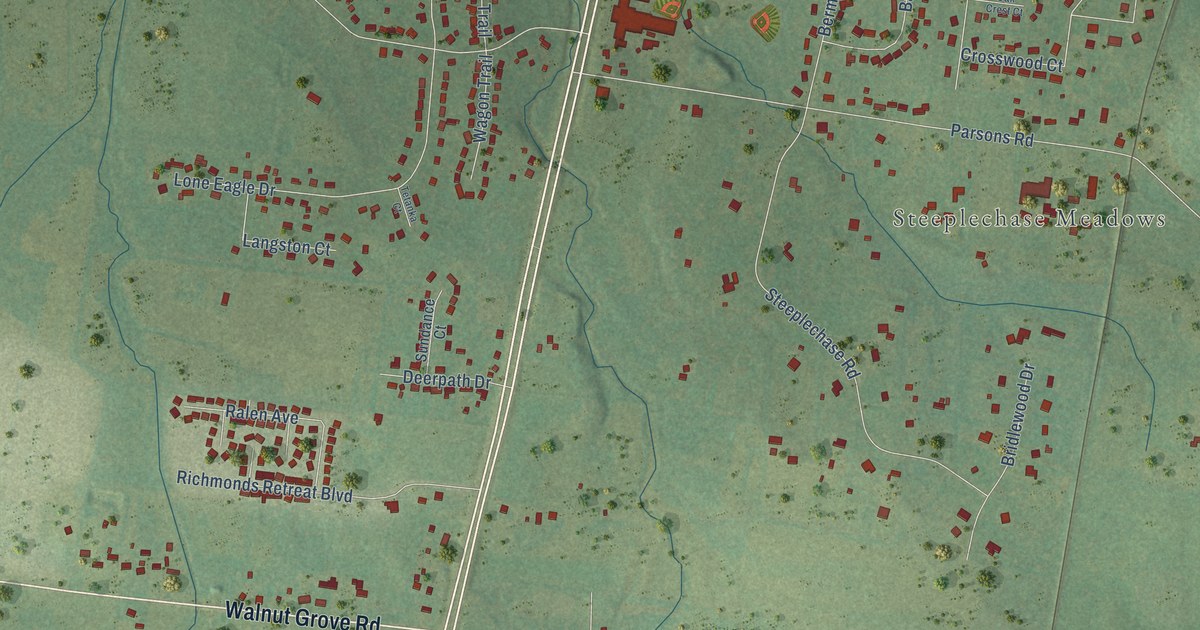
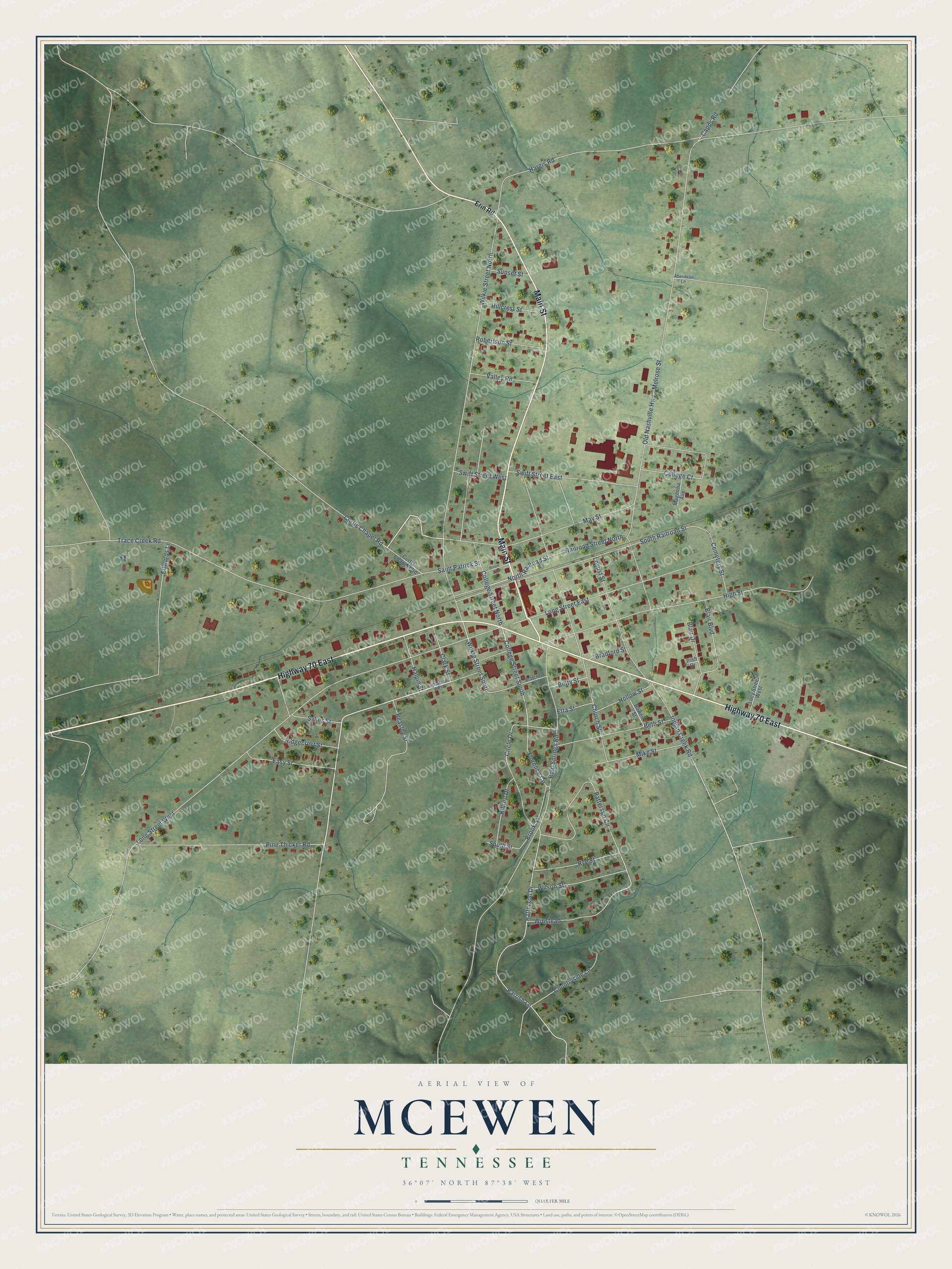
This beautifully detailed map of McEwen, Tennessee was created in 2026 using aerial imagery combined with modern topographical, census, street and landmark data. It's a modern aerial view of McEwen in Humphreys County, Tennessee, that combines modern data with a vintage aesthetic. The roads feature printed names, and if you look closely you can find your exact house accurately shown in its correct location.
Explore an aerial view of McEwen, Tennessee
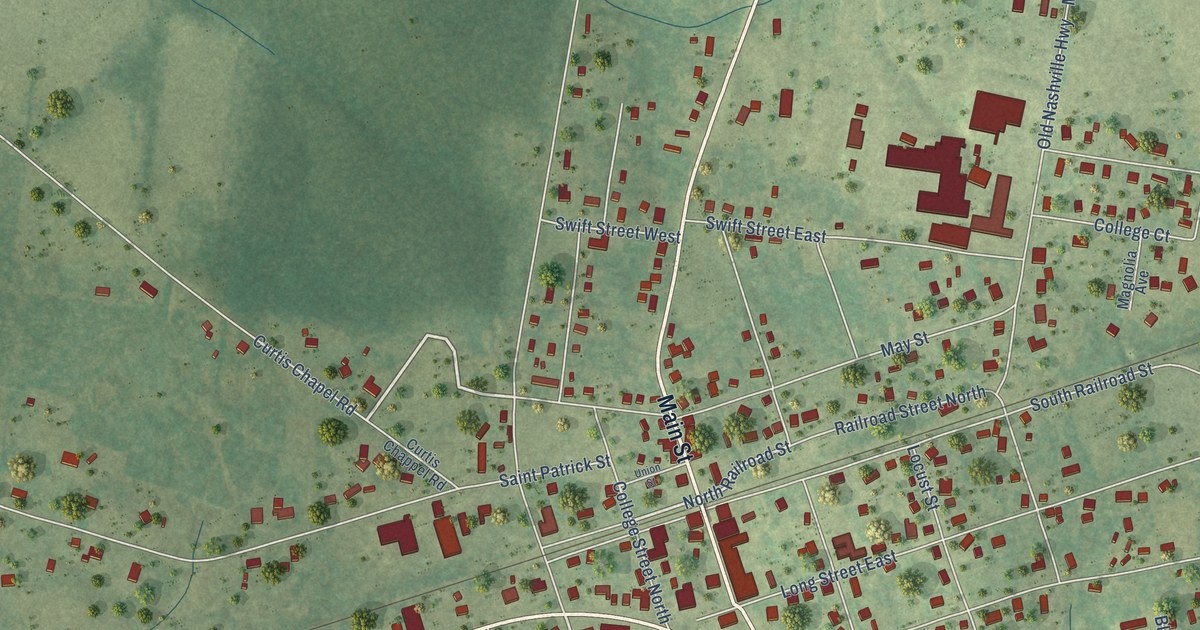
On this map you'll find Highway 70 East, Main Street, High Street, North Railroad Street, College Street South, Wilkie Street South, Old Nashville Highway, Long Street West, Wilkie Street North, Saint Patrick Street, Church Street, Melrose Street, and more. Each red shape is a building, so zoom in on the preview and look for yours.
McEwen has a story worth telling. The record at tennesseeencyclopedia.net puts it this way: "As early as 1934 the Public Works Administration constructed a city water works in McEwen, which helped bring Kraft Cheese Company to the area."
McEwen is a city in Humphreys County. The Census Bureau counted 1,643 people here in 2020.
Take a closer look at the McEwen map
Names on this map
These names are printed on this map.
Streets and roads: Highway 70 East, Main Street, High Street, North Railroad Street, College Street South, Wilkie Street South, Old Nashville Highway, Long Street West, Wilkie Street North, Saint Patrick Street, Church Street, Melrose Street.
More street names, A to Z
Aberdean Lane, Beasley Street, Beth Street, Betty Street, Blair Boulevard, Blair Drive, Bold Springs Road, Bowen Street, Bradford Street, Bratcher Street, Brook Street, Capps Road, Cemetery Street, Circle Drive, Clark Street, College Court, College Street North, Countryside Lane, Curtis Chapel Road, Curtis Chappel Road, Easy Street, Edwards Lane, Erin Road, Etta Street, Florence Circle, Halpin Street, Hargis Road, High Street West, Hillcrest Street, Hilltop Drive, Hollow Street, Indian Creek Road, Irish Drive, Locust Street, Long Street East, Lucy Street West, Magnolia Avenue, May Street, Mike Street, Parrish Lane, Patterson Circle, Patterson Drive, Pine Thicket Road, Railroad Street North, Ridgecrest Street, Robertson Street, Rye Street, South Railroad Street, South Street, Sunset Street, Swift Street East, Swift Street West, Sykes Street, Trace Creek Road, Union Street, Valley Road, Wilson Street, Winstead.
Created by KNOWOL in 2026. The buildings are small red shapes, the roads carry their printed names, and shaded relief shows the shape of the land. The title panel reads "AERIAL VIEW OF MCEWEN TENNESSEE" with 36°07' NORTH 87°38' WEST.
It looks right in a kitchen, an office or a den, and it's a gift for anyone who grew up in McEwen or moved away. Open the preview and find your street. See sizes and frames for the McEwen map.