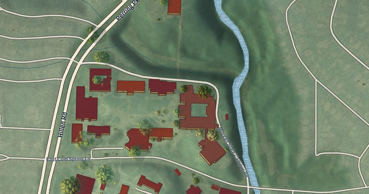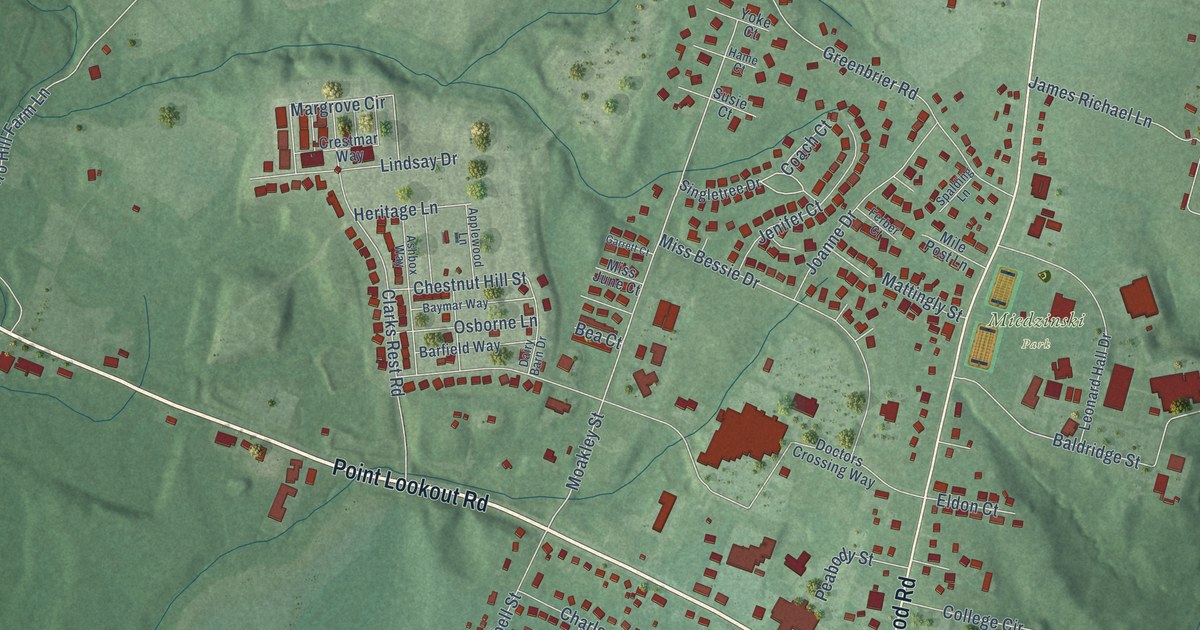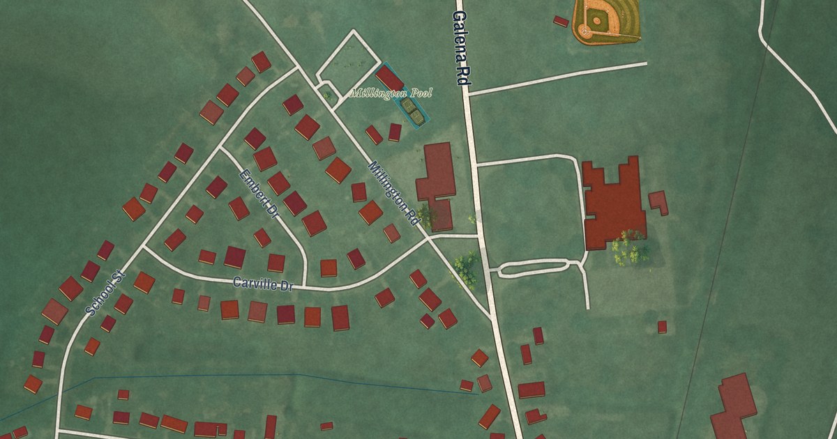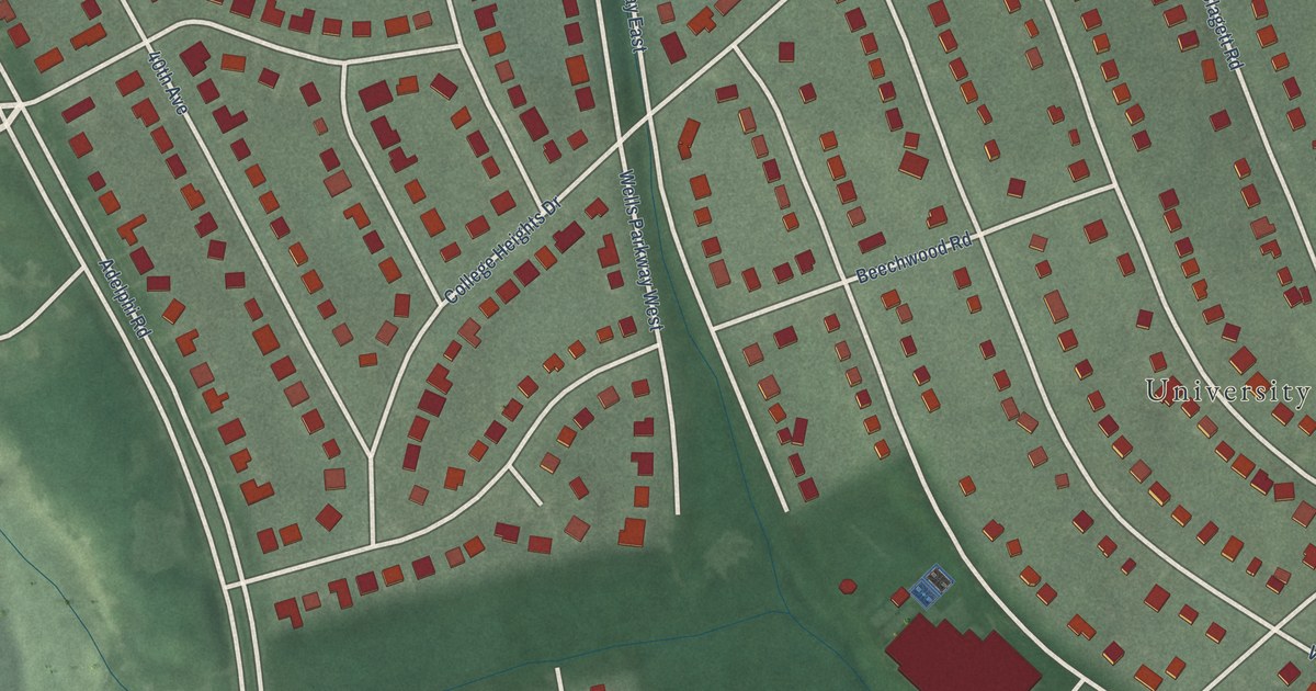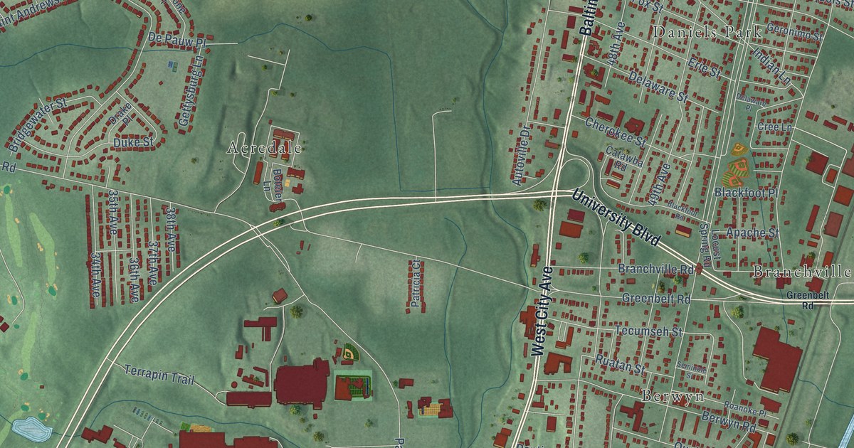
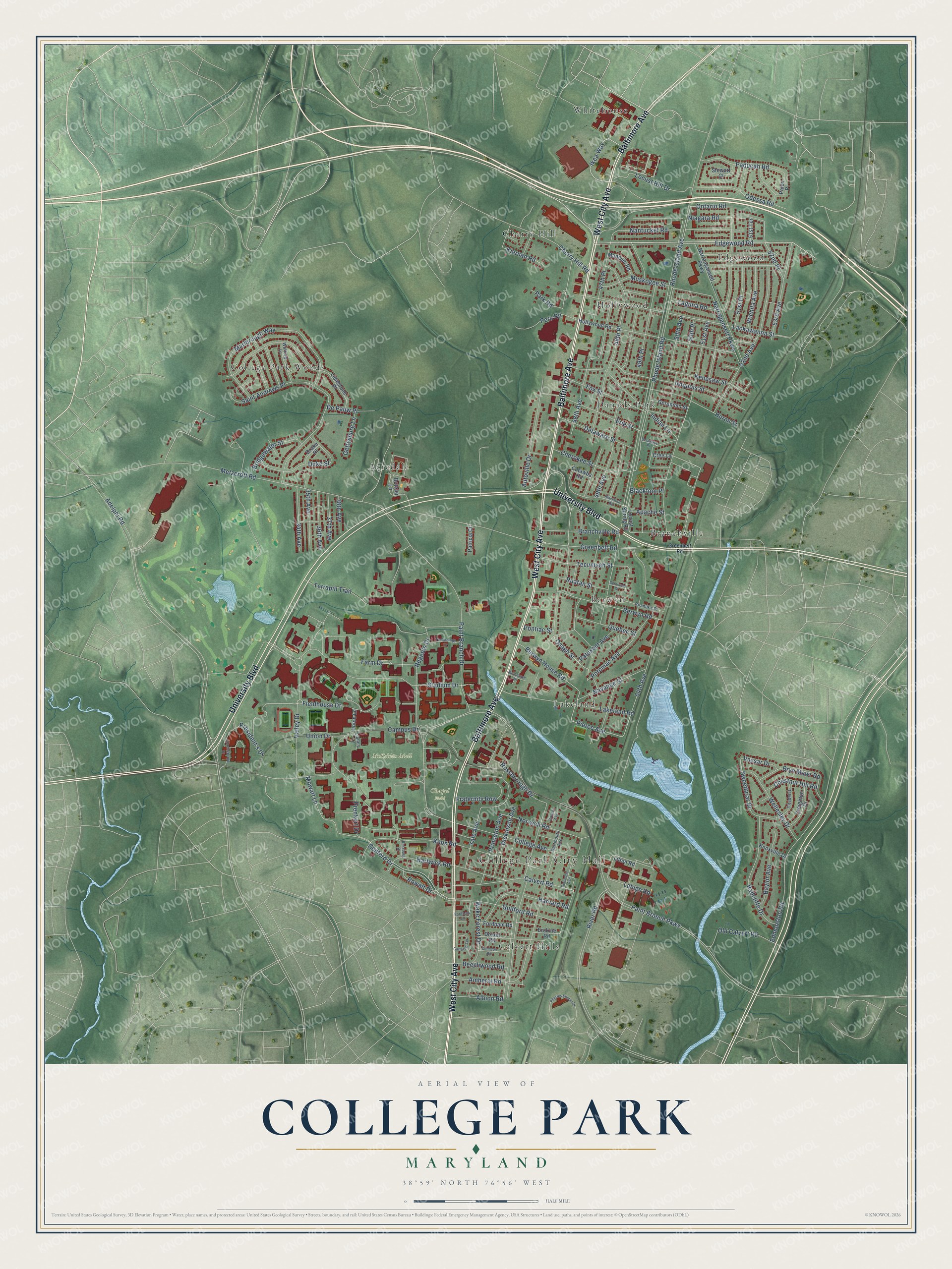
This beautifully detailed map of College Park, Maryland was created in 2026 using aerial imagery combined with modern topographical, census, street and landmark data. It's a modern aerial view of College Park in Prince George's County, Maryland, that combines modern data with a vintage aesthetic. The roads feature printed names, and if you look closely you can find your exact house accurately shown in its correct location.
Explore an aerial view of College Park, Maryland
On this map you'll find College Park City Hall, Chapel Field, McKeldin Mall, Acredale, Berwyn, Branchville, Calvert Hills, Cherry Hill, College Park Woods, Daniels Park, Edgewood, Hollywood, and more. Each red shape is a building, so zoom in on the preview and look for yours.
Here is a piece of College Park history, in the words of the record. The National Register of Historic Places puts it this way: "Histot'i Context: Summary Historv or T-wenty-Centmy Development of Prince George's Cou.11ty
Prince George's County comprises 498 square miles, and includes 27 incorporated municipalities,
including the City of College Park (M-NCPPC 2014:54)."
College Park is a city in Prince George's County. The Census Bureau counted 34,740 people here in 2020.
Take a closer look at the College Park map
Names on this map
These names are printed on this map.
Places: College Park City Hall, Chapel Field, McKeldin Mall, Acredale, Berwyn, Branchville, Calvert Hills, Cherry Hill, College Park Woods, Daniels Park, Edgewood, Hollywood, Lakeland and Whitehouse.
Streets and roads: Baltimore Avenue, West City Avenue, University Boulevard, Edgewood Road, Ikea Way, Guilford Drive, Guilford Road, 52nd Avenue, Osage Street, Rhode Island Avenue, 48th Avenue, Fieldhouse Drive.
More street names, A to Z
34th Avenue, 35th Avenue, 36th Avenue, 37th Avenue, 38th Avenue, 47th Place, 48th Place, 49th Avenue, 49th Place, 50th Avenue, 50th Place, 51st Avenue, 51st Place, 51st Terrace, 52nd Place, 53rd Avenue, 54th Avenue, Adelphi Road, Albion Road, Amherst Road, Apache Street, Autoville Drive, Baylor Avenue, Beechwood Road, Berwyn House Road, Berwyn Road, Blackfoot Place, Blackfoot Road, Boteler Lane, Branchville Road, Bridgewater Street, Bryn Mawr Road, Calvert Road, Campus Drive, Carleton Terrace, Catawba Road, Cherokee Street, Cherry Hill Road, Chestnut Hill Road, Citadel Drive, Clemson Road, College Avenue, Columbia Avenue, Cree Lane, Creighton Drive, Dartmouth Avenue, Delaware Place, Delaware Street, De Pauw Place, Dickinson Avenue, Drake Place, Drexel Road, Duke Street, Edmonston Road, Ehrensberger Drive, Erie Street, Erskine Road, Farm Drive, Fordham Lane, Fordham Road, Fox Street, Fraternity Row, Geronimo Street, Gettysburg Lane, Girard Avenue, Greenbelt Road, Hartwick Road, Harvard Road, Hollywood Road, Huron Street, Indian Lane, Iroquois Street, Kenesaw Street, Kiernan Road, Knox Road, Knoxville Drive, Lackawanna Street, Laguna Road, Lakeland Road, Lehigh Road, Library Lane, Limestone Place, Litton Road, Locust Hill Drive, Locust Spring Road, Mangum Road, Marlbrough Way, Melbourne Place, Metzerott Road, Mowatt Lane, Muskogee Street, Nantucket Road, Narragansett Parkway, Narrangansett Parkway, Navahoe Street, Niagara Road, Norwich Road, Odessa Road, Old Calvert Road, Ontario Road, Paducah Road, Paint Branch Drive, Paint Branch Parkway, Palco Place, Park Road, Patricia Court, Patuxent Avenue, Peru Road, Physics Ellipse Drive, Pierce Avenue, Pontiac Street, Potomac Avenue, Prenkert Drive, President's Drive, Princeton Avenue, Quebec Street, Radcliffe Drive, Regents Drive, Rhode Island Road, River Road, Roanoke Place, Rossborough Drive, Rossburg Drive, Rowalt Drive, Ruatan Street, Saint Andrews Place, Seminole Street, Stadium Drive, Stewart Court, Sweetbriar Drive, Technology Drive, Tecumseh Street, Terrapin Trail, Union Drive, Union Lane, Valley Drive, Vassar Drive, Wake Forest Drive, Wellesley Drive, Wichita Avenue, Wofford Lane, Yale Avenue.
Created by KNOWOL in 2026. The buildings are small red shapes, the roads carry their printed names, and shaded relief shows the shape of the land. The title panel reads "AERIAL VIEW OF COLLEGE PARK MARYLAND" with 38°59' NORTH 76°56' WEST.
It suits a den, a classroom or a front hall, and it makes a gift for anyone with College Park roots. Open the preview and find the block you know. See sizes and frames for the College Park map.