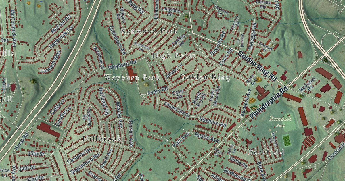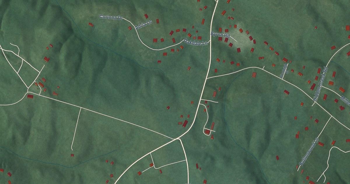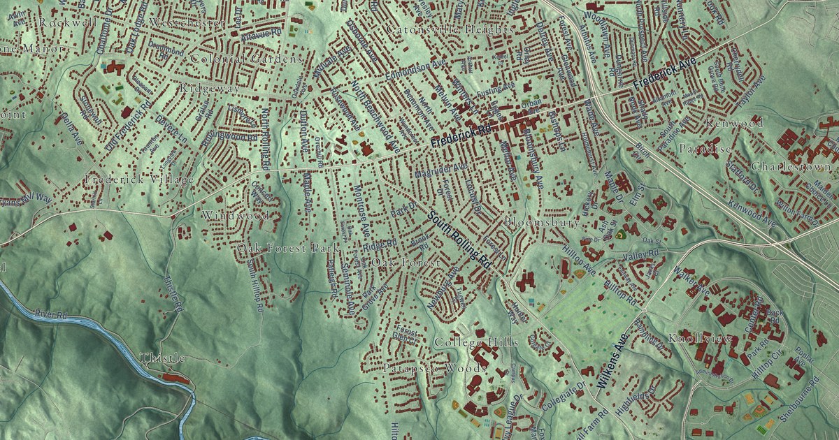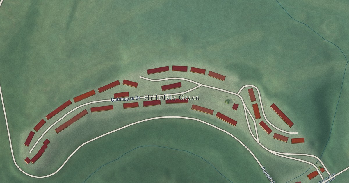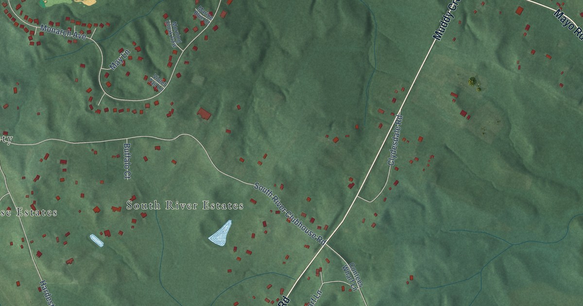
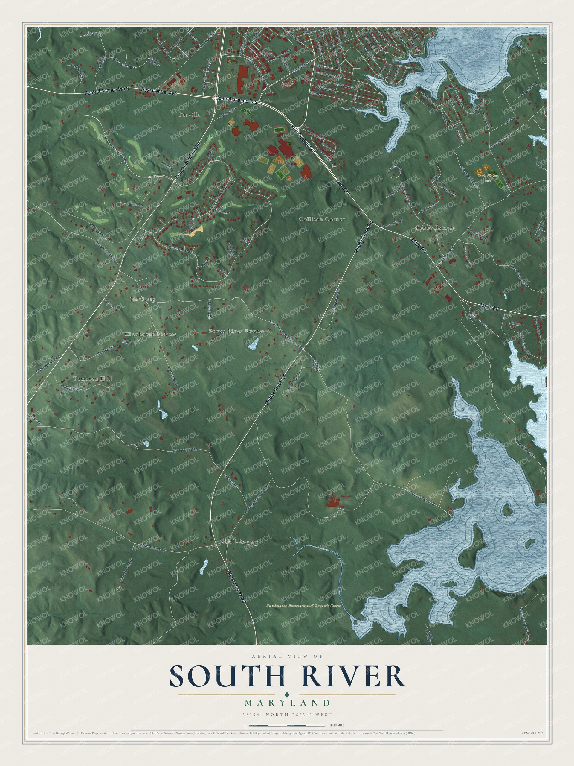
This beautifully detailed map of South River, Maryland was created in 2026 using aerial imagery combined with modern topographical, census, street and landmark data. It’s a one-of-a-kind view of South River that combines accurate data with a vintage aesthetic. The map shows every building in its true location, many of the roads carry their names, and the shaded topographic relief shows the shape of the land.
Explore an aerial view of South River, Maryland
On the map you’ll find Loch Haven Park, Smithsonian Environmental Research Center, South River Estates, Parvilla, Tameron Hall, Collison Corner, Coxby Estates, Hardesty, Mill Swamp, and Clubhouse Estates, along with Mayo Road, East Central Avenue, and more. If you look closely you can even find your house accurately drawn in its correct location. Zoom in on the preview to look for yours.
Take a closer look at the South River map
Names on this map
These names are printed on this map.
Places: Loch Haven Park, Smithsonian Environmental Research Center, South River Estates, Parvilla, Tameron Hall, Collison Corner, Coxby Estates, Hardesty, Mill Swamp and Clubhouse Estates.
Streets and roads: Mayo Road, East Central Avenue, West Central Avenue, Solomons Island Road, Muddy Creek Road, Central Avenue East, Central Avenue West, Stepneys Lane, Mitchells Chance Road, Colony Crossing, Glebe Drive, Cedar Drive.
More street names, A to Z
Abby Road, Arbutus Drive, Auld Drive, Austin Drive, Bay Ridge Road, Bayview Drive, Beach Drive, Braverton Street, Brick Church Road, Buffalo Court, Burgh Lane, Camp Letts Road, Cedar Grove Road, Chesapeake Drive, Christopher Lane, Clydesdale Road, Collier Drive, Colliers Drive, Collins Road, Colony Club Drive, Colony Crossing West, Colony Point Place, Contees Wharf Lane, Contees Wharf Road, Conte Warf Lane, Cory Island Road, Cumberstone Road, Dalemeade Drive, Dark Star Court, Dawnwood Drive, Delmar Road, Dillon Court, Dove Farm Road, Elkridge Drive, Fairhill Drive, Fairmount Drive, Fern Hill Court, Fiddlers Hill Road, Forestville Road, Fortune Place, Galewood Drive, Glebe Heights Drive, Glenarm Road, Gray Fox Court, Hamlet Circle, Hardesty Road, Havenhill Road, Havenwood Court, Havre de Grace Drive, Hawks Bill Way, Hazelwood Road, Highland Drive, Hillmeade Circle, Hillmeade Road, Hope Chapel Road, Howards Point Road, Jessie Road, Jordan Taylor Lane, Kenny Court, Kenny Lane, Keymar Road, Larkington Drive, Laurel Road, Leritz Lane, Loch Haven Road, Locust Drive, Longwood Road, Loreley Road, Maclefish Lane, Margo Lane, Marine Blue Court, May Lane, Melanie Lane, Midland Road, Mill Swamp Road, Monarch Avenue, Morning Cloak Row, North Carolina Avenue, Oak Drive, Oak Lane, Oak Lane Road, Old Birdsville Road, Old Muddy Creek Road, Old Point Road, Oldtown Road, Old Trail Road, Penwood Drive, Perder Lane, Pike Ridge Road, Pocahontas Drive, Polo Court, Pure Water Way, Quantico Road, Riders Court, Ridgely Road, River Club Drive, Riverdale Drive, Riverton Place, Rolling Road, Salisbury Road, Scotts Cove Road, Shady Side Drive, Shirley Lane, Shore Drive, Smiley Lane, South River Clubhouse Road, Stepney Street, Swallow Lane, Tack Court, Tacoma Road, Violet Tail Lane, Watkins Row, Welches Drive, Welchs Drive, West Shore Drive, Windward Pass.
See it on a wall
The South River map as a framed print. Swipe for more.


This beautifully detailed map of South River makes an attractive addition to your office, library, or den, and it can even be used to teach children the geography and history of the area. It also makes a great gift for someone who left South River and still calls it home. When you’re done exploring, click here to get your copy of the South River map.