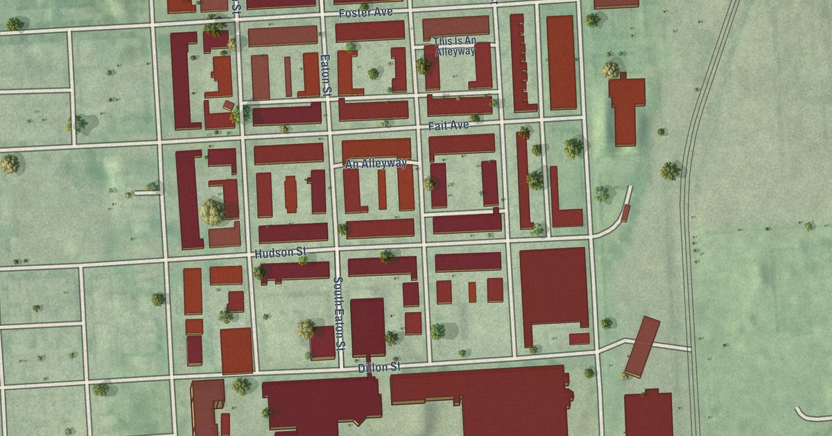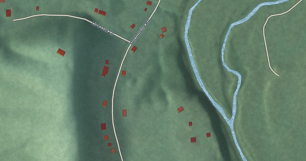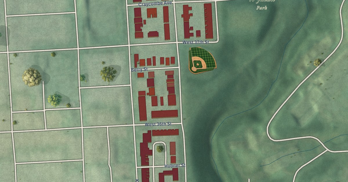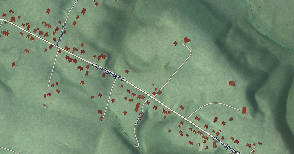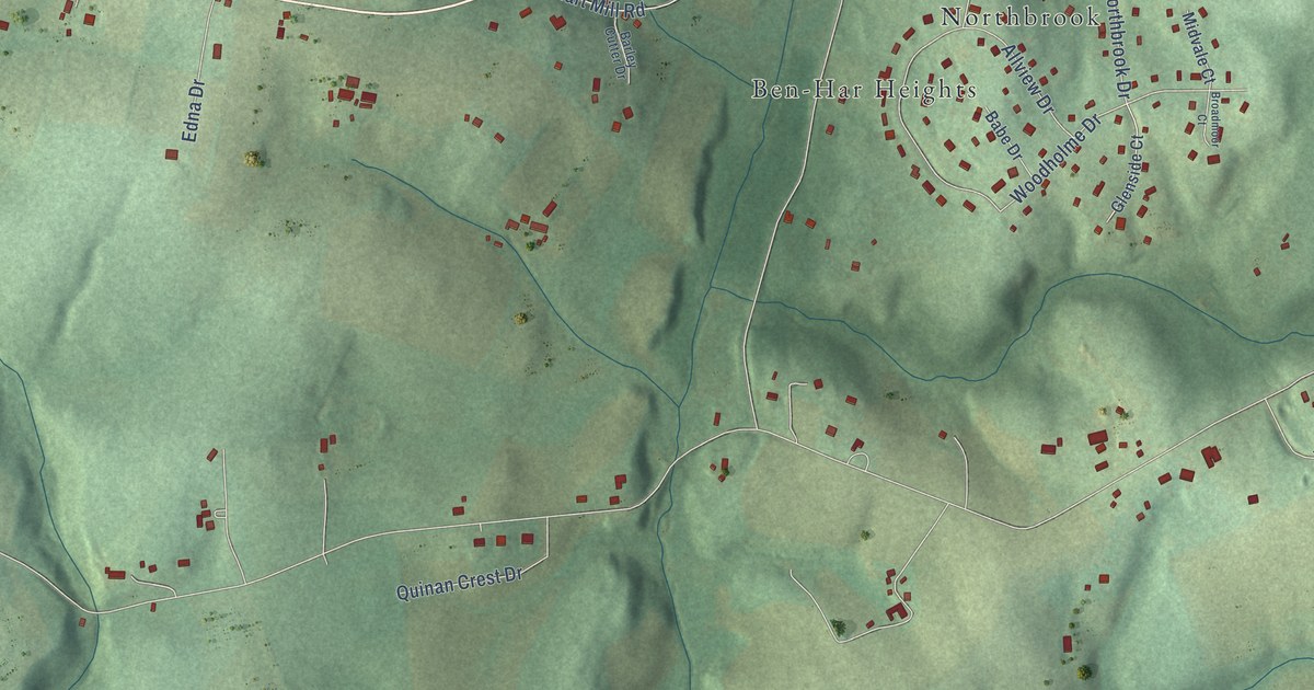
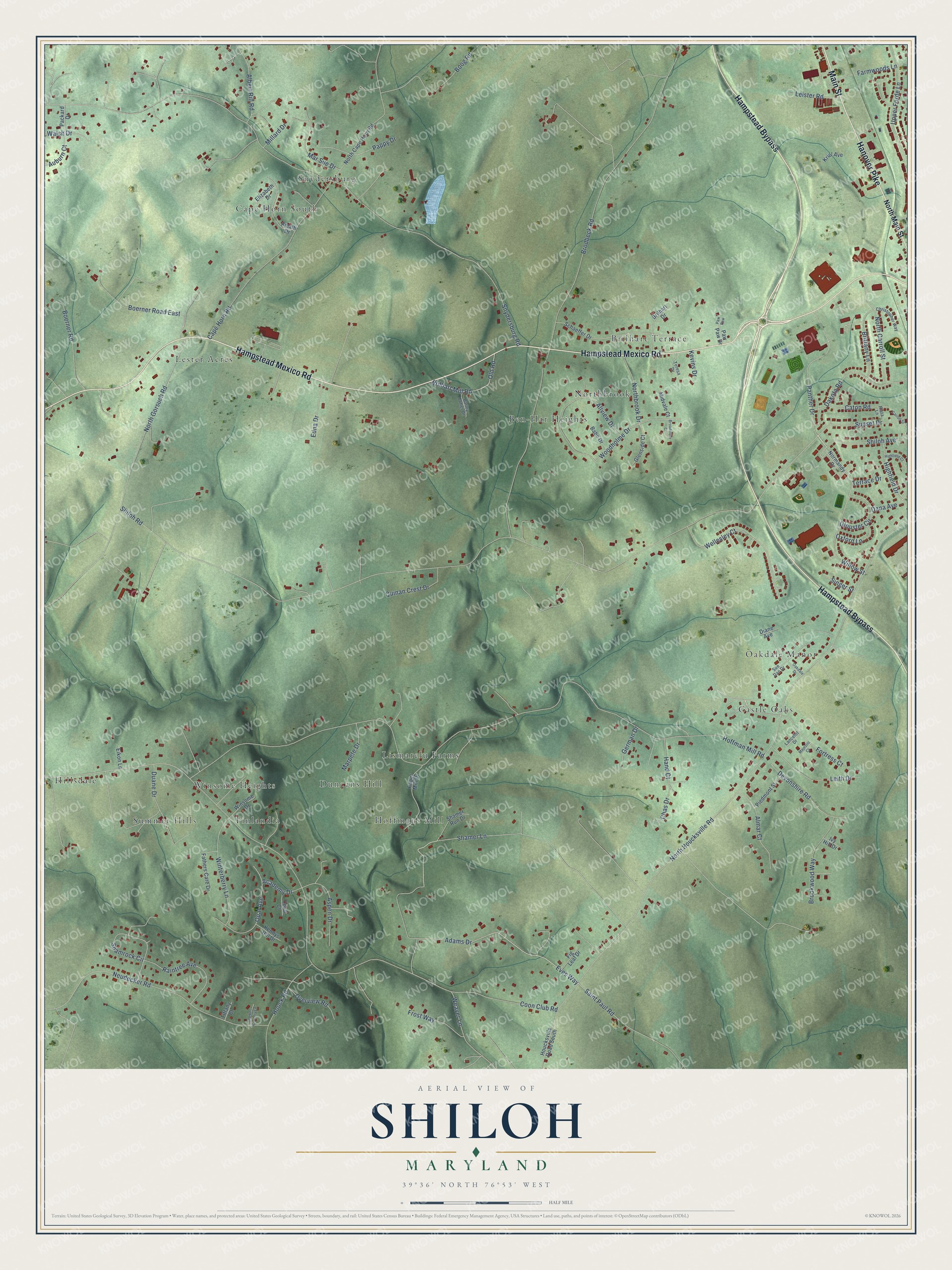
This beautifully detailed map of Shiloh, Maryland was created in 2026 using aerial imagery combined with modern topographical, census, street and landmark data. It’s a one-of-a-kind view of Shiloh that combines accurate data with a vintage aesthetic. The map shows every building in its true location, many of the roads carry their names, and the shaded topographic relief shows the shape of the land.
Explore an aerial view of Shiloh, Maryland
On the map you’ll find Hillsdale, Lester Acres, Castle Oaks, Lismarelu Farms, Snydersburg, Ben-Har Heights, Winsome Heights, Hoffmans Mill, Oakdale Manor, Cape Horn South, and Northbrook, along with Brilhart Terrace, and more. If you look closely you can even find your house accurately drawn in its correct location. Zoom in on the preview to look for yours.
Take a closer look at the Shiloh map
Names on this map
These names are printed on this map.
Places: Hillsdale, Lester Acres, Castle Oaks, Brilhart Terrace, Lismarelu Farms, Snydersburg, Ben-Har Heights, Winsome Heights, Hoffmans Mill, Oakdale Manor, Cape Horn South, Northbrook, Summer Hills, Duncans Hill and Finlandia.
Streets and roads: Hampstead Mexico Road, Hampstead Bypass, Hanover Pike, Main Street, Eves Way, Shiloh Road, Hoffman Mill Road, Coon Club Road, Snydersburg Road, North Houcksville Road, Brodbeck Road, Shamer Lane.
More street names, A to Z
Academy Drive, Adams Drive, Albert Rill Road, Allview Drive, Almar Court, Amalfi Drive, Aspen Drive, Auburn Court, Babe Drive, Barley Cutter Drive, Boerner Road, Boerner Road East, Boog Road, Brilhart Drive, Brilhart Mill Road, Brittany Lane, Broadmoor Court, Brookwood Way, Cape Horn Road, Carroll Street, Caton Road, Chas Drive, Christopher Way, Clarkes Country Lane, Coral Court, Dakota Road, Dana Avenue, Devonshire Road, Diane Avenue, Duane Drive, Edna Drive, Eikon Lane, Elizabeth Drive, Farmwoods Lane, Fathers Care Drive, Fig Leaf Drive, Fortress Court, Frost Way, German Drive, Glenside Court, Glouster Circle, Hand Court, Highfield Court, Highfield Drive, Houck Road, Houcksville Road South, Ivy Hill Drive, Kennys Hill Drive, Kevins Drive, Kriel Avenue, Lancelot Drive, Leister Road, Leith Drive, Majestic Court, Marpete Drive, Mar Sue Drive, Midvale Court, Millard Drive, Neudecker Road, Normandy Drive, Northbrook Drive, North Cape Horn Road, North Carroll Street, North Gorsuch Road, North Main Street, Oakdale Drive, Old Road, Opal Avenue, Overview Road, Oxford Lane, Packard Drive, Panther Drive, Paper Mill Drive, Pappy Drive, Paw Paw, Paw Paw Drive, Piedmont Street, Quinan Crest Drive, Raintree Avenue, Riata Lane, Saint Paul Road, Schaeffer Drive, Shamer Run Drive, Shamrock Circle, Shiloh Avenue, Singer Street, Sue Dan Drive, Sunset Drive, Teresa Drive, Terrace Drive, Tiffany Court, Upper Forde Lane, Walsh Drive, Weaver Lane, Wellesley Court, Willow Street, Winsome Drive, Winterberry Lane, Woodholme Drive.
See it on a wall
The Shiloh map as a framed print. Swipe for more.


This beautifully detailed map of Shiloh makes an attractive addition to your office, library, or den, and it can even be used to teach children the geography and history of the area. It also makes a great gift for someone who left Shiloh and still calls it home. When you’re done exploring, click here to get your copy of the Shiloh map.