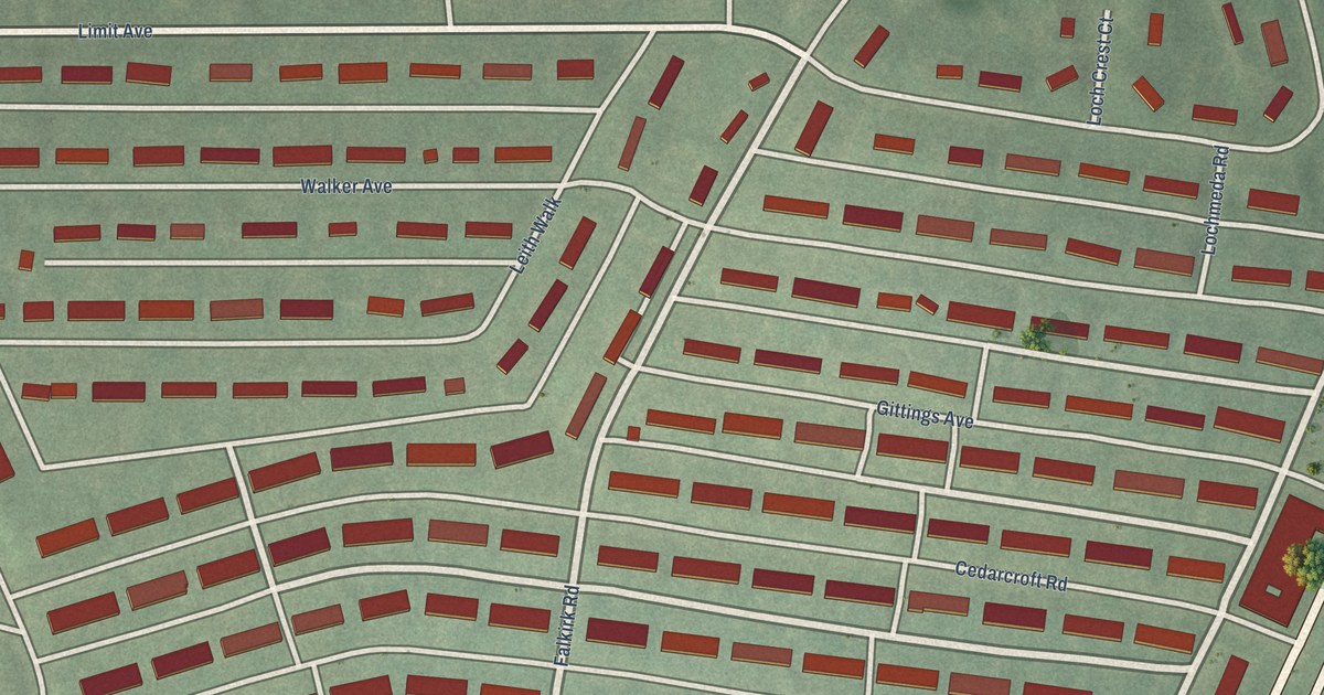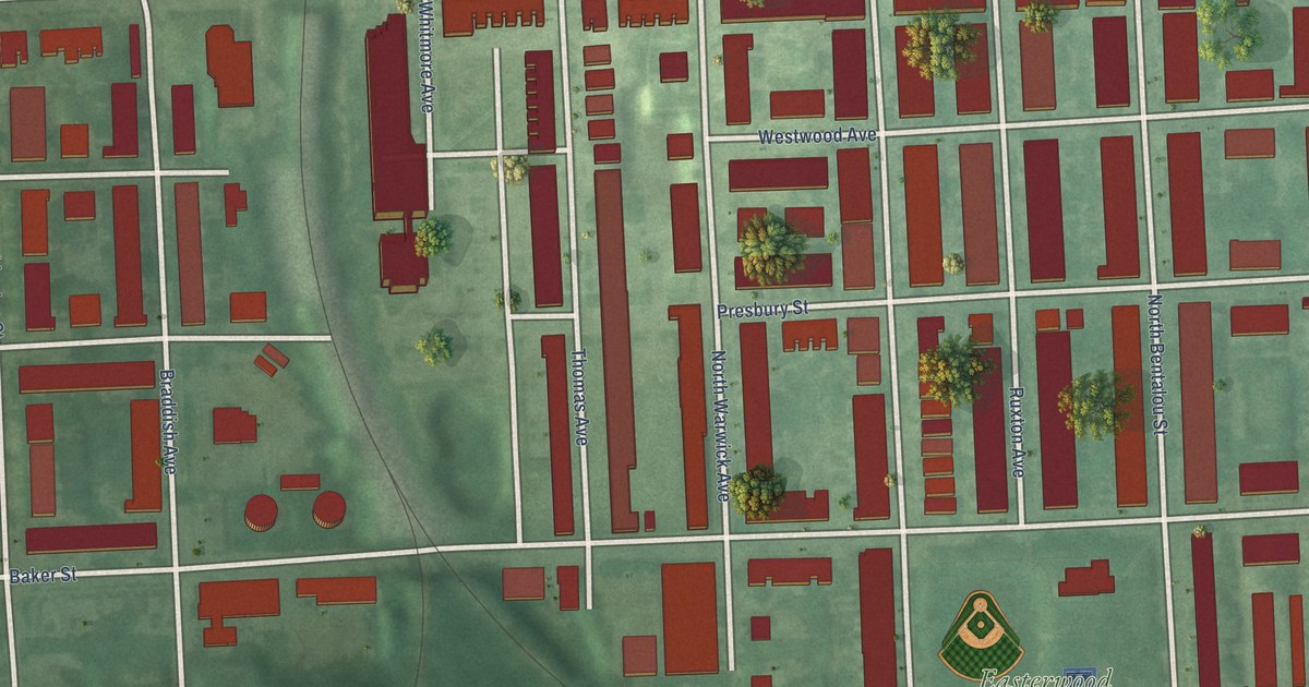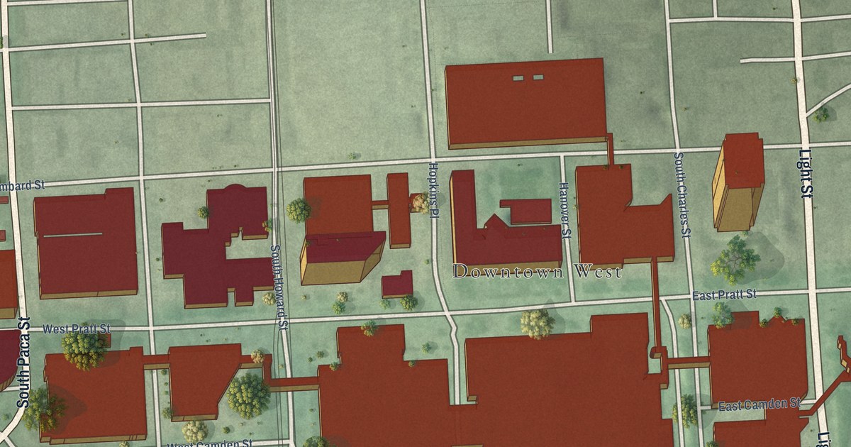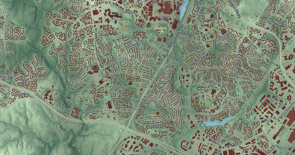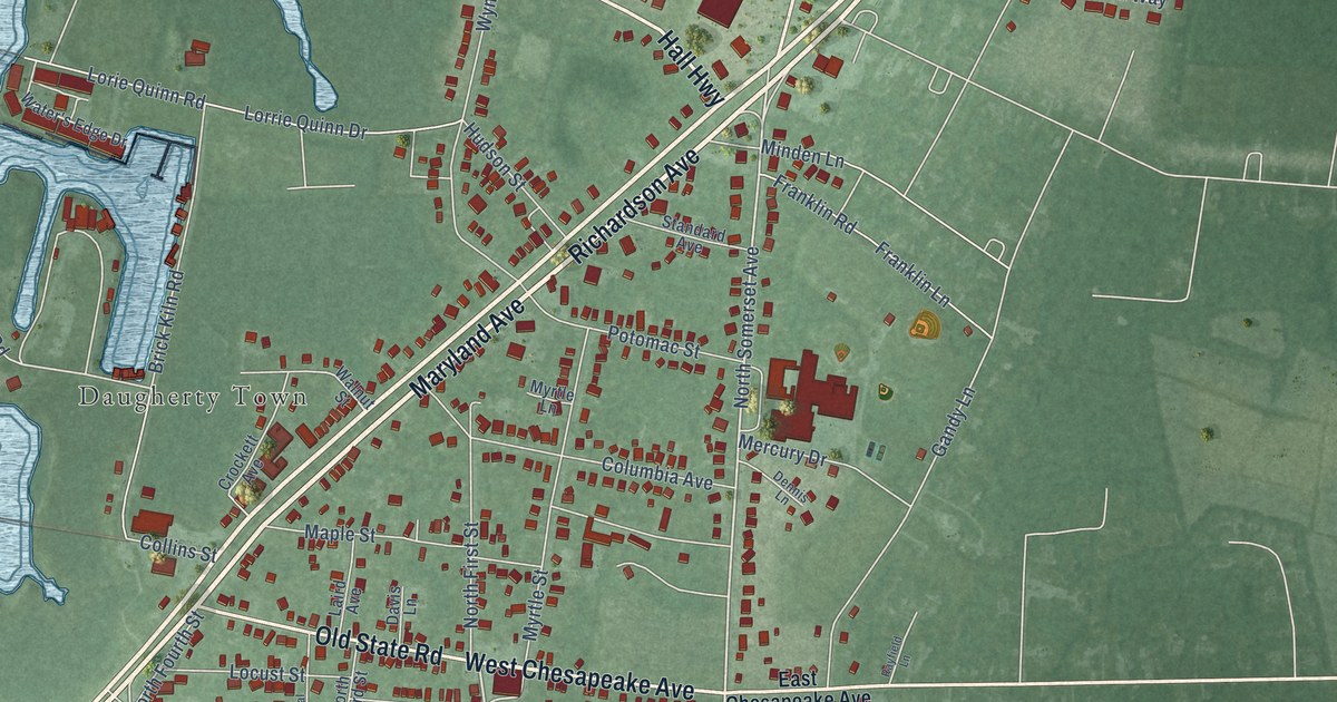
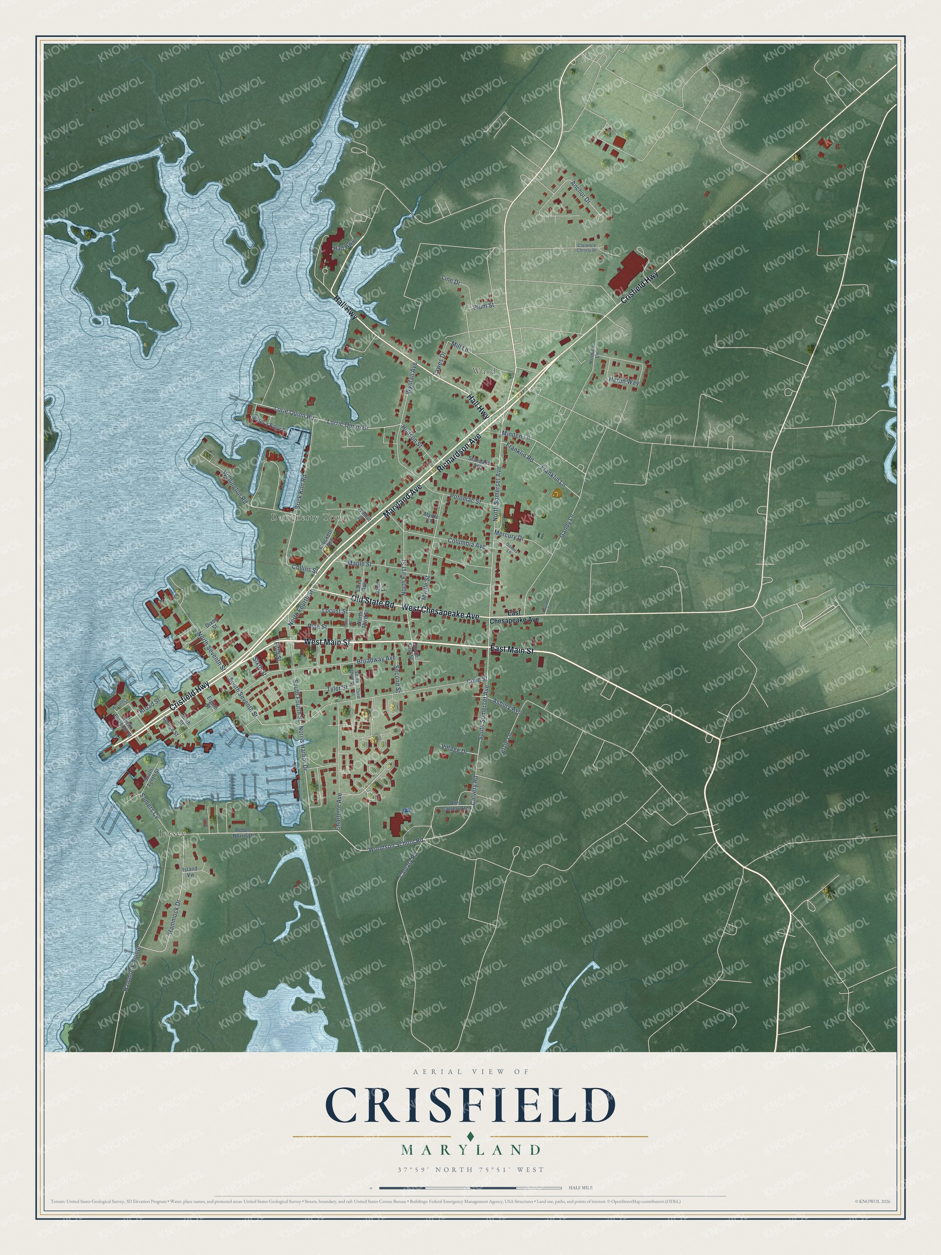
This beautifully detailed map of Crisfield, Maryland was created in 2026 using aerial imagery combined with modern topographical, census, street and landmark data. It's a modern aerial view of Crisfield in Somerset County, Maryland, that combines modern data with a vintage aesthetic. The roads feature printed names, and if you look closely you can find your exact house accurately shown in its correct location.
Explore an aerial view of Crisfield, Maryland
On this map you'll find Ward, Daugherty Town, Jersey, East Main Street, Maryland Avenue, Richardson Avenue, West Main Street, Crisfield Highway, Hall Highway, Old State Road, West Chesapeake Avenue, South Seventh Street, and more. Each red shape is a building, so zoom in on the preview and look for yours.
Crisfield has a story worth telling. The record at services.arcgis.com puts it this way: "Governor, 1959-1967; Comptroller of the Treasurey, 1939-1947 and 1950-1959; first Secretary of the Department of Natural Resources, 1969-1971; Treasurer of Maryland, 1973-1975."
Crisfield is a city in Somerset County. The Census Bureau counted 2,475 people here in 2020.
Take a closer look at the Crisfield map
Names on this map
These names are printed on this map.
Places: Ward, Daugherty Town and Jersey.
Streets and roads: East Main Street, Maryland Avenue, Richardson Avenue, West Main Street, Crisfield Highway, Hall Highway, Old State Road, West Chesapeake Avenue, South Seventh Street, Woodson School Road, South Somerset Avenue, Anchor Drive.
More street names, A to Z
Asbury Avenue, Brick Kiln Road, Broad Street, Broadway Avenue, Calvary Road, Calvery Road, Canal Street, Charlotte Avenue, Clarence Christy Drive, Collins Street, Columbia Avenue, Cove Street, Crockett Avenue, Davis Lane, Dennis Lane, Dixon Street, East Chesapeake Avenue, Eighth Street, Elzie Lane, Fifth Street, Franklin Lane, Franklin Road, Gandy Lane, Hammock Drive, Hammock Pointe, Heron Way, Hinman Lane, Hudson Street, Island Vw, Laird Avenue, Line Drive, Locust Street, Lorie Quinn Road, Lorrie Quinn Drive, Maple Street, Mercury Drive, Mill Lane, Minden Lane, Myrtle Lane, Myrtle Street, Ninth Street, Norris Harbor Drive, North Eleventh Street, North First Street, North Fourth Street, North Seventh Street, North Somerset Avenue, North Third Street, Olds Calvery Road, Pine Street, Plum Street, Potomac Street, Rayfield Lane, Robert Norris Drive, Second Street, Sixth Street, Somers Cv, South First Street, South Fourth Street, South Tenth Street, South Third Street, Spruce Street, Standard Avenue, Tawes Drive, Third Street, Tyler Street, Village Drive, Walnut Street, Water's Edge Drive, Wellington Road, Williams Street, Wynfall Avenue.
Created by KNOWOL in 2026. The buildings are small red shapes, the roads carry their printed names, and shaded relief shows the shape of the land. The title panel reads "AERIAL VIEW OF CRISFIELD MARYLAND" with 37°59' NORTH 75°51' WEST.
It looks right in a kitchen, an office or a den, and it's a gift for anyone who grew up in Crisfield or moved away. Open the preview and find your street. See sizes and frames for the Crisfield map.