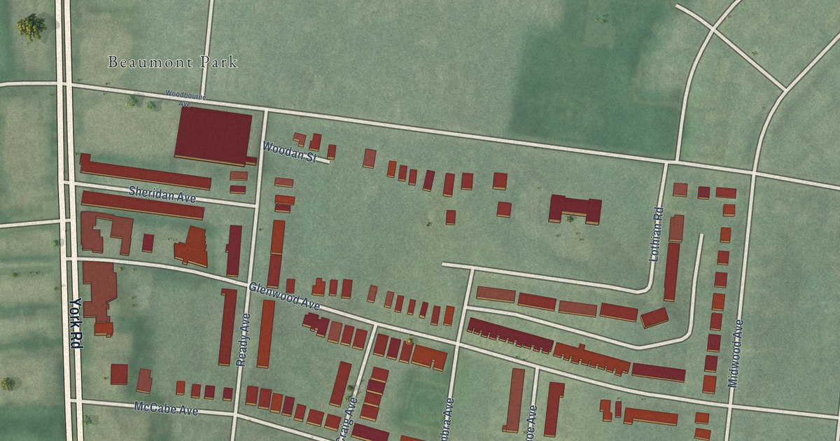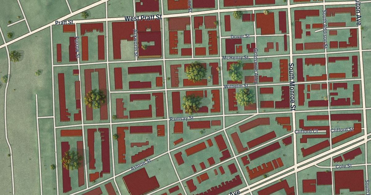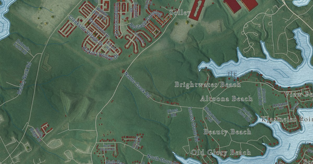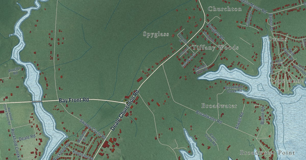
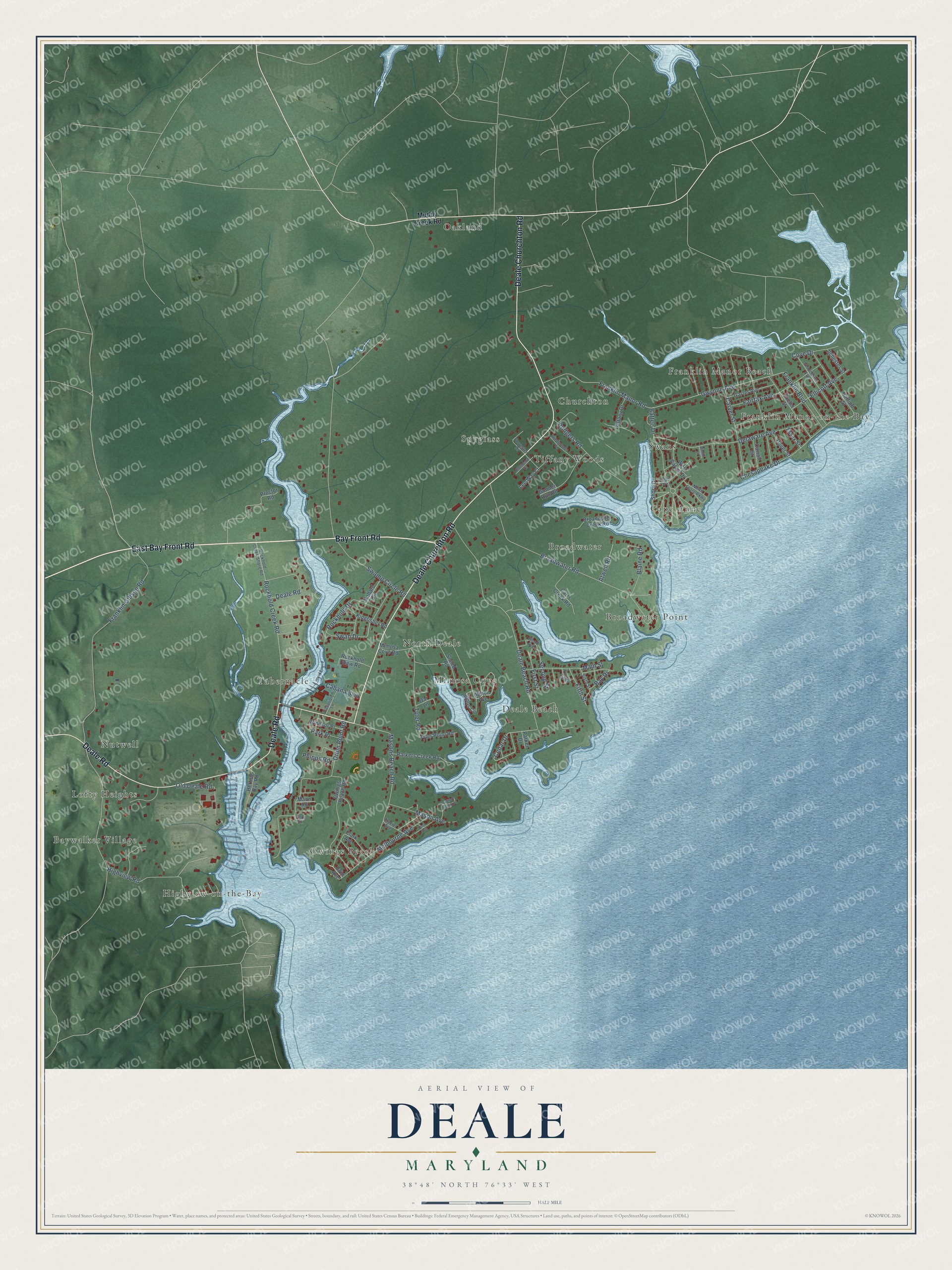
This beautifully detailed map of Deale, Maryland was created in 2026 using aerial imagery combined with modern topographical, census, street and landmark data. It's a modern aerial view of Deale in Anne Arundel County, Maryland, that combines modern data with a vintage aesthetic. The roads feature printed names, and if you look closely you can find your exact house accurately shown in its correct location.
Explore an aerial view of Deale, Maryland
On this map you'll find North Deale, Franklin Manor-on-the-Bay, Baywalker Village, Spyglass, Oakland, Broadwater Point, Tabernacle, Swans, Nutwell, Highview-on-the-Bay, Deale Beach, Churchton, and more. Each red shape is a building, so zoom in on the preview and look for yours.
Deale has a story worth telling. When Deale's Cedar Grove congregation built its own church in 1912, Thomas Ford gave timber from his land, and Harry Price's sawmill was set up in the woods to cut it. Ox carts and horse teams hauled the lumber, and Julius Phipps brought the windows from Baltimore on the sailing boat he used to ship oysters. When the church was founded in the 1890s, Deale was known as the community of Cedar Grove. Most of the work on the 1912 church was volunteered by members and neighbors. That's from the Maryland Historical Trust.
Deale is a community in Anne Arundel County. The Census Bureau counted 4,943 people here in 2020.
Take a closer look at the Deale map
Names on this map
These names are printed on this map.
Places: North Deale, Franklin Manor-on-the-Bay, Baywalker Village, Spyglass, Oakland, Broadwater Point, Tabernacle, Swans, Nutwell, Highview-on-the-Bay, Deale Beach, Churchton, Cape Anne, Broadwater, Franklin Manor Beach, Owings Beach, Lofty Heights, Tiffany Woods and Mimosa Cove.
Streets and roads: East Bay Front Road, Bay Front Road, Deale Churchton Road, Deale Road, Gwynne Avenue, Masons Beach Road, Cedar Drive, Franklin Gibson Road, Broadwater Road, Swamp Circle Road, Deale Beach Road, Drum Point Road.
More street names, A to Z
Atwell Road, Battee Drive, Bay Drive, Bimini Court, Blaine Road, Bluebeard Court, Broadwater Creek Road, Cabana Boulevard, Carroll Street, Carrs Creek Road, Carvel Street, Chesapeake Drive, Clark Avenue, Cove Drive, Delaware Avenue, Dover Street, Ellicott Avenue, Essex Street, Exeter Street, Fairfax Avenue, Fifth Street, First Avenue, First Street, Flood Avenue, Ford Street, Forrester Drive, Fourth Street, Franklin Boulevard, Franklin Manor Road, Frazier Avenue, Garret Avenue, Gloucester Avenue, Gunner Run Road, Harbor Way, Harford Street, Herring Bay Road, Highview Road, Ilchester Street, Irvin Avenue, Johns Circle, Kingfisher Road, Lee Way Court, Main Street, Mallard Circle, Mann Road, Mason Avenue, Melbourne Avenue, Milton Avenue, Mimosa Cove Road, Muddy Creek Road, North Shore Parkway, Oar Lane, Old Deale Road, Owings Beach Road, Parker Drive, Parkers Creek Drive, Parkers Creek Road, Park Place, Phipps Road, Proctor Road, Rockhold Creek Road, Rockhold Creek Shore Road, Rockhold Drive, Rockhold View Road, Rodgers Road, Second Street, Shore Drive, Sixth Street, Sneed Road, Swan Drive, Tiffany Drive, Tyler Point Road, Tyler Road, Vacation Lane, West Carvel Drive, Windjammer Court, Windsor Place.
See it on a wall
The Deale map as a framed print. Swipe for more.


Created by KNOWOL in 2026. The buildings are small red shapes, the roads carry their printed names, and shaded relief shows the shape of the land. The title panel reads "AERIAL VIEW OF DEALE, MARYLAND" with 38°48' NORTH 76°33' WEST.
It looks right in a kitchen, an office or a den, and it's a gift for anyone who grew up in Deale or moved away. Open the preview and find your street. See sizes and frames for the Deale map.