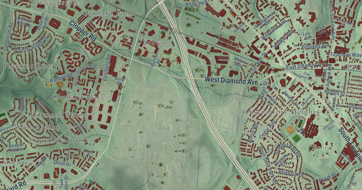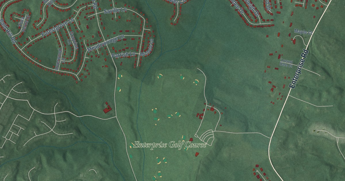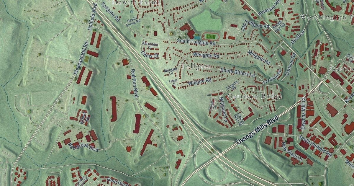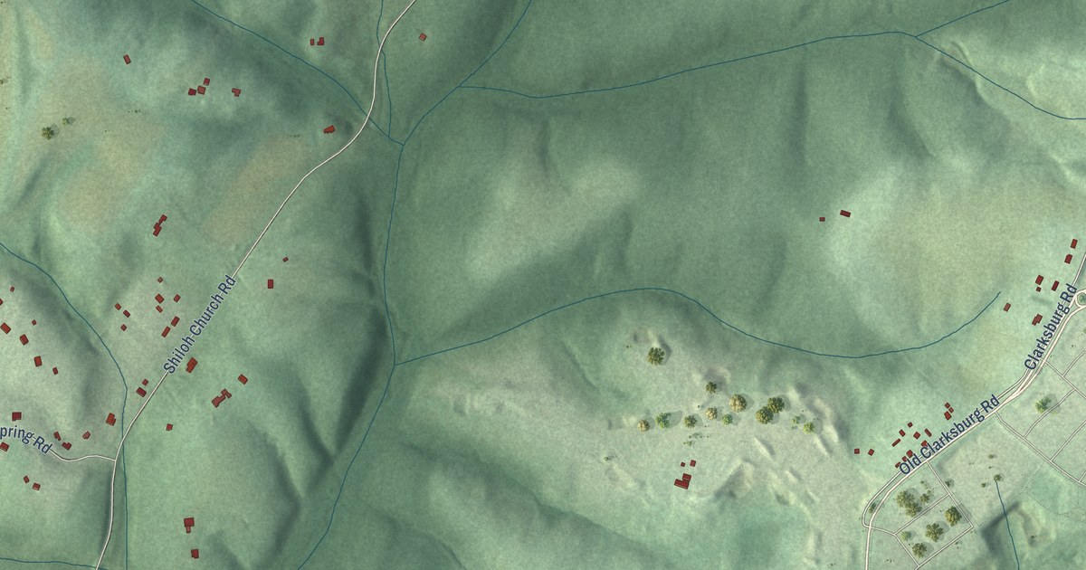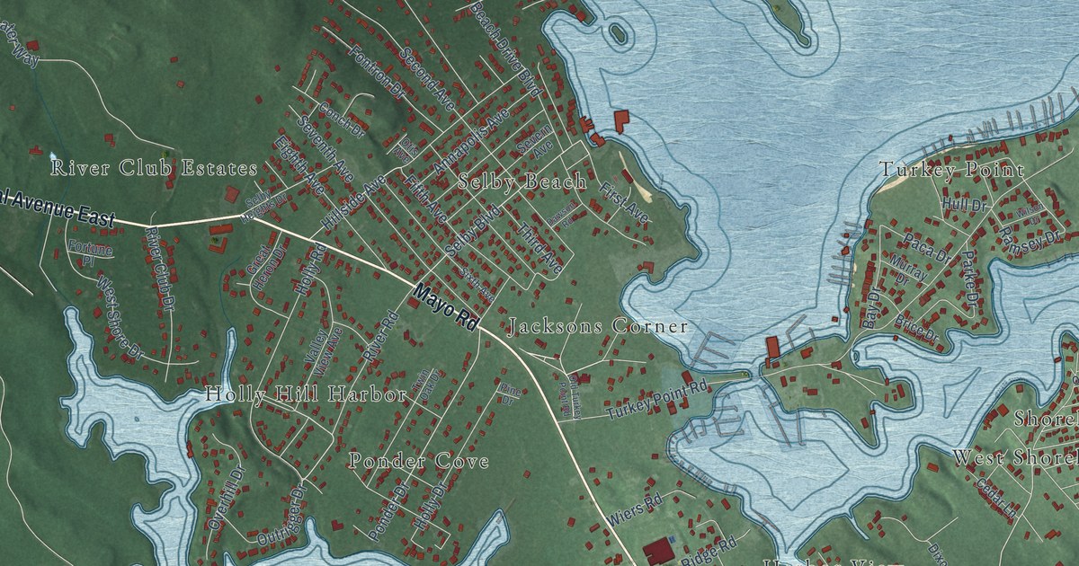
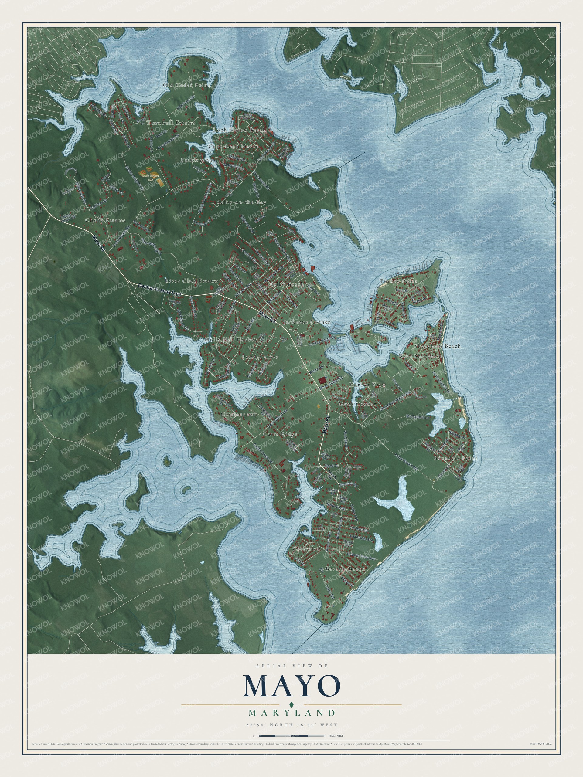
This beautifully detailed map of Mayo, Maryland was created in 2026 using aerial imagery combined with modern topographical, census, street and landmark data. It's a modern aerial view of Mayo in Anne Arundel County, Maryland, that combines modern data with a vintage aesthetic. The roads feature printed names, and if you look closely you can find your exact house accurately shown in its correct location.
Explore an aerial view of Mayo, Maryland
On this map you'll find Loch Haven Park, Saunders Point, Turkey Point, Germantown, Jacksons Corner, Loch Haven Beach, Coxby Estates, West Shoreham, Gatts Corner, Cloverlea, Selby-on-the-Bay, River Club Estates, and more. Each red shape is a building, so zoom in on the preview and look for yours.
Here is a piece of Mayo history. Mayo is named for Isaac Mayo, a U.S. Navy officer who bought the Cotters Desire tract and made it part of Gresham, his estate of 988 acres. John Gassaway had patented that land in 1750 and named it Cotters Desire for his wife, Sarah Cotter. Neighbors formed the Mayo Benefit Association in 1897 and built Mayo Hall in 1900. For generations it hosted oyster and chicken roasts, picnics and square dancing. That's from the Maryland Historical Trust.
Mayo is a community in Anne Arundel County. The Census Bureau counted 8,832 people here in 2020.
Take a closer look at the Mayo map
Names on this map
These names are printed on this map.
Places: Loch Haven Park, Saunders Point, Turkey Point, Germantown, Jacksons Corner, Loch Haven Beach, Coxby Estates, West Shoreham, Gatts Corner, Cloverlea, Selby-on-the-Bay, River Club Estates, Selby Beach, Turnbull Estates, Ponder Cove, Old Cedar Point, Harbor View, Larkington, Carrs Ridge, Beverly Beach, Shoreham Beach, Holly Hill Harbor and Cape Loch Haven.
Streets and roads: Mayo Road, Central Avenue East, River Road, Selby Boulevard, Cadle Creek Road, Shoreham Beach Road, Ponder Drive, Ramsey Drive, Glebe Drive, Carroll Drive, Cedar Drive, Turkey Point Road.
More street names, A to Z
Annapolis Avenue, Arbutus Drive, Auld Drive, Bay Drive, Bayside Drive, Bay View Point Drive, Beach Drive, Beach Drive Boulevard, Beach Road, Beverley Avenue, Beverly Avenue, Birch Drive, Branhum Road, Brice Drive, Cadle Avenue, Calawasse Road, Calvert Street, Carrs Ridge Road, Carrs Wharf Road, Carvel Lane, Carvel Road, Cedar Avenue, Cedar Lane, Cherry Drive, Cliff Drive, Collier Drive, Colliers Drive, Collison Road, Conch Drive, Cooks Lane, Cove Road, Crossover Drive, Dalemeade Drive, Dale Street, Daves Road, Dawson Road, Dillon Court, Dixona Drive, Dock Court, Edgemont Street, Eighth Avenue, Elliott Place, Elm Street, Fifth Avenue, First Avenue, Fontron Drive, Fortune Place, Germantown Road, Glebe Heights Drive, Grande View Avenue, Great Heron Drive, Havenhill Road, Havenwood Court, Hillmeade Circle, Hillmeade Road, Hillside Avenue, Holly Drive, Holly Point Road, Holly Road, Honeysuckle Drive, Hope Chapel Road, Hull Drive, James Way, Kenny Lane, Kings Road, Lakeview Avenue, Larkington Drive, Lee Way, Leritz Lane, Likes Road, Linden Avenue, Loch Haven Drive, Loch Haven Road, Magnolia Drive, Maple Avenue, Margo Lane, Maryland Avenue, Mayo Avenue, Mayo Ridge Road, McCarters Lane, Murray Drive, North Carolina Avenue, Oak Drive, Old Point Road, Old Turkey Point Road, Olive Street, Otis Avenue, Outrigger Drive, Overhill Drive, Paca Drive, Parke Drive, Pennington Court, Pine Drive, Pineridge Court, Plainview Avenue, Pocahontas Drive, Poplar Avenue, Pure Water Way, Ridgely Drive, River Club Drive, Scriveners Road, Second Avenue, Selby Heights Drive, Seventh Avenue, Severn Avenue, Shady Drive, Shesley Road, Sixth Avenue, South River Terrace, Spruce Avenue, Sundee Drive, Sweet Leaf Lane, Third Avenue, Triton Beach Road, Triton Court, Twin Oak Drive, Valley View Avenue, Walnut Drive, Warfield Road, West Shore Drive, Wiers Road, Wilson Drive.
See it on a wall
The Mayo map as a framed print. Swipe for more.


Created by KNOWOL in 2026. The buildings are small red shapes, the roads carry their printed names, and shaded relief shows the shape of the land. The title panel reads "AERIAL VIEW OF MAYO, MARYLAND" with 38°54' NORTH 76°30' WEST.
It suits a den, a classroom or a front hall, and it makes a gift for anyone with Mayo roots. Open the preview and find the block you know. See sizes and frames for the Mayo map.