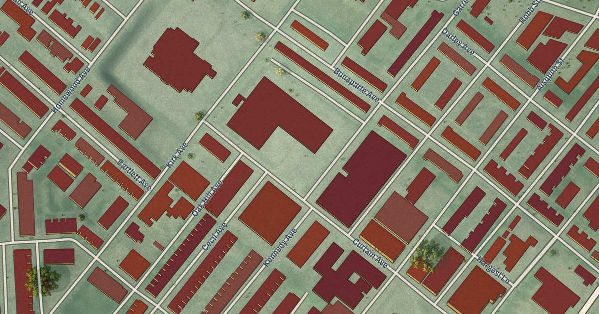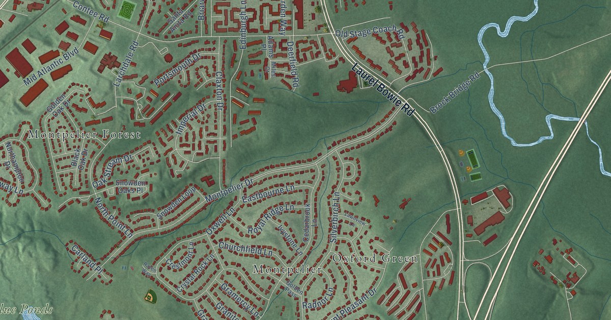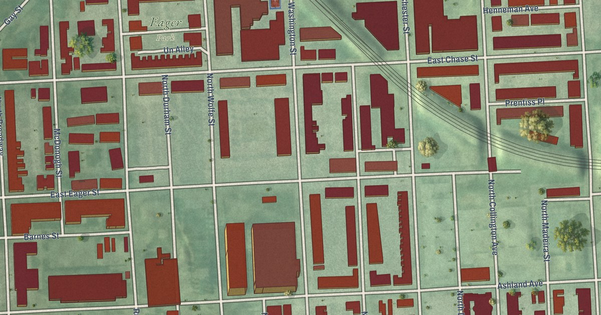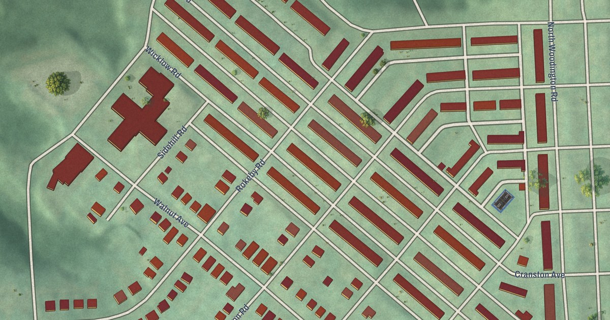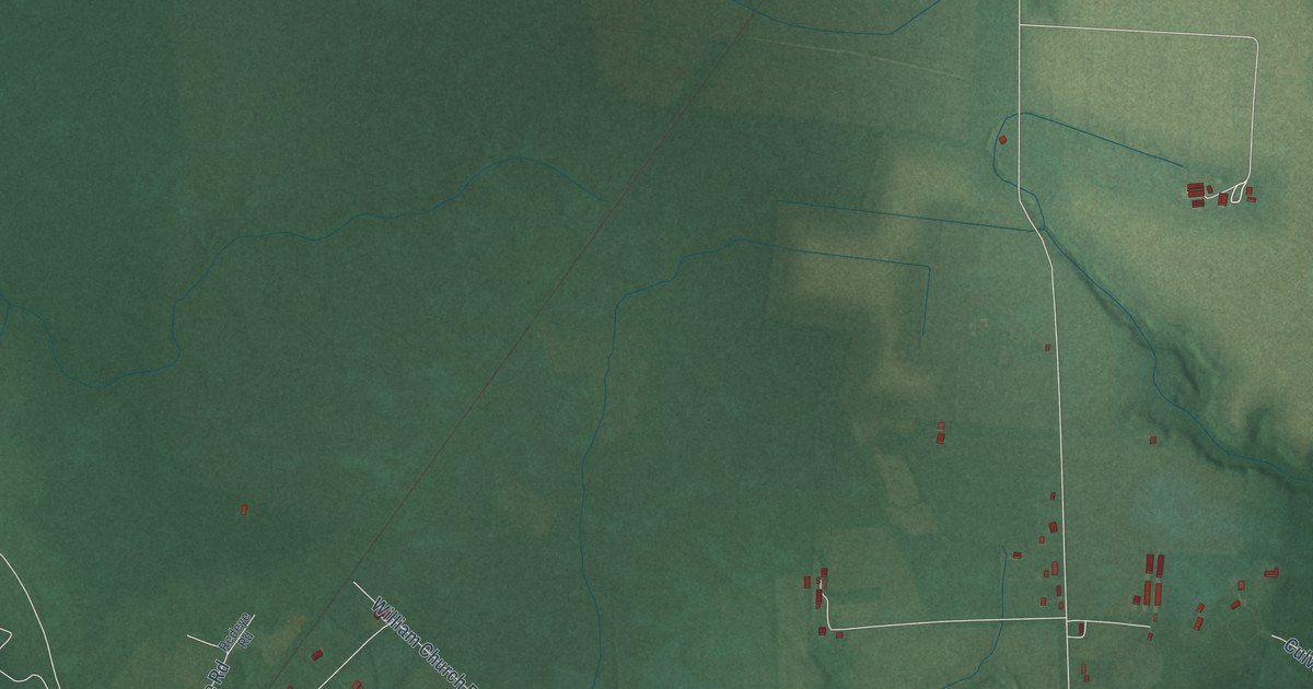
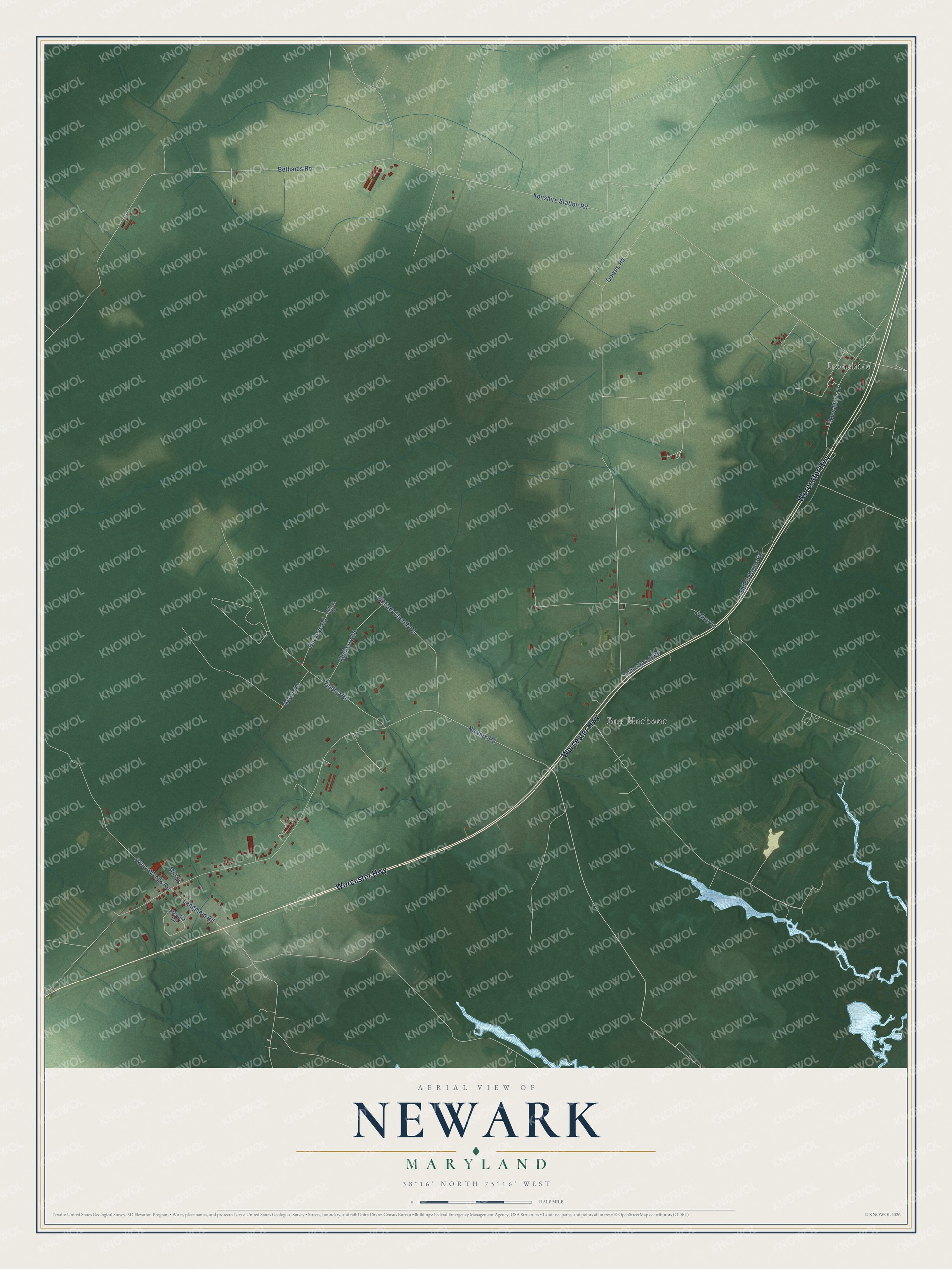
This beautifully detailed map of Newark, Maryland was created in 2026 using aerial imagery combined with modern topographical, census, street and landmark data. It's a modern aerial view of Newark in Worcester County, Maryland, that combines modern data with a vintage aesthetic. The roads feature printed names, and if you look closely you can find your exact house accurately shown in its correct location.
Explore an aerial view of Newark, Maryland
On this map you'll find Ironshire, Bay Harbour, Worcester Highway, Newark Road, Ironshire Station Road, Downs Road, Bethards Road, Tindley Road, Patey Woods Road, William Church Road, West Shire Drive, Mulberry Road, and more. Each red shape is a building, so zoom in on the preview and look for yours.
Here is a piece of Newark history. Newark grew up where two country roads crossed, and an 1866 map spelled the name New Ark. One account says it came from an early name of the town's Methodist church, the New Ark of the Covenant Church. Another says a big frame building in the town center was nicknamed the new ark because it looked like Noah's ark. When the Pennsylvania Railroad built the depot in 1910 and 1911, it named it Queponco Station to tell it apart from the Newark stations in Delaware and New Jersey. Queponco was the old Native name for the area, said to mean the land of the burnt pines. That's from the Maryland Historical Trust.
Newark is a community in Worcester County. The Census Bureau counted 401 people here in 2020.
Take a closer look at the Newark map
Names on this map
These names are printed on this map.
Places: Ironshire and Bay Harbour.
Streets and roads: Worcester Highway, Newark Road, Ironshire Station Road, Downs Road, Bethards Road, Tindley Road, Patey Woods Road, William Church Road, West Shire Drive, Mulberry Road, Buckeye Road, Langmaid Road.
More street names, A to Z
Acorn Road, Arcadia Circle, Culver Lane, Lariton Woods Road, Mill Street, Redeye Road, Shiloh Farms Road.
See it on a wall
The Newark map as a framed print. Swipe for more.


Created by KNOWOL in 2026. The buildings are small red shapes, the roads carry their printed names, and shaded relief shows the shape of the land. The title panel reads "AERIAL VIEW OF NEWARK, MARYLAND" with 38°16' NORTH 75°16' WEST.
It suits a den, a classroom or a front hall, and it makes a gift for anyone with Newark roots. Open the preview and find the block you know. See sizes and frames for the Newark map.