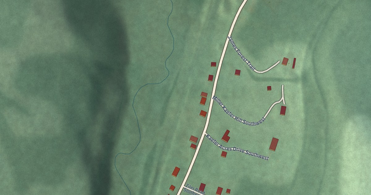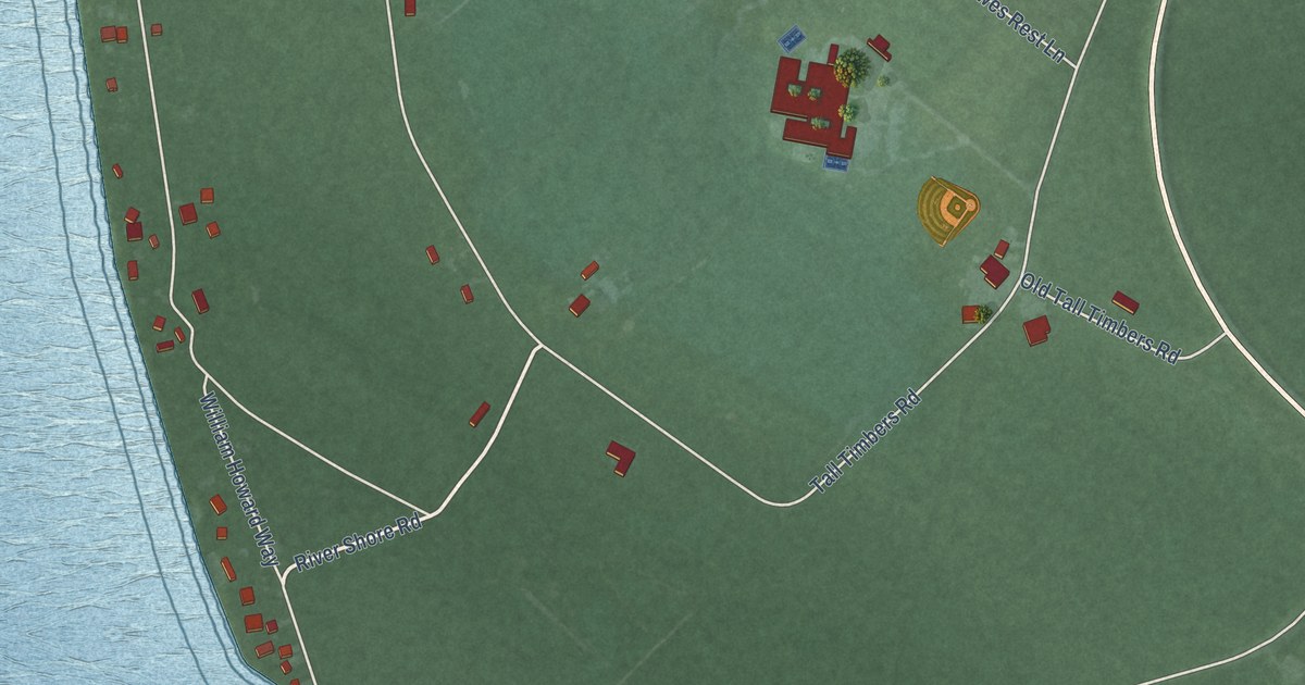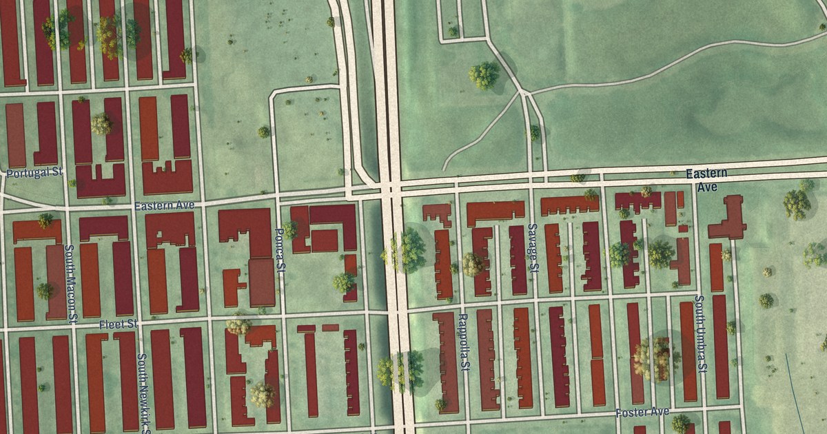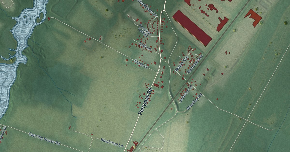
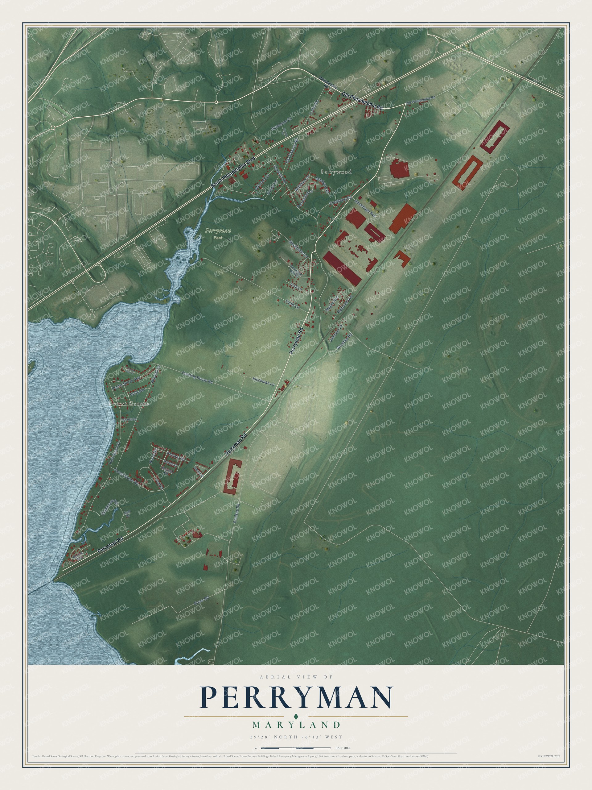
This beautifully detailed map of Perryman, Maryland was created in 2026 using aerial imagery combined with modern topographical, census, street and landmark data. It's a modern aerial view of Perryman in Harford County, Maryland, that combines modern data with a vintage aesthetic. The roads feature printed names, and if you look closely you can find your exact house accurately shown in its correct location.
Explore an aerial view of Perryman, Maryland
On this map you'll find Perrywood, Perryman Park, Forest Greens, Perryman Road, Old Philadelphia Road, South Philadelphia Boulevard, Poclain Road, Chelsea Road, Park Beach Drive, Fords Lane, Canning House Road, Mitchell Drive, and more. Each red shape is a building, so zoom in on the preview and look for yours.
Here is a piece of Perryman history. In 1917 the Army took a vast stretch of the bayshore for Aberdeen Proving Ground, wiping out several Harford County canning villages, and the Mitchell canning company moved to Perryman. Perryman had the railroad, which the company needed to ship its cans, and the Mitchell family had long ties there, so the village grew fast around the cannery. By 1991 Perryman was the only one of the county's old canning communities still fairly intact, with homes built for Mitchell managers and workers and the company office. That's from the Maryland Historical Trust.
Perryman is a community in Harford County. The Census Bureau counted 2,496 people here in 2020.
Take a closer look at the Perryman map
Names on this map
These names are printed on this map.
Places: Perrywood, Perryman Park and Forest Greens.
Streets and roads: Perryman Road, Old Philadelphia Road, South Philadelphia Boulevard, Poclain Road, Chelsea Road, Park Beach Drive, Fords Lane, Canning House Road, Mitchell Drive, Spesutia Road, Boyer Road, Clubhouse Road.
More street names, A to Z
Advantage Avenue, Bennett Road, Bruce Road, Church Point Court, Cranberry Road, Ernest Lane, Forest Green Road, Garner Drive, Gemstone Court, Golf Drive, Gulf Drive, Heron Street, Hinchman Lane, Holly Avenue, Irish Lane, Johnson Lane, Locust Road, Loflin Road, Maple Avenue, Marina Avenue, Mayberry Drive, Mitchell Lane, Old Stepney Road, Perryman Yard Road, Perrywood Drive, Philadelphia Road, Poplar Grove Avenue, Railroad Avenue, Rimfield Road, Stockhams Lane, Willshire Drive, Woodley Road.
See it on a wall
The Perryman map as a framed print. Swipe for more.


Created by KNOWOL in 2026. The buildings are small red shapes, the roads carry their printed names, and shaded relief shows the shape of the land. The title panel reads "AERIAL VIEW OF PERRYMAN, MARYLAND" with 39°28' NORTH 76°13' WEST.
It suits a den, a classroom or a front hall, and it makes a gift for anyone with Perryman roots. Open the preview and find the block you know. See sizes and frames for the Perryman map.