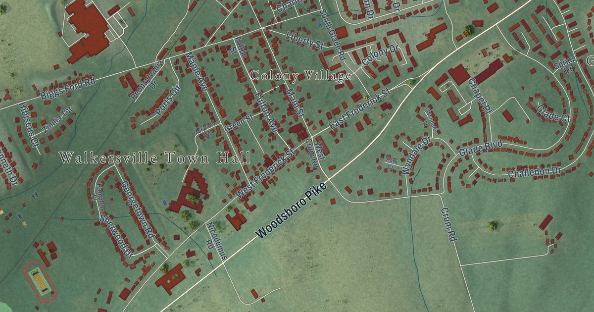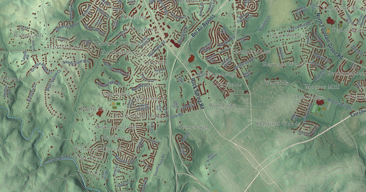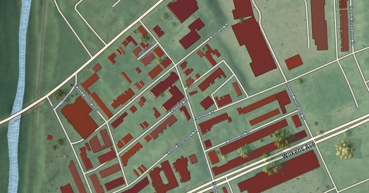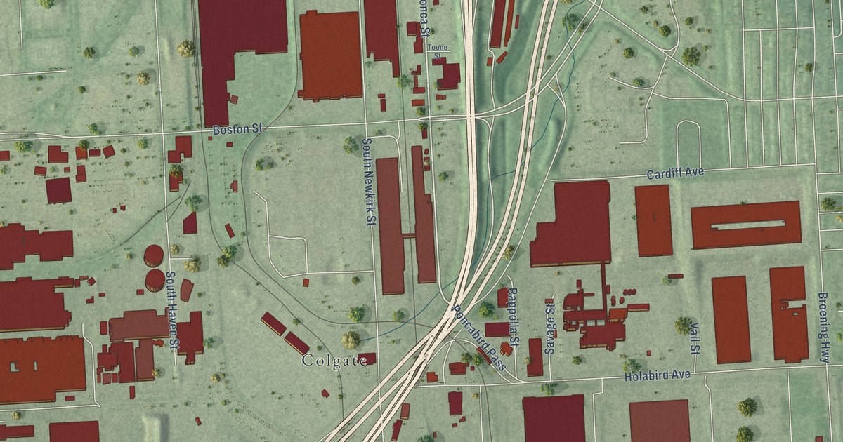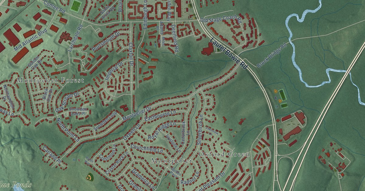
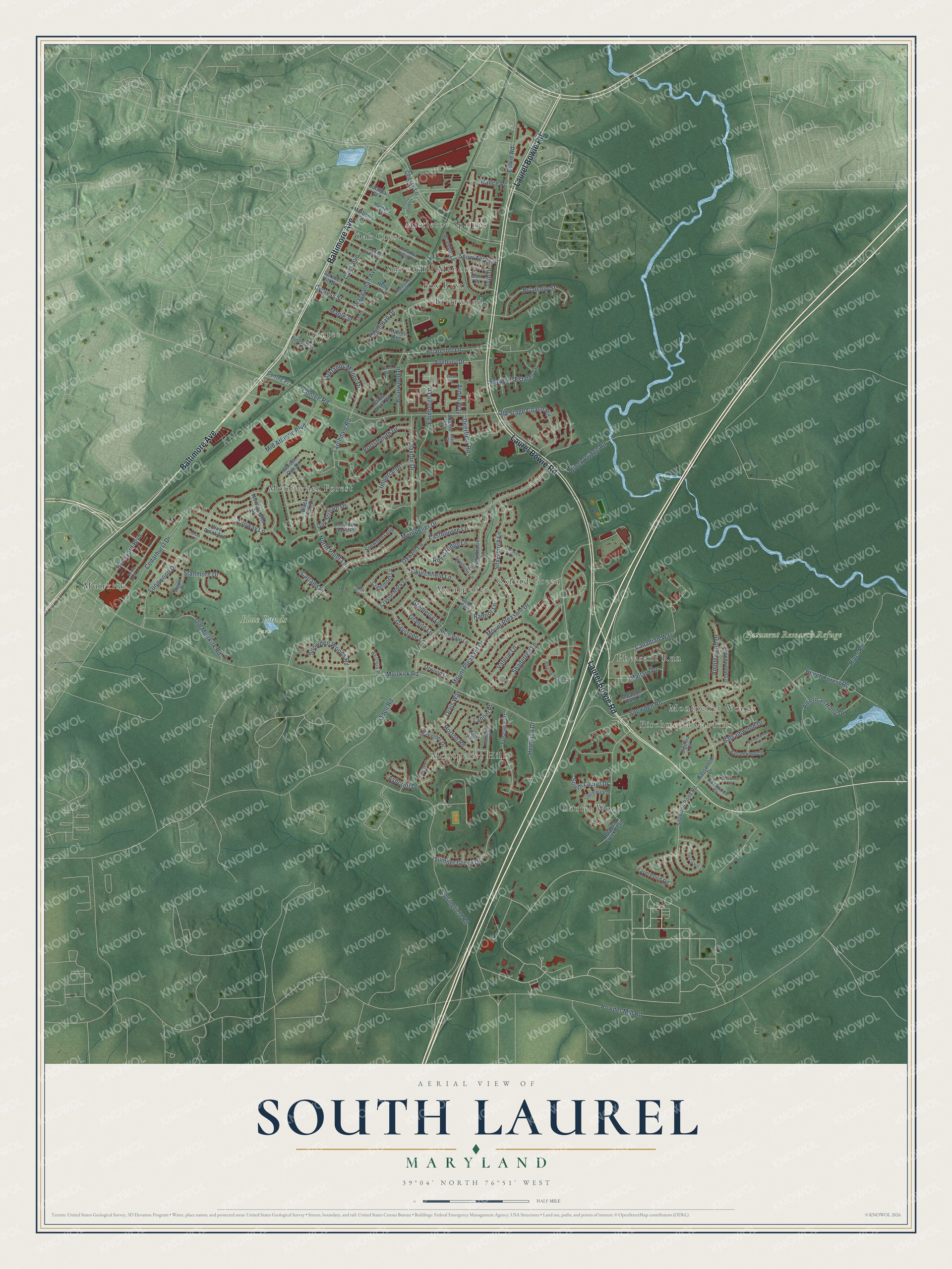
This beautifully detailed map of South Laurel, Maryland was created in 2026 using aerial imagery combined with modern topographical, census, street and landmark data. It's a modern aerial view of South Laurel in Prince George's County, Maryland, that combines modern data with a vintage aesthetic. The roads feature printed names, and if you look closely you can find your exact house accurately shown in its correct location.
Explore an aerial view of South Laurel, Maryland
On this map you'll find Blue Ponds Park, Patuxent Research Refuge, Oak Crest, Birchwood Gardens, Montpelier Forest, Oxford Green, Muirkirk, Contee, Montpelier, Snow Hill Manor, Montpelier Hills, Montpelier Woods, and more. Each red shape is a building, so zoom in on the preview and look for yours.
South Laurel is a community in Prince George's County. The Census Bureau counted 29,602 people here in 2020. The map prints the town name in its title panel, with the coordinates below it.
Take a closer look at the South Laurel map
Names on this map
These names are printed on this map.
Places: Blue Ponds Park, Patuxent Research Refuge, Oak Crest, Birchwood Gardens, Montpelier Forest, Oxford Green, Muirkirk, Contee, Montpelier, Snow Hill Manor, Montpelier Hills, Montpelier Woods, Pheasant Run, Briarwood, Laurel Wood, Mistletoe Springs and Fox Rest.
Streets and roads: Baltimore Avenue, Laurel Bowie Road, Contee Road, Old Stage Coach Road, Cherry Lane, Muirkirk Road, Snowden Woods Road, Mount Pleasant Drive, Silverbirch Lane, Cedarhurst Drive, Powder Mill Road, Montpelier Drive.
More street names, A to Z
Adams Place, Alloway Lane, Amblewood Drive, American Holly Drive, Apache Tears Circle, Arden Way, Ascot Lane, Ashcroft Drive, Aspenwood Lane, Avebury Drive, Balsamwood Court, Balsamwood Drive, Balsamwood Terrace, Basswood Court, Basswood Drive, Basswood Terrace, Beaver Creek Trail, Beech Forest Road, Bigonia Drive, Black Oak Drive, Blue Point Avenue, Bovelder Drive, Bowie Road, Bramble Lane, Breyer Place, Briarchip Street, Briarcroft Lane, Briardale Lane, Briarwood Drive, Brickyard Boulevard, Brock Bridge Road, Canadian Way, Carland Place, Catalpa Street, Cedarbrook Lane, Cherry Lane Court, Chestnut Ridge Drive, Churchfield Lane, Clark Avenue, Claxton Drive, Clocktower Lane, Contee Place, Crestmont Lane, Crystal Rock Lane, Cypress Street, Deerfield Road, Dub Drive, Eastbourne Lane, Edinburgh Lane, Engleman Drive, Farm Pond Road, Golden Oak Drive, Golden Pass, Gramercy Lane, Granite Lane, Graystone Lane, Hance Place, Hermosa Drive, Holly Street, Horton Road, Imperial Drive, Ivystone Lane, Jib Lane, Kiama Road, Lanner Place, Larchdale Road, Laurelwalk Drive, Lawnview Lane, Locust Grove Drive, Lomax Lane, Longwood Drive, Magnolia Street, Mallard Drive, Maple Street, Mark Place, Mid Atlantic Boulevard, Miles Court, Montague Drive, Mulberry Street, Northampton Drive, North Point Lane, Oaklands Manor Drive, Oak Stream Drive, Odell Road, Old Cistern Lane, Old Muirkirk Road, Orvis Way, Orwood Lane, Oxwell Lane, Pheasant Run Court, Pinehill Street, Portsmouth Drive, Radnor Lane, Railroad Avenue, Randy Lane, Raven Way, River Road, Robin Place, Royal Ridge Lane, Rustic Rock Lane, Santa Anita Road, Shadetree Lane, Snow Acres Drive, Snowden Loop, Snowden Oaks Place, Snowden Pond Road, Snowden Road, Snowhill Estates Lane, South Laurel Drive, Springfield Road, Spruce Hill Drive, Stanmore Drive, Sumner Grove Drive, Tupelo Avenue, Tuscany Drive, Valerie Lane, Waggaman Avenue, Westlock Place.
See it on a wall
The South Laurel map as a framed print. Swipe for more.


Created by KNOWOL in 2026. The buildings are small red shapes, the roads carry their printed names, and shaded relief shows the shape of the land. The title panel reads "AERIAL VIEW OF SOUTH LAUREL, MARYLAND" with 39°04' NORTH 76°51' WEST.
Hang it in the hallway, the office or the cabin, or give it to someone who left South Laurel and still calls it home. Open the preview and look for a street you know. See sizes and frames for the South Laurel map.