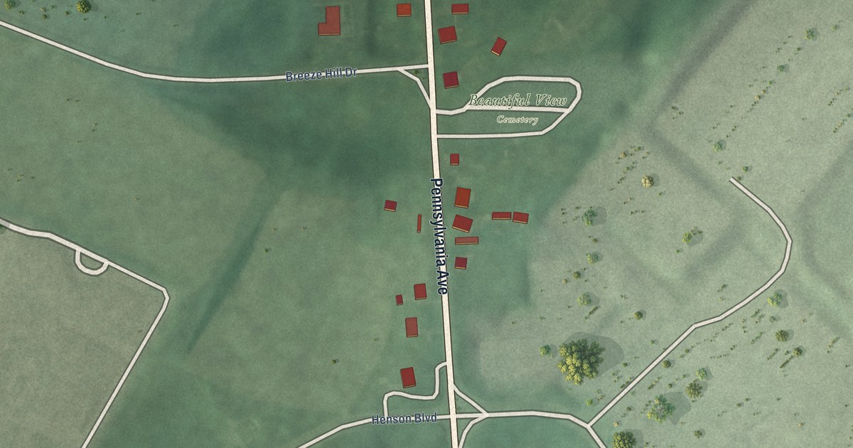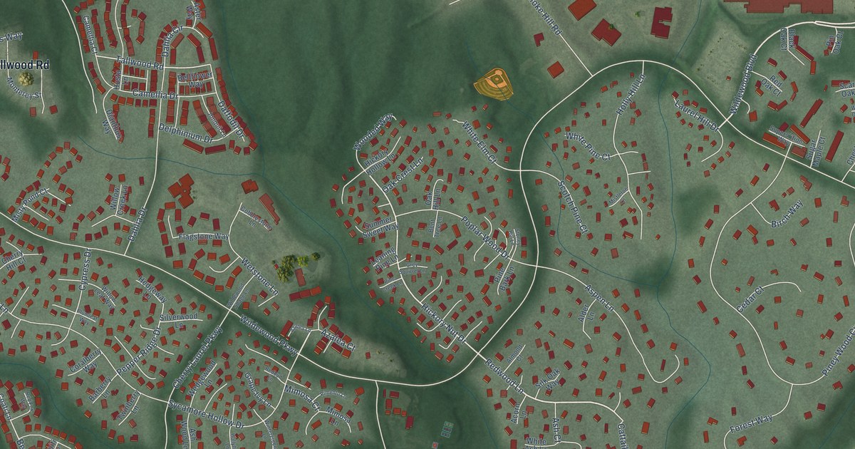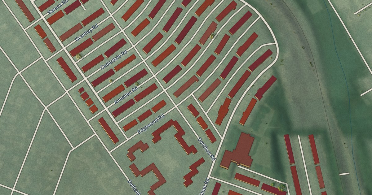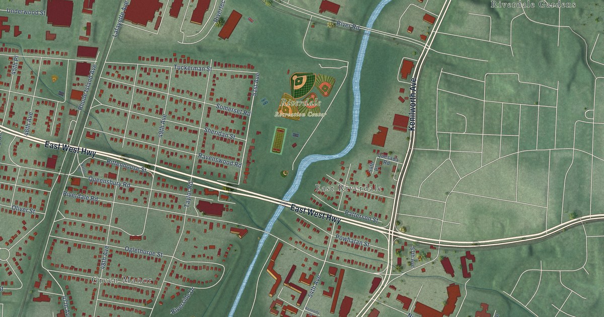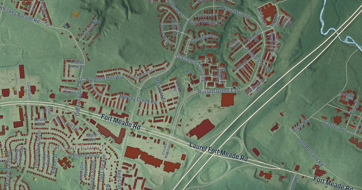
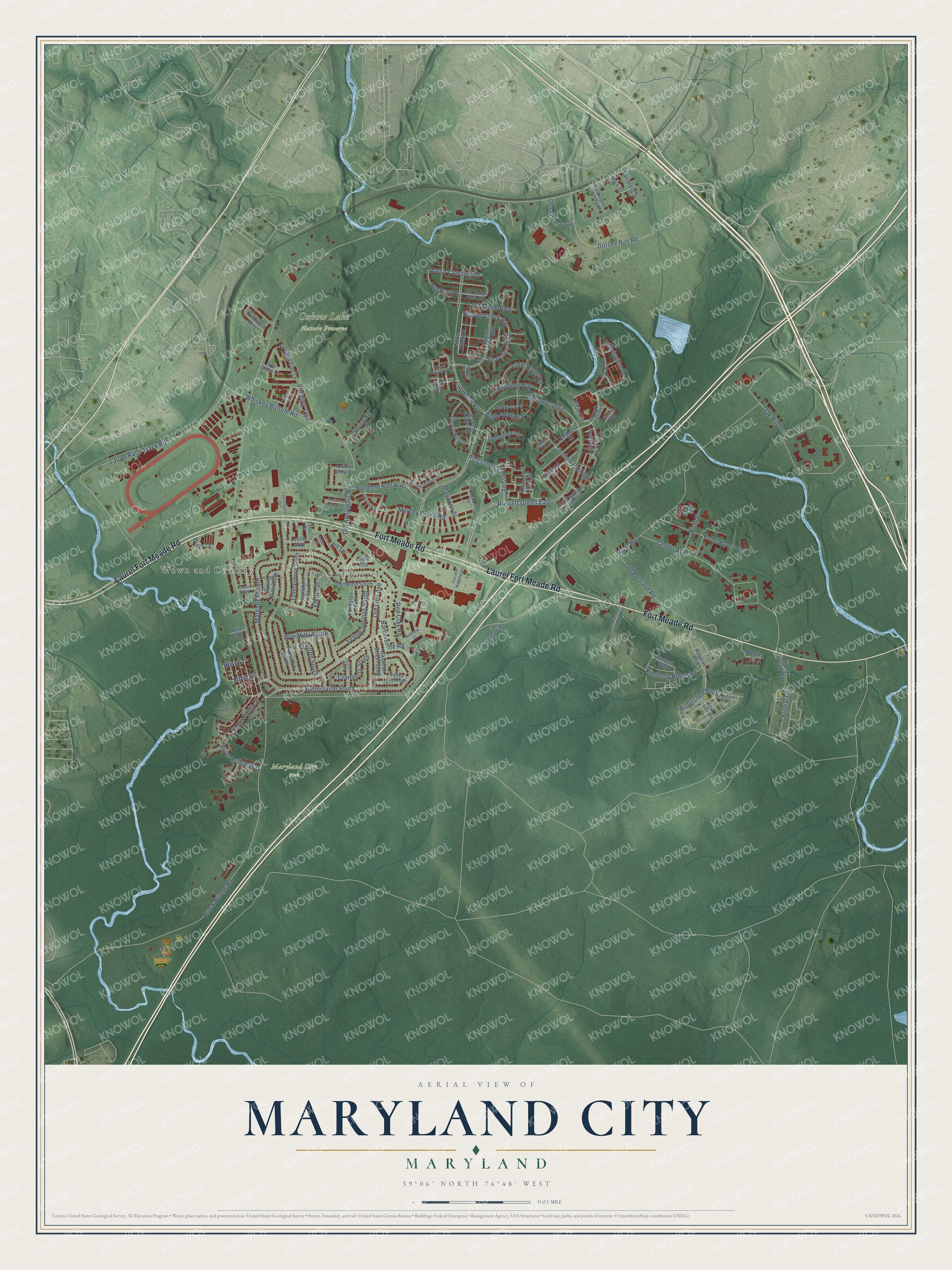
This beautifully detailed map of Maryland City, Maryland was created in 2026 using aerial imagery combined with modern topographical, census, street and landmark data. It's a modern aerial view of Maryland City in Anne Arundel County, Maryland, that combines modern data with a vintage aesthetic. The roads feature printed names, and if you look closely you can find your exact house accurately shown in its correct location.
Explore an aerial view of Maryland City, Maryland
On this map you'll find Maryland City Park, Oxbow Lake Nature Preserve, Pines of Laurel, Town and Country, Fort Meade Road, Laurel Fort Meade Road, Old Annapolis Road, Whiskey Bottom Road, Barbersville Road, Orion Circle, South Paula Street, Rose Street, and more. Each red shape is a building, so zoom in on the preview and look for yours.
Here is a piece of Maryland City history. Builder E. Harvey Kayne planned Maryland City as a community of 5,000 homes midway between Baltimore and Washington. Lumber was precut and walls and trusses were put together in a production area at the center of the development, and developers came from across the county to see it. The first houses were occupied in October 1962. Its four ranch models were sold as the Talbot, the Dorchester, the Somerset and the Kent. That's from the Maryland Historical Trust.
Maryland City is a community in Anne Arundel County. The Census Bureau counted 19,153 people here in 2020.
Take a closer look at the Maryland City map
Names on this map
These names are printed on this map.
Places: Maryland City Park, Oxbow Lake Nature Preserve, Pines of Laurel and Town and Country.
Streets and roads: Fort Meade Road, Laurel Fort Meade Road, Old Annapolis Road, Whiskey Bottom Road, Barbersville Road, Orion Circle, South Paula Street, Rose Street, Big Pool Road, Russett Green East, Beaver Creek Road, Brock Bridge Road.
More street names, A to Z
Andrew Court, Arundel Gateway Boulevard, Baltimore Street, Bayou Bend Boulevard, Bogalusa Road, Brushyridge Road, Button Bush Lane, Cecilton South, Center Avenue, Cherry Hill Lane, Claymont Street, Columbus Road, Corridor Marketplace, Cranberry South, Crooked Tree Lane, Crumpton South, Current Way, Dameron Street South, Dorsey Run Loop, Dorsey Run Road, Duckhorn Way, Elkton Street, Ellen Street, Ellerton South, Ertter Drive, Ethel Drive, Faraway Hills Drive, Federalsburg South, Finchleigh Street, First Street, Fluvial Lane, Forest Haven Avenue, Forest Haven Drive, Galaxy Way, Henryton South, Ironshire South, Jill Lane, Kimberly Ridge Road, Laureldale Drive, Laurel Race Track Road, Laurel View Court, Leslie Way, Liberty Valley Way, Linden Ridge Road, Little River Road, Londonleaf Lane, Lopseed Drive, Lost Creek Boulevard, Lyndhurst Street, Main Street, Manor Court Drive, Marcey Creek Road, Marganza South, Marsh Crossing Drive, Mayaone Street, Mississippi Road, Morning Star Place, Oak Hill Drive, Oak Pine Drive, Old Cedar Point Road, Old Line Avenue, Old Portland Road, Oxbow Place, Park Hall South, Pennington Drive, Pigeon Fork Lane, Piney Woods Place, Red Clay Road, Reserve Boulevard, Ridgemere Crossing, Rippling Way, River Bend Court, River Bridge Way, River Road, Russett Green, Scanic Meadow Drive, School Avenue, Sea Grass Lane, Second Street, Shadow Park Drive, Shoal Creek Drive, Shoreline Boulevard, Spring Gap South, Spring Road, Stone Hill Lane, Style Avenue, Sudlersville South, Swamp Rose Place, Tejon Road, Valley Lee South, Washington Street South, Water Lily Way, Watershed Boulevard, Welchs Court, Wenona South, Winding Trail, Wines Lane, Woodland Hills Way, Wye Mills South, Yellow Flower Road, Yellow Springs South.
See it on a wall
The Maryland City map as a framed print. Swipe for more.


Created by KNOWOL in 2026. The buildings are small red shapes, the roads carry their printed names, and shaded relief shows the shape of the land. The title panel reads "AERIAL VIEW OF MARYLAND CITY, MARYLAND" with 39°06' NORTH 76°48' WEST.
It suits a den, a classroom or a front hall, and it makes a gift for anyone with Maryland City roots. Open the preview and find the block you know. See sizes and frames for the Maryland City map.