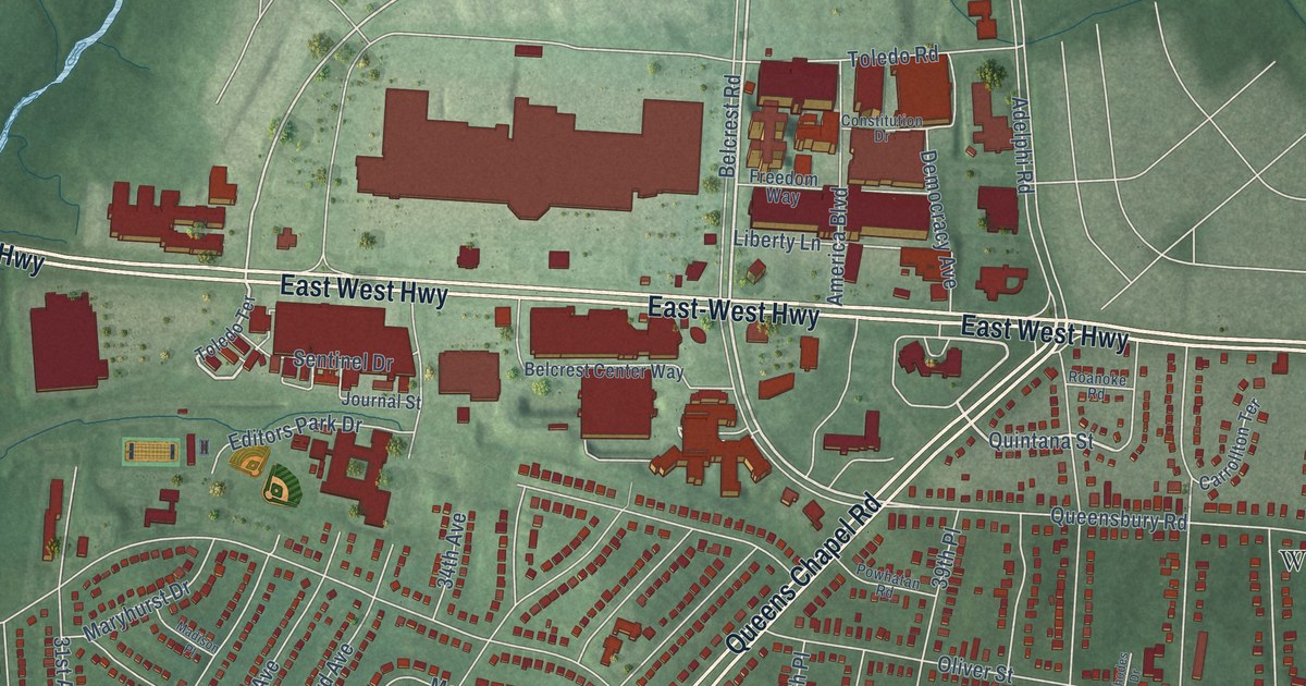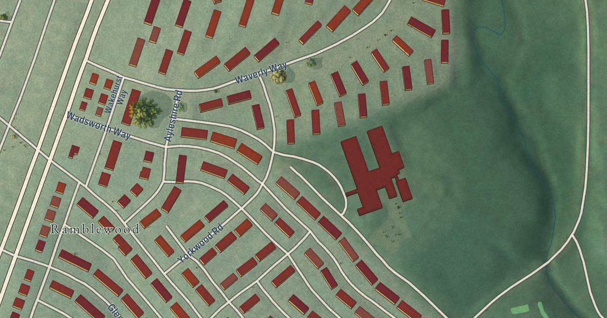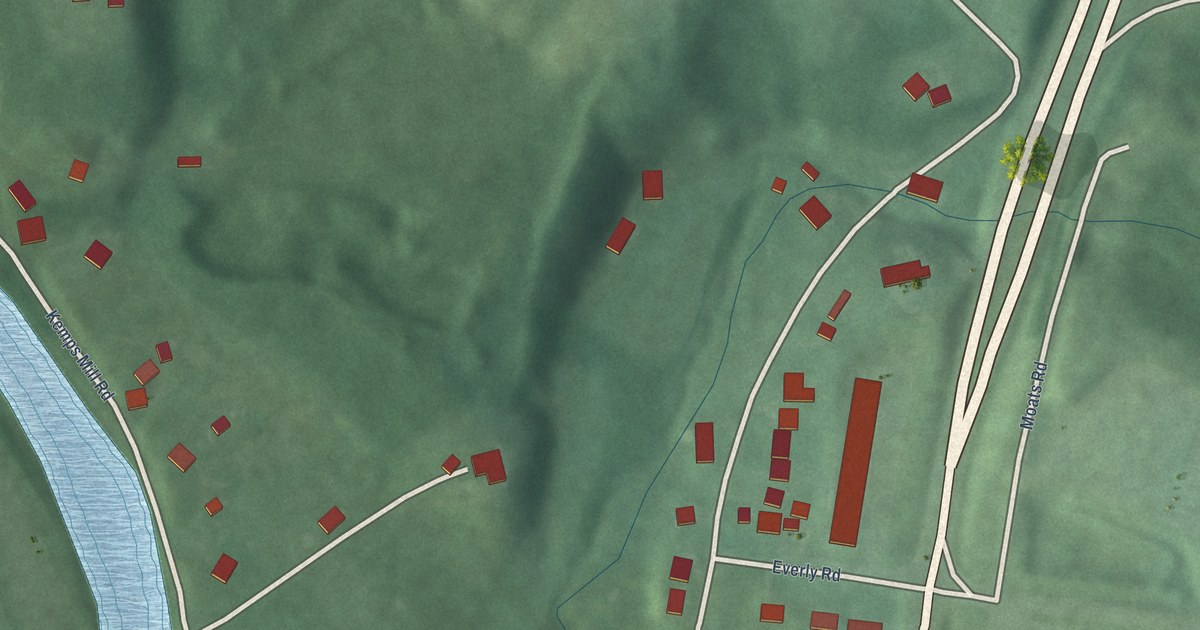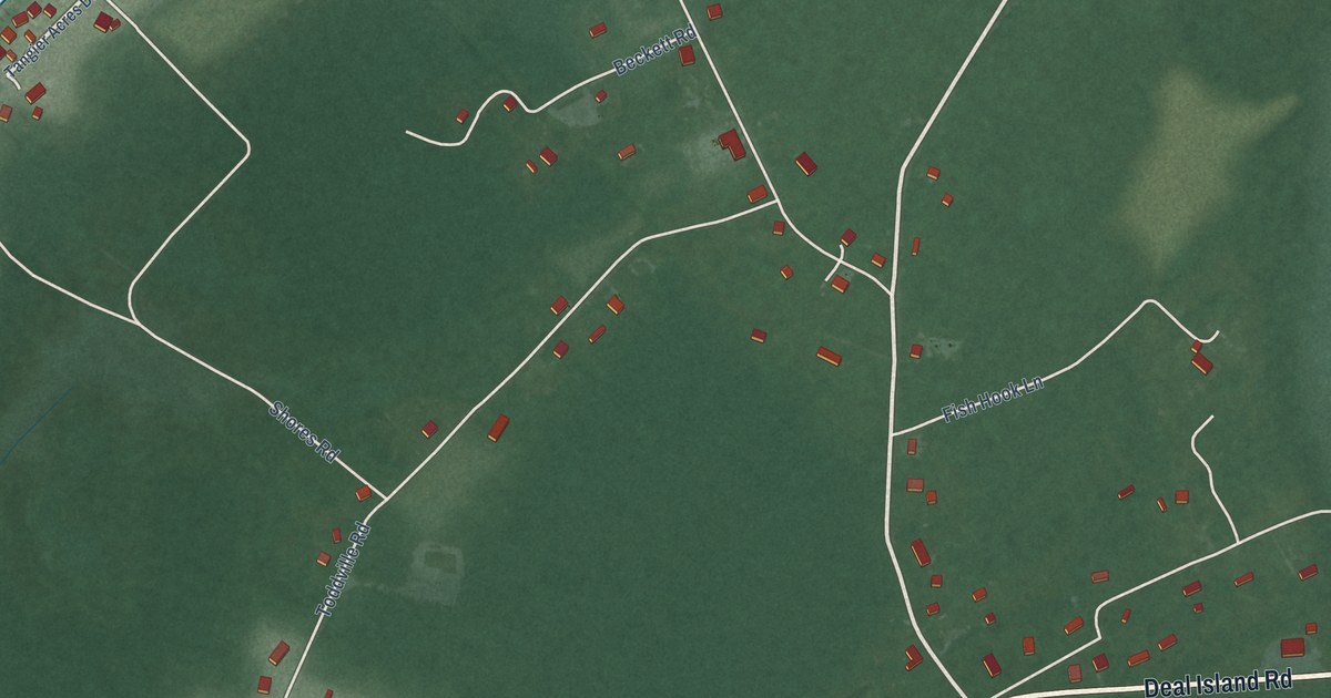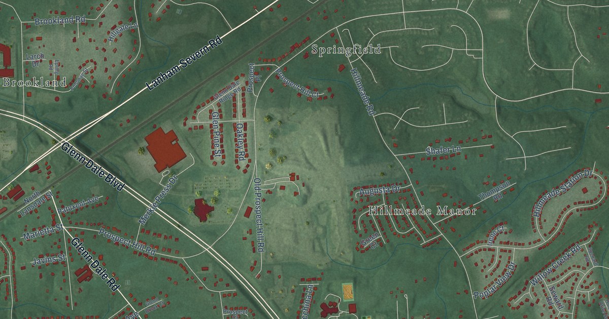
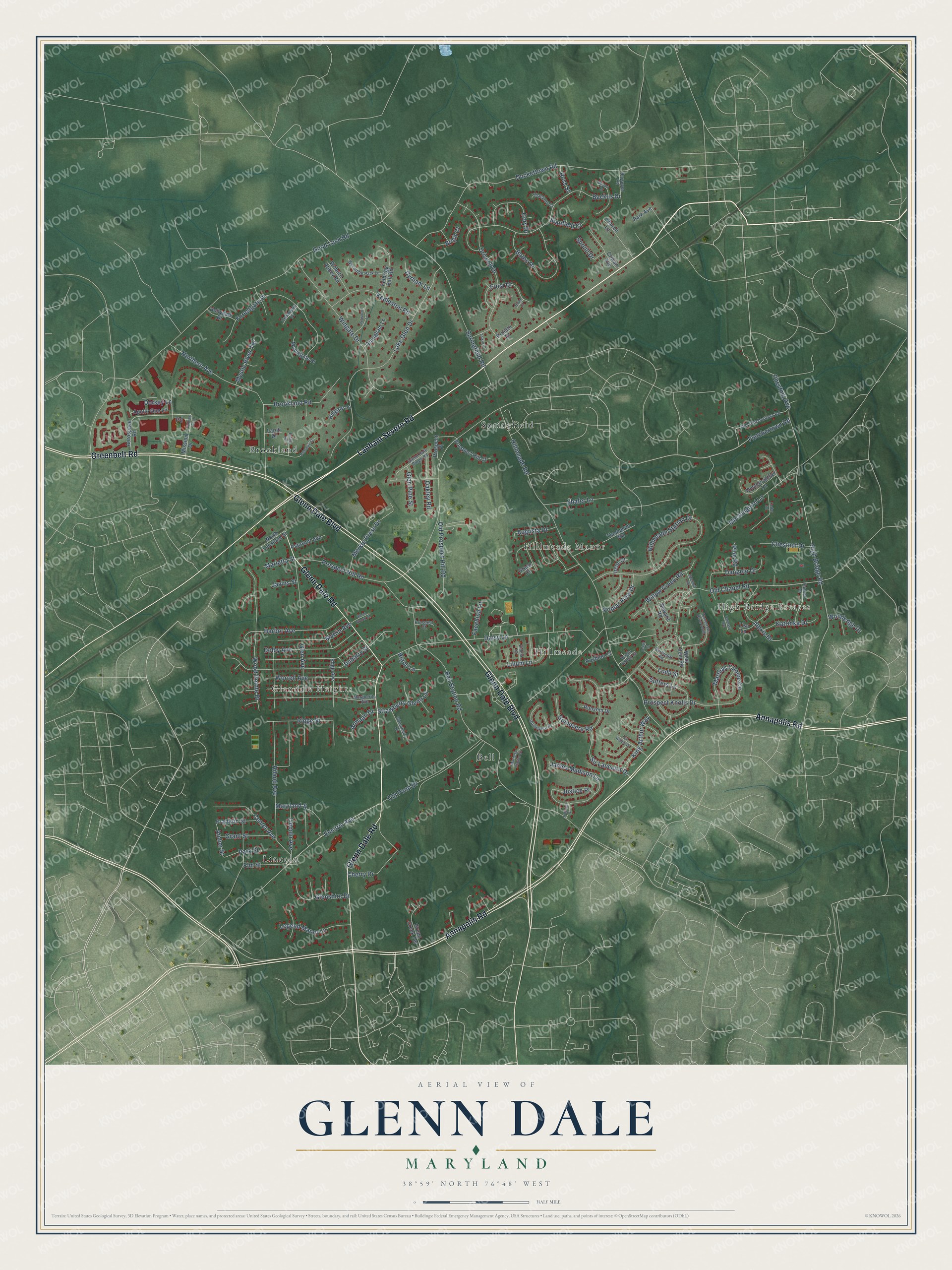
This beautifully detailed map of Glenn Dale, Maryland was created in 2026 using aerial imagery combined with modern topographical, census, street and landmark data. It's a modern aerial view of Glenn Dale in Prince George's County, Maryland, that combines modern data with a vintage aesthetic. The roads feature printed names, and if you look closely you can find your exact house accurately shown in its correct location.
Explore an aerial view of Glenn Dale, Maryland
On this map you'll find Hillmeade, Lincoln, Springfield, Glendale Heights, Brookland, High Bridge Estates, Bell, Hillmeade Manor, Lanham Severn Road, Glenn Dale Boulevard, Annapolis Road, Glenn Dale Road, and more. Each red shape is a building, so zoom in on the preview and look for yours.
Here is a piece of Glenn Dale history. The U.S. Plant Introduction Station at Glenn Dale opened in 1919 to test plants brought into the country. There B. Y. Morrison, later the first director of the National Arboretum, bred and named some 450 azaleas, and the Bradford pear was named for station superintendent Frederick Bradford. That's from the Maryland Historical Trust.
Glenn Dale is a community in Prince George's County. The Census Bureau counted 14,698 people here in 2020.
Take a closer look at the Glenn Dale map
Names on this map
These names are printed on this map.
Places: Hillmeade, Lincoln, Springfield, Glendale Heights, Brookland, High Bridge Estates, Bell and Hillmeade Manor.
Streets and roads: Lanham Severn Road, Glenn Dale Boulevard, Annapolis Road, Glenn Dale Road, Greenbelt Road, Electric Avenue, Fletchertown Road, Hillmeade Road, High Bridge Road, Chestnut Avenue, Center Avenue, Amber Street.
More street names, A to Z
Aerospace Road, Alexis Drive, Apollo One Lane, Armaan Drive, Attingham Lane, Augusta Drive, Backus Drive, Bates Drive, Bell Station Road, Blake Court, Bright Valley Court, Brigit Court, Brookland Road, Bryant Court, Cedargate Place, Cedar Road, Cherry Drive, Chestnut Drive, Church Lane, Cory Drive, Cowan Avenue, Daisy Lane, Dangelo Drive, Dolby Avenue, Dorsey Lane, Driscoll Drive, Dubarry Street, Duckettown Road, Dylan Street, Dyrham Lane, Edge Avenue, Elm Street, Epling Road, Facchina Lane, Fannon Drive, Felbrigg Hall Road, Forbes Boulevard, Forestgate Place, Franklin Street, Frost Drive, Glen Avenue, Glennberry Court, Glenn Brook Court, Glenn Dale Ridge Road, Glen Pine Street, Glenshire Drive, Good Luck Road, Grant Street, Green Court, Green Creek Terrace, Guinevere Place, Guinevere Road, Harbor Avenue, Hiland Avenue, Hillgate Lane, Hillmeade Station Drive, Hollygate Drive, Homestake Drive South, Horsepen Road, Irene Court, James Madison Lane, Javins Street, Judicial Drive, Justice Place, Katrinka Drive, Kedleston Road, King Arthur Way, Lake Glen Drive, Larch Drive, Legend Manor Lane, Lilium Lane, Lincoln Avenue, Lisa Lane, Lode Street, Maplegate Place, Marguerita Avenue, Marietta Station Drive, Marietta Street, Marthas Choice Circle, Martin Avenue, Maryland Street, Merkle Press Drive, Mission Drive, Mockingbird Lane, Mystic River Terrace, Northcliff Road, Northern Avenue, North Lansdale Street, Oakley Road, Old Chapel Road, Old Fletchertown Road, Old Pond Drive, Old Prospect Hill Road, Oystercatcher Lane, Park Avenue, Park Street, Patuxent Avenue, Petworth Lane, Pine Road, Poplar View Drive, Potomac Street, Proctor Court, Prospect Court, Prospect Hill Court, Prospect Hill Road, Prospect Knolls Drive, Prospect Place, Ransom Drive, Ridge Street, Rigoli Lane, Rochino Court, Ross Street, Seward Road, Shafer Lane, Sir Lancelot Drive, Sir Walter Drive, Spenard Road, Springfield Road, Spruill Drive, Stanfield Court, Strawberry Glenn Lane, Sutters Lane, Thackery Court, Thompson Road, Tolkin Court, Vanessa Avenue, West Vein Road, Willow Creek Road, Wingate Drive, Woburn Abbey Road, Woodedge Drive, Wood Pointe Drive, Worrell Avenue, Wycombe Park Lane, Zinnia Court.
See it on a wall
The Glenn Dale map as a framed print. Swipe for more.


Created by KNOWOL in 2026. The buildings are small red shapes, the roads carry their printed names, and shaded relief shows the shape of the land. The title panel reads "AERIAL VIEW OF GLENN DALE, MARYLAND" with 38°59' NORTH 76°48' WEST.
It suits a den, a classroom or a front hall, and it makes a gift for anyone with Glenn Dale roots. Open the preview and find the block you know. See sizes and frames for the Glenn Dale map.